
Something is brewing over the Pacific Ocean that will have wide-reaching implications for weather across the globe. As it grows, so does the buzz over the potential for a super El Niño.
A Super El Niño is a stronger-than-normal El Niño, meaning the surface waters of the Pacific are warming along the equator. And some weather experts are predicting this one could be a record-setter.
That translates to the potential for flooding, landslides, record temperatures and a supercharged hurricane season.
Meteorologists worldwide are saying that if the current warming trend continues, it will manifest as a Super El Niño by the end of this summer.
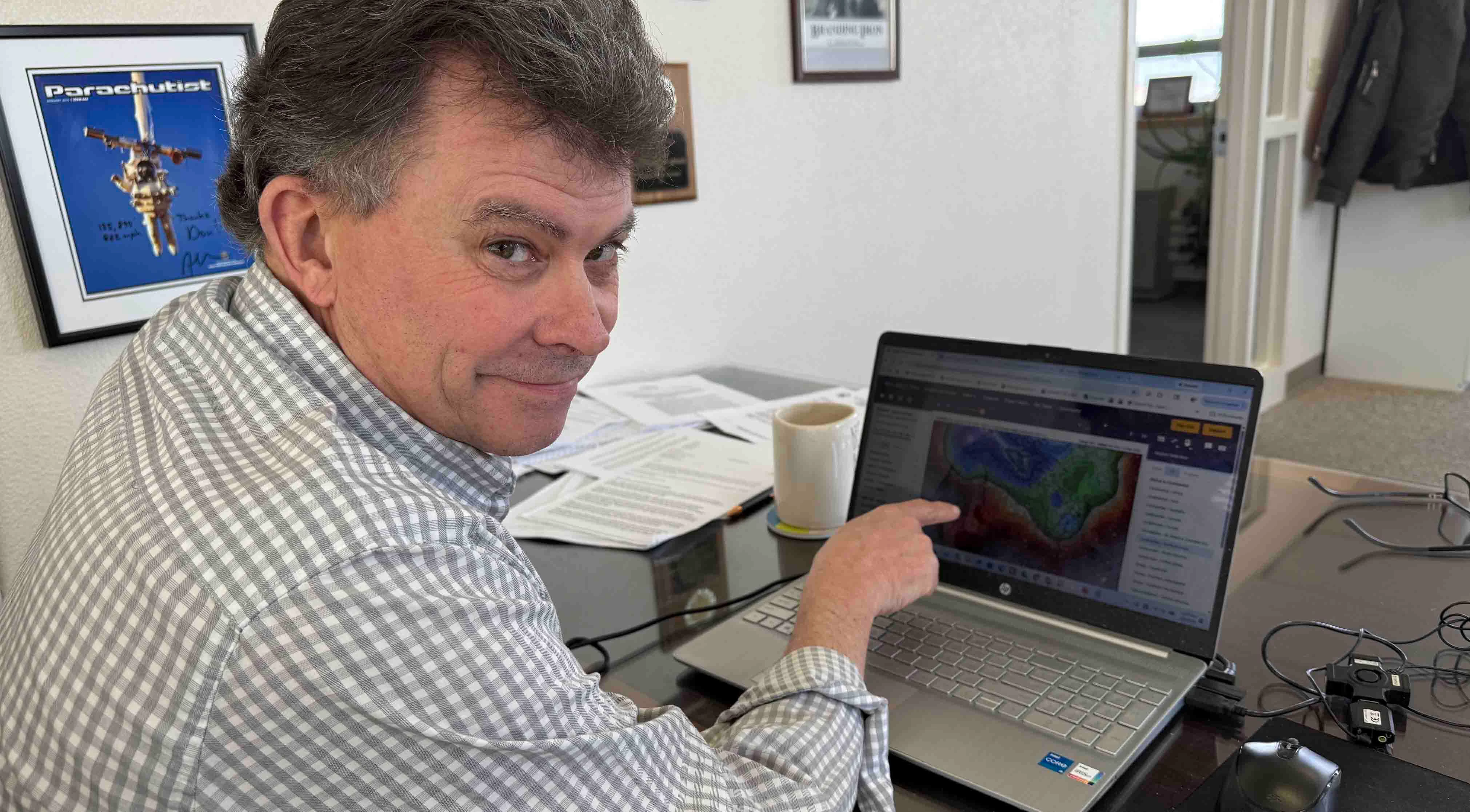
Cowboy State Daily meteorologist Don Day is aware of these predictions and projections. So far, he’s unmoved about the potential impacts for Wyoming weather.
"We are undoubtedly going to have an El Niño, and it’s going to be a strong one, but I’m telling people to proceed with caution,” he said. “Making leaps into projections of what’ll happen six months down the road is not smart.”
If Everything’s Super
El Niño and La Niña are opposite phases of the same Pacific Ocean weather patterns.
El Niño is generally fast and furious, with weaker ocean surface winds that spread warmer water, while La Niña tends to last longer, with stronger surface winds that spread cooler water.
Super El Niño isn't a scientific or meteorological term. It’s when a regular El Niño has amplified effects, usually because of above-average surface water temperatures.
“The metric we use is the deviation in sea surface temperatures in the Pacific along the equator west of South America to southeast Indonesia,” Day said. "The (deviation) that would put it in the super El Niño status is 2 degrees Celsius warmer.”
Day said current sea surface temperatures in that region are 0.7 degrees Celsius warmer, adding that there isn’t any immediate indication that there will be a Super El Niño this year.
The “clickbait,” he said, comes from long-range computer modeling that indicates the current warming trend will continue until it becomes a Super El Niño.
“What's making the headlines is the computer model predictions that a Super El Niño will form this summer into fall and maybe linger into early winter,” he said. “We're not in a Super El Niño yet, but it’s being predicted by the models.”
That’s what has publications like The New York Times and The Washington Post discussing the implications of global famines and other extreme weather events related to a Super El Niño.
That’s where Day draws the line.
“We need to not get the cart so far out of the horse on this one,” he said. “An El Niño is forming. It's certainly there, but they’re overestimating the warming and warning at this point.”
Model Madness
In a world where long-range computer modeling is the future of meteorology, Day said he still relies on the tried-and-true methods. The best way to understand the future is to analyze the present through the lens of the past.
“History has shown is that while the model trend may be correct, the intensity and impacts from a really strong intensity is something that the models honestly aren’t very good at,” he said.
“If you're going to take a model’s highest outcome, meaning its worst-case scenario, and start making predictions, you run a high risk of this being really wrong,” Day added.
Day doesn’t have to look far for an apt example of where overreliance on long-range models can go awry. That’s been the story for the last seven months and “the winter that wasn’t.”
“The weather models that everybody uses to make forecasts were consistently predicting 2 to 4 inches of water across Eastern Wyoming in April,” Day said. “No one got even a quarter of that prediction.”
The 2025-2026 winter season was one of the worst in recorded history, with record-breaking warmth and record-setting low snowpack in Wyoming, Colorado, and Utah. According to Day, none of that was anticipated by long-range weather models.
“Our models have failed,” he said. “Every time we saw an opportunity for colder, wetter weather this winter, a high-pressure ridge would set up and block it. Nobody anticipated that, and no models predicted it. Simply put, they’ve failed.”
That’s why Day isn’t hopping on the Super El Niño bandwagon quite yet. The long-range models might be enough for other meteorologists, but trusting their six-month outlook is too risky for him.
“Most of the people talking about these huge impacts and the strong El Niño are using the modeling to make conclusions and dire predictions,” he said. “It's got people all in a tizzy, but I’m going to be a little more skeptical this early on.”
One Size Won’t Fit All
Cycling between El Niño and La Niña is normal in the Pacific, but the shift is so wide-reaching that it has different impacts across regions.
“El Niño’s impact is going to be different based on where you are,” Day said. “An El Niño can be really good for the southern U.S. while causing really bad drought in Australia. It can be awful for agriculture in Brazil, while it’s really wet in Argentina. It causes extremes.”
In 2019 and 2020, bushfires in Australia killed 33 people and around 3 billion animals. Day said those fires directly correlated with an El Niño.
That’s why there have been so many stories about the impacts of a Super El Niño. Day believes meteorologists are “leaping to conclusions” so people can anticipate the worst-case scenarios and how they might manifest.
However, just because there’s historical precedent for Super El Niños and their impacts doesn’t mean the same scenarios will occur again. That’s another thing Day has learned from the historical records.
“A lot of people are comparing this El Niño to the really strong one we had in 1997 and others that have been really strong in the past, but it's not apples to apples,” he said. “The Pacific Ocean is not the same every year.”
Day cited the work of meteorologist and climatologist Jan Null, who analyzed the last decade of computer modeling in the Pacific Ocean, specifically focusing on El Niño.
“What he showed was that while the trend of the modeling was correct, it continuously over-forecasted the intensity of the change in water temperature,” he said. “They've always overestimated the amount of warming.”
For Day, that’s another mark against completely trusting the six-month Super El Niño outlook.
However, no one’s denying that there’s an El Niño on the way. What will that mean for Wyoming?
El Niño Or El Diablo?
Whether it’s a super or normal, El Niño has generally been a good thing for Wyoming. After a historically dry winter, it could be better than ever.
“When we see this El Niño phase change, especially from spring into summer, it has historically led to more precipitation,” Day said. “El Niño can be very good for the western U.S in terms of enhanced precipitation, and it decreases hurricane activity in the Atlantic, which is good for the southern U.S.”
According to Day, an El Niño could go a long way toward alleviating drought across the U.S.
That impact hasn’t arrived yet, and it’s too early to say how intense it’ll be. Day said Wyoming won’t get the brunt of any El Niño until later this year.
“The bigger impacts that happen globally and across the country happen from fall and winter into spring,” he said. “If it does develop, the impacts of the Super El Niño will really manifest themselves in late fall into spring 2027.”
That’s not to say there haven’t been some beneficial changes in the short term. Southeast Wyoming got more moisture in May than at any other point since November 2025.
That’s somewhat related to the ongoing shifts in the Pacific Ocean, and hopefully that’ll lead to more wet weather going into summer. However, Day cautions people against reading too much into any forecast that relies too heavily on a potential Super El Niño.
“What we see tomorrow isn’t because of an El Niño, super or otherwise,” he said. “It can have a strong global impact, but we have to take this one step at a time.”
And those Super El Niño stories in The Washington Post?
“In my personal opinion, The Washington Post is not the place to go to get weather information,” Day said. “This far out, anything making doomsday predictions about a Super El Niño is just clickbait.”
Andrew Rossi can be reached at arossi@cowboystatedaily.com.


