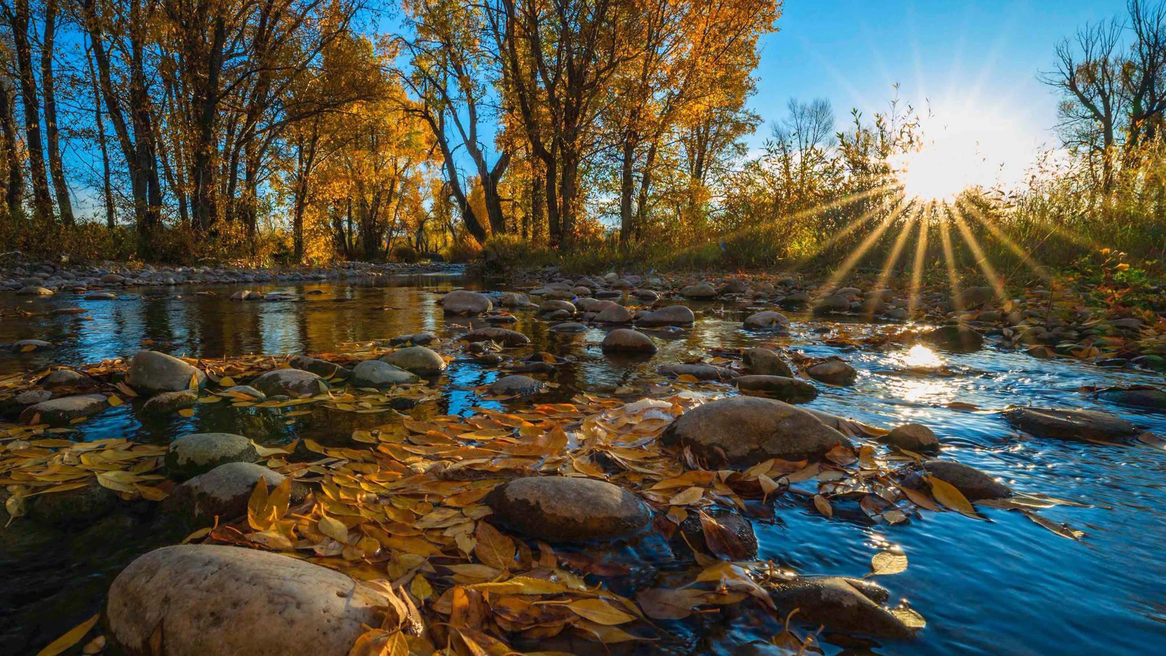
Wyoming has been experiencing something out of the ordinary over the last couple days: Normal fall weather.
Thanks to an influx of hurricane moisture and cold Canadian air, the past few days have been colder and wetter than it’s been in a long time.
It’s almost normal, which has been rare for any month since this time last year.
But for how long? Will these patterns persist, or is another wave of summer temperatures on the horizon?
“It’s looking more like fall across Wyoming, for sure,” said meteorologist Richard Lowe with the National Weather Service (NWS) office in Riverton.
“After a drier and warmer-than-average summer and early fall, we are definitely looking forward to more fall-like weather.”
Rachel’s Remnants
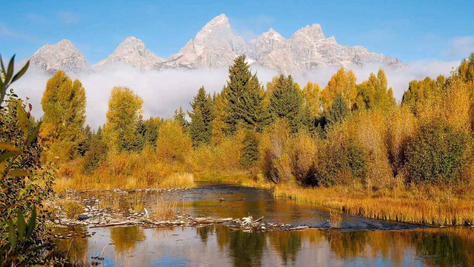
Since a winter weather system moved into Wyoming over the weekend, the state has trended cooler and wetter.
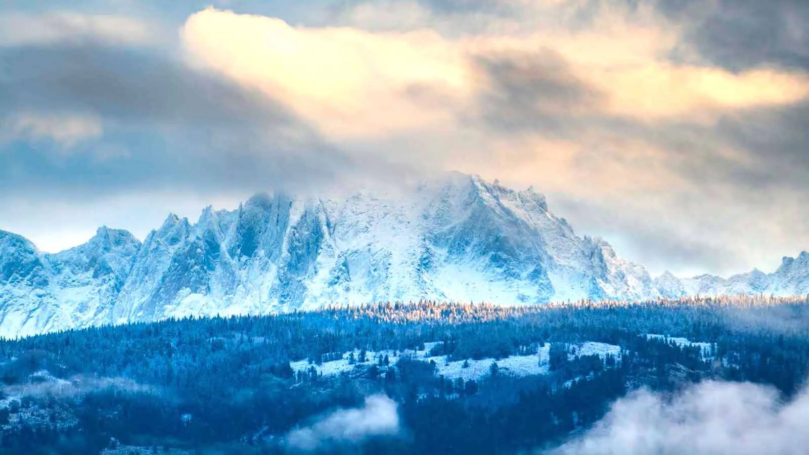
Snow has been falling in Yellowstone National Park, on Togwotee Pass, and in other high-elevation areas.
The NWS office in Cheyenne is anticipating the first widespread freeze of the season, with temperatures at or below 32 degrees, between Thursday night and Friday morning.
This shift was the result of cold Canadian air mixing with “Rachel’s remnants.”
“The month of October started out very warm and dry, but we've finally broken that in the last few days,” said meteorologist Michael Natoli. “First, we had the remnants of Hurricane Rachel bring some moisture to the western part of the state over the weekend, and now we have some colder air filtering into the state.”
Hurricane Rachel transitioned from a Category 3 hurricane to a strong tropical cyclone by the time it reached Southern California's coast on Sunday.
The storm dissipated over Nevada and the Rocky Mountain Region on Monday, bringing widespread moisture to Wyoming.
Natoli added that one big benefit is this slow-moving, “upper-level low-pressure” system, created as Hurricane Rachel dissipated, is taking its time across Wyoming.
That’s a trademark of a strong El Niño-influenced event, which is already the dominant force in fall and upcoming winter weather.
“El Niño tends to produce these slow-moving systems that can be beneficial in terms of weather,” he said. “As this system moves south over the next several days, there will be another chance for some rain and high-elevation snow showers through Thursday.”
The combined drop in temperature and influx of moisture has also created a stubborn cloud layer, making things even cooler and preventing a buildup of heat during the day.
According to Lowe, another benefit of this system is that it’s untethered from the jet stream. This increases its benefit by further slowing it down.
“The jet stream has dipped far enough south to allow these systems to come through our part of the country,” he said. “This will just continue on from here on out.”
So Long, Summer
The first days of October were extremely hot. Daytime highs were in the high 70s to low 80s for several consecutive days.
“The first 10 days of the month were so exceptionally warm,” Natoli said. “Temperature-wise, we're almost certainly going to be on the very warm end of the average temperature spectrum, no matter what happens through the end of the month.”
However, both Natoli and Lowe said the 80-degree days are done.
“Those days are definitely over,” Lowe said. “The Bighorn Basin and Johnson County might see some 70s into the weekend, but not near as warm as it was earlier this month.”
Temperatures are expected to jump into the 60s by Friday, with some of those areas even reaching into the low 70s.
However, warmer temperatures mean little to no chance of precipitation during the warm-up, at least in the short term.
“Once this storm moves out by the end of Thursday, it will clear out and dry out,” Natoli said. “We have pretty much no chance of any rain across the state through the weekend.”
Next To Normal
October is a notoriously tricky month for long-range forecasts.
It’s a natural consequence of the seasonal shift underway in the two areas that drive Wyoming’s weather: The Pacific Ocean and the Arctic Circle.
“We get a big divergence in model solutions past a five-day period, but that is not unusual or unexpected at this time of year,” said Cowboy State Daily meteorologist Don Day. “Getting into specifics beyond that is really difficult, and to have the expectation that the models are going to be in agreement a week and a half from now is just not realistic.”
Trends can reveal what models won’t, and they're looking more fall-like as October progresses.
“Another storm is likely next week,” Natoli said. “It doesn't look like a particularly cold storm, so I think it will most likely be a mix of rain and snow, but it’s a little too early to say how low that snow will go.”
It will probably snow at the highest points of Wyoming’s mountains, but that’s expected at this time of year. The rest of the state will be dependent on how temperature matches the influx of moisture.
“It won’t get quite cold enough for snow at the lower elevations,” Lowe said. “The snow isn’t even sticking to the highways on Teton and Togwotee Pass, even if it’s starting to accumulate in the grassy areas.”
If nothing goes wrong, Natoli said Wyoming could have a welcome statistic by the end of October: A month with above-average precipitation.
“We actually can pull some good precipitation out of these storms unless something goes wrong,” Natoli said. “We haven't seen a lot of months with above-average precipitation recently, so that'll be nice.”
Fully Fall
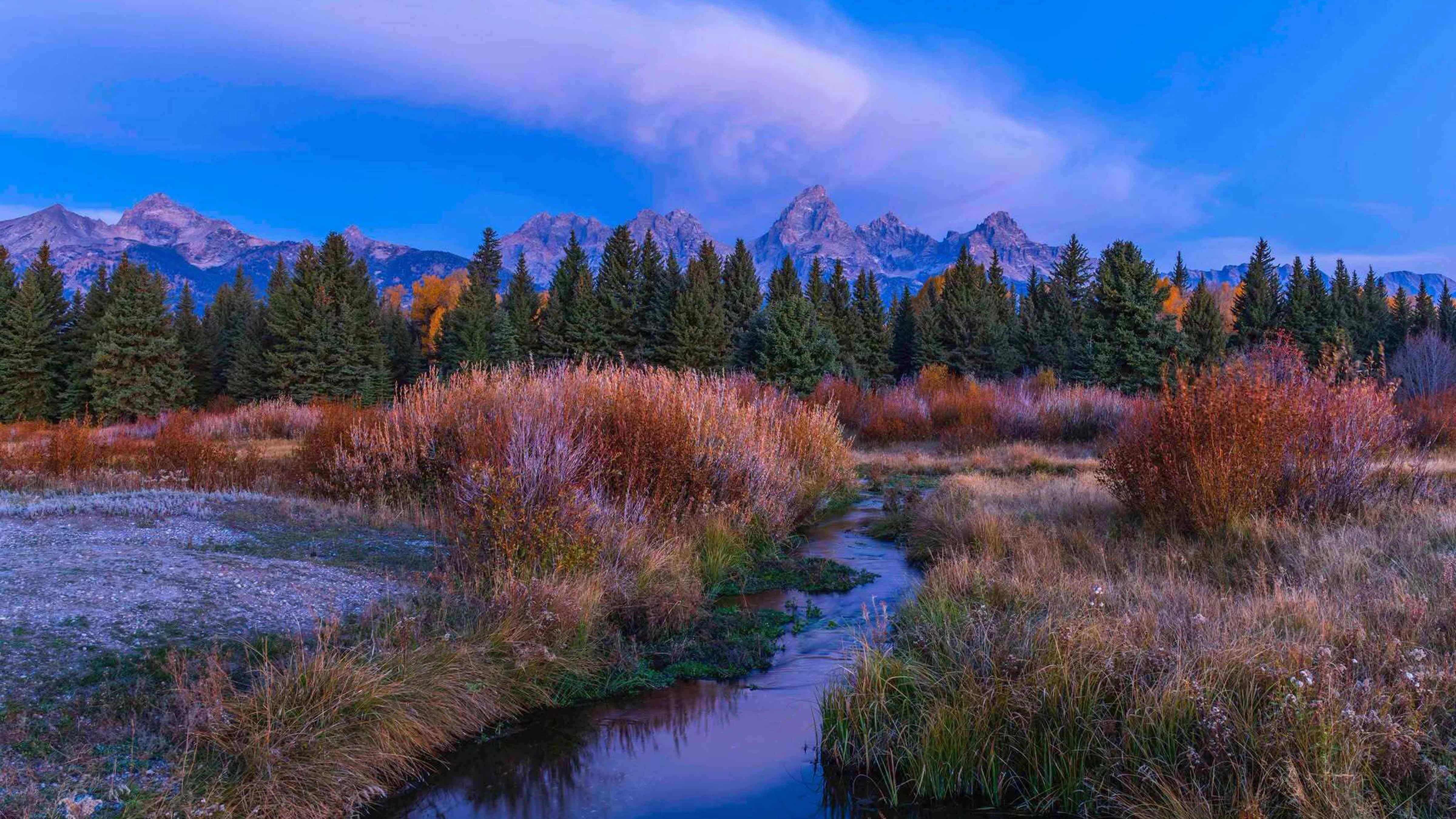
With colder temperatures creeping in and El Niño in full effect, Lowe and Natoli believe Wyoming has fully entered fall.
“We’re getting fall-like temperatures, systems starting to come down from the Arctic, and snowfall in the mountains,” Lowe said. “It’s looking more like fall, for sure, and that’s going to continue.
For many Wyomingites, it feels like there isn’t much of a fall season. The transition from sunshine and sweltering temperatures to bone-chilling cold can be extremely abrupt.
Natoli suggested there might be an actual period where it feels like fall. Temperatures are lower and snow is falling, but it hasn’t gotten cold enough for widespread snow, and that seems unlikely to change anytime soon.
“There's really no sign of any consistent cold coming up in the near or long-term forecast,” he said. “I would expect more of these warm periods in between storms, which is pretty typical of El Niño.”
The long-range forecast for the 2026-2027 winter season is dominated by El Niño's impacts. Historically, that has favored southern Wyoming over northern Wyoming in snowpack and persistent cold.
That trend should hold, according to Natoli, but that’s looking too far ahead even for the most confident meteorologists. For now, it’s best to make the most on what we have.
“The general trend should be gradual improvements, with a chance of some rain or snow at least once a week, over the next several weeks to months,” Natoli said. “October will probably be warmer than average, but warm and wet is better than warm and dry.”
Andrew Rossi can be reached at arossi@cowboystatedaily.com.