
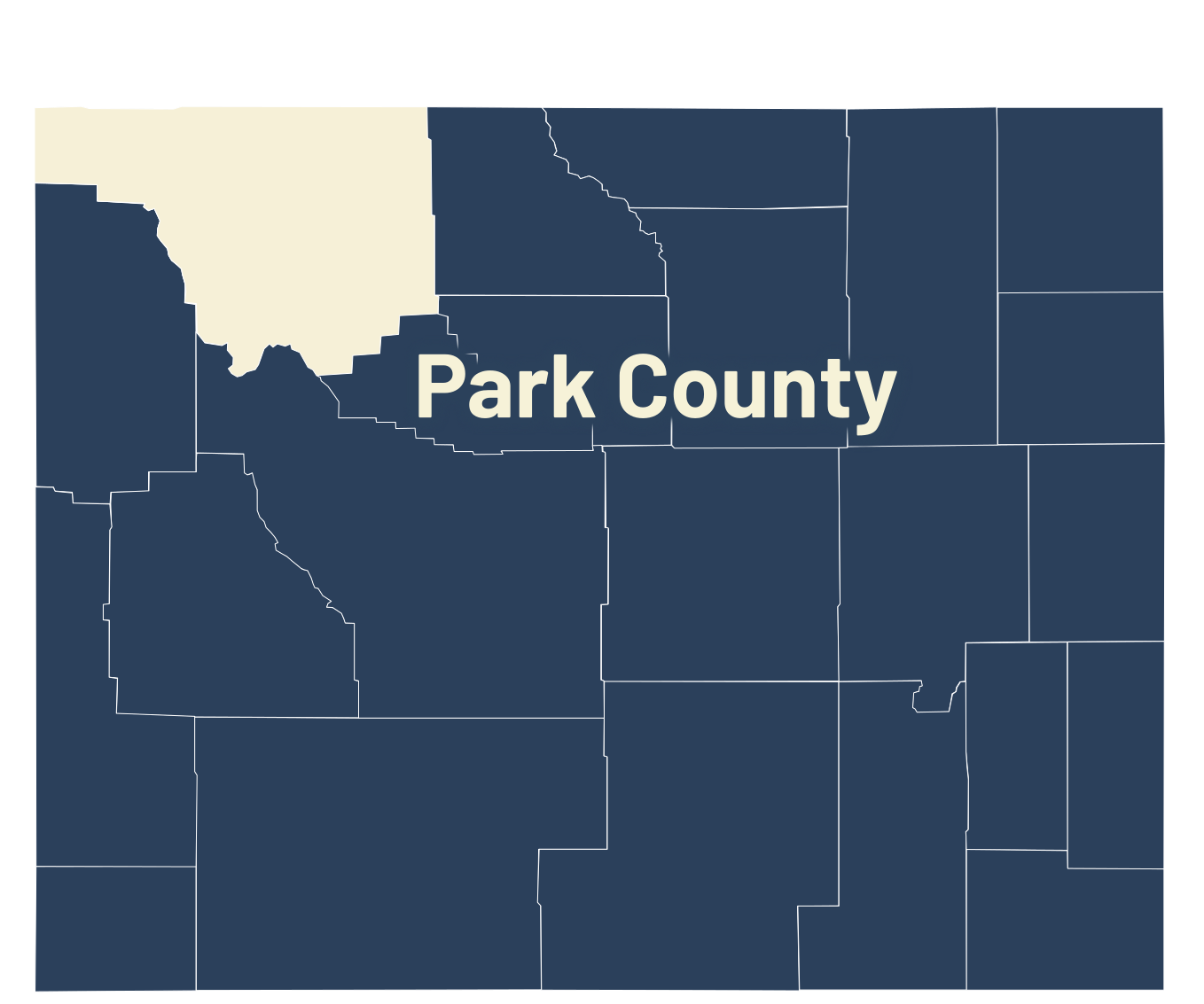
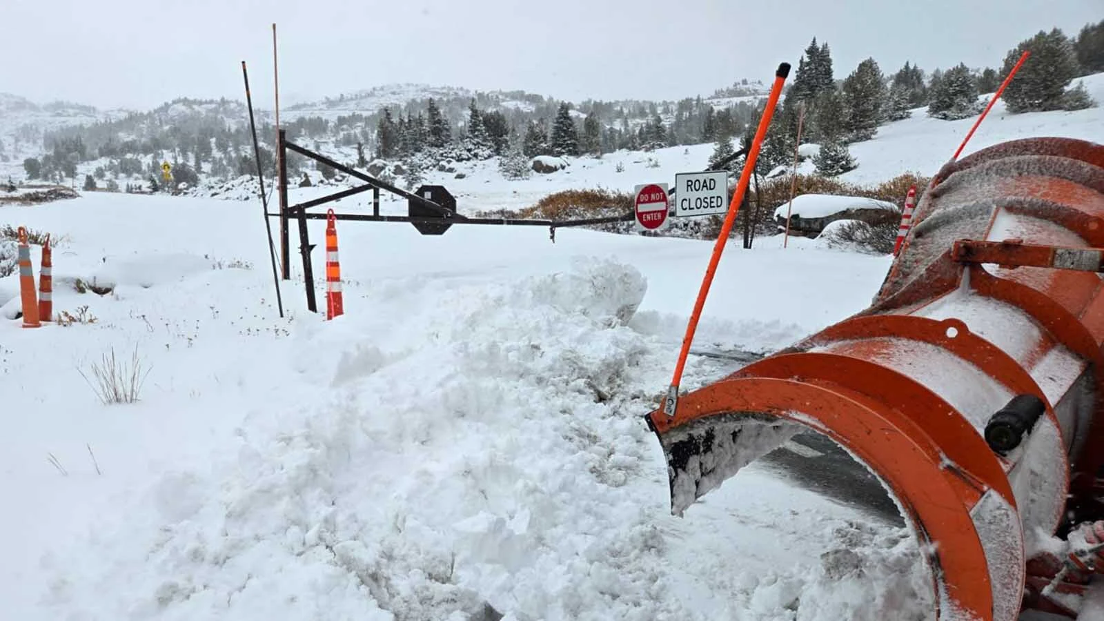
The Beartooth Highway will close at 2:30 p.m. Friday, five days early, ahead of a significant snowstorm expected to reach northwest Wyoming.
The National Weather Service anticipates the first precipitation will arrive Saturday afternoon, with rain transitioning to snow overnight as temperatures drop below 30 degrees.
Then, from Sunday through Tuesday, it’ll either be raining or snowing across the mountain pass.
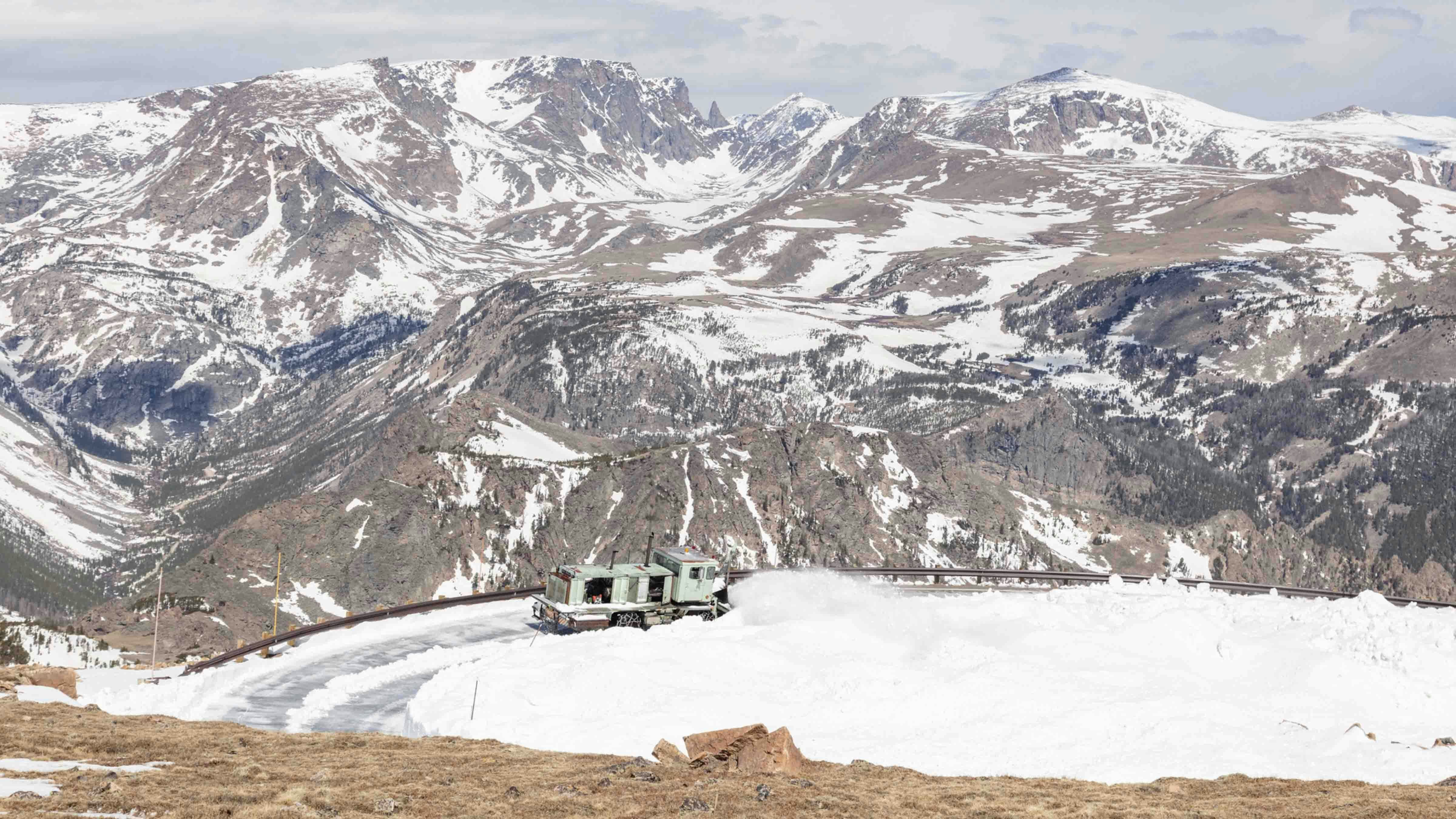
That was enough for the Montana Department of Transportation and the National Park Service, the agencies responsible for plowing the Beartooth Highway, to end the season a few days early.
The intended last day was Oct. 13, but the intensity of the incoming weather prompted them to end the season entirely, rather than try to keep U.S. 212 open for another day or two once the system passes.
Cowboy State Daily meteorologist Don Day didn't miss the symbolism. Winter always hits the Beartooth Highway first, but this looks like a surefire sign a seasonal shift is heading for Wyoming.
“If you haven't blown out your sprinklers yet, this is the time to do it,” he said. “This would be the start of the fall changeover we’ve been anticipating.”
Trend Is Your Friend
While analyzing the forecast, Day used one of his favorite phrases: Trend is your friend.
“The trend really begins to change this weekend,” he said. “It’ll start in the Northern Rockies, but by next week it will impact all of Wyoming.”
Day said specifics of the upcoming weather, like overnight lows and precipitation totals, are still “really murky” this far out. The trend, however, strongly indicates a significant drop in temperature, which increases the chances of precipitation.
“The mountains in northern Wyoming and southern Montana have a real chance of snow and much colder temperatures this weekend,” he said. “Getting into specifics beyond that is really difficult, but all our models are pointing to colder and wetter.”
The signs in the forecast are a series of busy patterns that tend to bring favorable fall weather to Wyoming. Day’s hesitation with specifics comes from the seasonal chaos expected from early to mid-October.
“We get this big divergence in model solutions past that five-day period, but that is not unusual or unexpected at this time of year,” he said. “To have the expectation that the models are going to be in agreement a week and a half from now is just not realistic.”
However, there is one “no-brainer” to which Day would commit.
“The entire state is going to be trending a lot colder,” he said. “The second half of October, or at least this middle part, is going to be remarkably different from what we’ve seen so far.”
The Hammer (And Temperature) Falls
The first half of October has been warm across Wyoming, with daytime highs in the high 70s to low 80s this week.
According to Day, summer in October will be over by this weekend.
“By this time next week, we'll likely have had a freeze,” he said. “We'll have an opportunity to see temperatures go well below freezing overnight. That's especially true in the north and the west, but it should get into the rest of the state.”
This is the moment when “the hammer comes down” in terms of seasonal weather. It’s not uncommon to get summer-like temperatures in early October, but the incoming winter weather system will end all that, Day said.
Day said this weekend’s system appears to be “a pretty busy pattern” that’ll linger over northwest Wyoming for several days. The systems forming behind it, which will reach Wyoming next week, are looking just as busy.
“This is a pattern change that will likely lead to the second half of October not being nearly as warm as the first,” he said. “Reverting back to a week of warm, dry days like we're seeing now isn't likely after this weekend.”
These systems will be bolstered by the ongoing seasonal changes. Each day gets shorter while nights get longer, giving cooler temperatures more time to settle in.
This is what’s needed to increase the chances of precipitation, he said.
“You're not going to get a warm October precipitation pattern in Wyoming,” Day said. “Starting this weekend, the door will open to opportunities from storms coming off the Pacific Northwest and western Canada. These are the types of storms that get us into that fall season.”
The First Salvo
According to the National Weather Service, Cheyenne's daytime high will be 80 degrees on Friday. By Monday, it’ll be 62.
Gillette will have a daytime high of 84 degrees Friday. It’ll drop to 48 degrees by Monday, with overnight temperatures near freezing.
Day called the incoming weekend winter weather system “the first salvo” of a significant seasonal shift in the Rocky Mountain Region, and Wyomingites should take note.
“The folks at the Montana Department of Transportation see what we're seeing, which is why they moved up the closing,” he said. “I said the likelihood of a significant snowfall on the Beartooth Plateau before the middle of October was pretty high in late September. Now, we all look like geniuses.”
Once again, Day didn’t want to set “unrealistic expectations” about what could happen over the next week.
“Colder, wetter weather is coming,” he said. “The trends are strong. The question marks for Wyoming are when, how much, and how cold.”
Andrew Rossi can be reached at arossi@cowboystatedaily.com.


