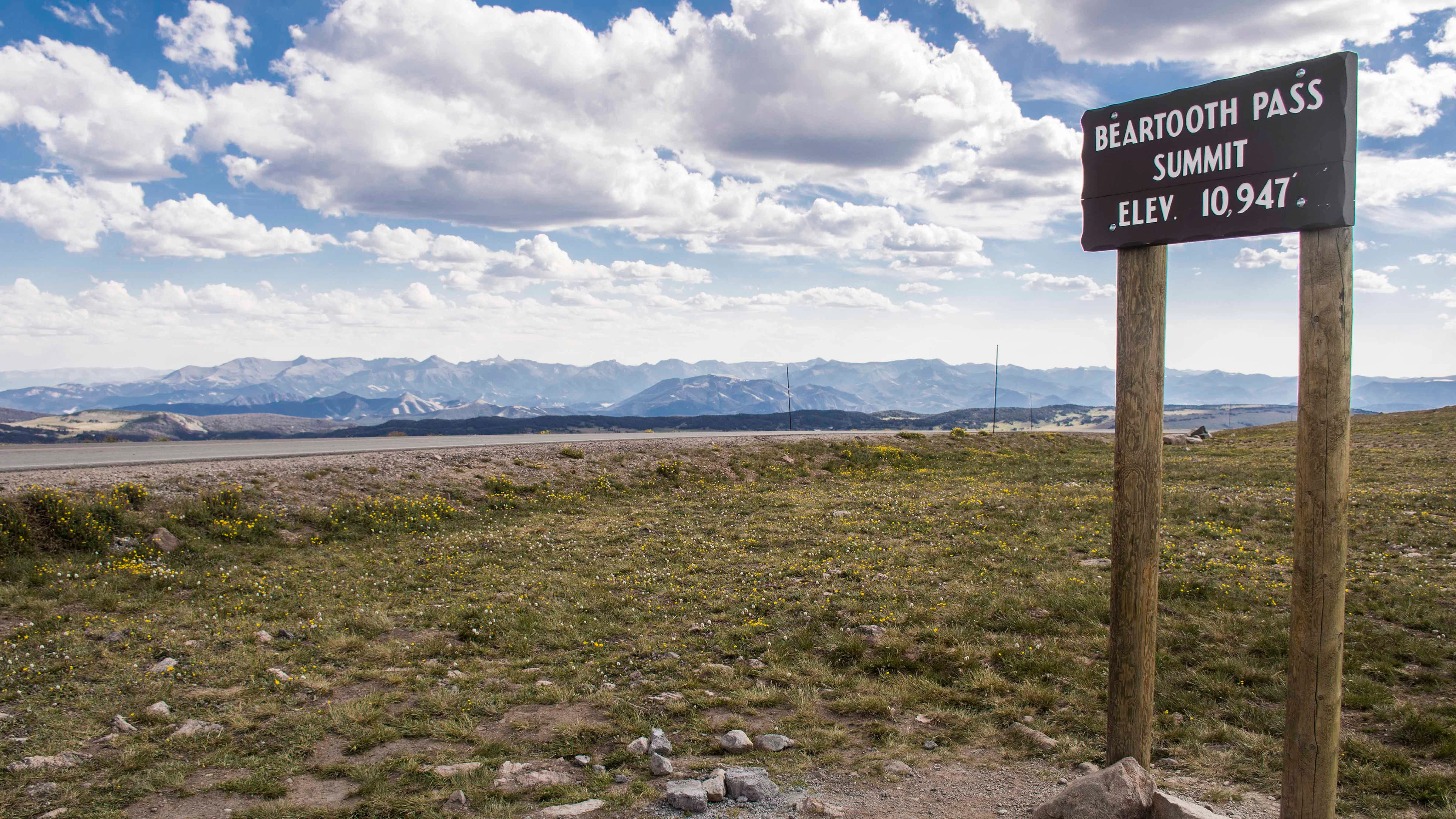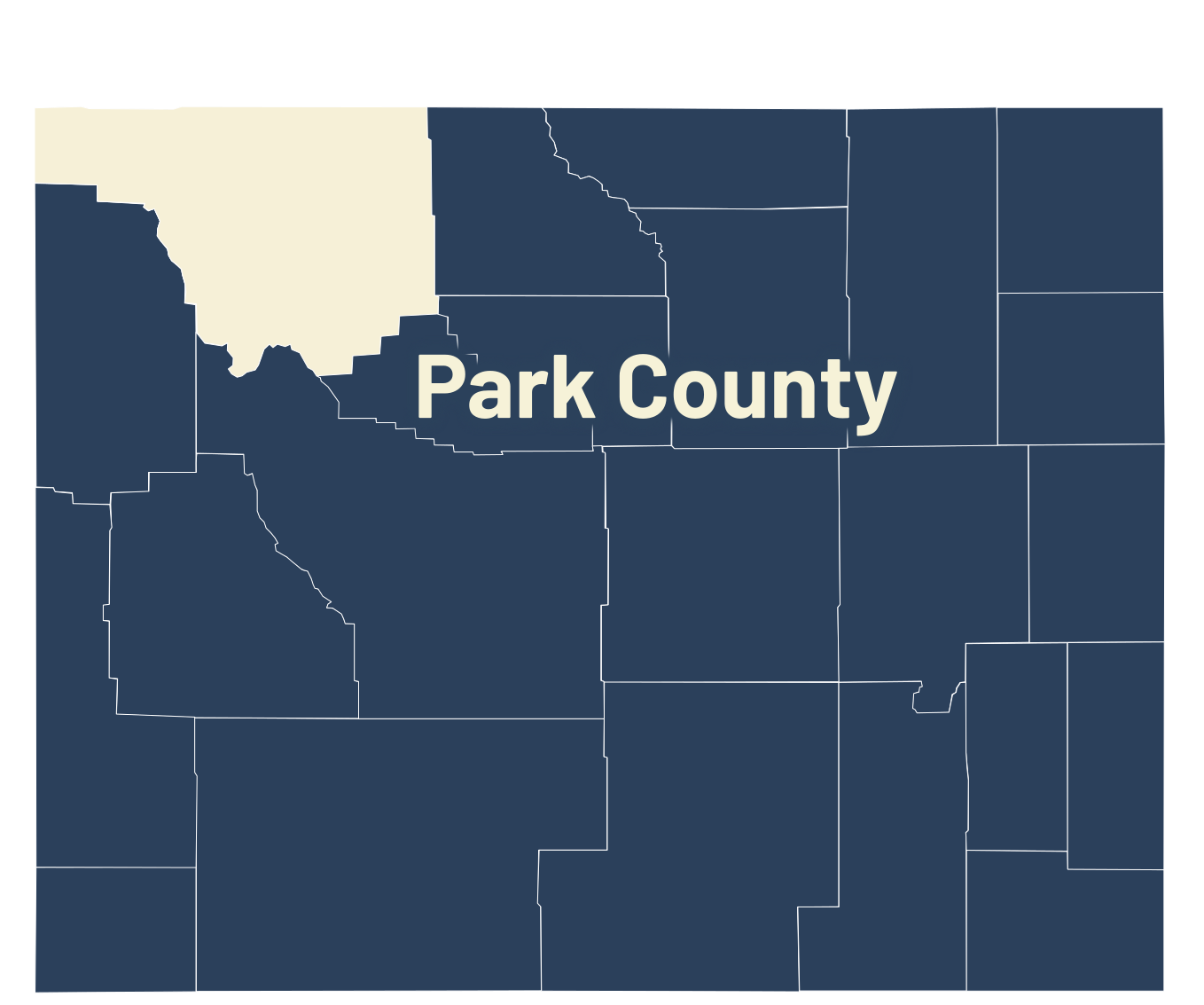
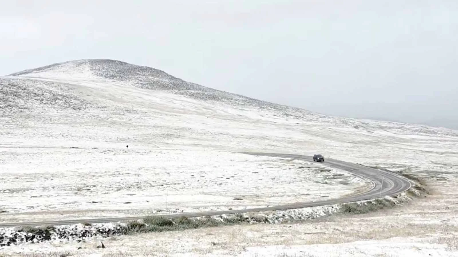
After one of the warmest summers in Wyoming’s recorded history, a significant seasonal shift appeared on the Beartooth Highway: The first snow of the season.
The highest points of the mountain pass were covered with a light dusting on Sunday morning. It didn’t stick around long, but it was a clear sign that it’s gotten cold and wet enough for snow to fall at the end of August.
The long, hot summer is almost over, and so might be an unprecedented stretch of unseasonable climate in the western U.S.
“Tomorrow, September 1, is the first day of meteorological fall,” said Cowboy State Daily meteorologist Don Day. “Now that we’re getting longer nights and shorter days, we’re starting to see little, impactful hints of fall.”
Almost Recognizable
The Beartooth Highway is usually the first spot to see snow in the late summer and early fall. That makes sense, given that it’s over 11,000 feet at its highest point.
“Historically, there’s usually snow on the Beartooths during the last weekend of August,” Day said. “It’s happened a thousand times.”
The last snowfall over the Beartooths was June 29, enough to temporarily close the highway. If there's ever a chance it'll snow in July, the most likely spot in Wyoming is the Beartooth Highway.
Nevertheless, it’s a noteworthy event that correlates with developments elsewhere. Day noted that it was 31 degrees in Jackson on Monday morning.
“August was the first month that acted somewhat normal since September of last year, he said. “The last four weeks were a little more recognizable.”
The last year has been almost unprecedented in Wyoming’s recorded history. A staggeringly warm, dry fall in 2025 was followed by one of the warmest, driest winters in the Rocky Mountain Region.
This summer, all-time heat records were set in many Wyoming communities, with some records dating to the late 1800s.
August was more of a return to normal. According to Day, the month was more in line with what Wyoming should expect.
“It hasn't been as ungodly hot, we've had thunderstorms, and here we are seeing a little hint of fall in the last days of the month,” he said. “It was really October 2025 through July 2026 when it seemed like the weather world was upside down around here.”
Normal Variety
After a relatively normal August, Day is seeing similar signs going into September. He categorized the outlook for the upcoming month as having “variety.”
“We're still going to have some warm, summer-like days, but we do see the frequency of cold fronts increasing,” he said.
The weekend snow on the Beartooth Highway was caused by a frontal system that swept up and over the mountains from the Pacific Northwest. Day said there will be more of those fronts, with their cooler, wetter impacts, throughout September.
“We have another frontal system coming in at the end of Labor Day weekend,” he said. “We’ll be cooling off again, especially on Labor Day Monday. Then, there appears to be another frontal system around the 11th and 12th. That’s definitely an early fall pattern.”
The causes are twofold, primarily. Not only is cooler, wetter weather moving into Wyoming, but the calendar is changing.
Now that summer’s over, the days are getting shorter and the nights longer. That does a lot to cool the climate, making overnight snow and lows in the 30s more common.
“The number of minutes per day we're losing is starting to add up, especially at the higher latitudes,” Day said. “When you do get these frontal systems moving in, the longer nights really make a difference.”
Day also noted that the fall-like weather is somewhat ahead of schedule this year.
“There have been several falls in a row where we weren't getting a lot of fall-like weather until late,” he said. “This fall is showing signs of a little bit more of a typical fall pattern, with the warm weather being interrupted by some pretty strong cold fronts pretty early in the season.”
Before the end of September, Day believes the signs of the seasonal shift could extend beyond the summit of the Beartooth Highway.
“I think there's an opportunity that we could have some snow across parts of the lower elevations in the month of September,” he said. “I’m not seeing a widespread freeze or anything like that, but we’re seeing the potential for snow, at least.”
Looking Ahead
Day is still working on his long-range forecast for the 2026-2027 winter season, which he anticipates will be ready by mid-September. After the abject failure of many long-range forecasts last season, Day’s taking every precaution this season.
“The problem with doing long-range weather forecasts is that weather is so dynamic,” he said. “If you make a graphic that's good for three or four months, and subtle things change, then you have to throw it out the window. That’s why we have to be careful.”
The “biggest player” this winter, Day said, will be the much-anticipated “Super” El Niño. Weather patterns and water temperatures in the Pacific Ocean, which have been monitored for several months, are indicating one of the most intense El Niño events in years.
“We're definitely going to have this very strong El Niño,” Day said. “It's going to be the dominant factor this winter, but it's not the only one.”
Overall, all forecasts are subject to change. After being “thoroughly burned” last year, Day wants to have the utmost confidence in his own forecast before sharing it with Wyomingites, and no amount of August snow on the Beartooths is going to change that.
“A lot of things that are going to drive this winter, in addition to El Niño, aren't going to really start showing themselves until we get deeper into fall,” he said. “I am not going to go there yet. I’m not setting expectations. We need to be patient.”
Andrew Rossi can be reached at arossi@cowboystatedaily.com.