
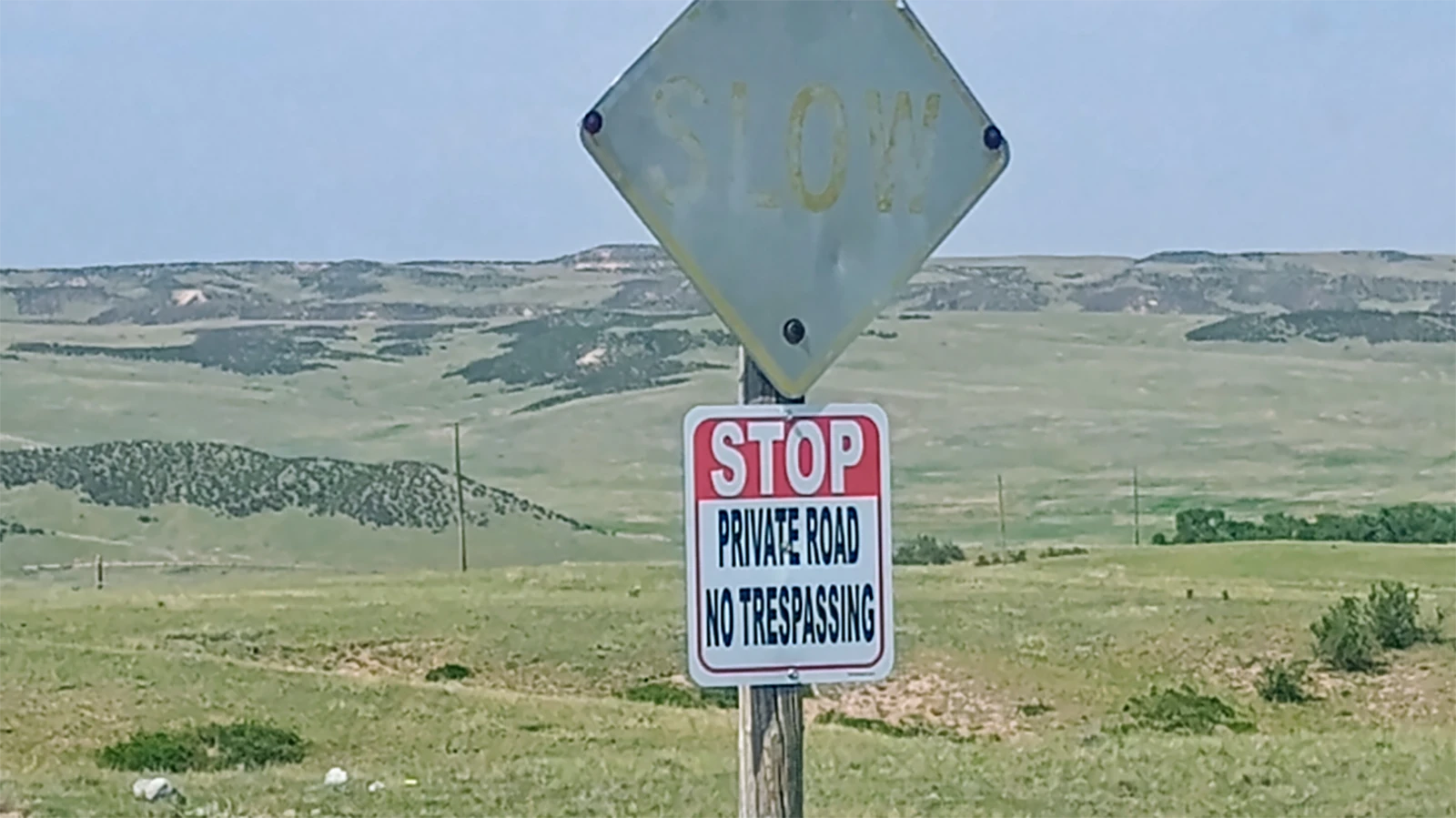
A Wyoming hunter is on a mission to untangle confusion over public and private land boundaries after repeatedly encountering "Private Property" and "No Trespassing" signs where the public should legally be allowed to travel or recreate.
Cheyenne resident Jon Farris says the issue isn't about advocating for hunters to ignore private property rights. It's about making sure public lands remain accessible when they legally should be.
"I want other people to be able to enjoy public lands the same way I do," Farris told Cowboy State Daily.
To help, Farris has created an email address where hunters, anglers and other outdoors enthusiasts can report locations they believe may be incorrectly marked as private.
He hopes to research each case using county records, state maps and conversations with local officials before forwarding legitimate concerns to the appropriate agencies.
"If we can streamline that process, maybe we can get some of these corrected," he said.
Signs That Sparked Questions
Farris said his interest in the issue began in 2024 while traveling in Carbon County.
A county road led toward national forest land, but along the route he encountered a sign declaring the road was crossed and private property.
"That was really what got me started in wondering how often this type of thing occurs," he said.
Since then, he said he has noticed similar situations in Carbon, Goshen and Laramie counties.
One example, he said, involved state land in Laramie County that was eventually reposted as public after previously being marked private.
"Sometimes they won't be marked right," Farris said.
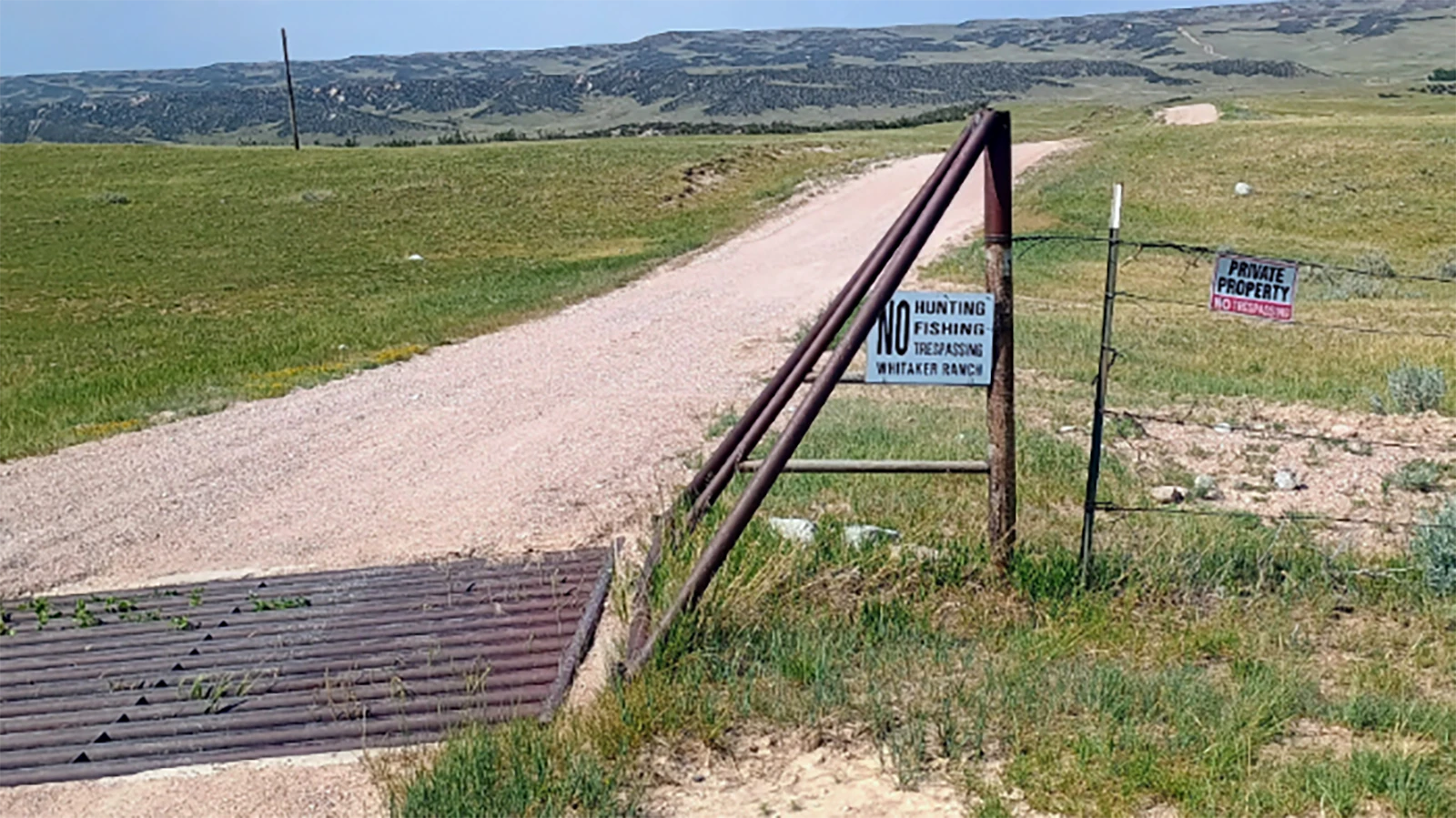
He said he also believes about 160 acres of state trust land within the historic Whitaker Ranch in Laramie County is marked in a way that could confuse visitors into believing it is entirely private.
Public Land Doesn't Always Mean Public Access
Even when land is publicly owned, that doesn't necessarily mean the public can legally reach it.
That's one point emphasized by Rob Weppner of the Whitaker Ranch, where nearly 40,000 acres of ranchland include parcels of state trust land.
Weppner acknowledged there are "No Trespassing" and "No Hunting" signs throughout portions of the property.
"The disconnect that I see in our area — I talk to a lot of hunters — is that in various places there's state land," he said. "But to have state land (for hunting), you need to have public access to it."
Many state trust parcels are effectively landlocked, surrounded by private property that cannot legally be crossed without permission.
"Knowing which roads in this county are actually public is really challenging," Weppner said. "It's very difficult to know what's what, which roads actually have legal access and which roads don't."
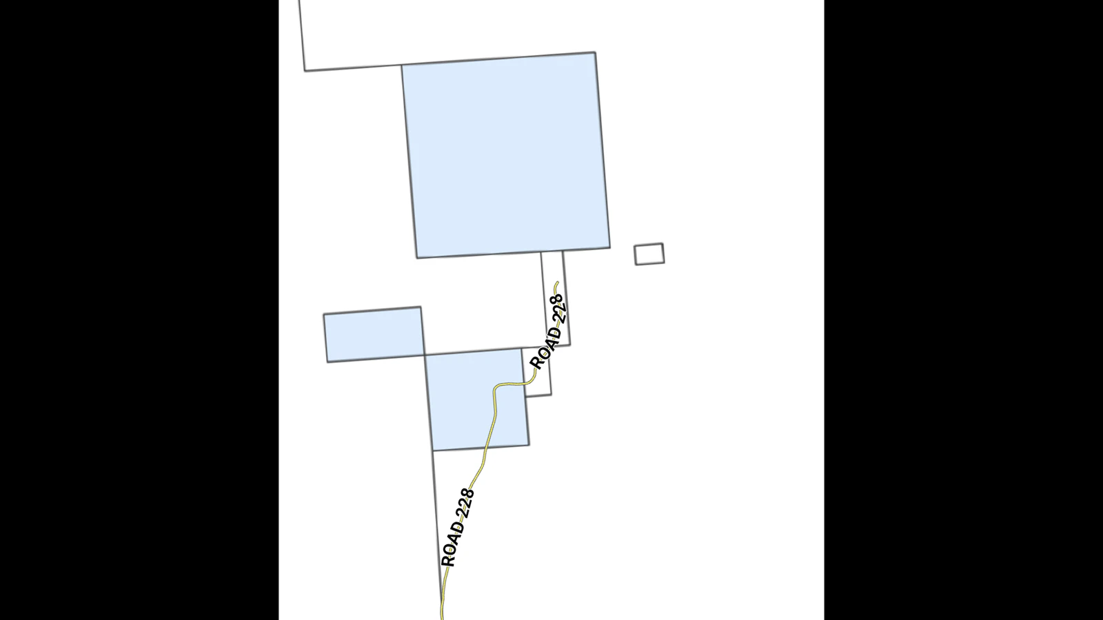
He said while a county road passes through part of his ranch, portions beyond that become private property, making the transition difficult for visitors to identify.
Do Your Homework
Farris said he never encourages people to ignore posted signs or assume property is public. Instead, he urges hunters to verify land ownership before setting foot on questionable ground.
"Don't take 'No Trespassing' signs at face value," he said. "Go home and do your research."
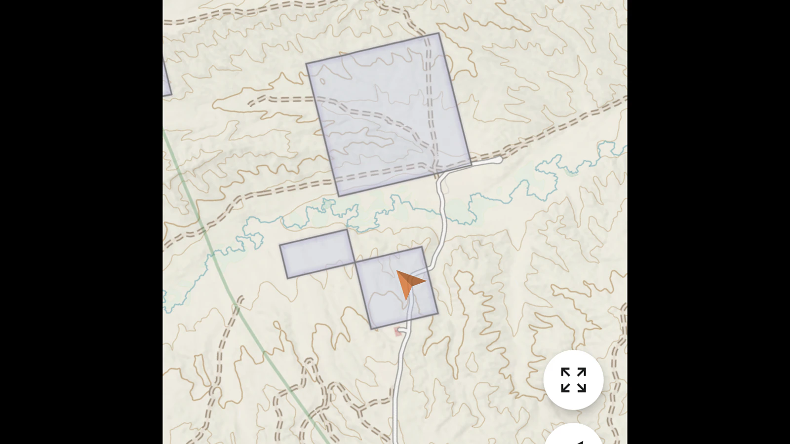
His first stop is typically OnX, the popular digital mapping platform widely used by hunters and outdoor recreationists.
Farris photographs signs he encounters in the field, then compares their locations with OnX mapping and the Wyoming Office of State Lands and Investments' GIS maps.
Because no mapping system is perfect, he said he compares multiple sources before drawing any conclusions.
To that end, OnX’s accuracy has been known to be off by a few yards, which is enough to potentially get users in trouble and charged with trespassing.
"It is important to check and get a clear answer from the state office before assuming it's public," he said.
Honest Mistakes Happen
Melissa DeFratis, spokeswoman for the Wyoming Office of State Lands and Investments (OSLI), said the agency regularly fields questions about land ownership and public access, particularly before and during hunting season.
The office serves as the administrative arm of the Wyoming Board of Land Commissioners, which oversees roughly 3.4 million acres of state trust land.
While DeFratis said it is not common for landowners to intentionally mark public land as private, she acknowledged it does happen.
She added that more often, misplaced signs are the result of honest mistakes, outdated information or confusion over property boundaries.
When questions arise, OSLI occasionally sends field staff to investigate and work with landowners to correct misplaced signs.
A Complicated Landscape
Boundary confusion isn't always the result of inaccurate maps.
Farris recalled one game warden telling him about a Goshen County landowner whose understanding of his property lines had been passed down through generations, based largely on where a relative decades earlier believed the boundary should be.
He also said he once was offered access to public land across private property — for a fee — which he declined.
Those experiences reinforced the need for better public understanding of Wyoming's complicated patchwork of federal, state and private lands, he said.
Rather than confronting landowners directly, Farris said he hopes his volunteer effort will encourage people to document questionable situations, verify the facts and work through the proper channels.
"I've seen this all over," he said. "If we can get the right information to the right people, hopefully we can clear up some of the confusion."
Kate Meadows can be reached at kate@cowboystatedaily.com.


