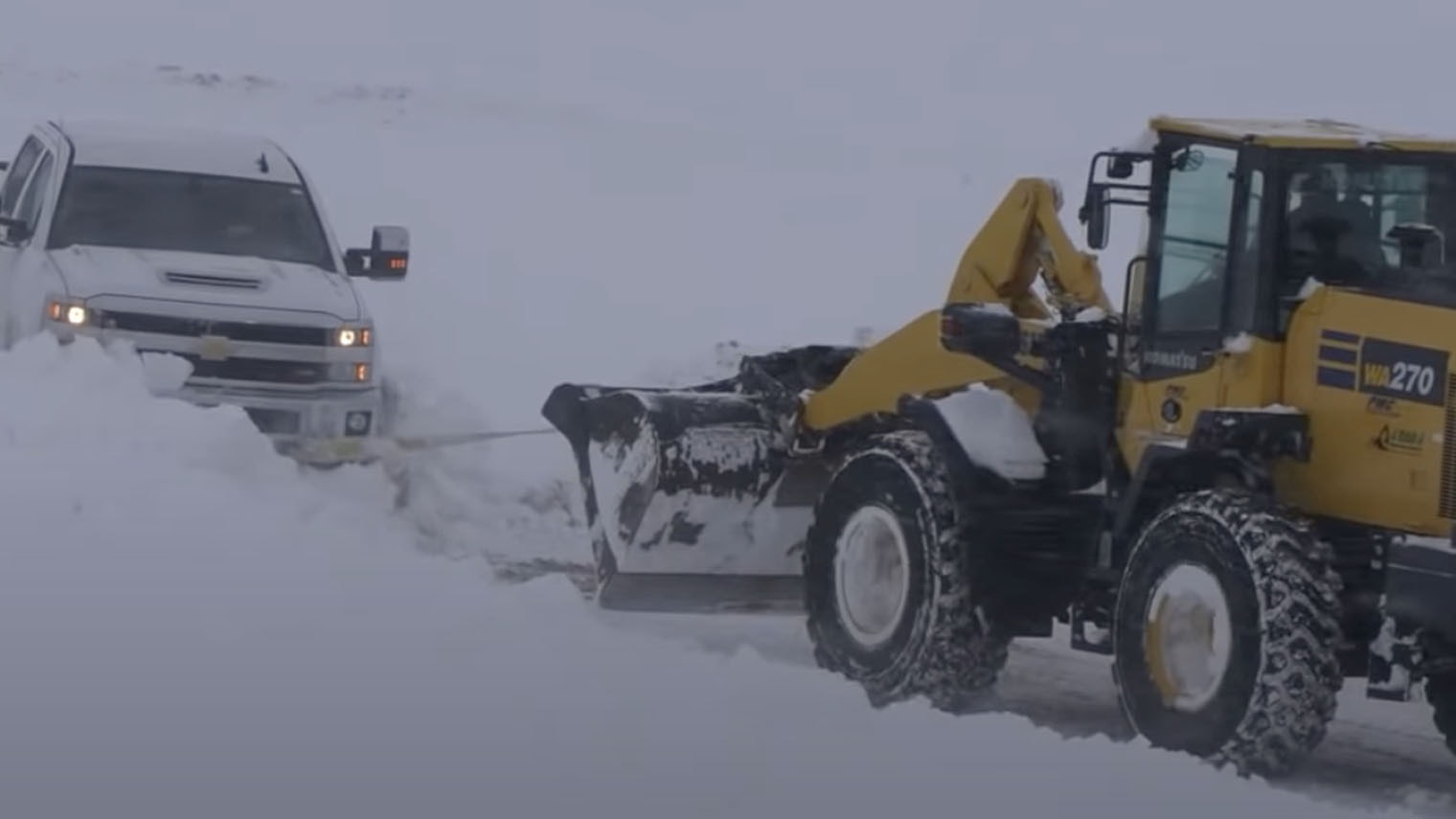
The Casper area is at risk for potential flooding due to the high amount of snow that blanketed central Wyoming over the weekend.
According to the National Weather Service in Riverton, Casper has seen 26.3 inches of snow since Saturday. This amounts to around 2.14 inches of water from the snow.
With temperatures expected to be in the upper 30s to mid-40s this week in the Casper area, there is a possibility of low-elevation snowmelt flooding.
“If you live in a low-lying area that is prone to flooding or standing water, take extra precautions,” the NWS wrote on its Facebook page late Sunday.
The ground in many areas is still frozen, which can cause low-lying areas to fill with water quickly.
According to the United States Geological Survey, rapid snowmelt can also trigger landslides and debris flows. In combination with specific weather conditions, such as excessive rainfall on melting snow, it may even be a major cause of floods.
Last week, the NWS also warned of a possibility of ice jam flooding coming as a result of rising temperatures.
An ice jam develops when pieces of floating ice accumulate to obstruct the river flow. The water that’s held back behind the temporary dam could potentially cause flooding or flash flooding upstream.
Ice jams in Wyoming are most common from mid-February through early April and are seen in most rivers, but especially in the Green, Wind and Big Horn River Basins.


