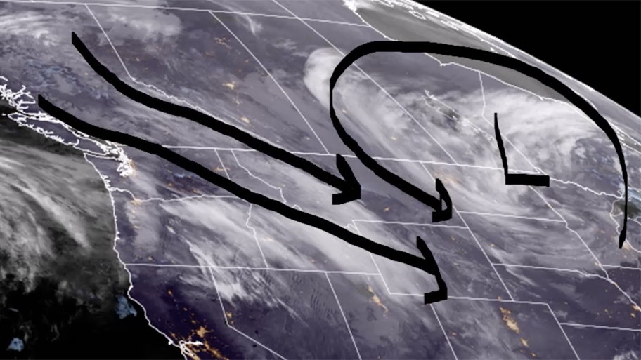
It’s Friday, April 21 – and winter weather is back with a vengeance. Western Wyoming could see significant snowfall, with up to 5 inches possible in places like Star Valley and Alpine. Breezy northwest winds continue today, with snow showers developing across southeast Wyoming.
Central:
Scattered showers this afternoon in Riverton, otherwise partly sunny, with a high near 50. There’s a slight chance of rain and snow showers this afternoon in Casper, otherwise partly sunny and breezy, with a high near 45 and winds gusting as high as 25 mph. There’s a slight chance of rain and snow showers this afternoon in Jeffrey City, otherwise partly sunny and breezy, with a high near 41 and wind gusts as high as 30 mph.
Riverton can expect scattered rain and snow showers tonight (less than a half inch possible), with a low around 27. Casper can expect scattered rain and snow showers overnight, with a low around 27; breezy, with winds gusting as high as 21 mph. Scattered rain and snow showers overnight in Jeffrey City (less than one inch possible), with a low around 23.
Southwest:
Snow showers are likely this afternoon in Evanston (less than one inch possible), with a high near 34 and wind chill values as low as 8; breezy, with wind gusts as high as 33 mph. Green River could see less than a half inch of new snow today, mixing with rain this afternoon before gradually ending; mostly cloudy and windy, with a high near 42 and gusts as high as 40 mph. There’s a 40 percent chance of snow showers today in Lyman (less than a half inch expected), with a high near 40 and wind chill values as low as 7; windy, with gusts as high as 41 mph.
There’s a 20 percent chance of snow showers tonight in Evanston, with a low around 22. Mostly cloudy and windy overnight in Green River, with a low around 25 and gusts as high as 38 mph. Mostly cloudy and windy in Lyman tonight, with a low around 24 and gusts as high as 38 mph.
Western Wyoming:
Around an inch of new snow could fall this morning in Pinedale, otherwise mostly cloudy, with a high near 33. 3 to 5 inches of snow is possible today in Star Valley and in Alpine, with a high near 35.
Scattered snow showers are expected tonight in Pinedale, with a low around 12. Star Valley can expect less than an inch of new snow overnight, with a low around 19. Less than one inch of new snow is expected overnight in Alpine, with a low around 20.
Northwest:
Jackson could see 1 to 3 inches of new snow today, with a high near 36; breezy, with wind gusts as high as 20 mph. Less than half an inch of snow is expected today in Dubois, otherwise partly sunny and breezy, with a high near 40 and wind gusts as high as 34 mph. 1 to 2 inches of snow could fall in Yellowstone National Park today, with a high near 37.
Scattered snow showers are expected overnight in Jackson, with a low around 20. Dubois can expect less than half an inch of snow overnight, with a low around 22; breezy, with wind gusts as high as 32 mph. Less than half an inch of new snow is expected in Yellowstone tonight, with a low around 21.
Bighorn Basin:
Scattered showers are expected in Thermopolis this afternoon, otherwise partly sunny, with a high near 48. There’s a 30% chance of scattered rain and snow showers today in Powell, with a high near 46. Cody could see less than an inch of new snow today, with a high near 41.
Scattered rain and snow showers overnight in Thermopolis (less than half an inch of new snow possible), with a low around 29. Scattered rain and snow showers are expected in Powell overnight, with a low around 25; breezy, with gusts as high as 21 mph. Less than half an inch of new snow is possible tonight in Cody, with a low around 25.
North Central:
Partly sunny today in Sheridan, with a high near 41. Buffalo could see some isolated snow showers this afternoon, otherwise partly sunny and breezy, with a high near 38 and wind gusts as high as 23 mph. Partly sunny in Ranchester today, with a high near 38.
Mostly cloudy overnight in Sheridan and in Ranchester, with lows around 18. Buffalo can expect some isolated snow showers tonight, with a low around 24; blustery, with wind gusts as high as 24 mph.
Northeast:
Scattered snow showers this morning in Sundance, otherwise cloudy, with a high near 32 and wind chill values as low as 4; breezy, with gusts as high as 29 mph. Mostly cloudy and breezy today in Gillette, with a high near 40 and wind chill values as low as 10, with gusts as high as 28 mph. Mostly cloudy and breezy in Moorcroft today, with a high near 39 and wind chill values as low as 7, with wind gusts as high as 29 mph.
Mostly cloudy and breezy overnight in Sundance, with a low around 18 and wind chill values as low as 8, with wind gusts as high as 21 mph. Mostly cloudy and blustery in Gillette tonight, with a low around 22 and wind chill values as low as 15, with winds gusting as high as 29 mph. Mostly cloudy overnight in Moorcroft, with a low around 21 and wind chill values as low as 12; breezy, with wind gusts as high as 25 mph.
Eastern Plains:
Partly sunny and windy today in Torrington, with a high near 49 and gusts as high as 40 mph. Partly sunny and breezy in Lusk today, with a high near 42 and wind gusts as high as 35 mph. Partly sunny today in Wright, with a high near 41 and wind chill values as low as 7; breezy, with wind gusts as high as 30 mph.
Mostly cloudy and blustery in Torrington overnight, with a low around 23 and wind gusts as high as 30 mph. Mostly cloudy and blustery tonight in Lusk, with a low around 20 and winds gusting as high as 30 mph. Mostly cloudy in Wright overnight, with a low around 21 and wind chill values as low as 11; blustery, with wind gusts as high as 29 mph.
Southeast:
There’s a 40 percent chance of snow showers this afternoon in Cheyenne, otherwise partly sunny and windy, with a high near 44 and gusts as high as 40 mph. Laramie has a 50 percent chance of snow showers today, with a high near 40; windy, with gusts as high as 40 mph. There’s a 30 percent chance of snow showers in Chugwater this afternoon, otherwise partly sunny, with a high near 44; windy, with gusts as high as 40 mph.
Cheyenne has a 50 percent chance of snow showers overnight, with a low around 21; blustery, with wind gusts as high as 30 mph. Laramie could see 1 to 2 inches of new snow tonight, with a low around 20; blustery, with wind gusts as high as 35 mph. There’s a 30 percent chance of snow showers overnight in Chugwater, with a low around 21; winds 15 to 20 mph decreasing after midnight.
South Central:
1 to 2 inches of snow could fall this afternoon in Encampment, with wind gusts as high as 30 mph creating patchy blowing snow conditions in the morning, and a high near 35. There’s a 50 percent chance of snow showers today in Rawlins, with 35 mph gusts causing patchy blowing snow mid-day, and a high near 38. Hanna has a 50 percent chance of snow showers today, with patchy blowing snow conditions in the late afternoon, and a high near 35; windy, with gusts as high as 40 mph.
Encampment could see less than one inch of new snow tonight, with some thunder also possible, and a low around 23; breezy, with wind gusts as high as 30 mph. There’s a 50 percent chance of snow showers tonight in Rawlins, with some thunder also possible, and a low around 24; breezy, with winds gusting as high as 30 mph. Hanna has a 50 percent chance of snow showers with some thunder possible, and a low around 21; 15 to 20 mph winds decreasing after midnight.


