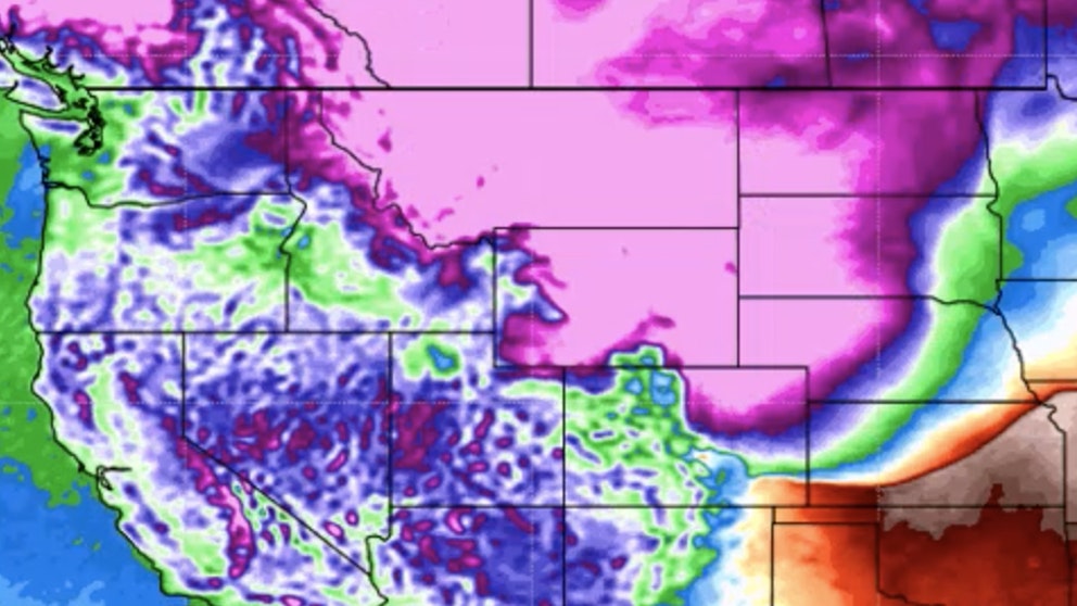
It’s Sunday, February 19th – chilly temperatures in most of Wyoming today and a strong cold front will be passing through Wyoming beginning late Monday and Tuesday. That will mean harsh winter conditions developing in the coming days. Snow and arctic air on the way with bitter cold temperatures and snow. Watch Don Day’s video (above) for information on this cold front. The following textual forecast is for Sunday.
Central:
Riverton can expect patchy blowing snow late this morning under mostly cloudy skies, which will gradually become sunny, with a high near 29 and wind chill values as low as -10; winds could gust as high as 30 mph. There’s a 30 percent chance of snow in Casper this morning, then gradually clearing, with a high near 33; windy, with gusts as high as 38 mph. Partly sunny with patchy blowing snow today in Jeffrey City, then gradually becoming sunny, with a high near 24 and wind chill values as low as zero; windy, with gusts as high as 47 mph.
Overnight, Riverton will be mostly cloudy, with a low around 9 and wind chill values as low as zero. Mostly cloudy tonight in Casper, with a low around 30; very windy, with gusts as high as 55 mph. Jeffrey City can expect widespread blowing snow tonight under partly cloudy skies, with a low around 18 and wind chill values as low as zero; very windy, though, with gusts as high as 70 mph.
Southwest:
A slight chance of snow this morning in Evanston, then gradually becoming mostly sunny, with a high near 26 and wind chill values as low as 8. Patchy blowing snow is expected this morning in Green River under mostly cloudy skies, then gradually becoming sunny, with a high near 30; blustery, with gusts as high as 34 mph. Travelers over South Pass can expect patchy blowing snow after 9am and increasing clouds, with a high near 20 and wind chill values as low as -5; very windy, with gusts as high as 55 mph.
Partly cloudy overnight in Evanston, with a low around 16 and wind chill values as low as 1; windy, with gusts as high as 38 mph. Increasing clouds tonight in Green River, with patchy blowing snow between 3am and 4am and a low around 15; winds could gust as high as 31 mph. Widespread blowing snow over South Pass tonight, with a steady temperature around 20 and wind chill values as low as -5; very windy, with gusts as high as 70 mph.
Western Wyoming:
Star Valley has a slight chance of snow this morning, with a high near 25; new snow accumulation of less than a half inch possible. Partly sunny in Pinedale today, with a high near 21 and wind chill values as low as -10; breezy, with gusts as high as 21 mph. Mostly sunny today in Big Piney, with a high near 21 and wind chill values as low as -20; breezy, with gusts as high as 28 mph.
Snow is likely overnight in Star Valley (around an inch possible), with a low around 18; breezy, with gusts as high as 21 mph. There’s a slight chance of snow overnight in Pinedale, with a steady temperature around 16; breezy, with gusts as high as 21 mph. Increasing clouds tonight in Big Piney, with a low around -5.
Northwest:
There’s a 20 percent chance of snow this afternoon in Dubois, otherwise mostly sunny, with a high near 33; windy, with gusts as high as 41 mph. Jackson has a 50 percent chance of snow this afternoon (less than half an inch accumulation), with a high near 23 and wind chill values as low as -5; breezy, with gusts as high as 24 mph. Snow is likely at Mammoth Hot Springs in Yellowstone National Park this afternoon (less than half an inch possible), with a high near 26; breezy, with gusts as high as 33 mph.
Dubois has a 30 percent chance of snow overnight, otherwise partly cloudy, with a steady temperature around 31; very windy, with gusts as high as 60 mph. Snow is likely in Jackson overnight (1-2 inches possible), with a low around 15; breezy, with gusts as high as 31 mph. 1-3 inches of snow is expected in Yellowstone overnight, with temperatures rising to around 30 ; breezy, with gusts as high as 33 mph.
Bighorn Basin:
HIGH WIND WARNING TONIGHT
There’s a 10 percent chance of snow today in Cody, with a high near 37; very windy, with gusts as high as 55 mph. Ten Sleep has a 30 percent chance of snow this morning, otherwise mostly cloudy, then gradually becoming sunny, with a high near 32. Lovell has a 10 percent chance of snow later in the afternoon, otherwise partly sunny, with a high near 39; breezy, with gusts as high as 28 mph.
Mostly cloudy overnight in Cody, with a low around 32; very windy, with gusts as high as 65 mph. There’s a 30 percent chance of snow in Ten Sleep tonight, with a low around 21. Lovell has a chance of snow tonight, with a low around 31; breezy, with gusts as high as 31 mph.
North Central:
Partly sunny today in Sheridan, with a high near 38. Increasing clouds in Clearmont today, with a high near 38. Increasing clouds today in Buffalo, with a high near 34.
There’s a 40 percent chance of snow in Sheridan overnight, with a steady temperature around 32; new snow accumulation of less than a half inch possible. Clearmont has a 40 percent chance of snow tonight (less than half an inch expected), with a steady temperature around 30. Mostly cloudy and breezy in Buffalo overnight, with a 20 percent chance of snow and a low around 28; winds could gust as high as 31 mph.
Northeast:
There’s a 20 percent chance of snow this morning in Newcastle, otherwise partly sunny, with a high near 37 and wind chill values as low as 20; breezy, with winds gusting as high as 21 mph. Mostly cloudy in Gillette today, then gradually becoming sunny, with a high near 37 and wind chill values as low as 18. Cloudy and a little breezy today in Upton, gradually becoming mostly sunny, with a high near 40 and wind chill values as low as 18.
Newcastle has a 30 percent chance of snow tonight, with a low around 24 and wind chill values as low as 15; breezy, with gusts as high as 28 mph. There’s a 20 percent chance of snow tonight in Gillette, with a steady temperature around 29 and wind chill values as low as 15; blustery, with gusts as high as 28 mph. Upton has a 40 percent chance of snow tonight, with a low around 25 and wind chill values as low as 14; winds could gust as high as 28 mph.
Eastern Plains:
HIGH WIND WARNING OVERNIGHT TONIGHT
Mostly cloudy and breezy today in Douglas, then gradually becoming sunny, with a high near 36; winds could gust as high as 35 mph. Mostly cloudy in Lusk today, then gradually becoming sunny, with a high near 33; breezy, with gusts as high as 30 mph. There’s a 10 percent chance of snow this morning in Wright, gradually becoming sunny, with a high near 34 and wind chill values as low as 16; breezy, with gusts as high as 30 mph.
Partly cloudy tonight in Douglas, with a steady temperature around 32; windy, with gusts as high as 45 mph. Partly cloudy and windy in Lusk overnight, with a steady temperature around 28; winds could gust as high as 45 mph. Wright can expect patchy blowing snow tonight under mostly cloudy skies, with a steady temperature around 28 and wind chill values as low as 12; winds could gust as high as 39 mph.
Southeast:
Partly sunny and windy in Laramie today, with a high near 31; winds could gust as high as 40 mph. Mostly sunny today in Cheyenne, with a high near 38; windy, with gusts as high as 40 mph. Medicine Bow has a 40 percent chance of snow this morning, then gradually becoming mostly sunny, with a high near 26; windy, with gusts as high as 50 mph.
Mostly clear overnight in Laramie, with a low around 22; windy, with gusts as high as 50 mph. Mostly clear and windy in Cheyenne tonight, with a steady temperature around 33; winds could gust as high as 55 mph. Partly cloudy and windy in Medicine Bow overnight, with a steady temperature around 24; winds could gust as high as 60 mph.
South Central:
HIGH WIND WARNING OVERNIGHT TONIGHT
A 30 percent chance of snow in Saratoga this morning, then gradually becoming mostly sunny, with a high near 26; breezy, with gusts as high as 35 mph. There’s a 30 percent chance of snow in Rawlins this morning, then gradually clearing, with a high near 27; windy, with gusts as high as 50 mph. Patchy blowing snow is expected in Wamsutter today, with winds gusting as high as 41 mph; mostly cloudy, then gradually becoming sunny, with a high near 26.
Mostly cloudy and windy in Saratoga overnight, with a steady temperature around 23; winds could gust as high as 40 mph. Partly cloudy and windy tonight in Rawlins, with a low around 22; winds could gust as high as 65 mph. Increasing clouds tonight in Wamsutter, with a low around 17 and wind chill values as low as zero; windy, with patchy blowing snow and gusts as high as 38 mph.


