

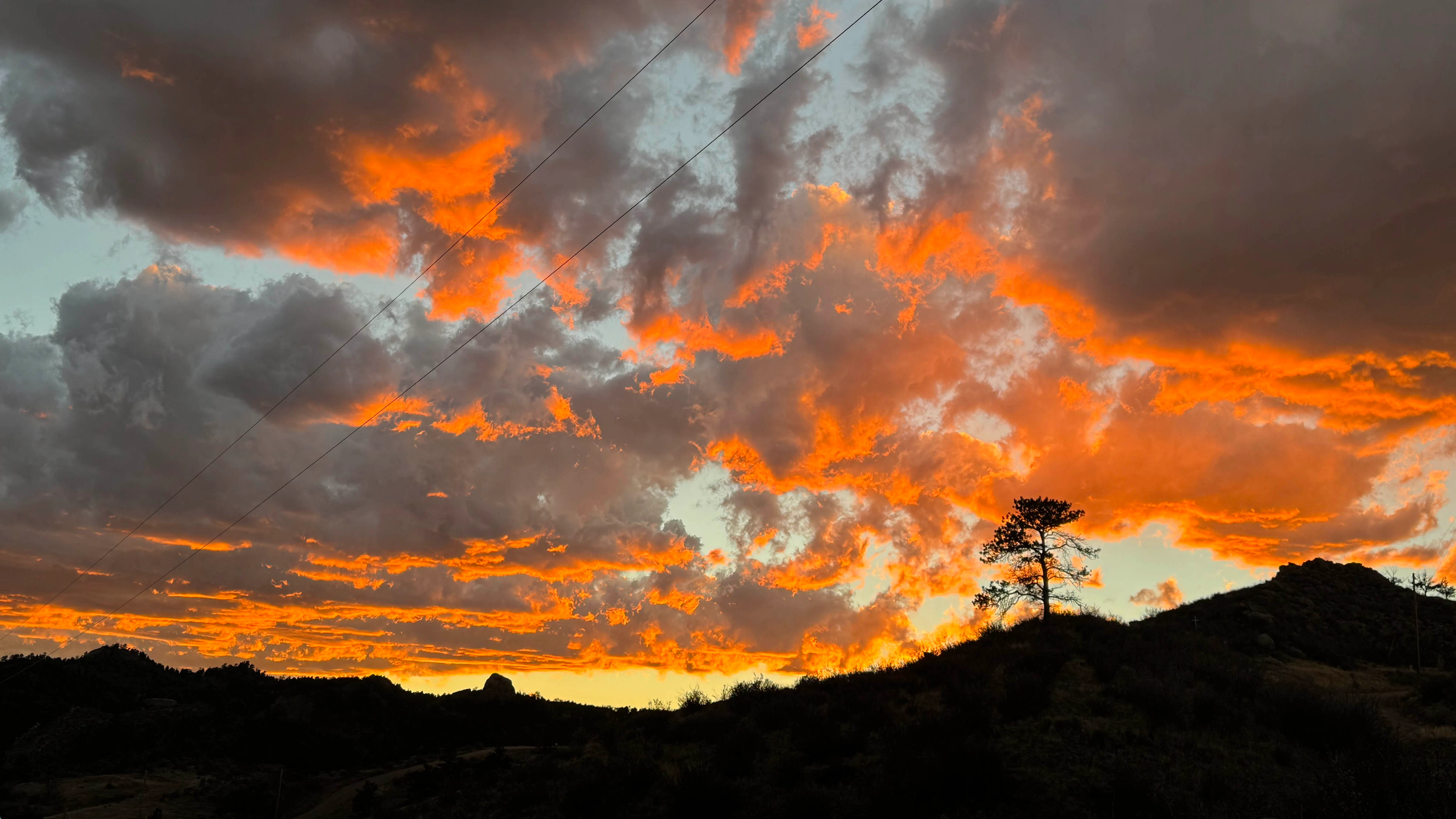
Areas of morning fog, rain and snow in Wyoming on Monday then gradually clearing skies. Rain and snow possible, breezy in some locations overnight. Highs in the 40s and 50s. Lows in the 20s and 30s.
Central:
Casper: Chance of rain mainly before 9 a.m., gradually clearing skies today with a high near 58 and mostly clear and windy overnight with a high wind watch beginning at 4 a.m., a low near 39 and wind gusts as high as 40 mph.
Riverton: Areas of fog before 9 a.m., gradually clearing skies today with a high near 57 and mostly clear and breezy overnight with a low near 36 and wind gusts as high as 28 mph.
Jeffrey City: Patchy fog before 9 a.m., gradually clearing skies and breezy today with a high near 55 and wind gusts as high as 24 mph. Increasing clouds and breezy overnight with a high wind watch beginning at 4 a.m., a low near 35 and wind gusts as high as 34 mph.
Southwest:
Evanston: Sunny today with a high near 54 and increasing clouds overnight with a chance of rain and snow mainly after 3 a.m., a low near 31 and wind from 9-16 mph.
Green River: Patchy fog before 9 a.m., gradually clearing skies today with a high near 56 and increasing clouds and breezy overnight with a low near 34 and wind gusts as high as 23 mph.
Kemmerer: Patchy fog before 10 a.m., gradually becoming sunny today with a high near 51 and partly cloudy and breezy overnight with a slight chance of rain and snow after 2 a.m., a low near 29 and wind gusts as high as 26 mph.
Western Wyoming:
Pinedale: Patchy fog before 11 a.m., gradually becoming sunny today with a high near 49 and increasing clouds overnight with a chance of rain and snow and a low near 26.
Alpine: Patchy fog before 10 a.m., mostly sunny today with a high near 57 and rain and snow near certain overnight with a low near 26.
Big Piney: Widespread fog mainly before 9 a.m., gradually clearing skies today with a high near 50 and mostly cloudy, becoming mostly clear toward daybreak overnight with a slight chance of rain and snow after 1 a.m. and a low near 23.
Northwest:
Dubois: Sunny today with a high near 50 and breezy overnight with rain and snow likely, a low near 29 and wind gusts as high as 30 mph.
Jackson: Areas of fog before 10 a.m., mostly sunny today with a high near 56 and breezy overnight with rain and snow near certain, a low near 23 and wind gusts as high as 23 mph.
Old Faithful in Yellowstone National Park: Partly sunny today with a high near 49 and rain and up to 3 inches of snow overnight with a low near 20.
Bighorn Basin:
Thermopolis: Patchy fog before 7 a.m., sunny today with a high near 57 and increasing clouds and breezy overnight with a low near 36 and wind gusts as high as 24 mph.
Cody: Sunny today with a high near 56 and increasing clouds overnight with a chance of rain and snow after 2 a.m. and a low near 36.
Worland: Areas of fog before 9 a.m., gradually becoming sunny today with a high near 59 and increasing clouds overnight with a low near 34.
North Central:
Buffalo: Gradually clearing skies today with a high near 54 and increasing clouds overnight with a low near 38.
Sheridan: Areas of fog before 9 a.m., gradually becoming sunny today with a high near 58 and increasing clouds overnight with patchy fog after midnight, a slight chance of snow after 5 a.m. and a low near 27.
Clearmont: Gradually clearing skies today with a high near 59 and increasing clouds overnight with a low near 31.
Northeast:
Gillette: Gradually clearing skies today with a high near 49 and wind gusts as high as 28 mph. Increasing clouds and breezy overnight with a low near 35 and wind gusts as high as 37 mph.
Newcastle: Rain likely mainly before noon, patchy fog and cloudy today with a high near 43 and mostly cloudy overnight with a low near 34 and wind gusts as high as 16 mph.
Moorcroft: Chance of rain before noon, gradually becoming mostly sunny today with a high near 49 and wind gusts as high as 23 mph. Mostly cloudy overnight with a low near 29 and wind gusts as high as 29 mph.
Eastern Plains:
Torrington: Chance of snow and rain before noon, gradually clearing skies today with a high near 48 and partly cloudy overnight with a low near 32.
Wheatland: Chance of snow and rain before 11 a.m., gradually becoming mostly sunny today with a high near 50 and partly cloudy overnight with a low near 35.
Midwest: Chance of rain before 8 a.m., gradually clearing skies today with a high near 57 and wind gusts as high as 20 mph. Mostly clear and breezy overnight with a high wind watch beginning at 4 a.m., a low near 39 and wind gusts as high as 29 mph.
Southeast:
Cheyenne: Chance of snow and rain gradually ending after 8 a.m., gradually clearing skies today with a high near 51 and partly cloudy overnight with a low near 34.
Laramie: Chance of snow and rain before 8 a.m., gradually becoming clearing skies today with a high near 52 and mostly clear overnight with a low near 33.
Pine Bluffs: Chance of rain before 10 a.m., gradually clearing skies today with a high near 53 and increasing clouds overnight with a low near 32.
South Central:
Rawlins: Gradually becoming sunny today with a high near 50 and mostly clear and breezy overnight with a low near 38 and wind from 10-20 mph.
Encampment: Slight chance of rain before 7 a.m., gradually clearing skies today with a high near 52 and mostly clear overnight with a low near 34.
Baggs: Gradually becoming sunny today with a high near 54 and mostly clear overnight with a low near 31.


