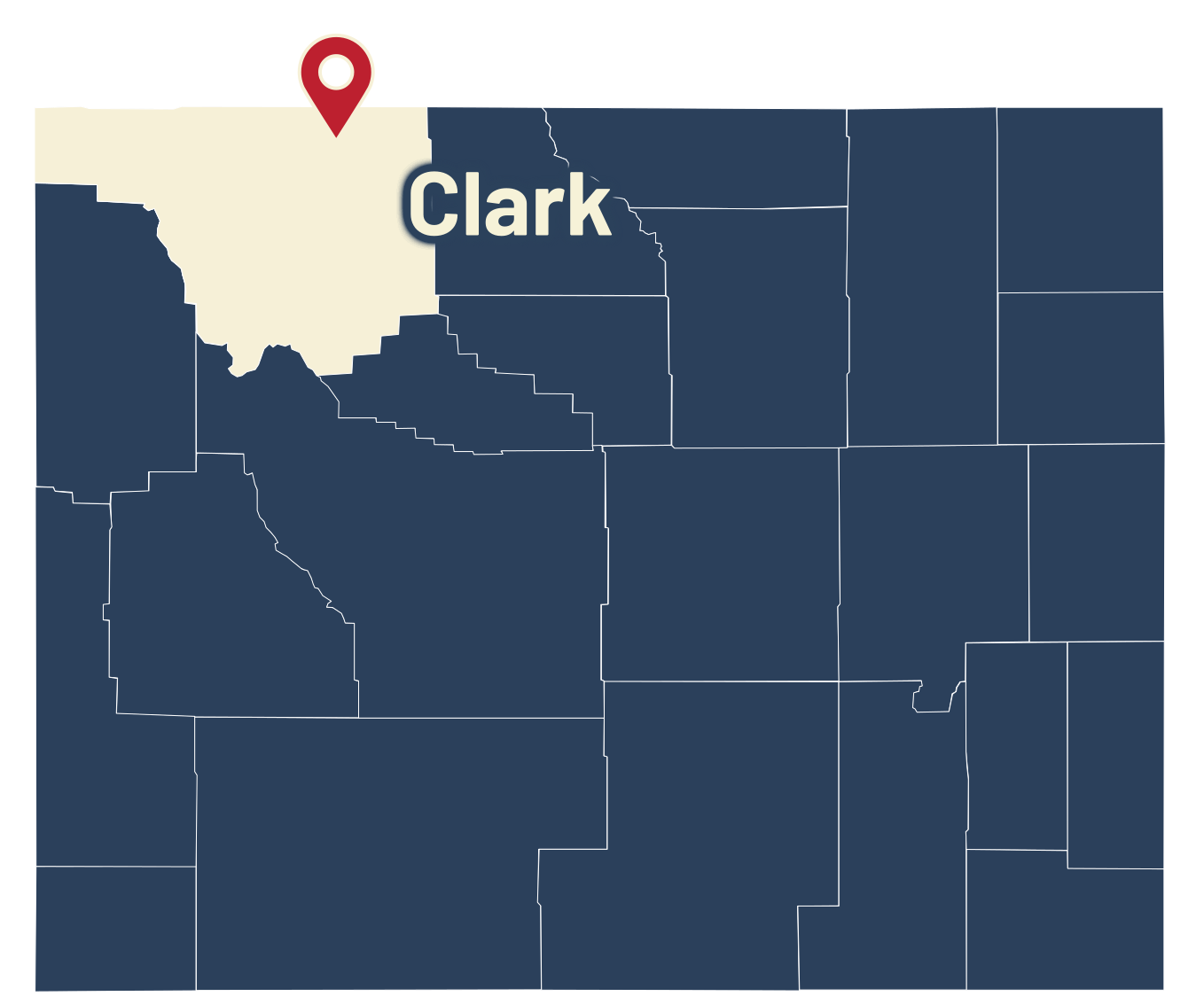
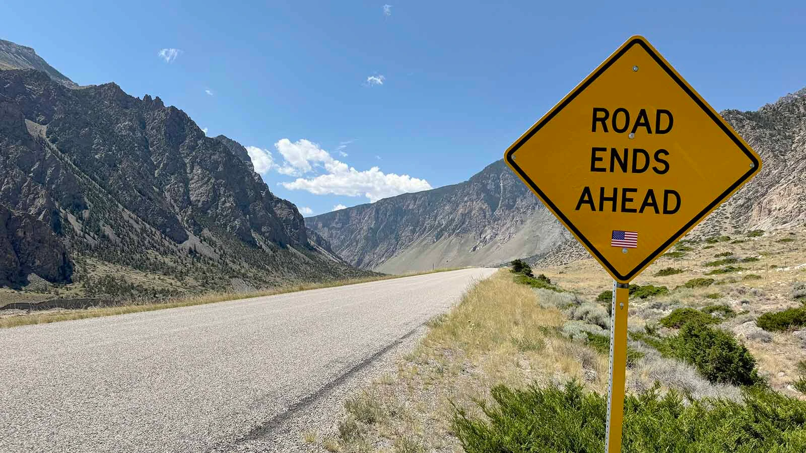
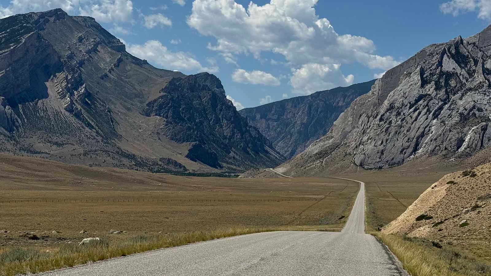
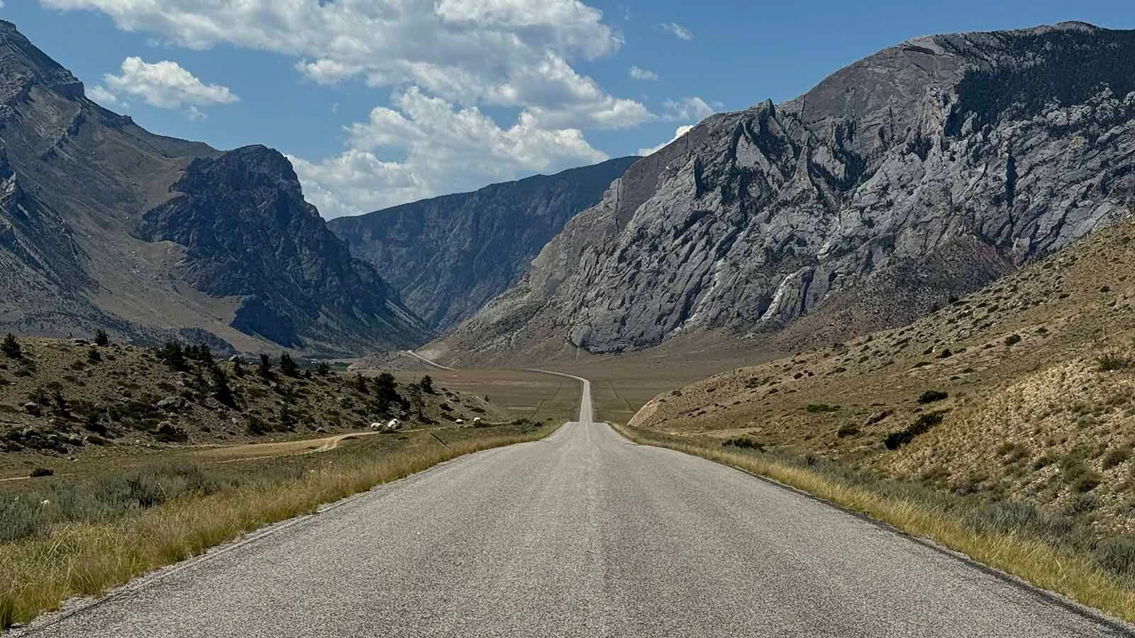
Anyone who turns off Wyoming Highway 120 toward Clark will find a paved two-lane road heading all the way to the mouth of the Clarks Fork Canyon. The road extends for 8 miles through some of the most riveting scenery in northwest Wyoming.
Then it abruptly ends.
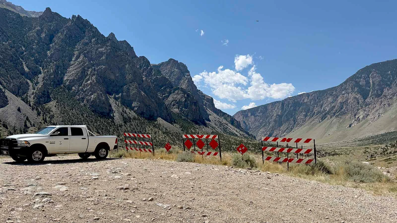
The pavement comes to a stop at a bumpy dirt parking lot. The only way to go any farther is by foot, on horseback, or in a sturdy off-road vehicle.
It’s officially County Road 8VC. Many locals know it as Canyon Road.
It’s also known as “The Road to Nowhere,” “Webster’s Folly,” and “The Road of Death.”
One thing it isn’t is a highway connecting northwest Wyoming to Cooke City, Montana, which is all it was intended to be.
Why the road was never completed is a complicated legacy of the forever unfinished Clarks Fork Road.
“It doesn't have a good history,” Cody historian Bob Richard said.
Crucial Connection
It was 1962, and the Wyoming Highway Department (WHD) wanted a road to connect Cody and Cooke City, which would become Wyoming Highway 296. That would give local and tourist traffic access to the Northeast Entrance of Yellowstone National Park.
Constant Edward “Bud” Webster had a bold vision.
Webster was an influential rancher and car dealer from Meeteetse. He ran Cody’s Chevrolet dealership for 65 years, longer than any other individual in the nation to that point.
“He was a leader in our community,” Richard said.
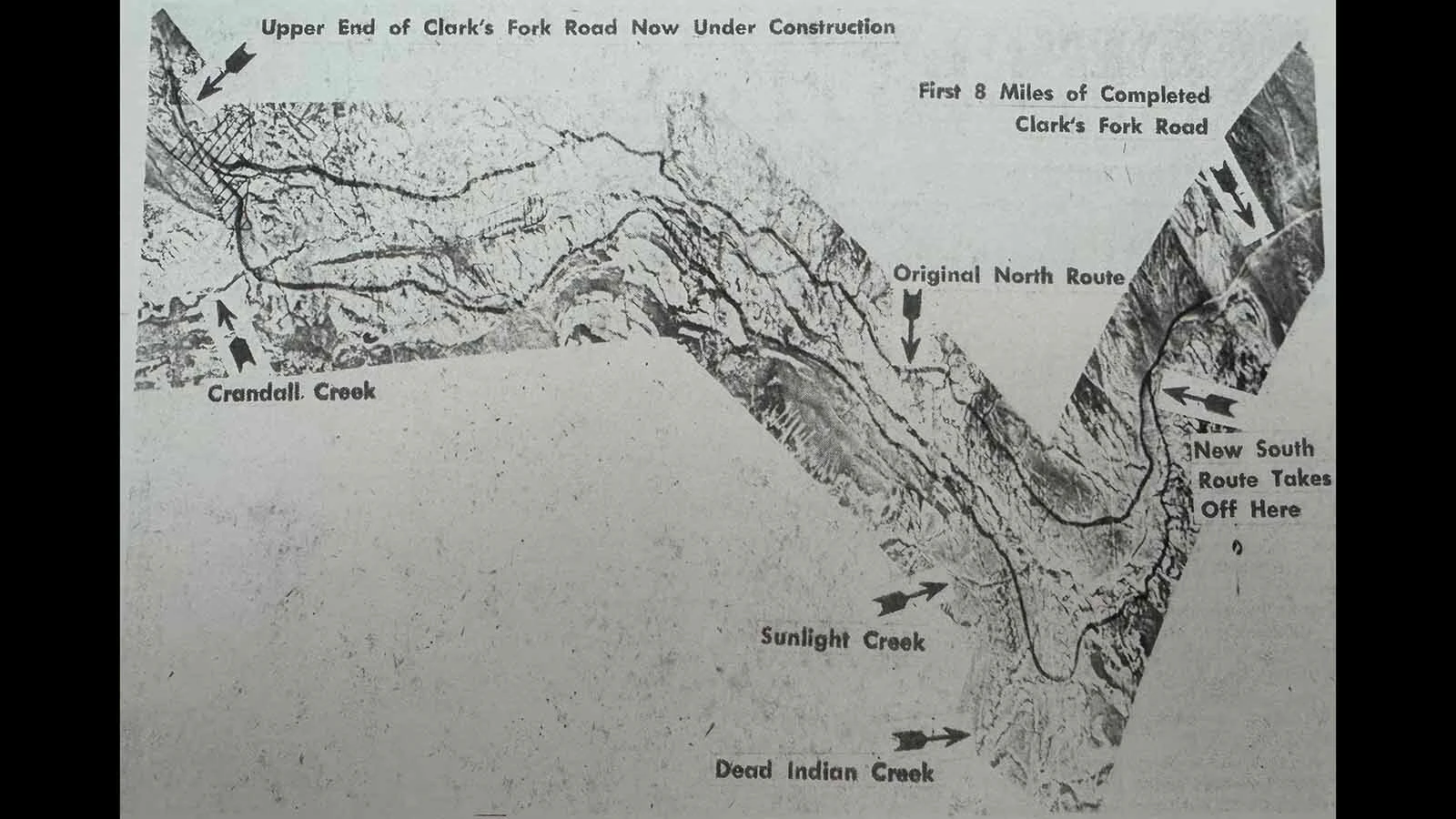
Webster wanted the new road to run along the bottom of the Clarks Fork Canyon, following the original North Route to Cooke City through the Absaroka Range.
“It was his favorite project,” Richard said. “Bud was the chairman of the Wyoming Highway Department at the time, and it was his idea to put a road up through the canyon. He developed it.”
Webster was so eager and influential that the Clarks Fork Road began construction.
It would never be finished.
By 1969, 8 miles of the Clarks Fork Road had been laid out, leveled and paved up to the mouth of the Clarks Fork Canyon.
At the same time, 37 miles away, construction was underway at the west end of the route. A junction was built at U.S. Highway 212, following the south bank of the Clarks Fork of the Yellowstone River into Sunlight Basin.
That’s when the controversy started to blow, much like the wind in the canyon.
Canyon Vs. Summit
Even when construction began on either end of Wyoming Highway 296, there was controversy about where the middle should go. Should it follow the Clarks Fork through the canyon, or head up and over 8,060-foot Dead Indian Summit?
This was the debate over the “Canyon” and “Summit” routes. Ronald Tabler, a research hydrologist with the U.S. Forest Service, explored both in a 1972 report he prepared for the WHP.
“An obvious advantage of the Canyon route is that it would avoid the blowing and drifting snow conditions that prevail on Dead Indian Pass,” he wrote. “The principal advantage of the Summit route, according to its proponents, is that it would have less esthetic impact and preserve the unspoiled beauty of the canyon.”
Tabler said he prepared his report “in response to public concern about the corridor location.” There was plenty of that to go around.
Based on existing historical records, public opinion was highly against the Canyon route.
In 1972, lifelong Wyomingite and “heavy tax-payer” John Bugas submitted an opinion piece to The Cody Enterprise. In it, he laid out his argument against the Canyon plan.
“It would make as much sense as cutting a highway up the Grand Canyon of the Colorado or the Grand Canyon of the Yellowstone,” he wrote. “A highway up the canyon not only is undesirable, (but) it is unnecessary for the needs of the traveling public.”
Bugas’ other reasons to oppose the Canyon route were excessive costs, “desecration” of the canyon’s beauty, and the frequency of landslides and rockfalls.
“I have seen three instances of rock and landslides on both sides of the river that would wipe out any – repeat, any – manmade structure except one of the nuclear bomb shelter type.”
W. Lyle Whiting published his own op-ed in 1972 calling the Canyon route “undesirable,” even after WHD finished the first 8-mile stretch from Clark to the canyon.
“The first section … seems practical until you get near the mouth of the canyon,” he said. “The wind has made the last part of (the road) unusable. The top has actually blown off the road.”
When the Cody Chamber of Commerce did a public opinion poll that same year, only 21% of participants supported the Canyon route. The remaining 79% preferred the Summit.
Chief Joseph’s Highway
After years of debate, the Canyon route was abandoned. Between 1977 and 1992, the existing road over Dead Indian Summit was graded and surfaced into the highway as it exists today.
Wyoming Highway 296, the Chief Joseph Scenic Highway, was dedicated Sept. 12, 1995. The 47-mile highway took 27 years to complete and cost nearly $30 million.
The road over Dead Indian Summit, connecting Cody and Cooke City, had existed for decades.
It was famously used by Chief Joseph and the Nez Perce Tribe in 1877 as they fled eastward from northeastern Oregon to avoid being captured and sent to a reservation by the U.S. Cavalry.
Ironically, Chief Joseph and his tribe eluded capture by following the route Webster wanted for the highway.
Gen. Samuel Sturgis, who intended to intercept and capture the fleeing tribe with 600 cavalry, found that “no trail could possibly lead through” the Clarks Fork Canyon. The tribe saw the unguarded opening, cleverly tricked Sturgis to reposition near the Shoshone River, and used the canyon to escape into Montana.
Richard remembers the old road well. It was functional, but far from glamorous.
“It used to take me a full day to get to Cooke City when I was in high school,” he said. “You didn't travel it when it rained because of the 6 or 8 inches of mud, and it was closed during the wintertime. You only traveled when it was dry.”
However, even developing that route was controversial. Richard remembers many people opposing any permanent road between Cody and Cooke City.
“Everybody that lived in the Sunlight Basin fought it,” he said. “They didn’t want it paved because they felt it would increase the traffic, and I don’t think it did that much.”
Webster was at the 1995 dedication, but by then the abandoned 8-mile stretch of pavement near Clark was already known as “Webster’s Folly.” He didn’t seem to mind and is still credited with spearheading the effort that eventually led to Highway 296.
What little existed of the Clarks Fork Highway remained a curiously well-designed road to nowhere — until it was tainted by tragedy.
Tragic End
Around 2 a.m. on May 5, 2002, five people left the Edelweiss Riverhouse in Clark and drove onto Canyon Road.
When the pavement ended, the 1999 Mercury Cougar they were riding in went off the road and through a barbed wire fence. The vehicle was airborne for 90 feet before landing, rolling several times, and stopping in a boulder field 15 feet below the road.
“The only way I knew it was a Cougar was because I saw the emblem at the side of the road,” David Doyle, then the Park County undersheriff, told The Cody Enterprise the day after the wreck. “The car is totaled.”
The victims weren’t able to get assistance until 8:08 a.m. One of them followed the road back to Clark so they could reach Park County Dispatch.
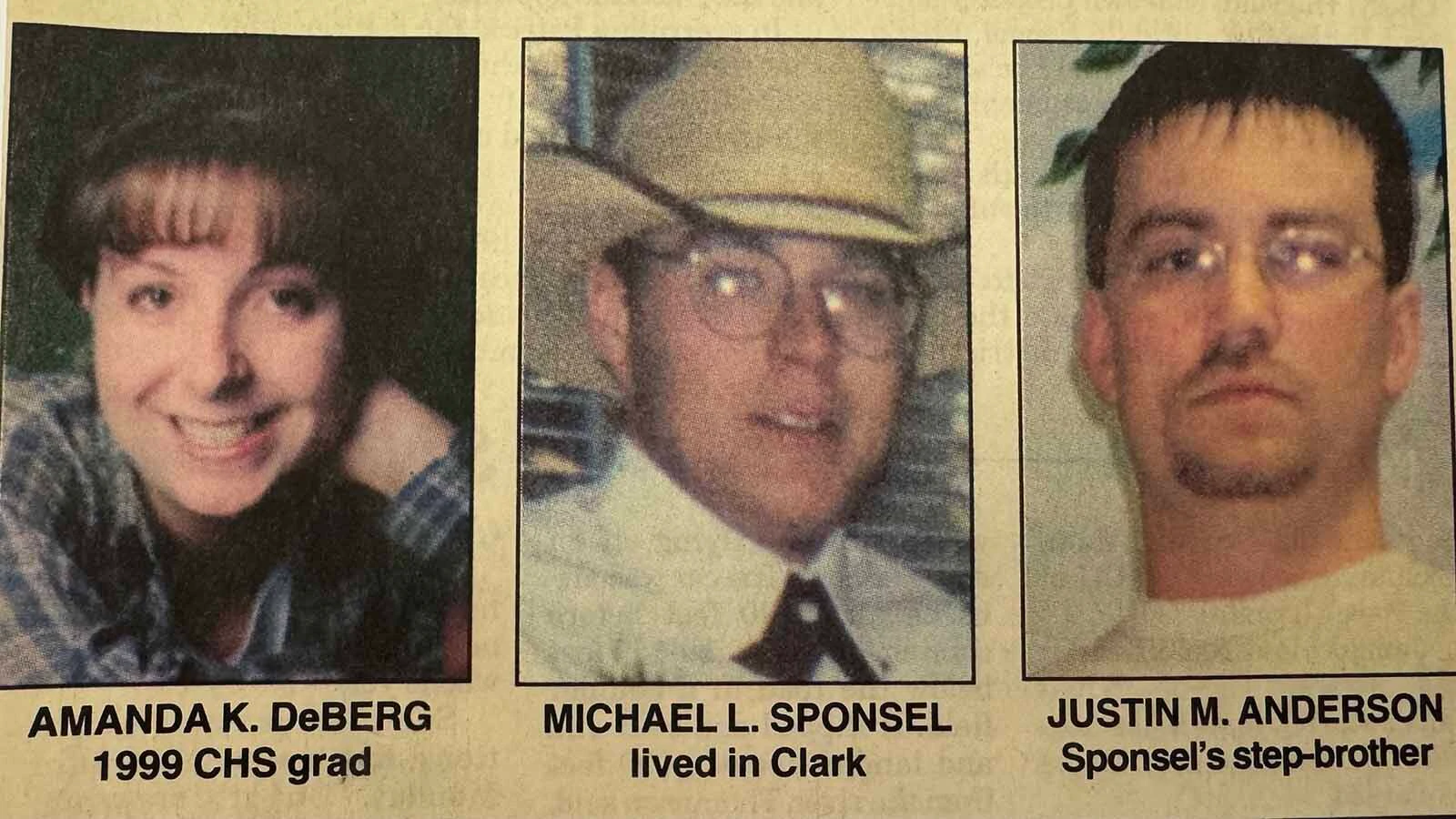
By the time first responders got to the scene, three people were dead: Amanda Kay Deberg, 20, of Cody, and Justin Mark Anderson, 25, and Michael Lee Sponsel, 18, both from Clark.
The other two victims were seriously injured but survived.
Lt. Len DeClerq said the vehicle was traveling at 66 mph when the crash occurred. It’s believed that whoever was driving didn’t know how abruptly the road ended, and couldn’t stop.
Alcohol was another contributing factor. Mike Sponsel, who lost his son and stepson in the crash, admitted some of them had been drinking at Edelweiss before the fatal crash.
Richard remembers the tragedy well.
“The kids got drunk at Edelweiss, were going way too fast, and hit the end of the road,” he said. “They were drunk, and they died there.”
Nowhere, No Chance
What killed “The Road to Nowhere?” There are multiple factors to consider, but the idea was borne on ill-fated winds from the beginning.
While public opinion was strongly against the Canyon route, Richard said he thinks the canyon itself dissuaded the WHD from pursuing it further.
“It’s too windy,” he said. “I don’t know how high the winds get up there, but that’s probably what ended it.”
Many people who opposed the Canyon route cited wind as enough of a reason not to pursue it. Because the topography of the Clarks Fork Canyon makes it a natural wind tunnel, that made sense.
The Canyon route stayed alive for as long as it did because of Webster. However, even his influence and enthusiasm couldn't overcome the significant obstacles.
“He was on the WHD board when those decisions were made, but too many people opposed it,” Richard said. “After a while I think the WHD said 'no more'.”
Always At The End Of The Road
Ultimately, the route to build a highway through the Clarks Fork Canyon was deemed too expensive, treacherous and controversial.
Nevertheless, the same stretch that was finished is still there.
“The Road to Nowhere” is still paved and maintained, offering easy access to the mouth of the canyon and what lies beyond. The dirt parking lot is the staging ground for the Morrison Jeep Trail, a 22-mile trek into the mountains considered a difficult “must-do” for off-road enthusiasts, and it's a great spot to see bighorn sheep and mountain goats.
The route Webster intended also remains intact as a hiking and riding trail. It runs along the northern edge the Clarks Fork to the Hunter Peak Ranch and Campground, south of the U.S. 212 junction where construction started in 1968.
Twenty miles of the Clarks Fork River were added to the National Wild and Scenic Rivers System in 1990. That has ensured it will remain free-flowing, devoid of any development, to preserve its natural beauty.
Richard understands why “Webster’s Folly” was doomed, but he regularly takes tours to the end of the 8-mile road.
To him, the attempted Clarks Fork Highway is a fascinating piece of Wyoming’s history that will forever remain unfinished.
Andrew Rossi can be reached at arossi@cowboystatedaily.com.