Warmer temperatures on Sunday but more rain, snow, and strong winds throughout much of the state including High Wind and Winter Storm Warnings in eastern Wyoming. Temperatures should be in the 30s and 40s.
Central:
Casper: There’s a winter weather advisory in effect until 6 p.m. Half an inch of snow is possible, mainly before 5 p.m. today, otherwise expect it to be mostly cloudy with a high near 36 and partly cloudy overnight with a low near 32.
Riverton: There’s a slight chance afternoon showers, otherwise it should be partly sunny today with a high near 48 and be mostly cloudy overnight with a low near 32.
Shoshoni: There’s a slight chance of afternoon showers, otherwise look for it to be mostly cloudy today with a high near 46 and mostly cloudy overnight with a chance of snow showers and low near 32.
Southwest:
Evanston: Look for it to be mostly cloudy and breezy today with a high near 34 and partly cloudy overnight with a low near 17.
Rock Springs: Expect it to be mostly sunny and breezy today with a high near 43 and partly cloudy overnight with a low near 24.
South Pass: Watch for patchy, blowing snow in the morning, otherwise it should be mostly sunny and breezy today with a high near 32 and it should gradually become mostly clear overnight with a low near 22.
Western Wyoming:
Pinedale: Watch for patchy, blowing snow today, otherwise expect it to be partly sunny today with a high near 35 and mostly cloudy overnight with a low near 21.
Alpine: There’s a chance of snow showers with up to 2 inches of snow today and overnight, otherwise look for it to be mostly cloudy today with a high near 34 and mostly clear overnight with a low near 26.
Big Piney: It should be mostly sunny and breezy today with a high near 40 and partly cloudy overnight with a low near 22.
Northwest:
Dubois: There’s a chance of afternoon showers, otherwise expect it to be mostly sunny and breezy today with a high near 41 and mostly cloudy overnight with a low near 25.
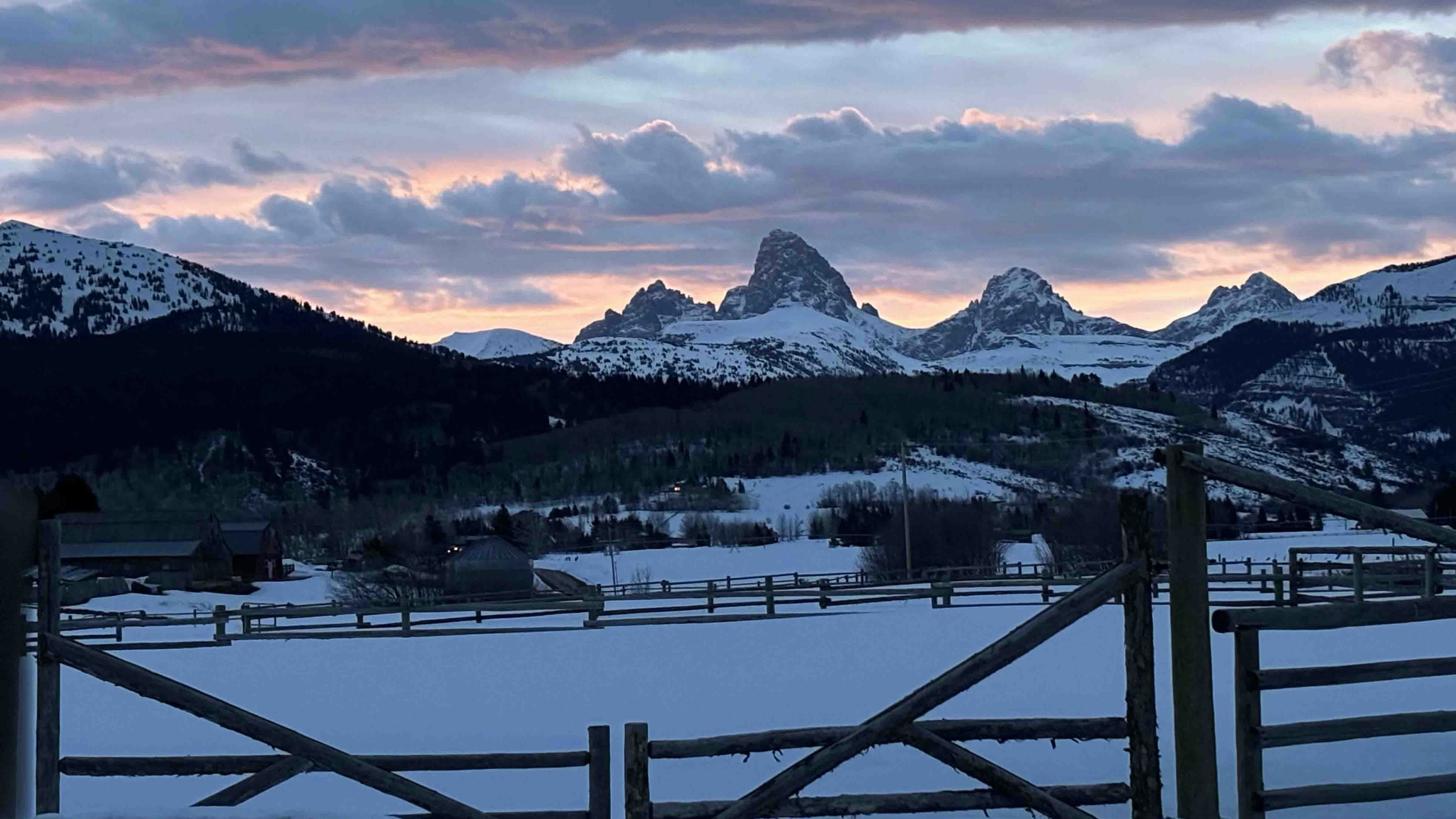
Jackson: It should be mostly sunny today with a high near 35 with a chance of snow showers, and mostly cloudy overnight with a low near 24.
Old Faithful in Yellowstone National Park: A Winter Weather Advisory is in effect until noon today. Otherwise, look for it to be mostly cloudy today with snow showers and a high near 34 and mostly cloudy overnight with more snow and a low near 19.
Bighorn Basin:
Thermopolis: There’s a slight chance of snow in the afternoon, otherwise it should be mostly cloudy today with a high near 43 and be mostly cloudy overnight with a chance of rain and snow showers and a low near 32.
Cody: Look for it to be mostly cloudy today with a chance of rain and snow showers and a high near 39 and cloudy overnight with a chance of more rain and snow showers and a low near 33.
Ten Sleep: Expect it to be cloudy today with a chance of rain and snow showers and a high near 38 and mostly cloudy overnight with up to three inches of snow and a low near 31 and wind gusts as high as 24 mph.
North Central:
Buffalo: Expect it to be mostly sunny today with a high near 55 and partly cloudy overnight with a low near 36.
Sheridan: There’s a Winter Storm Warning in effect until 12 p.m. Monday. Another inch of snow is possible today with a high near 39 and wind gusts as high as 48 mph, then more rain and snow showers overnight with a low near 31.
Dayton: There’s a Winter Storm Warning in effect until 12 p.m. Monday. Expect rain and snow showers today with a high near 38 and wind gusts as high as 48 mph, then more rain and snow showers overnight with a low near 30.
Northeast:
Gillette: A Winter Storm Warning is in effect until 6 a.m. Monday, with wind gusts as high as 47 mph and wind chills as low as 16. Expect heavy snow with up to 7 inches of accumulation today, with a high of 37. Then, watch for patchy, blowing snow overnight, with up to another 3 inches of accumulation and a low near 30.
Sundance: There’s a Winter Storm Warning in effect until 6 a.m. Monday, with wind gusts as high as 34 mph and wind chills as low as 19. Snow showers with up to 4 inches of accumulation today, with a high of 33, then more snow overnight with up to another 3 inches of accumulation and a low near 28.
Hulett: A Winter Storm Warning is in effect until 6 a.m. Monday with wind gusts as high as 32 mph. Expect rain and snow showers with up to 3 inches of accumulation today with a high near 37 and more snow with up to 3 inches of accumulation overnight with a low near 30.
Eastern Plains:
Torrington: There’s a High Wind Warning in effect until 3 p.m. this afternoon with wind gusts as high as 55 mph, and a Winter Storm Watch in effect until 6 a.m. Monday. Expect snow and rain showers today with a high near 43, then mostly cloudy overnight with a chance of more rain and snow showers with a low near 30.
Lusk: A Winter Storm Warning is in effect until 6 a.m. Monday with up to 11 inches of snow accumulation possible. Expect heavy snow today, mainly before noon, with wind gusts as high as 60 mph and a high near 32, then cloudy overnight with more snow and a low around 28.
Midwest: There’s a Winter Weather Advisory in effect until 6 p.m. today. Snow showers are likely today with up to 3 inches of accumulation and a high near 34, then cloudy overnight with more snow showers and a low near 30.
Southeast:
Cheyenne: There’s a High Wind Warning in effect until 3 p.m. with wind gusts as high as 75 mph. Otherwise look for it to be mostly sunny and breezy today with a chance of early morning snow and a high near 45, then mostly clear overnight with a low near 28.
Laramie: A High Wind Warning is in effect until 3 p.m. with wind gusts as high as 60 mph. There’s a chance of snow mainly before noon, otherwise expect it to be mostly sunny today with a high near 38 and mostly clear overnight with a low near 24.
Pine Bluffs: A High Wind Warning is in effect until 3 p.m. with wind gusts as high as 70 mph. There’s a slight chance of snow before 2 p.m., otherwise it should be partly sunny and breezy today with a high near 47, then partly cloudy overnight with a low near 27.
South Central:
Rawlins: There’s a chance of snow today with wind gusts as high as 50 mph, otherwise it should be partly sunny with a high near 40 and partly cloudy overnight with a low near 26.
Encampment: There’s a chance of snow today, otherwise it should be mostly sunny with a high near 36 and wind gusts as high as 45 mph, then partly cloudy overnight with a low near 21.
Wamsutter: Expect it to be mostly sunny and breezy today with a high near 38 and wind gusts of up to 40 mph. Overnight it should be partly cloudy and blustery with a low near 23 and wind gusts as high as 31 mph.


