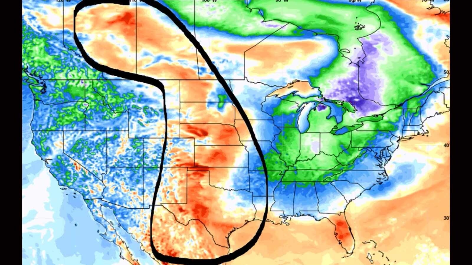
It’s Thursday, March 30 – and another west coast storm system has its sights set on the Cowboy State again, bringing rain, snow, wind, and colder weather to the Rockies. New snow will accumulate in many parts of the state today and tonight, although temperatures in the central and southeast regions could rise significantly today, along with wind speeds.
Central:
There’s a 20 percent chance of showers this afternoon in Casper, otherwise mostly sunny and windy, with a high near 50 and gusts as high as 40 mph. There’s a slight chance of snow today in Lander, otherwise partly sunny, with a high near 39. Shoshoni has a slight chance of rain and snow this afternoon, otherwise partly sunny, with a high near 41.
Overnight, Casper can expect a chance of rain turning to snow (less than half an inch possible), with a low around 29; breezy, with gusts as high as 32 mph. Snow showers are likely in Lander overnight (less than half an inch possible) with a low around 20. There’s a chance of rain turning to snow tonight in Shoshoni (less than half an inch possible), with a low around 21; breezy, with gusts as high as 23 mph.
Southwest:
There’s a chance of snow today in Evanston, with a high near 31 and wind chill values as low as 9; new snow accumulation less than one inch possible. Green River has a chance of snow this afternoon (less than half an inch possible), with a high near 38; breezy, with gusts as high as 23 mph. Snow showers are likely this afternoon over South Pass, otherwise mostly cloudy and breezy, with a high near 30 and gusts as high as 24 mph; new snow accumulation of less than a half inch possible.
Mostly cloudy with a chance of snow in Evanston tonight (less than half an inch possible), with a low around 19 and wind chill values as low as 6; breezy, with gusts as high as 33 mph. There’s a 20 percent chance of snow showers overnight in Green River, with a low around 23; breezy, with gusts as high as 30 mph. Travelers over South Pass tonight can expect scattered snow showers (less than half an inch expected), with a low around 14; breezy, with gusts as high as 26 mph.
Western Wyoming:
Snow showers are likely in Alpine today, with a high near 36; new snow accumulation of less than one inch possible. Scattered snow showers in Pinedale today (less than half an inch possible), with a high near 31. Thayne can expect around an inch of new snow today, with a high near 36.
Alpine could see 1 to 3 inches of new snow overnight, with a low around 23. Isolated snow showers tonight in Pinedale, with a low around 9 and wind chill values as low as zero; breezy, with gusts as high as 20 mph. 1 to 2 inches of snow is expected overnight in Thayne, with a low around 22.
Northwest:
Jackson can expect 1 to 2 inches of new snow today, with a high near 36; breezy, with gusts as high as 20 mph. Snow showers are likely this afternoon in Dubois, otherwise mostly cloudy and breezy, with a high near 40 and gusts as high as 24 mph; new snow accumulation of around an inch possible. Snow showers are expected in Yellowstone National Park today (less than an inch expected), with a high near 37; breezy, with gusts as high as 20 mph.
Snow showers are likely in Jackson overnight (less than one inch expected), with a low around 20; breezy, with gusts as high as 20 mph. Dubois can expect scattered snow showers overnight (less than half an inch possible), with a low around 22; blustery, with gusts as high as 24 mph. Snow showers are likely tonight in Yellowstone, with a low around 22; new snow accumulation of less than one inch possible.
Bighorn Basin:
Snow showers are likely this afternoon in Cody (less than an inch expected), otherwise mostly cloudy, with a high near 39; breezy, with gusts as high as 21 mph. There’s a slight chance of rain and snow showers today in Greybull, with a high near 43; breezy, with gusts as high as 23 mph. A slight chance of snow showers will turn to scattered rain showers in Thermopolis today, otherwise partly sunny, with a high near 45.
Snow showers are likely in Cody tonight (less than one inch possible), with a low around 23; breezy, with gusts as high as 21 mph. Greybull can expect scattered rain showers turning to snow tonight (less than half an inch of new snow possible), with a low around 25; blustery, with gusts as high as 28 mph. Scattered rain showers will turn to snow overnight in Thermopolis, with a low around 26; new snow accumulation of less than a half inch possible.
North Central:
Patchy fog is expected today in Sheridan, with a 40 percent chance of snow later this afternoon, otherwise partly sunny, with a high near 36; new snow accumulation of less than a half inch possible. Buffalo can expect scattered snow showers this afternoon, otherwise mostly sunny and breezy, with a high near 41 and gusts as high as 21 mph. There’s a 50 percent chance of snow this afternoon in Ranchester, with areas of fog, otherwise partly sunny, with a high near 34; new snow accumulation of less than a half inch possible.
Sheridan can expect around 2 inches of new snow overnight, with patchy fog and a low around 21. 1 to 2 inches of new snow is expected overnight in Buffalo, with a low around 24; blustery, with gusts as high as 37 mph. There’s an 80% chance of snow tonight in Ranchester, with a low around 20; new snow accumulation of around 2 inches.
Northeast:
There’s a slight chance of snow this morning in Sundance, with a slight chance of rain this afternoon, otherwise mostly sunny, with a high near 51; breezy, with gusts as high as 21 mph. Mostly sunny today in Gillette, with a high near 49 and wind chill values as low as 17; breezy, with gusts as high as 28 mph. Mostly sunny today in Hulett, with a high near 53 and wind chill values as low as 15; breezy, with winds gusting as high as 21 mph.
Sundance could see 1 to 3 inches of new snow overnight, with a low around 23 and wind chill values as low as 13. There’s a chance of rain in Gillette this evening, turning to snow later (1 to 3 inches possible), with a low around 24 and wind chill values as low as 14; blustery, with gusts as high as 30 mph. A chance of rain turning to snow overnight in Hulett, with a low around 23 and wind chill values as low as 15; new snow accumulation of 1 to 3 inches possible.
Eastern Plains:
Torrington can expect patchy fog this morning, with a 20 percent chance of showers after noon, otherwise, mostly sunny and warmer, with a high near 66; windy, with gusts as high as 35 mph. Patchy fog is expected this morning in Lusk, with a 20 percent chance of showers after noon, otherwise mostly sunny and windy, with a high near 58 and gusts as high as 35 mph. Mostly sunny and breezy today in Kaycee, with a high near 49 and wind gusts as high as 24 mph.
There’s a chance of rain showers turning to snow overnight in Torrington, with a low around 29; breezy, with gusts as high as 30 mph. Lusk has a chance of rain showers this evening, turning to a chance of snow showers later, with a low around 24; blustery, with gusts as high as 30 mph. There’s a slight chance of rain showers this evening in Kaycee, with snow showers likely overnight (1 to 2 inches possible); mostly cloudy and breezy, with a low around 26 and wind gusts as high as 21 mph.
Southeast:
Patchy fog is expected in Cheyenne this morning, with a 20 percent chance of showers in the afternoon, otherwise mostly sunny and breezy, with a high near 56 and wind gusts as high as 35 mph. There’s a 30 percent chance of snow showers this afternoon in Laramie, otherwise sunny and windy, with a high near 51 and gusts as high as 45 mph. Pine Bluffs can expect patchy fog this morning, otherwise mostly sunny and breezy, with a high near 59 and wind gusts as high as 30 mph.
Cheyenne can see a chance of rain showers this evening, turning to snow showers later, with a low around 27; breezy, with gusts as high as 35 mph. There’s a 30 percent chance of snow showers tonight in Laramie, with a low around 23; windy, with gusts as high as 35 mph. Pine Bluffs has a chance of rain showers this evening, turning to a chance of snow showers later, with a low around 27; blustery, with gusts as high as 30 mph.
South Central:
There’s a 40 percent chance of snow showers today in Rawlins, otherwise partly sunny and windy, with a high near 40 and wind gusts as high as 35 mph. Snow showers are likely this afternoon in Encampment (less than one inch possible), otherwise partly sunny and windy, with a high near 43 and gusts as high as 40 mph. Snow showers are likely today in Wamsutter (less than one inch expected), with a high near 35; breezy, with gusts as high as 23 mph.
Rawlins has a 40 percent chance of snow showers overnight, with a low around 22; windy, with gusts as high as 45 mph. 1 to 2 inches of new snow is expected overnight in Encampment, with a low around 18; breezy, with gusts as high as 30 mph. Scattered snow showers tonight in Wamsutter, with a low around 19; breezy, with gusts as high as 28 mph.


