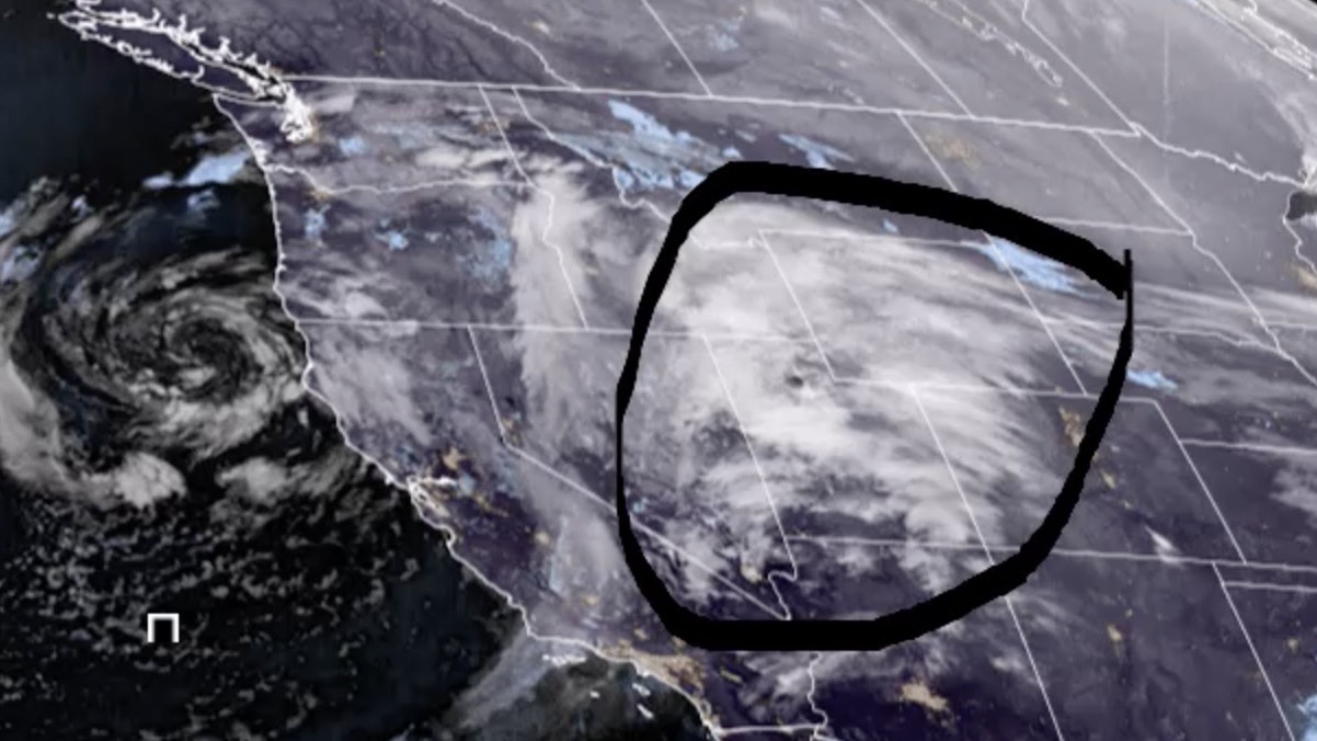
It’s Wednesday, March 29 – and while “normal” temperatures for the last week of March are usually in the low to mid 50s, very few places in the state have seen much of that this month (this same time last year, there were highs of 72 in some places in Wyoming).
Temperatures will be more seasonable today, with highs in the 50s in some parts of the state. We’re between storm systems at the moment, but more snow is expected across the state tonight and into Thursday and Friday, bringing with it colder temperatures… again.
Central:
Partly sunny today in Riverton, with a high near 38. Mostly cloudy in Casper, with a high near 48. Mostly cloudy today in Glenrock, with a high near 50.
Partly cloudy in Riverton overnight, with a low around 18. Partly cloudy tonight in Casper, with a low around 31. Partly cloudy overnight in Glenrock, with a low around 30.
Southwest:
Mostly cloudy and breezy today in Rock Springs, with a high near 46 and winds gusting as high as 28 mph. Partly sunny in Evanston today, with a high near 37 and wind chill values as low as 9. Partly sunny today in Kemmerer, with a high near 39 and wind chill values as low as zero.
There’s a 50 percent chance of snow showers overnight in Rock Springs, otherwise partly cloudy and breezy, with a low around 25 and wind gusts as high as 26 mph; new snow accumulation of less than a half inch possible. Evanston could see 1 to 2 inches of new snow overnight, with a low around 21. Kemmerer can expect 1 to 2 inches of snow tonight, with a low around 18.
Western Wyoming:
A 20 percent chance of snow showers this afternoon in Pinedale, with a high near 32 and wind chill values as low as zero. There’s a slight chance of rain and snow showers today in Star Valley, with a high near 42. Cloudy today in Big Piney, then gradually becoming mostly sunny, with a high near 32 and wind chill values as low as -5.
1 to 2 inches of snow could fall in Pinedale overnight, with a low around 16. Star Valley can expect a chance of rain turning to snow overnight, with a low around 25; new snow accumulation of 1 to 2 inches possible. Big Piney could see around an inch of new snow tonight, with a low around 9.
Northwest:
There’s a slight chance of rain and snow showers this afternoon in Dubois, otherwise partly sunny, with a high near 41. Jackson has a chance of snow showers this afternoon, later mixing with rain, with a high near 41. In Yellowstone National Park, there’s a slight chance of rain and snow showers in the afternoon, turning to rain later, with a high near 42.
Dubois has a 50 percent chance of snow showers tonight, with a low around 24; new snow accumulation of less than a half inch possible. There’s a chance of rain and snow showers this evening in Jackson, turning to snow later, with a low around 24; new snow accumulation of 1 to 3 inches possible. There’s a chance of rain showers tonight in Yellowstone, turning to snow showers later, with a low around 27; new snow accumulation of less than a half inch possible.
Bighorn Basin:
Partly sunny today in Worland, with a high near 44. Mostly cloudy in Cody today, with a high near 40. Mostly cloudy in Thermopolis, with a high near 46.
Mostly cloudy overnight in Worland, with a low around 21. There’s a 30 percent chance of snow showers overnight in Cody, with a low around 23. Partly cloudy in Thermopolis tonight, with a low around 26.
North Central:
Mostly cloudy today in Sheridan, with a high near 38. Partly sunny in Story and in Big Horn, with a high near 40.
Mostly cloudy in Sheridan overnight, with a low around 19. Partly cloudy tonight in Story, with a low around 24. Partly cloudy in Big Horn overnight, with a low around 22.
Northeast:
Partly sunny today in Gillette, with a high near 41 and wind chill values as low as 9; breezy, with gusts as high as 29 mph. Mostly cloudy today in Newcastle, with a high near 39 and wind chill values as low as 9; breezy, with gusts as high as 23 mph. Partly sunny today in Aladdin, with a high near 43 and wind chill values as low as 9.
Mostly cloudy tonight in Gillette, then gradually becoming mostly clear, with a low around 24 and wind chill values as low as 12; breezy, with gusts as high as 40 mph. Partly cloudy overnight in Newcastle, with a low around 26 and wind chill values as low as 17; breezy, with gusts as high as 29 mph. Mostly cloudy tonight in Aladdin, then gradually becoming mostly clear, with a low around 27.
Eastern Plains:
Mostly cloudy today in Wheatland, with a high near 50. Mostly cloudy in Douglas today, with a high near 48; breezy, with winds gusting as high as 30 mph. Mostly cloudy today in Midwest, with a high near 42.
Partly cloudy overnight in Wheatland, with a low around 28. Mostly cloudy tonight in Douglas, with a low around 27; breezy, with winds 10 to 20 mph. Partly cloudy in Midwest overnight, with a low around 28.
Southeast:
Mostly cloudy today in Laramie, with a high near 46. Partly sunny in Cheyenne today, with a high near 40. Mostly cloudy today in Medicine Bow, with a high near 43.
Partly cloudy in Laramie tonight, with a low around 27. Mostly cloudy overnight in Cheyenne, with a low around 23. Mostly cloudy in Medicine Bow overnight, with a low around 25.
South Central:
Mostly cloudy today in Saratoga, with a high near 44. Partly sunny in Rawlins, with a high near 42; breezy, with winds 10 to 20 mph. Partly sunny today in Baggs, with a high near 45.
Partly cloudy in Saratoga overnight, with a low around 29. Mostly cloudy and breezy in Rawlins tonight, with a low around 29 and gusts as high as 30 mph. Partly cloudy and breezy overnight in Baggs, with a low around 26 and winds increasing to 15 to 20 mph after midnight.


