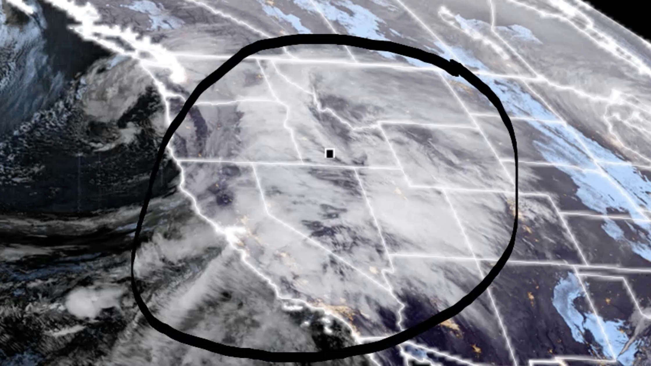
It’s Friday, March 10 – and once again, the weather patterns are split in the state. Snow in the west and wind in the east will be the main concerns today.
Central:
Mostly cloudy in Casper today, with some isolated showers expected in the afternoon, and a high near 47; very windy, with gusts as high as 55 mph. Lander can expect some scattered snow showers today (less than half an inch possible), mixing with rain in the afternoon, with a high near 39 and wind chill values as low as zero; breezy, with wind gusts as high as 33 mph causing some patchy blowing snow conditions mid-day. Jeffrey City could see some scattered snow showers this afternoon (less than half an inch expected), with a high near 36 and wind chill values as low as zero; windy, with gusts as high as 50 mph causing patchy blowing snow conditions.
Mostly cloudy overnight in Casper, with a slight chance of rain and snow showers, and a low around 30; very windy, with gusts as high as 55 mph. Scattered snow showers in Lander tonight (less than half an inch expected), with a low around 14; breezy, with gusts as high as 31 mph. Jeffrey City can expect some scattered snow showers tonight (less than half an inch possible), then gradually becoming mostly clear, with a low around 18; windy, with gusts as high as 48 mph.
Southwest:
WINTER STORM WARNING IN EFFECT UNTIL 5 A.M. SATURDAY
Travelers over South Pass, beware – 4 to 8 inches of snow is expected to fall today, with patchy blowing snow in the afternoon (winds could gust as high as 40 mph); a high near 31 and wind chill values as low as -5. 1 to 2 inches of snow is likely this morning in Evanston, turning to rain and snow later in the day; highs near 37, but windy, with gusts as high as 50 mph causing patchy blowing snow conditions. Scattered snow showers (less than half an inch) will turn to rain and snow showers in Green River today, with a high near 39; breezy, with gusts as high as 26 mph.
Around an inch of new snow is likely over South Pass tonight, with widespread blowing snow (wind gusts as high as 47 mph); cloudy, then gradually becoming partly cloudy, with a low around 12 and wind chill values as low as -5. 1 to 3 inches of new snow is expected tonight in Evanston, with a low around 11 and wind chill values as low as 3; windy, with gusts as high as 55 mph. Green River can expect about an inch of new snow tonight, with a low around 20; breezy, with gusts as high as 28 mph.
Western Wyoming:
WINTER STORM WARNING IN EFFECT UNTIL 5 A.M. SATURDAY
2 to 4 inches of snow is expected in Pinedale today, with a high near 32 and wind chill values as low as -5; breezy, with gusts as high as 28 mph causing patchy blowing snow conditions. Afton could see 2 to 4 inches of new snow today, with a high near 33; breezy, with gusts as high as 37 mph. 1 to 3 inches of snow is expected in La Barge today, with a high near 34 and wind chill values as low as -15; breezy, with gusts as high as 37 mph causing patchy blowing snow conditions in the afternoon.
Pinedale can expect less than an inch of new snow overnight, with a low around 3 and wind chill values as low as -10; breezy, with gusts as high as 28 mph. Another 1 to 3 inches of snow could fall tonight in Afton, with a low around 11; breezy, with gusts as high as 24 mph. La Barge could see a little less than an inch of snow tonight, with a low around 2 and wind chill values as low as -10; breezy, with gusts as high as 37 mph.
Northwest:
WINTER STORM WARNING UNTIL 5 A.M. SATURDAY
Dubois can expect rain and snow showers today (less than half an inch possible), with a high near 45; breezy, with gusts as high as 31 mph. 2 to 4 inches of snow is expected in Jackson today, with a high near 37 and wind chill values as low as zero; windy, with gusts as high as 41 mph. Yellowstone National Park can expect rain and snow showers (around an inch possible) and a high near 41; windy, with gusts as high as 40 mph.
Snow showers are likely in Dubois tonight (less than an inch expected), with a low around 17 and wind chill values as low as zero; breezy, with gusts as high as 37 mph. Jackson can expect around an inch of new snow overnight, along with wind, with gusts as high as 38 mph causing widespread blowing snow; a low around 11 with wind chill values as low as -5. Snow showers are likely in Yellowstone tonight (less than an inch possible), with a low around 17; breezy, with gusts as high as 33 mph.
Bighorn Basin:
Cody can expect some isolated showers after noon, otherwise partly sunny and breezy, with a high near 47 and wind gusts as high as 23 mph. Greybull could see some isolated showers this afternoon, otherwise partly sunny, with a high near 43; windy, with gusts as high as 38 mph. Partly sunny in Lovell today, with a high near 45; windy, with gusts as high as 38 mph.
Isolated snow showers are expected tonight in Cody, otherwise partly cloudy and breezy, with a low around 24 and wind gusts as high as 30 mph. There’s a slight chance of rain and snow showers tonight in Greybull, otherwise partly cloudy, with a low around 19; breezy, with gusts as high as 26 mph. Partly cloudy and breezy overnight in Lovell, with a low around 23 and winds gusting as high as 34 mph.
North Central:
Partly sunny in Sheridan today, with a high near 45. Cloudy this morning in Clearmont, then gradually becoming mostly sunny, with a high near 47; windy, with gusts as high as 39 mph. Ranchester can expect partly sunny skies today, with a high near 42.
There’s a chance of rain and snow showers overnight in Sheridan, with a low around 17; breezy, with wind speeds of 16 to 25 mph. There’s a slight chance of rain and snow showers in Clearmont overnight, otherwise partly cloudy and windy, with a low around 16 and wind gusts as high as 47 mph. Ranchester has a chance of rain and snow showers tonight, gradually becoming mostly clear, with a low around 16; breezy, with winds 15 to 24 mph.
Northeast:
Patchy blowing snow is expected this morning in Gillette, otherwise mostly cloudy, with a high near 42 and wind chill values as low as 5; winds could gust as high as 44 mph. Cloudy this morning in Sundance, then gradually becoming mostly sunny, with a high near 39 and wind chill values as low as 5; winds gusting as high as 31 mph will cause some patchy blowing snow conditions. Hulett has a 10 percent chance of rain this afternoon, otherwise mostly cloudy, with a high near 44 and wind chill values as low as 2; breezy, with gusts as high as 29 mph.
Mostly cloudy overnight in Gillette, with a low around 24 and wind chill values as low as 15; windy, with gusts as high as 50 mph. There’s a chance of rain and snow overnight in Sundance, with a low around 20 and wind chill values as low as 10; windy, with gusts as high as 36 mph. There’s a chance of rain and snow overnight in Hulett, with a low around 20 and wind chill values as low as 10; breezy, with gusts as high as 33 mph.
Eastern Plains:
Cloudy in Torrington today, then gradually becoming mostly sunny, with a high near 56; breezy, with winds gusting as high as 25 mph. Mostly cloudy today in Lusk, with a high near 43; breezy, with gusts as high as 30 mph. Partly sunny and windy in Kaycee today, with a high near 46 and wind chill values as low as zero; winds could gust as high as 41 mph.
Mostly cloudy overnight in Torrington, with a low around 33; breezy, with gusts as high as 30 mph. Mostly cloudy in Lusk tonight, with a low around 25; windy, with gusts as high as 40 mph. Partly cloudy overnight in Kaycee, with a low around 25; windy, with gusts as high as 38 mph.
Southeast:
Partly sunny today in Cheyenne, with a high near 53; breezy, with gusts as high as 30 mph. There’s a 40 percent chance of showers in Laramie this afternoon, otherwise partly sunny and windy, with a high near 49 and gusts as high as 45 mph. Chugwater has a 20 percent chance of showers this afternoon, with a high near 55; breezy, with gusts as high as 40 mph.
There’s a slight chance of rain and snow showers overnight in Cheyenne, with a low around 33; breezy, with gusts as high as 35 mph. Laramie has a chance of rain and snow showers overnight (less than half an inch possible), with a low around 29; breezy, with gusts as high as 30 mph. There’s a chance of rain and snow showers in Chugwater tonight, with a low around 32; windy, with gusts as high as 50 mph.
South Central:
HIGH WIND WARNING IN EFFECT UNTIL 6 A.M. SATURDAY
There’s a chance of snow showers this morning in Rawlins, turning to rain showers this afternoon, with a high near 40; windy, with gusts as high as 60 mph. Snow showers are likely in Encampment today (around an inch possible), with a high near 38; windy, with gusts as high as 45 mph. There’s a chance of snow showers in Hanna this morning, turning to rain later in the day, with a high near 38; windy, with gusts as high as 60 mph.
Rain and snow showers are likely overnight in Rawlins (less than half an inch possible), with a low around 19; windy, with gusts as high as 55 mph. Encampment can expect rain and snow showers tonight (less than an inch possible), with a low around 25; breezy, with gusts as high as 35 mph. Rain and snow showers are likely in Hanna tonight (less than half an inch possible), with a low around 21; windy, with gusts as high as 55 mph.


