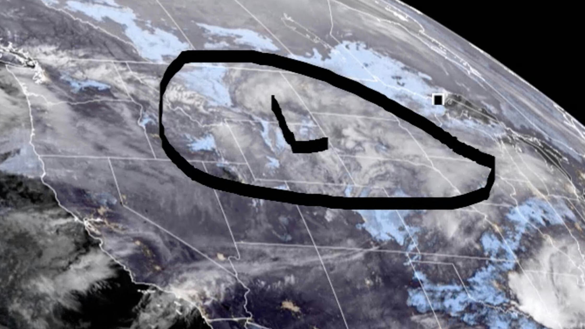
It’s Thursday, March 9 – It’s another day of below normal temperatures, although a little warmer than yesterday, with winds remaining mainly light to moderate. However, this won’t last. The National Weather Service predicts that today will be the lull before the really active weather comes in late tonight and Friday.
Central:
Riverton can expect some patchy fog before noon, otherwise mostly sunny, with a high near 25 and wind chill values as low as -10. Patchy fog is expected this morning in Casper, otherwise mostly cloudy, then gradually becoming sunny, with a high near 33; breezy, with gusts as high as 26 mph. Patchy fog is expected in Shoshoni before 11am, otherwise mostly sunny, with a high near 23 and wind chill values as low as -15.
Increasing clouds overnight in Riverton, with a low around 1 and wind chill values as low as -10. Casper will see increasing clouds overnight, with a low around 19; breezy, with gusts as high as 23 mph. Increasing clouds tonight in Shoshoni, with a low around -2 and wind chill values as low as -10.
Southwest:
Partly sunny in Evanston today, then gradually becoming sunny, with a high near 29 and wind chill values as low as -4. Patchy fog this morning in Rock Springs, otherwise sunny, with a high near 30 and wind chill values as low as -5; breezy, with gusts as high as 28 mph. Mostly sunny today in Kemmerer, with a high near 27 and wind chill values as low as -15; breezy, with gusts as high as 23 mph.
Snow is likely in Evanston overnight (1 to 2 inches possible), with a temperature falling to near 19 by 8pm, then rising to around 30 during the remainder of the night and wind chill values as low as 4; windy, with gusts as high as 49 mph causing patchy blowing snow conditions. There’s a 20 percent chance of snow showers overnight in Rock Springs, with a low around 11. Kemmerer has a 50 percent chance of snow showers overnight (less than an inch possible), with a low around 9 and wind chill values as low as -10; breezy, with gusts as high as 21 mph.
Western Wyoming:
Alpine has a 30 percent chance of snow showers early this morning, otherwise partly sunny, with a high near 28 and wind chill values as low as -5. Mostly sunny in Pinedale today, with a high near 20 and wind chill values as low as -10. There’s a 30 percent chance of snow showers this morning in Thayne, then becoming partly sunny, with a high near 29 and wind chill values as low as -5.
3 to 5 inches of snow is expected overnight in Alpine, with a low around 17; breezy, with gusts as high as 20 mph. Snow showers are likely tonight in Pinedale, with a low around 4 and wind chill values as low as -10; new snow accumulation of 1 to 2 inches possible. Thayne can expect 2 to 4 inches of snow overnight, with a low around 16; breezy, with gusts as high as 20 mph.
Northwest:
There’s a 30 percent chance of snow showers early this morning in Jackson, otherwise partly sunny, with a high near 29 and wind chill values as low as -5. Mostly sunny in Dubois today, with a high near 30 and wind chill values as low as -5; breezy, with gusts as high as 24 mph. Yellowstone National Park can expect partly sunny skies today, with a high near 27 and wind chill values as low as zero; breezy, with gusts as high as 21 mph.
Jackson can expect 3 to 5 inches of snow overnight, with a low around 15; wind gusts as high as 21 mph could cause patchy blowing snow conditions before dawn. There’s a 40 percent chance of snow showers tonight in Dubois (less than half an inch possible), with a low around 15 and wind chill values as low as zero; breezy, with gusts as high as 20 mph. Snow showers are likely in Yellowstone overnight (1 to 2 inches possible), with a low around 19; breezy, with gusts as high as 21 mph.
Bighorn Basin:
Partly sunny in Worland today, with a high near 30 and wind chill values as low as zero. Partly sunny today in Cody, with a high near 29 and wind chill values as low as -5. Mostly sunny in Basin, with a high near 32.
Mostly cloudy overnight in Worland, with a low around 7 and wind chill values as low as -5. Mostly cloudy in Cody tonight, with a low around 15. Mostly cloudy tonight in Basin, with a low around 14.
North Central:
Buffalo can expect some patchy fog before 11am, otherwise partly sunny and blustery, with a high near 25; winds could gust as high as 23 mph. Partly sunny in Big Horn today, with a high near 26. There’s a 20 percent chance of snow early this morning in Sheridan, otherwise partly sunny, with a high near 26.
Mostly cloudy overnight in Buffalo, with a low around 12 and wind chill values as low as zero. Increasing clouds tonight in Big Horn, with a low around 11. Increasing clouds in Sheridan overnight, with a low around 7 and wind chill values as low as -5.
Northeast:
Newcastle can expect 1 to 3 inches of snow this morning, with a high near 29 and wind chill values as low as 8. There’s a 30 percent chance of snow this morning in Gillette, otherwise mostly cloudy, with a high near 24 and wind chill values as low as 6. 1 to 3 inches of snow is expected in Aladdin this morning, with a high near 26 and wind chill values as low as -1.
Mostly cloudy overnight in Newcastle, with a low around 12 and wind chill values as low as 5. Increasing clouds in Gillette overnight, with a low around 12 and wind chill values as low as 2; breezy, with gusts as high as 31 mph. Mostly cloudy tonight in Aladdin, with a low around 11.
Eastern Plains:
Mostly sunny and breezy in Wheatland today, with a high near 38 and winds gusting as high as 30 mph. There’s a 20 percent chance of snow early this morning in Douglas, otherwise mostly sunny, with a high near 35. Patchy fog is expected in Midwest this morning, otherwise mostly cloudy, then gradually becoming sunny, with a high near 28.
Increasing clouds overnight in Wheatland, with a low around 24. Douglas will see increasing clouds tonight, with a low around 13. Increasing clouds in Midwest overnight, with a low around 12 and wind chill values as low as zero; breezy, with winds gusting as high as 20 mph.
Southeast:
There’s a 20 percent chance of snow this morning in Laramie, then becoming sunny, with a high near 35; windy, with gusts as high as 45 mph. Sunny in Cheyenne today, with a high near 40; windy, with gusts as high as 50 mph. Partly sunny in Pine Bluffs today, then gradually becoming sunny, with a high near 40; windy, with gusts as high as 45 mph.
Increasing clouds overnight in Laramie, with a low around 22; breezy, with gusts as high as 30 mph. Partly cloudy in Cheyenne tonight, with a low around 20. Increasing clouds in Pine Bluffs tonight, with a low around 19.
South Central:
There’s a 20 percent chance of snow this morning in Saratoga, becoming mostly sunny, with a high near 27; breezy, with gusts as high as 35 mph creating patchy blowing snow conditions early. Mostly sunny today in Rawlins, with a high near 32 and wind chill values between zero and 10; winds gusting as high as 40 mph will cause blowing snow conditions. Sunny in Wamsutter today, with a high near 23 and wind chill values as low as -5; patchy blowing snow conditions this morning, with gusts as high as 31 mph.
Increasing clouds overnight in Saratoga, with a temperature falling to near 21 by 8pm, then rising to around 32 during the remainder of the night; breezy, with gusts as high as 30 mph causing blowing snow conditions. Rawlins can expect increasing clouds overnight, with temperatures falling to near 19 by 8pm, then rising to around 34 during the remainder of the night; breezy, with gusts as high as 25 mph causing patchy blowing snow. Increasing clouds in Wamsutter tonight, with a low around 10 and wind chill values as low as -10; breezy, with gusts as high as 31 mph.


