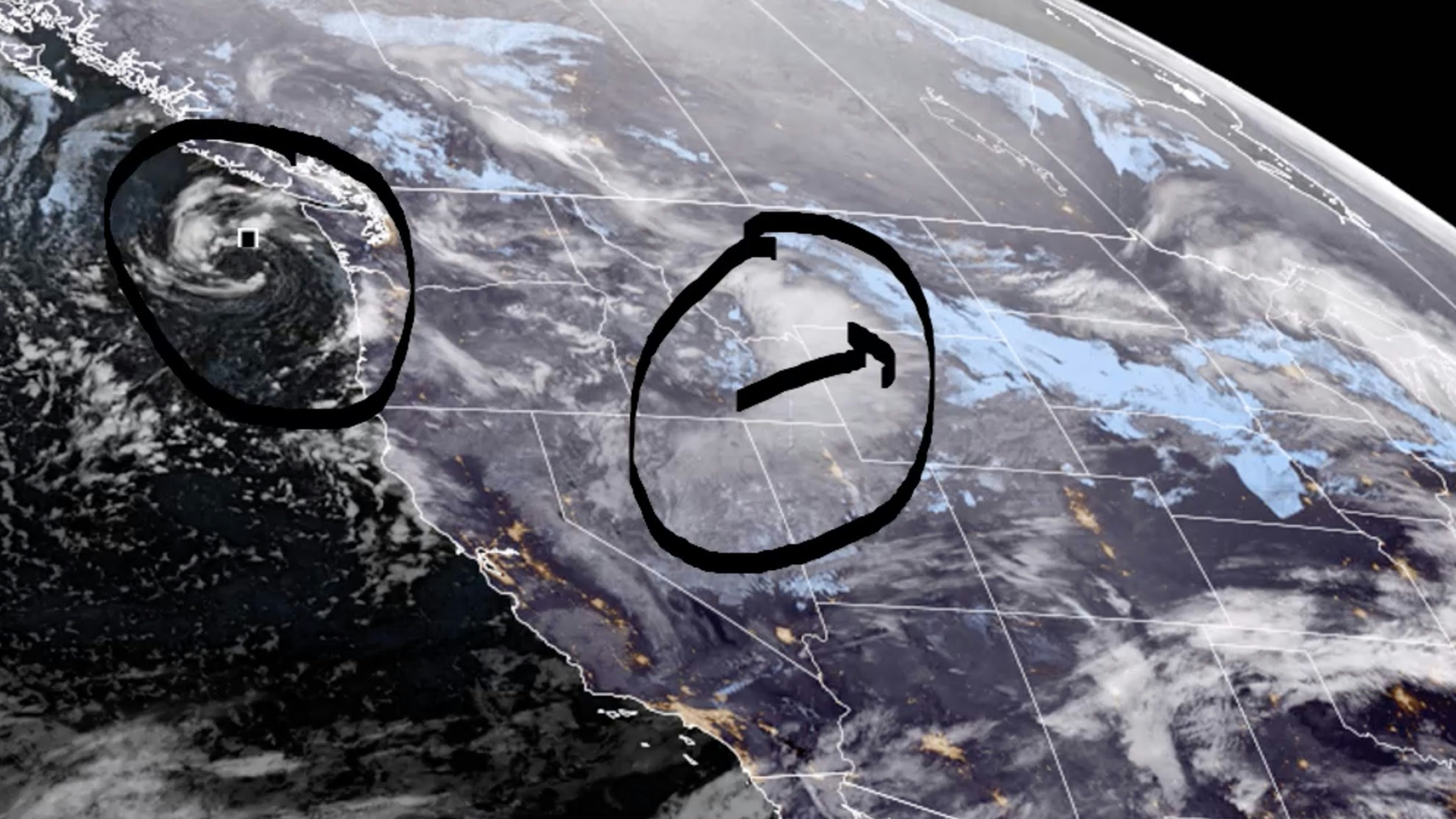
It’s Monday, March 6 – and snow is expected across the state and still cold. Wind chills will hit below zero in many locations.
Central:
Snow showers are likely in Lander this morning, then gradually becoming mostly sunny, with a high near 25 and wind chill values as low as zero; new snow accumulation of around an inch possible. Scattered snow showers today in Casper (less than half an inch expected), with a high near 33 and wind chill values as low as zero; breezy, with gusts as high as 28 mph. Snow showers are likely in Shoshoni today, then gradually clearing, with a high near 21 and wind chill values as low as -15; new snow accumulation of less than one inch possible.
Partly cloudy overnight in Lander, with a low around 1 and wind chill values as low as -5. Casper can expect scattered snow showers tonight, with a low around 16. Mostly cloudy in Shoshoni overnight, with a low around -7.
Southwest:
Green River can expect isolated snow showers early this morning, then becoming partly sunny, with a high near 25; breezy, with gusts as high as 26 mph. There’s a chance of snow showers in Evanston today, with a high near 24 and wind chill values as low as 5; new snow accumulation of less than one inch possible. Scattered snow showers this morning over South Pass, then gradually becoming sunny, with a high near 18 and wind chill values as low as -10; breezy, with gusts as high as 24 mph.
Mostly cloudy overnight in Green River, with a low around 0. Mostly cloudy in Evanston tonight, with a low around 3. Partly cloudy tonight over South Pass, with a low around 3. Wind chill values as low as -10.
Western Wyoming:
Scattered snow showers are expected today in Alpine, with a high near 25. Scattered snow showers early this morning in Pinedale, then gradually becoming mostly sunny, with a high near 18 and wind chill values as low as -5. Thayne can expect scattered snow showers this morning, with a high near 26 and wind chill values as low as zero.
Mostly cloudy overnight in Alpine, with a low around -2 and wind chill values as low as -10. Pinedale can expect partly cloudy skies tonight, with a low around -6 and wind chill values as low as -15. Mostly cloudy tonight in Thayne, with a low around -2.
Northwest:
Snow showers are likely this morning in Dubois (less than an inch possible), then isolated snow showers are expected in the afternoon, otherwise partly sunny and breezy, with a high near 25; winds could gust as high as 26 mph. Jackson can expect scattered snow showers this morning (expecting less than one inch), with a high near 26 and wind chill values as low as -10; breezy, with gusts as high as 20 mph. 1 to 3 inches of new snow is expected in Yellowstone National Park today, otherwise partly sunny, with a high near 25 and wind chill values as low as -5; breezy, with gusts as high as 26 mph.
Dubois can expect isolated snow showers this evening, otherwise partly cloudy, with a low around 3 and wind chill values as low as -10. Partly cloudy overnight in Jackson, with a low around -1 and wind chill values as low as -10. Mostly cloudy overnight in Yellowstone, with a low around 8 and wind chill values as low as -5.
Bighorn Basin:
Scattered snow showers possible in Cody this morning, otherwise mostly cloudy, with a high near 29. Lovell can expect scattered snow showers today, with a high near 33; total daytime snow accumulation of less than a half inch possible. Scattered snow showers expected in Ten Sleep today, with a high near 32; less than a half inch of snow possible.
Partly cloudy overnight in Cody, with a low around 9 and wind chill values as low as -5. Isolated snow showers expected in Lovell tonight, with a low around 12. Ten Sleep can expect isolated snow showers this evening, otherwise partly cloudy, with a low around 7.
North Central:
There’s a 50 percent chance of snow in Sheridan today, with a high near 29; new snow accumulation of less than a half inch possible. Clearmont has a 40 percent chance of snow today, with a high near 30 and wind chill values as low as zero; less than one inch of new snow possible. Snow is likely today in Dayton, with a high near 26; new snow accumulation of less than a half inch possible.
Sheridan has a chance of snow tonight, with patchy fog after 1am, otherwise, mostly cloudy, with a low around 7 and wind chill values as low as zero. There’s a chance of snow overnight in Clearmont, with patchy fog after 1am; otherwise, mostly cloudy, with a low around 6 and wind chill values as low as -5. Dayton has a chance of snow overnight with patchy fog after 1am, otherwise, mostly cloudy, with a low around 8.
Northeast:
There’s a 50 percent chance of snow in Gillette today, with patchy fog before noon, otherwise cloudy, with a high near 28 and wind chill values as low as 10; breezy, with winds gusting as high as 31 mph. 1 to 3 inches of snow is possible in Sundance this afternoon, with areas of fog before noon; otherwise cloudy, with a high near 28 and wind chill values as low as 5. Snow is likely in Hulett this afternoon (less than an inch possible), with patchy fog before 11am, otherwise cloudy, with a high near 29 and wind chill values as low as 11; breezy, with gusts as high as 23 mph.
Gillette has a 30 percent chance of snow tonight, with a low around 16 and wind chill values as low as 9; breezy, with gusts as high as 32 mph. Snow is likely tonight in Sundance (around an inch possible), with a steady temperature around 21 and wind chill values as low as 8; breezy, with gusts as high as 20 mph. There’s a 50 percent chance of snow tonight in Hulett, with a low around 14.
Eastern Plains:
There’s a 50 percent chance of snow in Torrington this afternoon, otherwise partly sunny and breezy, with a high near 38; winds could gust as high as 30 mph. Lusk has a 50 percent chance of snow today, with a high near 27. Kaycee could see less than an inch of snow today, otherwise mostly cloudy, with a high near 31.
Snow is likely overnight in Torrington (less than half an inch possible), with patchy fog after 2am; otherwise cloudy and breezy, with a low around 22 and gusts as high as 30 mph. 1 to 2 inches of snow is likely to fall in Lusk tonight, with patchy fog and a low around 17; breezy, with gusts as high as 30 mph. Mostly cloudy overnight in Kaycee, with a low around 8.
Southeast:
There’s a 30 percent chance of snow in Cheyenne today, otherwise partly sunny, with a high near 37. Snow is likely in Laramie today (less than half an inch possible), with a high near 37; windy, with gusts as high as 40 mph. Pine Bluffs has a 20 percent chance of snow this afternoon, otherwise mostly sunny and breezy, with a high near 37.
Cheyenne has a 50 percent chance of snow overnight, with patchy fog and areas of freezing fog; otherwise, cloudy, with a low around 18. There’s a 40 percent chance of snow overnight in Laramie, with a low around 12. Pine Bluffs has a 50 percent chance of snow tonight, with patchy fog after 1am, otherwise mostly cloudy, with a low around 17.
South Central:
There’s a 30 percent chance of snow in Rawlins today, otherwise partly sunny and windy, with a high near 32; winds could gust as high as 40 mph. Encampment has a 50 percent chance of snow today, with a high near 29; breezy, with gusts as high as 35 mph. Isolated snow showers are expected this afternoon near Wamsutter, with a high near 23 and wind chill values as low as -5; breezy, with gusts as high as 26 mph.
Mostly cloudy overnight in Rawlins, with a low around 11. There’s a 40 percent chance of snow tonight in Encampment; mostly cloudy, with a low around 15. Mostly cloudy tonight in Wamsutter, with a low around 7 and wind chill values as low as -5.


