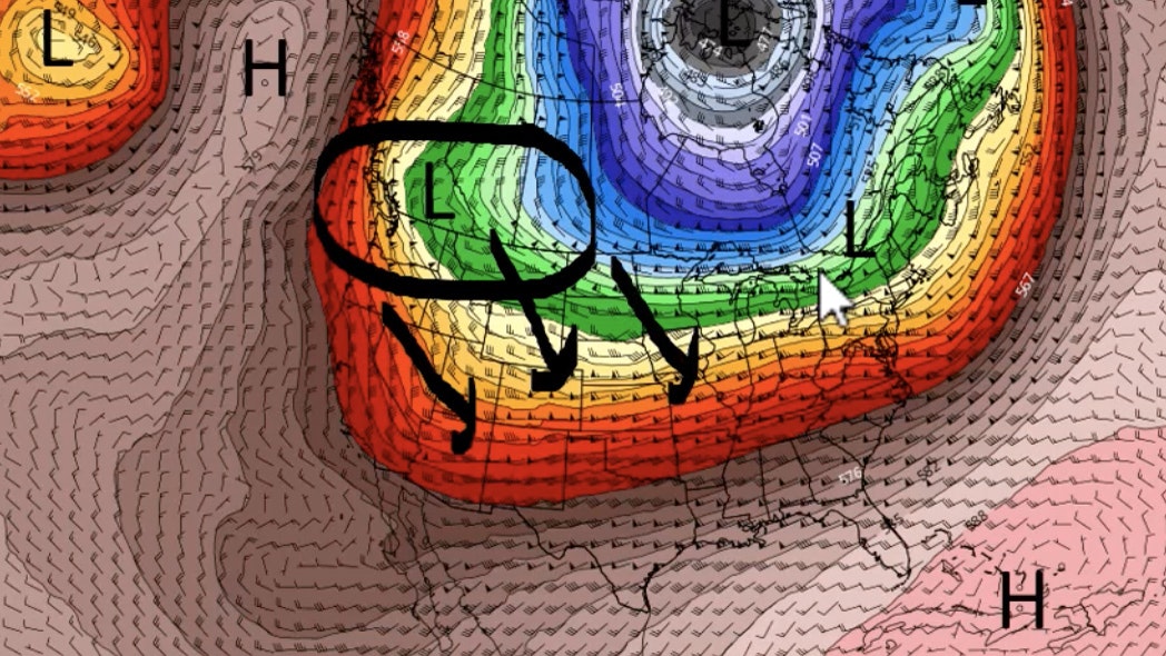
It’s Thursday, January 26th – and most of the state can expect cloudy skies, snow and wind today. There’s a strong weather system set to impact Wyoming late this week through the weekend, with substantial snowfall expected in the mountains. Yellowstone National Park will see total snow accumulations of 10 to 18 inches, and 2 to 4 feet is possible in the mountains. Amounts of up to 5 feet are possible in the Tetons.
Central Wyoming:
There’s a slight chance of snow near Casper today, with partly sunny skies and a high near 31. Windy, though, with gusts as high as 41 mph. Mostly sunny near Riverton, with a high near 26, and wind chill values as low as -10.
Tonight, expect mostly cloudy skies, with a 30 percent chance of snow and lows around 28 in Casper. Breezy, with gusts as high as 37 mph. Overnight, clouds will roll in near Riverton, bringing lows around 13, and gusty winds as high as 20 mph.
Southwest Wyoming:
Mostly cloudy near Evanston today, with a high near 22, but wind chill values as low as -3. Partly sunny in Rock Springs, with a high near 25, but wind chill values as low as -5. More sun over South Pass, with a high near 21, and wind chill values as low as zero. Wind gusts as high as 34 mph from South Pass to Rock Springs.
Cloudy skies in Evanston overnight, with temperatures around 19, and wind chill values as low as 2. A chance of snow in Rock Springs and over South Pass, though, with lows around 18, and winds gusting as high as 33 mph.
Western Wyoming:
A 40 percent chance of snow today near Jackson, with an inch of new snow possible. Highs near 21, and winds could gust as high as 23 mph, bringing wind chill values as low as -5. Mostly sunny in Dubois and in Pinedale, with highs near 19 in Pinedale and 31 in Dubois. Windy, with gusts as high as 26 in Pinedale and 48 mph in Dubois.
Snowy and windy tonight in Jackson, with gusts as high as 23 mph. Low temperatures around 18, and 1-3 inches of snow possible overnight. There’s a 30 percent chance of snow tonight in Pinedale and in Dubois, with lows between 9 in Pinedale and 22 in Dubois, and wind chill values as low as -5. Windy, with gusts blowing between 25 and 31 mph.
Bighorn Basin:
Mostly cloudy near Cody today, with a high near 39. Windy there, expecting gusts as high as 38 mph. There’s a 40 percent chance of snow near Greybull today – accumulation of less than one inch possible – with a high near 34. Worland has a slight chance of snow, with a high near 31.
Tonight, Cody can expect a 30 percent chance of snow, with a low around 28. Windy, with gusts as high as 40 mph. Greybull could get an inch of snow tonight, with lows around 20 degrees. Colder near Worland, with lows around 15 tonight, and a 40 percent chance of snow.
Northeast Wyoming:
A chance of snow showers before noon in Sheridan, then rain showers likely. Mostly cloudy, with a high near 42. Winds could gust as high as 41 mph. 2-4 inches of snow is expected in Sundance and in Newcastle, with highs near 33, and wind gusts as high as 31 mph.
Overnight, Sheridan can expect rain and snow, with a low around 27. Winds could gust as high as 44 mph. Snow is likely tonight in Newcastle and Sundance, with lows around 25, and wind chill values as low as 13. Winds there could gust as high as 35 mph. 1-3 inches of snow is expected overnight in Sundance.
Eastern Plains:
Cloudy and breezy near Douglas today, with highs near 35 and wind gusts as high as 40 mph. Snow is likely today near Wright, around an inch is possible. Highs will be near 33 and wind chill values as low as 8. Winds could gust as high as 33 mph. There’s a 30 percent chance of snow in Lusk today, but partly sunny with a high near 32, although wind chill values will drop between zero and 10. Winds near Lusk could gust as high as 45 mph.
Tonight Douglas has a 30 percent chance of snow, with lows around 20. There’s a 50 percent chance of snow near Wright, with lows around 23 and wind chill values as low as 12. There’s a chance of snow in Lusk tonight, with lows around 21. Winds could gust as high as 40 mph.
Southeast Wyoming:
Mostly sunny in Cheyenne today, with a high near 32, but wind chill values between -5 and 5. Winds could gust as high as 45 mph. Over the mountains in Laramie, though, skies will be mostly cloudy with highs near 26, but wind chill values between -10 and zero. Winds could gust as high as 40 mph there. Saratoga has a 20 percent chance of snow, with highs near 24, and wind chills between -5 and 5. Winds near Saratoga could gust as high as 25 mph.
Overnight, Cheyenne can expect mostly cloudy skies with a low around 22, while Laramie and Saratoga have a 40 percent chance of snow. Lows in Laramie and Saratoga will reach around 15, but wind chill values will drop between zero and 5. Winds could gust as high as 25 mph in Saratoga and 50 mph in Laramie.


