Although it’s been shorts weather for weeks and tourists are flocking to Yellowstone and Grand Teton national parks, the calendar says summer officially begins Thursday.
Guess that means it’s still officially winter, so nobody should be surprised the National Weather Service has Winter Storm Watches out for Yellowstone, the Beartooth Highway and north into Montana on Monday and Tuesday.
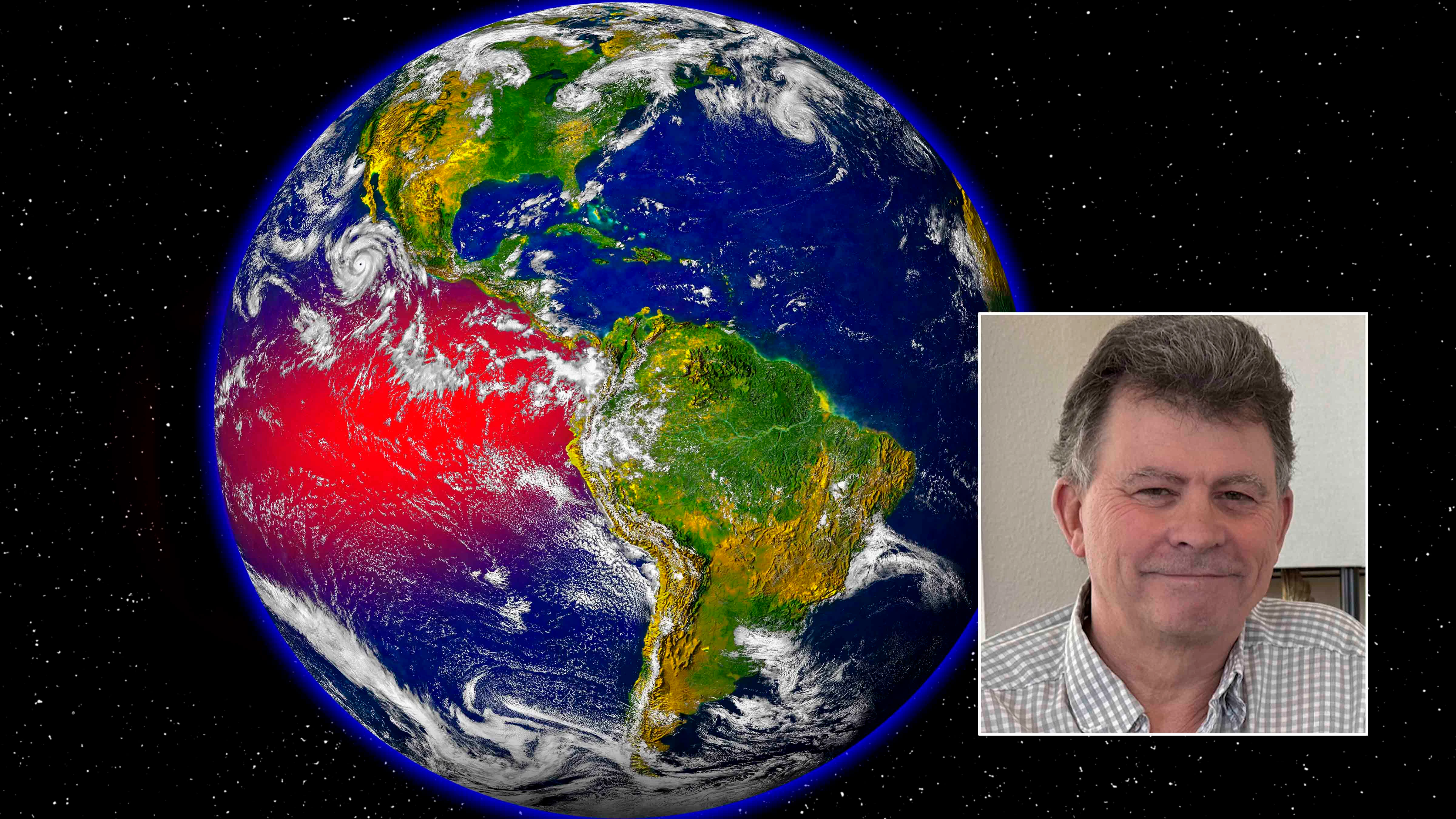
means there's just enough time for one more winter storm.
Areas of Glacier National Park at or above 6,000 feet elevation could get as much as 14 inches of snow, the agency reports. Some of that winter weather also could be seen in the higher elevations of northwestern Wyoming, causing snow flurries in Yellowstone National Park and across Beartooth Pass.
"A lot of people who visit Yellowstone aren't expecting to get snowed on in the middle of June, especially near the summer solstice," said Cowboy State Daily meteorologist Don Day. "But it's going to be cool and wet Sunday through Tuesday up in northwest Wyoming, and those higher mountain areas could get some snow at night."
Transitional Snow
This late blast of winter weather is the result of a transition in the Pacific Ocean, Day said. The El Niño that contributed to Wyoming's whiplash winter is transitioning to La Niña, which means a hotter, drier summer for the Cowboy State.
The impacts of that transition can be seen in southern Wyoming, which is already drying out after receiving below-average precipitation this spring. Meanwhile, Day said northern Wyoming might not undergo the same impacts until later this summer.
"The La Niña is something historically that has given us drier than normal conditions," he said. "For the southern and eastern parts of the state, that's certainly a concern now and for the rest of the summer. Northern Wyoming will benefit here for a bit longer with the weather pattern being wetter, but it could turn drier as well as we go into July and August."
The winter weather anticipated next week results from this transition in Pacific Ocean weather patterns. However, Day said Friday he thinks it’s a little too early to issue Winter Storm Watches based on next Monday's weather patterns.
"The NWS office in Montana is way ahead of this one," he said about issuing the watches. "It certainly does look as though the southwest Montana and northwest Wyoming mountains could see some snow late Monday into Tuesday with this front coming in, but this is a very far out for the issue of a watch."
Nevertheless, there's a good chance of colder temperatures and snow through the Northern Rockies, and Day said it could "definitely affect" Yellowstone.
"I think the highest likelihood of mountain snow will be in the western Montana mountains, the Sawtooths in Idaho, and the Yellowstone plateau," he said.
Northwest Wyoming's Winter In June
Day said mid-June cold fronts bringing snow to Wyoming aren't uncommon. However, that doesn't mean the entire Cowboy State will see snowfall next week.
"It's very much elevation-dependent," he said. "This is one of these situations where it's we're probably talking 9,000 to 10,000 feet and above, if it's cold enough. If you're up in the higher mountain areas, you're going to notice, for sure."
The NWS hadn't released official snow level estimates by Friday, but Day said tentative projections suggest between 4 to 8 inches of snow could fall in the highest points of Yellowstone and the Beartooth Pass from Monday evening through Tuesday. Daytime temperatures might only be in the 40s, with freezing temperatures overnight.
The rest of northwest Wyoming will be noticeably cooler Tuesday. Daytime temperatures in Cody could be in the low 60s for most of next week, with a chance of precipitation every day.
During the same period, the Tetons could experience freezing temperatures and snow, with daytime temperatures in Jackson in the high 50s and low 60s. A few inches of snow could also fall in the Bighorn Mountains, but Day said it's still too early to tell.
"I'm not saying that it won't snow up there," he said, "but the pattern may not be as good for the Bighorns."