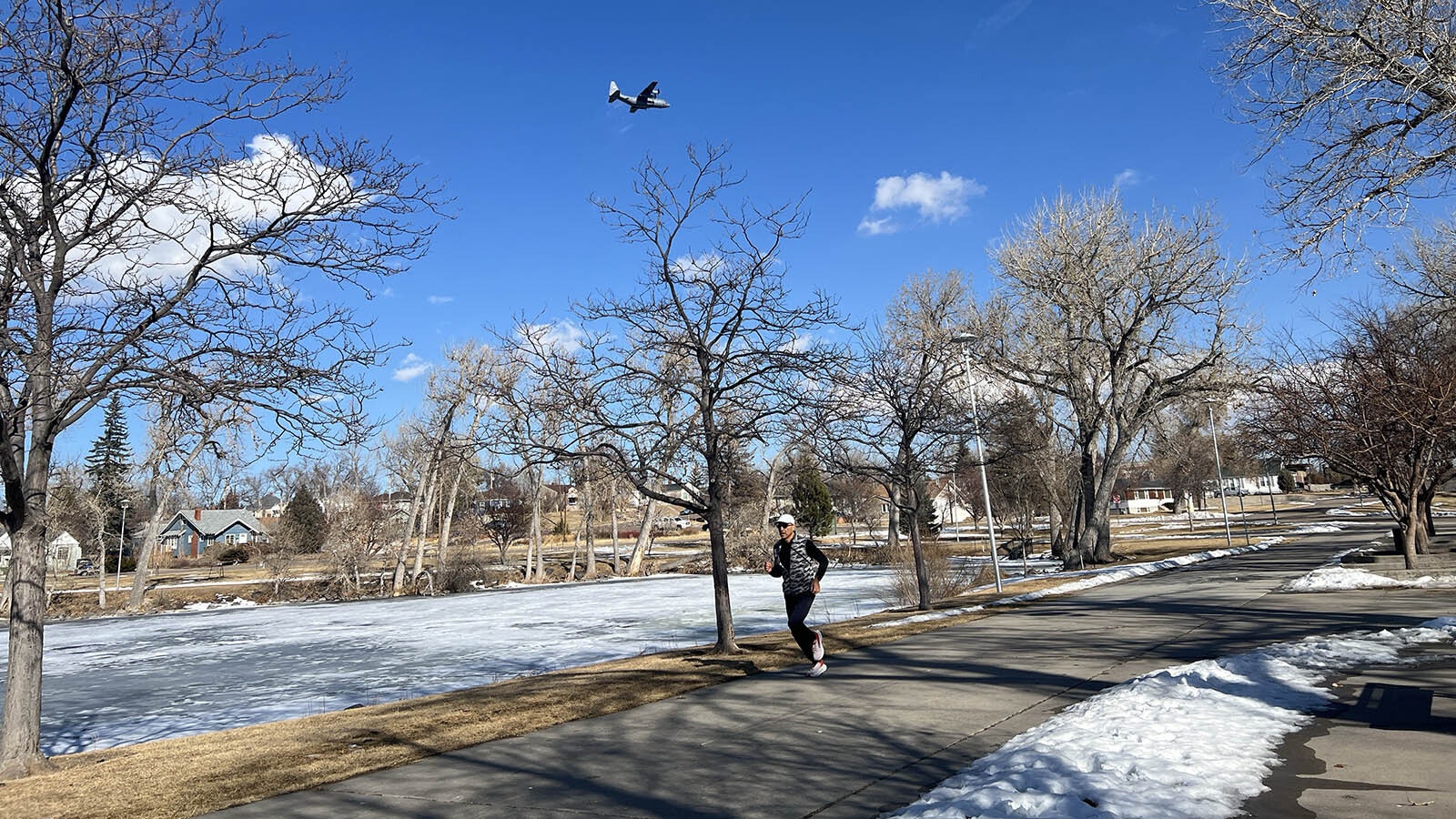
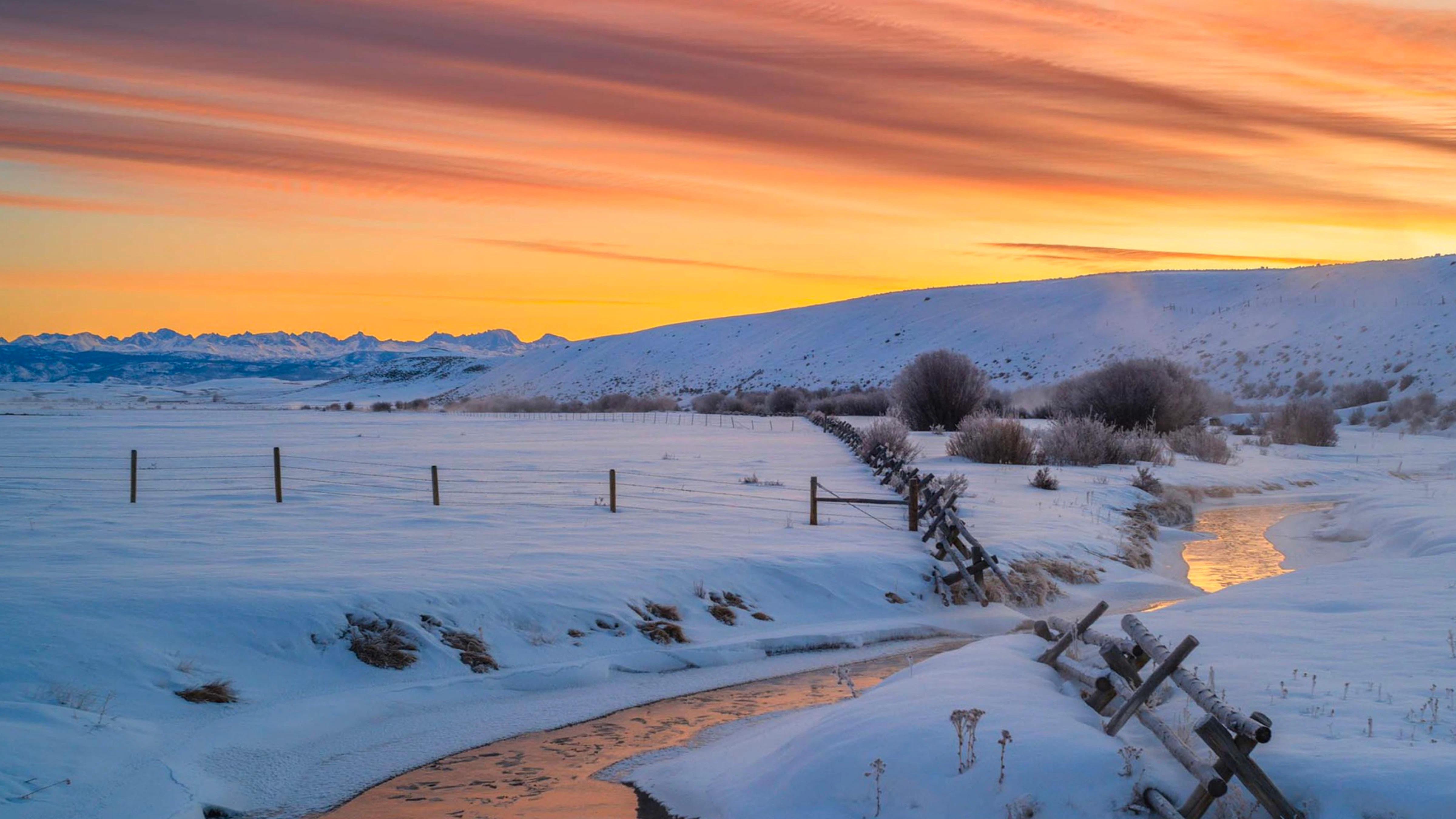
As Wyomingites continue to thaw out from a cold snap that brought wind chills of minus 50 or lower to some parts of the state, this winter’s Jekyll-and-Hyde pattern is going Jekyll again with forecasts for the first week of February calling for highs in the 50s in Casper and Cheyenne, and more than 60 in Sheridan.
So, what’s up with the weather this winter season swinging between extremes?
The short answer is El Niño, but plenty of normal Wyoming also wrapped up in that.
The 2023-2024 winter season started as an unusual Modoki El Niño, where ocean temperatures were warmer than usual and caused unseasonable warm weather before plummeting into a polar vortex. Now, the regular El Niño season is in full swing, which means the Cowboy State will be on a seasonal seesaw for the next few months.
Warm, Cold, Repeat
Cowboy State Daily meteorologist Don Day said Wyoming is finally settling into a more predictable weather pattern, which accounts for the outrageous temperature swings over the last several months.
“We're starting to see El Niño show itself in terms of the expected patterns to where it can get us into longer periods to where it's a little bit more unsettled,” he said.
While Day would describe the 50-plus-degree temperature swings in southern and central Wyoming as unsettled, he wouldn’t say they’re unusual. Historical data shows a pattern of extreme subzero swings followed by unseasonable warmth.
“If you were to look at Wyoming's winter climate, start to finish, you’d see winter is a series of ups and downs normally,” he said. “One reason we tend to go through these extremes is that we live in a part of North America where we're susceptible to different air masses coming in and dominating the weather.”
In December, the air masses crossing Wyoming came straight out of the Pacific, which led to generally milder conditions and warmer temperatures. Then, mid-January’s polar vortex brought cold Arctic air to the entire nation.
Day said Wyoming’s geographic position in the continental United States makes it a natural place for dramatic shifts in weather.
“If you look at other parts of the country, they don't have that volatility where their air masses come from,” he said. “The overriding factor concerns geography and where we are in reference to those source regions. The air and the weather we live in will be dictated by where it's coming from.”

Pacific Super Storms?
El Niño originates over the Pacific Ocean, so it dramatically impacts the West Coast. California is now bearing the brunt of what’s being called “thousand-year events” with intense rainfall.
A December storm in Oxnard, east of Los Angeles, resulted in a month’s worth of rain in less than an hour. This week, a similar storm drenched San Diego with the entire average rainfall for January in a few hours, which was too much for the city’s storm drains to handle.
California Gov. Gavin Newsom declared a state of emergency because of the flooding from the Oxnard and San Diego storms, and more havoc is expected from El Niño over the next several months.
Wyoming and California aren’t too dissimilar in their weather experiences, with long dry spells suddenly interrupted by intense precipitation, Day said, points out that extremes happen everywhere, and just because the weather’s calm in one place doesn’t mean it’s universally calm.
“Alaska is looking at record-breaking, severe, prolonged cold,” he said. “The high in Fairbanks on Friday is going to be minus 39. When you have these areas of one extreme, you always have to remember the opposite is happening somewhere else.”
Also, Day said memories tend to be short. After years of profound drought in California, getting a deluge of rain during the historically rainy season isn’t unusual, despite coming all at once.
Day doesn’t expect “1,000-year events” in Wyoming like California dreads. However, there is probably an erratic season ahead in the Cowboy State.
Calm Before The Storm
Based on his observations, Day expects the final days of January to be quiet. What that means in the long term is that this is just another calm before the next storm.
“I don't see bitter cold arctic air coming back in the next week or two, or next week or 10 days,” he said. “But after this warmer period, it will get stormy again. February, March and April are going to be very active with frequent chances for snow.”
That means the first few days of February will be 50 degrees or warmer for most of Wyoming. Anyone favoring colder climates can find 40-degree temperatures in Jackson, and it'll be in the high 30s in Rawlins and Wamsutter.
It’s too early to tell when the next winter storm will arrive. When it does, chances are it won’t be evenly distributed.
“I have to put an asterisk on that and say that I think the most active weather will be in central, southern and western Wyoming,” Day said. “There's going to be a bias of storms tracking from California and Nevada, Utah, Arizona, through those great basin states, then eastward, instead tracking from Washington, Oregon, across Idaho, Montana and northern Wyoming.”
But that’s not an aberration. That’s what El Niño does and will continue to do.
“Don't get used to one particular (weather) pattern for too long,” Day said, “That’s for sure.”
Andrew Rossi can be reached at arossi@cowboystatedaily.com.


