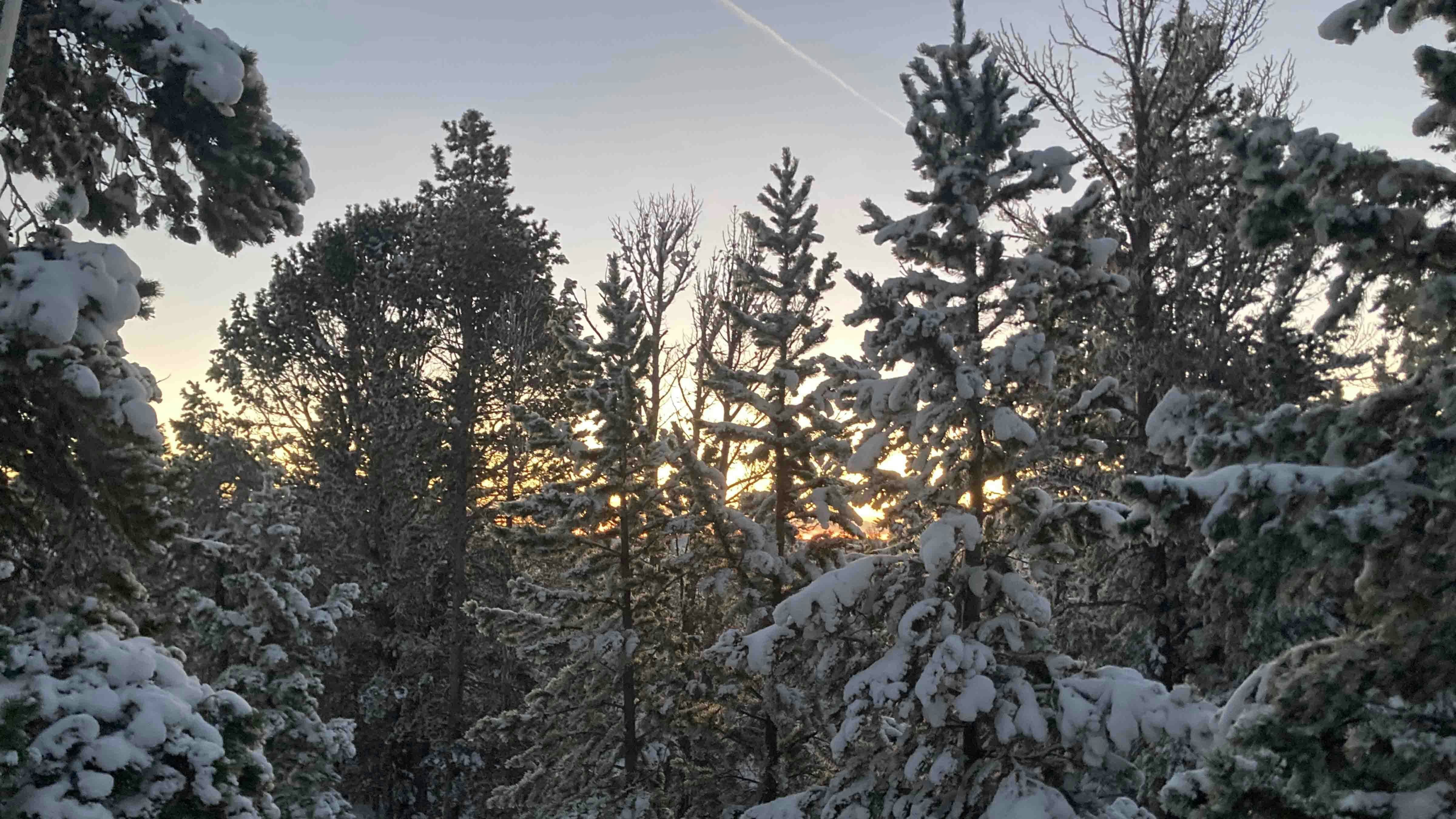
Winter storm warnings and winter weather advisories remain in effect for much of Wyoming on Friday with snow and blowing snow in some areas. Cold with highs mostly in the teens and 20s and lows mostly in the single digits.
Central:
Casper: There’s a winter storm warning in effect until 11 a.m. Snow is likely mainly before 10 a.m. with patchy blowing snow before 9 a.m. today and snow is possible overnight. Otherwise, expect it to be cloudy and breezy today with a high near 18 and cloudy overnight with a low near 7. Winds could gust as high as 30 mph during the day. Up to 3 inches of snow is possible.
Lander: There’s a winter storm warning in effect until 11 a.m. Snow is likely mainly before 1 p.m. today and snow is possible before 11 p.m. tonight. Otherwise, the high today should be near 21 and it should be cloudy, gradually becoming partly cloudy overnight with a low near 5. Up to 4 inches of snow is possible.
Shoshoni: There’s a winter storm warning in effect until 11 a.m. Snow, mainly before noon, is likely today and there’s a slight chance of snow before 11 p.m. tonight. Otherwise, the high today should be near 24 and it should be mostly cloudy overnight with a low near 5. Up to 3 inches of snow is possible.
Southwest:
Evanston: There’s a winter storm warning in effect until 5 p.m. Snow is likely, mainly before noon today with patchy blowing snow and there’s a slight chance of snow before midnight tonight. Otherwise, look for it to be cloudy and blustery today with a high near 23 and mostly cloudy overnight with a low near 5. Winds could gust as high as 38 mph during the day.
Green River: There’s a winter weather advisory in effect until 11 a.m. Snow is likely mainly before noon with areas of blowing snow today and snow is possible mainly after 9 p.m. tonight. Otherwise, look for it to be mostly cloudy and windy today with a high near 21 and mostly cloudy and blustery overnight with a low near 8. Winds could gust as high as 41 mph during the day and 26 mph overnight.
Cokeville: There’s a winter storm warning in effect until 11 a.m. Snow is likely mainly before 8 a.m. today. Otherwise, expect it to be mostly cloudy with a high near 25 today and mostly cloudy overnight with a low near 3.
Western Wyoming:
Pinedale: There’s a chance of snow mainly before 2 p.m. today, otherwise expect it to be mostly cloudy with a high near 25 and mostly cloudy overnight with a low near 3.
Afton: There’s a chance of snow mainly before 5 p.m. today and a slight chance before 8 p.m. tonight. Otherwise, look for it to be cloudy today with a high near 30 and mostly cloudy overnight with a low near 12.
La Barge: There’s a winter weather advisory in effect until 11 a.m. Snow is likely mainly before 9 a.m. today and there’s a slight chance before 2 a.m. overnight. Otherwise, it should be cloudy today with a high near 24 and mostly cloudy overnight with a low near -2. Up to 2 inches of snow is possible.
Northwest:
Dubois: There’s a winter storm warning in effect until 11 a.m. Snow is likely today mainly before 8 a.m., otherwise expect it to be mostly cloudy today with a high near 19 and mostly cloudy overnight with a low near 2. Winds could gust to 21 mph during the day.
Jackson: There’s a slight chance of snow before 8 a.m., otherwise it should be mostly cloudy and breezy today with a high near 32 and partly cloudy overnight with a low near 5. Winds could gust to 23 mph during the day.
Old Faithful in Yellowstone National Park: Look for it to be mostly cloudy today with a high near 25 and partly cloudy overnight with a low near 0.
Bighorn Basin:
Thermopolis: There’s a winter storm warning in effect until 11 a.m. Snow is likely mainly before 10 a.m. today and there’s a chance of snow mainly before 8 p.m. tonight. Otherwise, look for it to be cloudy today with a high near 23 and mostly cloudy overnight with a low near 7. Up to an inch of snow is possible.
Cody: There’s a winter storm warning in effect until 11 a.m. There’s a chance of snow before 11 a.m. today, otherwise it should be cloudy today with a high near 21 and mostly cloudy, gradually becoming clear overnight with a low near 9.
Ten Sleep: There’s a winter storm warning in effect until 11 a.m. There’s a chance of snow today and a slight chance before 2 a.m. overnight. Otherwise, expect it to be cloudy today with a high near 25 and mostly cloudy overnight with a low near 9.
North Central:
Buffalo: There’s a winter storm warning in effect until 11 a.m. There’s a chance of snow mainly before 2 p.m. today, otherwise it should be cloudy with a high near 20 and mostly cloudy overnight with a low near 8.
Sheridan: There’s a winter storm warning in effect until 6 a.m. There’s a chance of snow mainly before 11 a.m. today, otherwise look for it to be cloudy with a high near 29 and mostly cloudy overnight with a low near 10.
Dayton: There’s a winter storm warning in effect until 6 a.m. There’s a chance of snow mainly before 11 a.m. today, otherwise expect it to be cloudy with a high near 25 and mostly cloudy overnight with a low near 9.
Northeast:
Gillette: There’s a winter weather advisory in effect until 6 a.m. There’s a chance of snow today, otherwise expect it to be cloudy with a high near 19 and mostly cloudy overnight with a low near 6. Winds could gust as high as 21 mph during the day.
Newcastle: There’s a winter weather advisory in effect until noon. There’s a chance of snow mainly before 10 a.m. today, otherwise it should be cloudy with a high near 19 and cloudy overnight with a low near 9. Winds could gust to 16 mph during the day.
Hulett: Look for it to be mostly cloudy today with a high near 26 and mostly cloudy overnight with a low near 12.
Eastern Plains:
Torrington: There’s a winter storm warning in effect until 11 p.m. Snow is near certain today and there’s a chance of snow before 11 p.m. tonight. Otherwise, the high today should be near 18 and it should be mostly cloudy overnight with a low near 4. Up to around 3 inches of snow is possible.
Lusk: There’s a winter storm warning in effect until 11 p.m. Snow is likely mainly before 11 a.m. today and there’s a chance of snow before 11 p.m. tonight. Otherwise, it should be cloudy today with ahigh be near 13 and cloudy overnight with a low near 2. Up to around 3 inches of snow is possible.
Wright: There’s a winter storm warning in effect until noon. There’s a chance of snow today, otherwise expect it to be cloudy today with a high near 14 and mostly cloudy overnight with a low near 2. Winds could gust to 23 mph during the day.
Southeast:
Cheyenne: There’s a winter storm warning in effect until Saturday at 5 a.m. Snow, mainly before 11 a.m. is near certain today and there’s a chance of snow overnight. Otherwise, look for a high today near 13 and it should be cloudy overnight with a low near 4. Up to around 2 inches of snow is possible.
Laramie: There’s a winter weather advisory in effect until 11 p.m. There’s a chance of snow and patchy blowing snow mainly before 8 a.m. today and a chance of snow overnight. Otherwise, it should be mostly cloudy and breezy today with a high near 15 and mostly cloudy overnight with a low near 5. Winds could gust as high as 35 mph during the day.
Pine Bluffs: There’s a winter storm warning in effect until Saturday at 5 a.m. Snow, mainly before 11 a.m. is near certain today and there’s a chance of snow mainly before 11 p.m. tonight. Otherwise, expect a high today near 16 and it should be cloudy overnight with a low near 4. Up to around 2 inches of snow is possible.
South Central:
Rawlins: There’s a winter storm warning in effect until 11 p.m. Snow and areas of blowing snow are near certain today and there’s a chance of snow overnight. Otherwise, expect it to be blustery today with a high near 18 and mostly cloudy overnight with a low near 6. Winds could gust as high as 30 mph during the day. Up to 4 inches of snow is possible.
Saratoga: There’s a winter weather advisory in effect until 11 p.m. There’s a chance of snow today and mainly after 11 p.m. tonight. Otherwise, look for it to be cloudy today with a high near 31 and mostly cloudy overnight with a low near 7.
Wamsutter: There’s a winter storm warning in effect until 5 p.m. Snow and patchy blowing snow are likely today and there’s a chance of snow overnight. Otherwise, it should be blustery today with a high near 18 and mostly cloudy and blustery overnight with a low near 4. Winds could gust as high as 33 mph during the day and 24 mph overnight. Up to about 3 inches of snow is possible.


