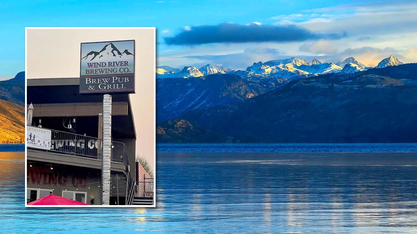
Record-low temperatures and rotary snowblowers working to clear 3-foot snowdrifts to reopen the Beartooth Highway sounds like late April, not late June. Yet that’s what Wyoming’s dealing with after another wave of late winter weather from Canada blew through over the weekend.
The Wyoming Department of Transportation reported Monday that it’s working to clear the 12 to 14 inches of snow, which drifted higher and closed U.S. Highway 212 over the weekend. Meanwhile, communities throughout Wyoming saw record-low temperatures Monday morning after a colder-than-average weekend.
The winter wave threw everything it had at Wyoming. Cowboy State Daily meteorologist Don Day described it as an “everything-but-the-kitchen-sink” storm.
“There’s been a wide variety of weather this (past) week,” he said. “I think it’s a reminder that we live in a very dynamic climate and that we’ve got to be prepared for just about anything. You’ve got to expect these ups and downs.”
Where There’s Snow
The surge of cold, moist air from the Gulf of Alaska descended on northwest Wyoming beginning Saturday and had covered the entire state by Sunday. WYDOT encountered snowdrifts up to 3 feet deep at higher elevationsas they worked to clear the Beartooth Highway on Monday.
Taylor Wittman with the National Weather Service Office in Riverton confirmed that most of the mountain ranges in western Wyoming received several inches of new snow between Saturday and Monday.
“We got a report of 2.5 inches at the peak of Togwotee Pass, which is what we expected in our forecast,” he said. “Using cameras and other tools, we saw many locations in Yellowstone and the mountains got snow.”
Checking webcams throughout the state, Day saw snow falling over Burgess Junction, Togwotee Pass and Old Faithful on Monday morning. Another webcam showed fresh patches of snow covering Yellowstone’s Mount Washburn at an elevation of 10,219 feet.
“There’s fresh snow on all of Wyoming’s northern and western mountain slopes, as well as Idaho and southwest Montana,” he said. “It was a pretty strong cold front.”
Record, But Not Unusual Lows
The cold front was still lingering over central Wyoming on Monday morning while record-low temperatures were reported throughout central Wyoming.
“Most of western Wyoming had a freeze warning on Sunday night, but they hit 32 degrees at Casper/Natrona International Airport,” Wittman said. “That’s notable because it hit the freezing mark east of the Continental Divide.”
That breaks Casper’s record-low temperature for June 23 of 38 degrees set in 1987. Riverton hit 39 degrees, breaking its record low of 41 degrees, while Worland and Rock Springs broke their records of 37 and 39,respectively set in 2019 with lows of 33 and 34 on Monday.
Wittman said that while the intensity of the cold snap is notable, it’s not unheard of to get freezing or near-freezing temperatures in late June.
“Although this was a potent cold system, we've seen these types of systems come through in the past,” he said. “It’s notable, and we did break some records, but we can still get snow in the mountains at this time of year.”
What’s Left And What’s Coming?
Day, who relies on historical data for his long-range forecasts, said late-season cold weather events like this tend to happen every five or six years. With history as a guide, there could be a lot more intense weather in the next few days.
“When a strong cold front like this comes through, it leaves behind moisture and cold air aloft,” he said. “That means we’re going to have to get through a couple of days of severe weather while the weather warms up.”
Wittman agreed with that assessment, saying everything’s on the table through Thursday.
“We could see some severe weather, hail, wind, maybe even an isolated tornado,” he said. “It could be especially severe in eastern Fremont, Converse and Natrona counties on Tuesday.”
That would contribute to the influx of hailstorms reported through Wyoming, Colorado and Montana in June. Some places reported baseball-size hail during intense supercell thunderstorms that caused tremendous property damage.
Day said Wyoming “dodged a bullet” by getting a relatively small amount of snow this weekend. Neighboring states weren’t so lucky.
“There was baseball-sized hail in the panhandle of Nebraska, not far from the Wyoming state line, on Sunday afternoon,” he said. “And they got at least a foot of snow on Logan Pass in Glacier National Park. It shows we should never assume one pattern is going to hold all summer.”
Andrew Rossi can be reached at arossi@cowboystatedaily.com.


