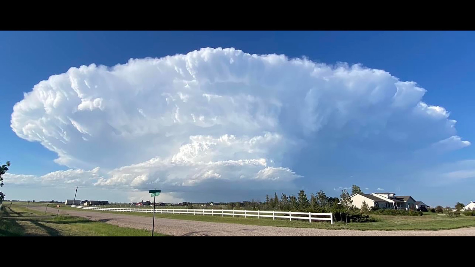
If you saw a humungous thunderhead hovering ominously over southeast Wyoming on Monday, you weren’t alone.
Cowboy State Daily meteorologist Don Day said he could see the giant cumulonimbus supercell 100 miles away.
“I was in Denver at 4:30 Monday afternoon and I could see it from there,” Day said.
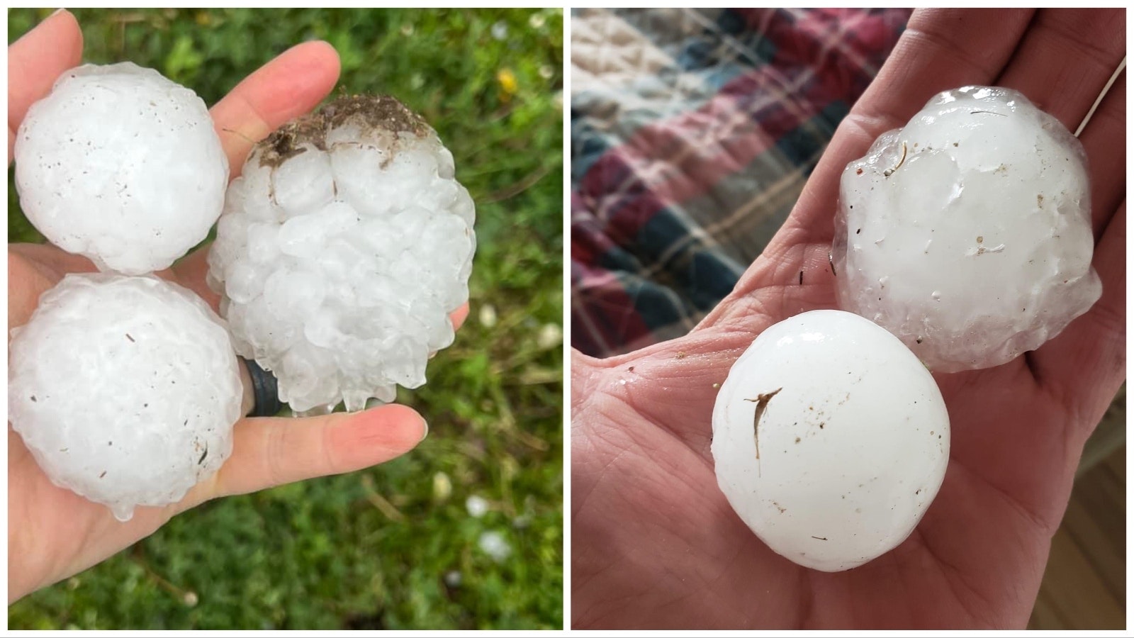
The storm not only prompted dozens of people to post photos of the dramatic formation on local social media, it dropped a couple of tornadoes and dangerous nearly baseball-sized hail in some areas northeast of Cheyenne.
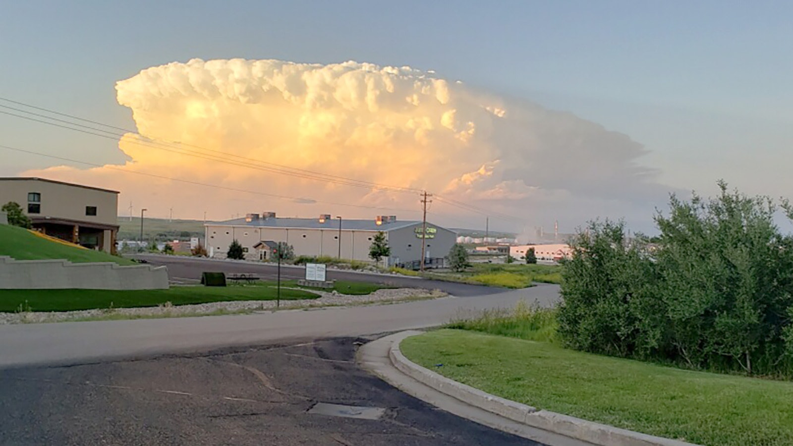
Along with the supercell over southeast Wyoming on Monday, people reported another visible from Casper.
The giant cloud banks that seem to hover ominously over the countryside like alien invaders look menacing — and they are, Day said.
“Those are the thunderhead clouds you’re seeing, and this is basically what happens when you get supercell thunderstorms, and you can see them from miles away,” he said.
It’s Because It’s So Wet
Asked whether Wyoming is having an especially volatile spring storm season or if the proliferation of smartphones and social media just make it seem like there are more of them, Day said that "the answer is yes to both.”
After two especially dry winters and springs that saw mild storm seasons, this past wet winter coupled with a wet spring has turned the knob on this year’s season to 11, he said.
“What you tend to see in wet years is there’s a correlation to that and having severe weather, and there’s good reason for that,” Day said.
He explained that extra moisture in the ground “creates a higher humidity environment this time of year. It doesn’t create the weather, but it helps and it can tip the scales.”
Invasion Of The Supercells
What that leads to is afternoons like Monday, where supercells wreak havoc across the Cowboy State, especially the eastern part of the state, Day said.
The supercell visible from Denver produced a couple of tornadoes, Day said, including one a storm chaser told him was about a half mile wide near Albin. It also produced very large hail.
The thunderhead visible in the northeast part of the state dropped hail measuring 2-2.5 inches southeast of Bill, “and there were a lot of reports of 1 to 1½-inch hail.”
Expect More Of The Same
For a weatherman, this aggressive thunderstorm season makes things exciting, but it’s not a surprise, Day said.
“You could kind of see it coming when you have a wet winter going into a wet spring,” he said, adding Wyomingites should expect to see more of the same.
“It’s not going to dry out for awhile,” he said. “I see a high risk of severe weather in many areas of Wyoming, at least probably through Friday, maybe Saturday. I think the next three days could be particularly bad, especially Thursday and Friday.”
Greg Johnson can be reached at greg@cowboystatedaily.com.


