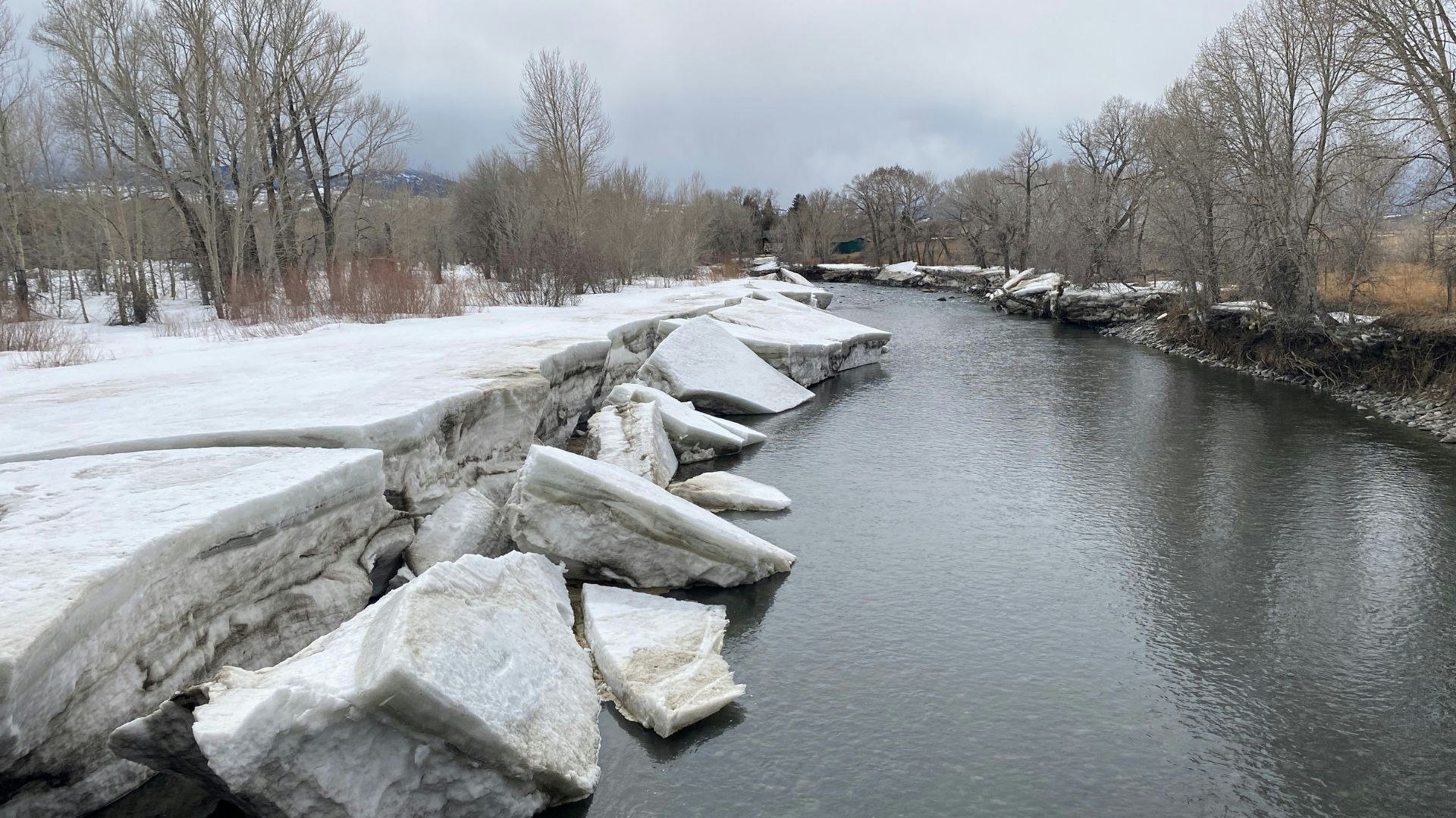
The last couple of months have seen near-record amounts of snowfall in higher elevations across much of Wyoming.
And what goes up, must come down.
“There’s a high probability of flooding in parts of Wyoming, where obviously the snowpack is the highest,” said Cowboy State Daily meteorologist Don Day. “It’s a foregone conclusion that the Plattes and the Little Snake and the Wind rivers, in terms of major rivers, are most likely to experience flooding.”
Lessons From the Flood
Last June’s devastating flood in Yellowstone National Park was the result of rain falling on significant snowpack, coupled with warming temperatures.
“The Yellowstone flood was a concentrated situation,” Day said. “That’s what happens when you get rapid snowmelt with rainfall and warmer temperatures.”
That scenario could play out again this spring, as the high country hasn’t yet had a chance to thaw slowly, he said.
“Usually by late March and early April, there’s a fair amount of snowpack that has melted out in the lower elevations,” Day said. “As long as it stays colder than normal, which it is likely going to do for at least two more weeks, we’re delaying the snowmelt.”
That means there’s a danger that it all could melt down at once when temperatures turn warmer.
“When you start to get into spring to where the nighttime temperatures in the mountains don’t go below freezing, and you get a 24-hour melt cycle going, that’s when a lot of water is going to be coming down,” Day said.
Jay Dallman with the U.S. Bureau of Reclamation agrees.
“If we get a big warm up that just stays warm, then we’ll have a relatively quick run-off of the snow that’s up there,” said Dallman. “But if we have warm days, but cool nights, so it can melt during the day but refreeze that night, and then the same thing the next day, then it’ll come off slower.”
Thirsty Reservoirs
Dallman told Cowboy State Daily that reservoirs in the Bighorn Basin are in good shape with a high storage content carryover from last year. As of March 1, Bighorn Lake is 79% full, as is Boysen Reservoir. Buffalo Bill Reservoir is at 72%.
According to predictions based on the most current information, Dallman said Bighorn Lake could rise to 104% of its 30-year average, while Boysen could reach a capacity of 800,000 acre-feet, which is 131% of the reservoir’s 30-year average.
“That’s why we’re making a little space in some of the reservoirs for the anticipated spring runoff, which appears to be a little above normal,” Dallman said.
But on the upper North Platte River, storage carryover is “pretty low,” Dallman said, so the bureau isn’t anticipating any spillover in that river basin.
“We don’t anticipate a spill at Pathfinder, for example,” he said.
Areas of Concern
Day said the biggest flooding concerns will be where there stretches of rivers that aren’t dammed.
“The ones that I’m most concerned about would be the Upper North Platte system, where the North Platte River starts in northern Colorado then goes through Saratoga, then by Sinclair,” he said. “It’s still a wild river until it hits Seminoe Dam – then once you get to the dam systems the reservoirs can pick up the slack.”
Day pointed out that this year’s snowpack levels are similar to 2011, when the Platte, Little Snake, Wind and Laramie rivers all significantly flooded.
Additionally, flash flooding is a big concern, Day said.
“Flash flooding in Wyoming, and in this part of the country actually, causes a lot of problems – and causes more fatalities than people realize,” he said. “When we get into these late spring, early summer thunderstorms and periods of rain, even a small creek could rapidly rise and go up.”
Day expressed considerable concern for people who plan to recreate near rivers and creeks in early summer.
“Going into the recreation season – camping, boating, rafting – all of those things – you want to keep your distance,” he said. “Don’t camp next to the creek, don’t camp next to the river. Camp on higher ground.”
Anything Could Happen
Day said the worst case scenario is rain on top of significant snowpack, and that could play out in the next couple of months.
“May on average is one of the wetter months in Wyoming,” he said. “So, I’m sitting here looking at an above-normal snowpack and a cold spring – and I think the flooding potential is certainly elevated, more so than we’ve seen probably since 2011.”
Dallman cautioned, though, that there’s no telling how weather patterns could manifest.
“If we start slowing down and we have below average snowfall from here on out, then (our predictions) could change downward,” said Dallman. “We could end up below normal. So it is in a state of flux, it’s dynamic.”

