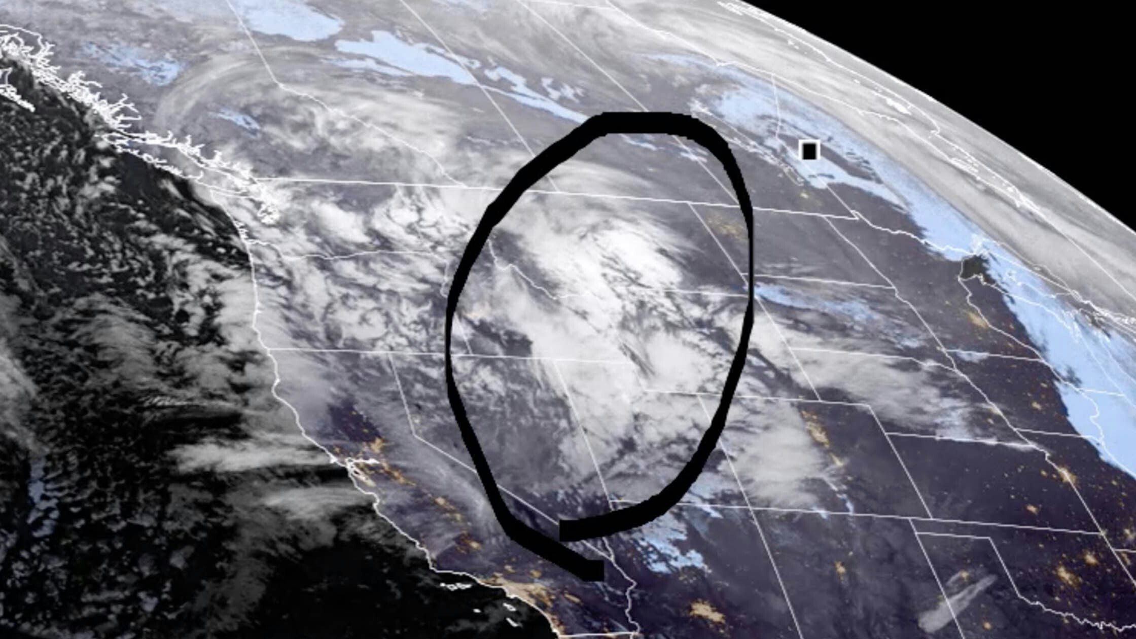
It’s Tuesday, February 28th – and roads are STILL closed north of Rawlins, while most of the other highways around the state have re-opened. Mountains in the west and north-central will see new snow today, and the wind will pick up in the usual locations around the Cowboy State.
Central:
There’s a 30 percent chance of snow showers in Lander this morning, otherwise mostly sunny and breezy, with a high near 27; winds could gust as high as 44 mph. Casper has a 30 percent chance of snow showers this morning, then gradually becoming sunny, with a temperature falling to around 28 by 5pm; windy, with gusts as high as 49 mph. Mostly cloudy in Shoshoni today, then gradually becoming sunny, with a high near 26; breezy, with winds gusting as high as 34 mph.
Mostly clear overnight in Lander, with a low around 2 and wind chill values as low as -10; windy, with gusts as high as 46 mph. Mostly clear in Casper tonight, with a low around 12; windy, with gusts as high as 44 mph. Partly cloudy in Shoshoni overnight, with a low around -8 and wind chill values as low as -20.
Southwest:
There’s a 30 percent chance of snow showers in Rock Springs this morning, then gradually becoming sunny, with a steady temperature around 20 and wind chill values as low as zero; windy, with gusts as high as 39 mph. Snow is likely this morning in Evanston (1 to 3 inches possible), then gradually becoming mostly sunny, with a steady temperature around 17 and wind chill values as low as -3; breezy, with gusts as high as 38 mph. Snow showers are likely in Cokeville this morning (1 to 2 inches expected), then gradually becoming mostly sunny, with a high near 16 and wind chill values as low as -10; windy, with gusts as high as 39 mph.
Partly cloudy overnight in Rock Springs, with a low around 1 and wind chill values as low as -5. There’s a 20 percent chance of snow tonight in Evanston, with a steady temperature around 13 and wind chill values as low as -5. Snow showers are likely in Cokeville tonight, with a low around 1 and wind chill values as low as -5; new snow accumulation of less than one inch possible.
Western Wyoming:
There’s a 30 percent chance of snow showers in Big Piney this morning, otherwise mostly sunny, with a steady temperature around 12 and wind chill values as low as -5; breezy, with gusts as high as 31 mph. Snow showers are likely this morning in Pinedale (around an inch possible), otherwise partly sunny, with a high near 16 and wind chill values as low as -5; breezy, with gusts as high as 31 mph. Thayne can expect 1 to 2 inches of new snow today, with a high near 22; breezy, with gusts as high as 23 mph.
Big Piney has a 40 percent chance of snow showers overnight (less than half an inch possible), with a low around -8 and wind chill values as low as -15; breezy, with gusts as high as 21 mph. Snow showers are likely in Pinedale tonight, with a low around -2 and wind chill values as low as -10; new snow accumulation of less than one inch possible. Snow showers are likely tonight in Thayne, with a low around 7; new snow accumulation of around an inch possible.
Northwest:
Dubois can expect less than an inch of new snow this morning, then gradually becoming mostly sunny, with a high near 24; windy, with gusts as high as 43 mph. Snow showers are likely in Yellowstone National Park this morning (less than an inch), otherwise partly sunny, with a high near 24; breezy, with gusts as high as 33 mph. Around an inch of snow is expected to fall in Jackson today, with a high near 21; breezy, with gusts as high as 29 mph.
There’s a chance of snow showers overnight in Dubois (less than half an inch possible), with a low around 7 and wind chill values as low as -5; breezy, with gusts as high as 36 mph. Yellowstone has a slight chance of snow showers overnight, with a low around 7 and wind chill values as low as -5; breezy, with gusts as high as 28 mph. Snow showers are expected to drop 1 to 2 inches of new snow on Jackson overnight, with a low around 6.
Bighorn Basin:
Mostly cloudy and breezy today in Powell, with a high near 39; winds could gust as high as 36 mph. Partly sunny in Cody today, with a high near 34; very windy, with gusts as high as 55 mph. There’s a slight chance of snow showers today in Greybull, with a high near 36; breezy, with gusts as high as 25 mph.
Mostly clear in Powell tonight, then becoming mostly cloudy toward daybreak, with a low around 11; breezy, with gusts as high as 25 mph. Increasing clouds tonight in Cody, with a low around 12 and wind chill values as low as zero; windy, with gusts as high as 49 mph. Partly cloudy overnight in Greybull, with a low around 7.
North Central:
There’s a 20 percent chance of snow in Sheridan today, with a high near 37; breezy, with winds increasing to near 21 mph in the morning. Buffalo has a 30 percent chance of snow showers, with a high near 36; windy, with gusts as high as 38 mph. Less than half an inch of new snow is possible near Dayton today, with a high near 35; breezy, with winds from 15 to 20 mph.
Overnight, Sheridan has a 20 percent chance of snow, with a low around 8. Partly cloudy tonight in Buffalo, with a low around 13; breezy, with gusts as high as 31 mph. There’s a 20 percent chance of snow in Dayton tonight, with a low around 10.
Northeast:
There’s a 40 percent chance of snow in Gillette this afternoon, otherwise partly sunny, with a high near 37 and wind chill values as low as 16; breezy, with gusts as high as 32 mph. Moorcroft has a 40 percent chance of snow, otherwise partly sunny and breezy, with a high near 39 and wind chill values as low as 14; winds could gust as high as 32 mph. There’s a 40 percent chance of snow this afternoon in Newcastle, otherwise partly sunny, with a high near 40 and wind chill values as low as 18; windy, with gusts as high as 37 mph.
Mostly cloudy tonight in Gillette, then gradually becoming mostly clear, with a low around 13 and wind chill values as low as 4; breezy, with gusts as high as 25 mph. Mostly cloudy in Moorcroft tonight, then gradually becoming mostly clear, with a low around 11 and wind chill values as low as 3; winds could gust as high as 25 mph. There’s a 30 percent chance of snow this evening in Newcastle, then gradually becoming mostly clear, with a low around 13 and wind chill values as low as 5; breezy, with gusts as high as 28 mph.
Eastern Plains:
Mostly sunny and very windy today in Torrington, with a high near 47; winds could gust as high as 65 mph. Wright has a 30 percent chance of snow this afternoon, otherwise partly sunny and windy, with a high near 35 and wind chill values as low as 16; winds could gust as high as 47 mph. Mostly sunny today in Lusk with a high near 38; windy, with gusts as high as 55 mph.
Mostly clear in Torrington overnight, with a low around 19; breezy, with gusts as high as 35 mph. There’s a 10 percent chance of snow in Wright this evening, otherwise partly cloudy, with a low around 11 and wind chill values as low as 2; breezy, with gusts as high as 31 mph. Mostly clear tonight in Lusk, with a low around 13 and wind chill values between -5 and 5; windy, with gusts as high as 40 mph.
Southeast:
There’s a slight chance of snow today in Cheyenne, otherwise mostly sunny and windy, with a high near 41; winds could gust as high as 60 mph. Snow is likely in Laramie this morning (less than half an inch possible), becoming partly sunny, with a high near 34; windy, with gusts as high as 55 mph. There’s a HIGH WIND WARNING today in Medicine Bow, with winds gusting as high as 65 mph; there’s a 50 percent chance of snow this morning, then gradually becoming mostly sunny, with a high near 29.
Partly cloudy tonight in Cheyenne, with a low around 17; windy, with gusts as high as 40 mph. Partly cloudy in Laramie overnight, with a low around 11 and wind chill values between -5 and 5; breezy, with gusts as high as 35 mph. Medicine Bow can expect partly cloudy skies, with a low around -4 and wind chill values between -10 and -20; windy, with gusts as high as 35 mph.
South Central:
A HIGH WIND WARNING is in effect for Rawlins today, with gusts as high as 65 mph, along with a 50 percent chance of snow; skies will gradually become mostly sunny, with a temperature falling to around 20 by 5pm and wind chill values between zero and 10. 1 to 3 inches of snow and high winds are expected today in Encampment, with temperatures falling to around 17 by 5pm, and wind chill values between zero and 10; winds could gust as high as 50 mph. Wamsutter has a 30 percent chance of snow showers this morning, then gradually becoming sunny, with a temperature falling to around 15 by 5pm and wind chill values as low as -5; very windy, with gusts as high as 50 mph.
Partly cloudy overnight in Rawlins, with a low around 6 and wind chill values between -5 and -10; breezy, with gusts as high as 30 mph. Partly cloudy in Encampment tonight, with a low around 6 and wind chill values between -5 and -10; breezy, with gusts as high as 30 mph. Wamsutter can expect partly cloudy skies overnight, with a low around 4 and wind chill values as low as -10; breezy, with gusts as high as 23 mph.


