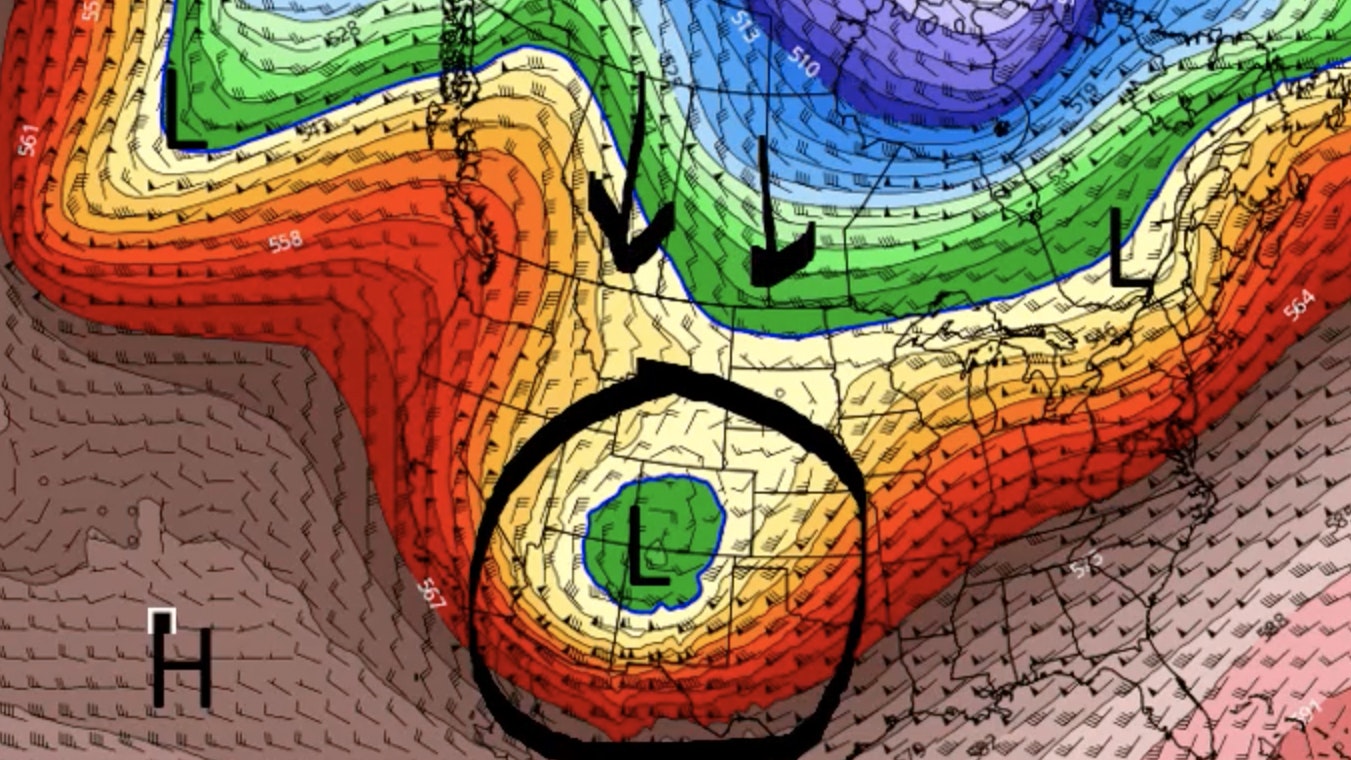
It’s Wednesday, February 8th – and winter is BACK. Snow and wind will increase across the state. The Bighorns and Natrona County have the best chances for accumulating snow today, with 3-12 inches expected in the western mountains.
Central:
Snow showers are likely in Casper later today, less than a half inch, with a high near 36; breezy, with gusts as high as 34 mph. Mostly sunny in Lander today, with a high near 29; windy, with gusts as high as 31 mph. Snow is likely in Glenrock this afternoon (less than half an inch), with a high near 36; breezy, with gusts as high as 35 mph.
Casper can expect about an inch of new snow tonight, with a low around 19; breezy, with winds gusting as high as 26 mph. Partly cloudy in Lander overnight, with a low around 6 and wind chill values as low as zero; blustery, with gusts as high as 26 mph. Snow is likely in Glenrock tonight (less than an inch possible), with a low around 16; breezy, with gusts as high as 30 mph.
Southwest:
A 30 percent chance of snow today in Evanston (less than a half inch), otherwise partly sunny, with a high near 27 and wind chill values as low as 4; breezy, with gusts as high as 34 mph. There’s a slight chance of snow showers this afternoon in Green River, with patchy blowing snow; otherwise mostly sunny and windy, with a high near 27 and wind gusts as high as 41 mph. Kemmerer has a 40 percent chance of snow showers (less than half an inch possible), otherwise partly sunny, with a high near 26 and wind chill values as low as zero; windy, with gusts as high as 39 mph.
Overnight, Evanston can expect partly cloudy skies, with a low around -1, and wind chill values as low as -9; winds could gust as high as 30 mph. Green River can expect patchy blowing snow this evening, otherwise mostly clear, with a low around -1 and wind chill values as low as -15; breezy, with gusts as high as 28 mph. Partly cloudy tonight in Kemmerer, with a low around -4 and wind chill values as low as -20; blustery, with gusts up to 21 mph.
Western Wyoming:
Snow showers are likely in Alpine this morning (1-3 inches expected), otherwise mostly cloudy and breezy, with a high near 23 and winds gusting as high as 31 mph. There’s a 40 percent chance of snow showers in Pinedale this morning (less than an inch possible), otherwise partly sunny, with a high near 19 and wind chill values as low as zero; blustery, with gusts as high as 40 mph. Snow showers are likely in Thayne today (less than an inch possible), then gradually becoming mostly sunny, with a high near 24; breezy, with gusts as high as 32 mph.
Partly cloudy overnight in Alpine, with a low around -1 and wind chill values as low as -10. Pinedale has a 10 percent chance of snow showers this evening, otherwise mostly clear, with a low around -6 and wind chill values as low as -25; blustery, with gusts as high as 24 mph. Thayne has a 10 percent chance of snow showers this evening, otherwise partly cloudy, with a low around -2.
Northwest:
Snow showers are likely in Dubois today (less than an inch possible), otherwise mostly sunny, with temperatures falling to around 21; windy, with gusts as high as 34 mph. Snow showers are likely in Jackson this morning (around an inch expected), gradually becoming mostly sunny, with a temperature falling to around 17 later in the day; windy, with gusts as high as 26 mph. At Mammoth Hot Springs in Yellowstone, snow showers are likely this morning (less than an inch possible), becoming partly sunny later in the day, with temperatures falling to around 21 by late this afternoon; blustery, with gusts as high as 26 mph.
Overnight, Dubois can expect mostly clear skies, with a low around 7 and wind chill values as low as -5; blustery, with gusts as high as 29 mph. Jackson has a 20 percent chance of snow showers this evening, otherwise partly cloudy, with a low around -5 and wind chill values as low as -20. There’s a 30 percent chance of snow showers at Mammoth this evening, otherwise partly cloudy, with a low around 5 and wind chill values as low as -5; winds could gust as high as 21 mph.
Bighorn Basin:
A slight chance of snow showers in Powell this afternoon, otherwise mostly sunny, with a high near 35; windy, with gusts as high as 22 mph. Basin can expect increasing clouds today, with a high near 37; breezy, with gusts as high as 31 mph. Mostly sunny in Cody today, with a high near 38; breezy, with gusts as high as 30 mph.
Partly cloudy overnight in Powell, with a low around 17; windy, with gusts as high as 36 mph. Basin can expect partly cloudy skies tonight, with a low around 11 and wind chill values as low as zero; blustery, with gusts as high as 36 mph. Partly cloudy tonight in Cody, with a low around 16; blustery, with winds gusting as high as 30 mph.
North Central:
Sheridan has a slight chance of rain and snow showers this morning, with the chance of snow increasing later in the day (less than half an inch possible) and a high near 38; winds increasing to 21 to 26 mph in the afternoon. Snow showers are likely in Big Horn today (less than half an inch expected), otherwise partly sunny, with a high near 40; windy, with gusts as high as 38 mph. Buffalo has a 50 percent chance of snow showers (half an inch possible), otherwise partly sunny and breezy, with a high near 37 and wind gusts as high as 38 mph.
Snow showers are likely in Sheridan tonight (less than an inch expected), with a low around 17; windy, with gusts as high as 45 mph. Big Horn has a 50 percent chance of snow showers overnight (less than an inch possible), with a low around 17; windy, with gusts as high as 48 mph. Snow showers are likely tonight in Buffalo (less than an inch possible), with partly cloudy skies and a low around 19; windy, with gusts as high as 50 mph.
Northeast:
A 50 percent chance of snow showers in Hulett today, with a high near 41 and wind chill values as low as 13; winds could gust as high as 22 mph. Snow showers are likely in Upton (less than half an inch possible), with a high near 39 and wind chill values as low as 13; winds could gust as high as 26 mph. In Gillette, snow showers are likely today (less than a half inch expected), with a high near 38; winds could gust as high as 28 mph.
Snow showers are likely overnight in Hulett (1-2 inches possible), with a low around 17 and wind chill values as low as 4; blustery, with gusts as high as 36 mph. Snow showers are likely in Upton tonight (less than an inch possible), with a low around 18 and wind chill values as low as 3; windy, with gusts as high as 47 mph. In Gillette, snow showers are likely (around an inch possible), with a low around 20 and wind chill values as low as 7; windy, with gusts as high as 50 mph.
Eastern Plains:
A 30 percent chance of snow in Douglas this afternoon, otherwise mostly sunny and breezy, with a high near 38 and wind gusts as high as 35 mph. There’s a 40 percent chance of snow in Lusk this afternoon, with a high near 38; breezy, with gusts as high as 35 mph. Guernsey has a 30 percent chance of snow this afternoon, otherwise sunny and breezy, with a high near 43; winds could gust as high as 35 mph.
Overnight, Douglas has a 50 percent chance of snow, with a low around 17; windy, with gusts as high as 45 mph. There’s a 50 percent chance of snow tonight in Lusk, with a low around 17 and wind chill values between zero and 10; windy, with gusts as high as 55 mph. Guernsey has a 40 percent chance of snow overnight, with a low around 22; windy, with gusts as high as 60 mph.
Southeast:
Sunny in Cheyenne today, with a high near 41; windy, with gusts as high as 45 mph. There’s a 30 percent chance of snow this afternoon in Chugwater, otherwise sunny, with a high near 39; windy, with gusts as high as 55 mph. Laramie has a 40 percent chance of snow this afternoon, otherwise sunny and breezy, with a high near 33; winds could gust as high as 35 mph.
Overnight, there’s a 30 percent chance of snow in Cheyenne, with a low around 16 and wind chill values between zero and 10; windy, with gusts as high as 45 mph. Chugwater has a 40 percent chance of snow tonight, with a low around 19; windy, with gusts as high as 45 mph. There’s a 50 percent chance of snow in Laramie tonight, with a low around 10 and wind chill values between -5 and 5; blustery, with gusts as high as 40 mph.
South Central:
There’s a 20 percent chance of snow this afternoon in Rawlins, otherwise mostly sunny and windy, with a high near 29 and wind gusts as high as 45 mph. Encampment has a 40 percent chance of snow this afternoon, otherwise mostly sunny, with a high near 31; breezy, with gusts as high as 35 mph. There’s a 30 percent chance of snow in Baggs later today, otherwise partly sunny, with a high near 31 and wind chill values between zero and 10.
Rawlins has a 40 percent chance of snow tonight, with a low around 5 and wind chill values between -10 and zero; breezy, with gusts as high as 35 mph. Snow is likely in Encampment overnight (around an inch possible), with a low around 9 and wind chill values between -5 and zero; winds could gust as high as 40 mph. Baggs has a 30 percent chance of snow this evening, with a low around -1; blustery, with gusts as high as 30 mph.


