Wyoming’s southeastern corner remained cut off from the rest of the world Tuesday as the state continued its efforts to dig out from Sunday’s record-breaking snowstorm.
Although portions of central and western Wyoming began to see traffic move again on the state’s highways, roads in and out of Cheyenne remained blocked by the heavy snow dropped by the blizzard.
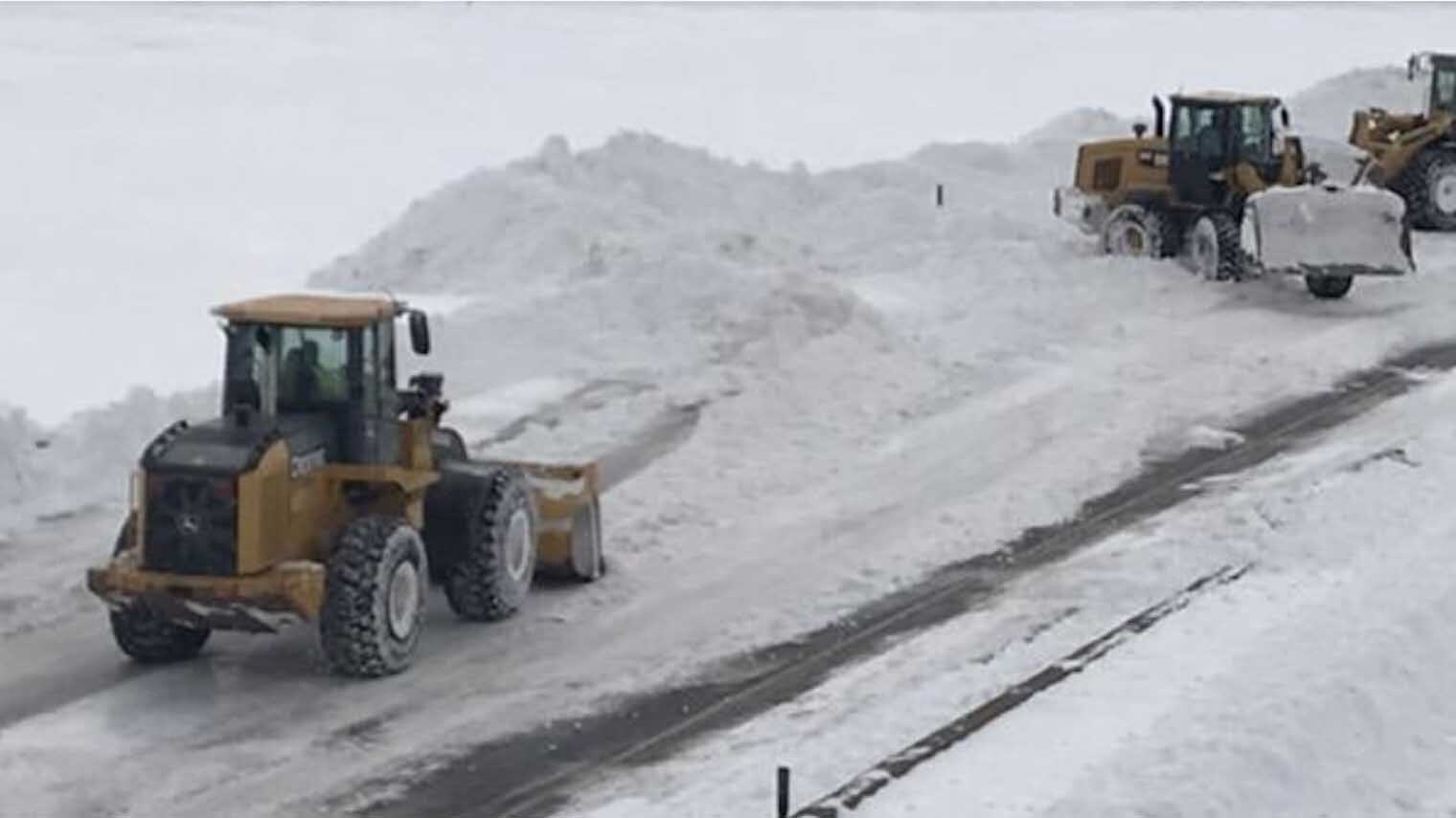
The storm forced the closure of Interstate 80 from Cheyenne west to Rock Springs and Interstate 25 from Cheyenne north to Buffalo on Sunday, but by Tuesday, roads north of Casper and west of Rawlins had reopened.
Interstate 25 between Cheyenne and Casper was expected to open Tuesday, but I80 west of Cheyenne was not expected to reopen until Wednesday.
Government offices and schools remained closed in Cheyenne on Tuesday and the Legislature, which rarely stops its work because of weather conditions, suspended proceedings for a second day as the city continued its efforts to clear the roads around the community.
The weekend blizzard left 31 inches of snow on Cheyenne, breaking a 42-year-old record, and the Cheyenne Police Department, on its Facebook page, predicted it could take city snowplow crews several days to finish clearing snow from the community’s roads.
Schools and offices were also closed in Goshen and Natrona counties, along with Wheatland.
Pine Bluffs, where 20 inches of snow fell during the weekend, had students attend school in virtual classrooms.
Weather conditions were expected to remain cool and unsettled until warming up on Thursday, according to meteorologist Don Day of DayWeather.
Day, in his daily podcast, said the state could expect some significant snow melting by Saturday.
“Between Thursday and Saturday we’re going to have a nice warm up, the snow will be melting, the sun will be out,” he said. “Unfortunately, don’t get used to it.”
Day said another storm front moving into the region from the Pacific could bring more rain and snow to the area.
“We may have a developing system on the plains Sunday night into Monday that will produce some rain and snow east of the (Continental) Divide in some areas,” he said. “Then there is another storm system possibly to contend with by the middle of next week.”


