With the majority of snowpack levels above average, Wyoming’s water supply for 2020 is looking healthy despite lower than normal precipitation forecast for February.
“Coming into early February, we’re not doing too bad,” said Jim Fahey, a National Oceanic and Atmospheric Administration hydrologist. “Overall, our reservoirs are above average, sitting around 120 percent to 130 percent. We’ve had a lot lower storage in recent years.”
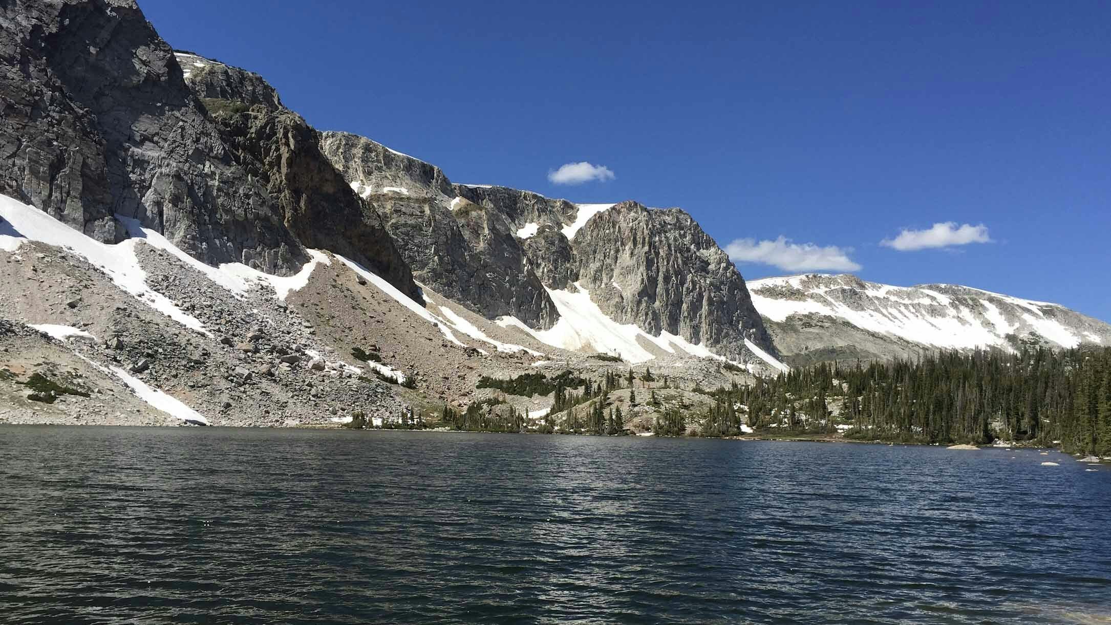
Snowpack feeds water supplies throughout the year as melting snow enters waterways around the state. Too little snow could require water supplements from the state’s reservoirs, Fahey said. Too much could lead to flooding.
“All our water is held up in snowpack until it melts,” Fahey explained.
Throughout the state, mountain snowpack is at about 100 percent to 115 percent of median, with the highest concentrations located in north central Wyoming containing snowpack at about 130 percent to 145 percent above median.
Sweetwater Basin in south central Wyoming recorded the lowest snowpack with levels at about 70 percent to 80 percent of median, NOAA reported.
“Right now, we don’t have any specific concerns about drought in Wyoming,” Fahey said.
National Weather Service Meteorologist Bill Mokry said the NWS models showed February could be drier than normal across the state, but the three-month outlook is a little more optimistic.
“Climatologically speaking, there’s a decent chance for below normal temperatures and precipitation through February,” Mokry said. “The climatological models that we run out past our typical seven-day forecast are picking up on a couple signatures … a colder arctic air mass coming in and some drier conditions following that.”
While December through February is typically a dry period, he said precipitation rates even out for February, March and April models.
“Looking at that time frame,” Mokry said, “we’re seeing equal chances of below or above normal precipitation.”
Streamflows during the runoff season are expected to be near normal for most of the state, but the Sweetwater and Upper Green basins could experience below normal streamflow volumes, NOAA documents state.
“That’s mostly due to a lack of snowpack in that area,” Fahey said. “Farming and ranching in the area could be impacted a little, but as far as the effect on the overall water supply, it’s not too significant.”
On the other side of spectrum, Fahey said the above average snowpack could lead to minimal flooding in a few areas.
“There could be minor flood problems on the Wind River Basin,” he explained. “We could see minimal problems with flooding on the Platte and Laramie rivers if it warms up too fast.”
The biggest problem is rain during the snowmelt season, which can quickly overload streamflows and reservoirs.
“We look at that every year,” Fahey said, “but, it’s a hard call, because it’s all about the timing.”
Fahey’s full water supply report can be viewed here (https://www.youtube.com/watch?v=fMb4j54TtjI&feature=youtu.be).


