Schools and non-essential government offices in Cheyenne will be closed on Wednesday due to predictions of a winter storm expected to bring up to 20 inches of snow to the high plains by Thursday morning.
Laramie County School District No. 1 officials announced Tuesday that classes would be canceled Wednesday because of the storm forecast to bring winds of up to 65 mph in addition to heavy snow.
“District officials typically do not cancel school based on a weather forecast,” the district said in a news release. “However, in this situation, anticipated storm impacts including heavy snow and sustained wind gusts will take place at the time when school would release. Our primary concern is the safety of our students, parents and staff.”
Cheyenne officials announced non-emergency offices would be closed Wednesday, while the Cheyenne Regional Airport canceled all flights for Wednesday.
“Based on what (the National Weather Service is) telling us, we’re already canceling all commercial flights in anticipation of closing down the airport, probably around mid-morning,” said Nathan Banton, the airport’s general manager for aviation.
The storm moving northeast toward Wyoming was expected to arrive late Tuesday evening, after a day that saw sunny skies and high temperatures in the low to mid-50s.
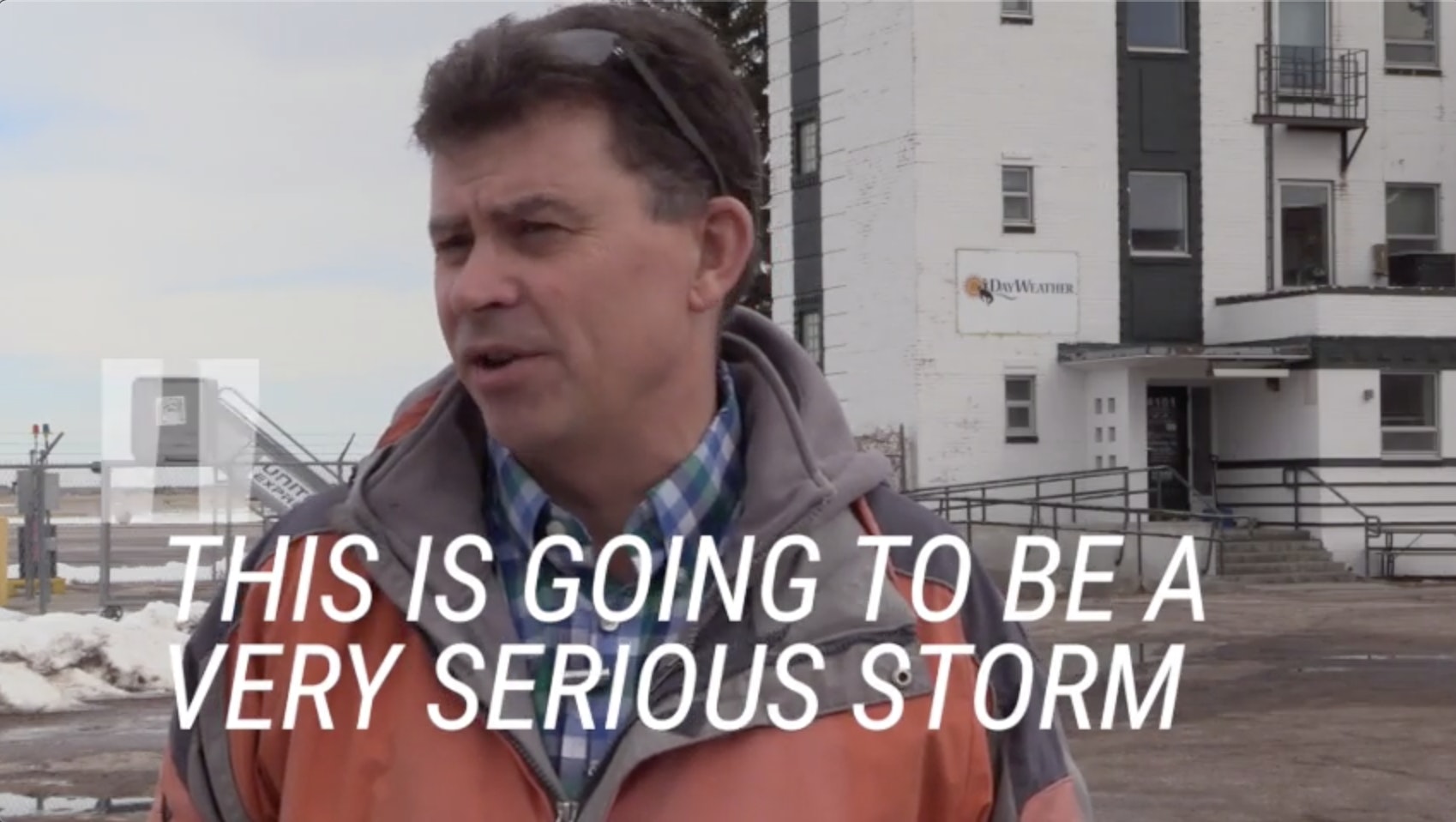
“We have … what I call a textbook March snowstorm,” said Don Day, a meteorologist and owner of Day Weather. “The type of snowstorm … where we get heavy snow, a lot of wind and then springlike weather before and after.”
Forecasts called for snow reaching 10 to 15 inches across much of the plains, spreading from Denver north to the Nebraska panhandle, with heavier amounts expected in the north, where accumulations could reach 20 inches.
The National Weather Service said the impact from the storm could be the most widespread seen in almost 40 years.
“With this storm, we’ve got 10 to 15 inches of snow over much of the plains and into the Dakotas,” said Richard Emanuel, a meteorologist with the National Weather Service in Cheyenne. “So the area of impact is quite broad.”
Government agencies worked through the day Tuesday to make sure emergency measures were in place for the storm.
Jeanine West, director of the Laramie County Emergency Management Agency, said her organization was working with state and county and city officials to determine how best to deal with workers should travel be affected by the snow. In addition, she said the organization was working with the Red Cross to make sure shelters would be ready if needed.
West said her agency was even working to make sure additional parking space would be available should the storm stop truck traffic through Cheyenne.
State officials had not made any decision to close operations in advance of the storm Tuesday, but were keeping a close eye on conditions.
“We’re just watching the weather,” said Rachel Girt, spokeswoman for Gov. Mark Gordon.
Travel conditions were expected to deteriorate through the day Wednesday and Kevin Malatesta, public information officer for the Cheyenne Police Department, urged people to avoid traveling at all during the storm.
“If you really don’t meed to be out on the road, don’t go out on the road,” he said. “You are creating a hazard by being out on the road and tying up resources if you are in an accident. Stay warm, watch some Netflix, knit a sweater, do whatever you need to do, but you don’t need to go out on the road. Things can wait.”


