

The mission of the Northern Rocky Mountain Grotto spelunkers sounds a lot like a Star Trek movie. They’re exploring an unfamiliar world, charting hidden passages and perhaps going where no one has gone before — as boldly as one can while crawling.
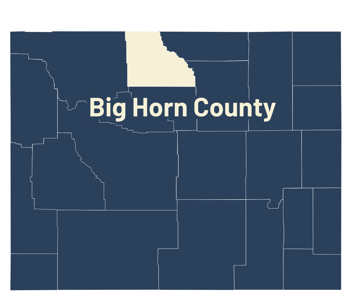
Their frontier isn’t somewhere out in space, though. It’s beneath the Wyoming-Montana border, inside the sprawling Bighorn-Horsethief cave system, 20 miles northeast of Lovell.
Since 2021, the cavers have been working to replace aging, incomplete maps of an underground maze that no one has fully explored. They’ve surveyed roughly 10 miles so far, and believe there’s much more waiting beyond what’s already been charted.
The Northern Rocky Mountain Grotto lists 14.615 miles of previously surveyed passage in the system, making it the longest cave system in Montana.
A separate geological account puts the combined length of Horsethief Cave and Bighorn Cavern at more than 20 miles, making it the longest in either Wyoming or Montana.
Indications so far are that it might extend much farther.
“This area is known to have a lot of cave density,” Grotto member Jason Forberg told Cowboy State Daily. “If the density continues to play out the way it probably will, we estimate there’s probably at least another 50 miles of passage.”
Bighorn Cavern and Horsethief Cave were once connected, but a concrete barrier was placed between them in the early 1970s. The barrier was installed to separate the portions of the system managed by different agencies.
For now, the Grotto is focusing on the Horsethief side. Finding every passage, though, is just part of the mission.
“There’s a difference between just exploring and caving recreationally versus mapping,” Forberg said. “It’s much slower. It’s more methodical. There’s a lot of documentation that has to go on.”
During a weeklong gathering in August, the group mapped 3 miles of passageway.
“Our goal is to continue that over the coming years,” Forberg said. “But if we’re only doing 3 to 5 miles a year, it’s going to take many, many years before we’re ultimately going to land there. There’s just a lot to explore.”
And the deeper into the cave the group goes, the longer it takes to begin surveying new areas.
“We anticipate that this is at least a 50-year project,” Forberg said. “If we do it right, I’ll probably be in my 60s, upper 70s before we are done.”

Northern Rocky Mountain Grotto are working to map Horsethief Cave, the longest cave in Montana and Wyoming.j (Courtesy, Northern Rocky Mountain Grotto) 
Northern Rocky Mountain Grotto pose for a photo at Horsethief Cave, which they are mapping.j (Courtesy, Northern Rocky Mountain Grotto) 
Two children on a mapping expedition with Northern Rocky Mountain Grotto pose with a formation in Horsethief Cave. (Courtesy) 
A membero f the Northern Rocky Mountain Grotto looks at a popcorn cave formation. (Courtesy, Northern Rocky Mountain Grotto) 
Horsethief Cave is Wyoming's longest cave. It's getting mapped by the Northern Rocky Mountain Grotto. (Courtesy, Northern Rocky Mountain Grotto) 
A member of Northern Rocky Mountain Grotto poses with a formation inside Horsethief Cave, Wyoming's longest cave. (Courtesy, Northern Rocky Mountain Grotto) 
A map of Horsethief and Bighorn caves on the Wyoming-Montana border. (Courtesy, Northern Rocky Mountain Grotto)
A Tight Squeeze
Horsethief is vast, but it is also cramped. In some passages, cavers must turn their heads sideways and worm between rocks that press on both belly and back.
People sometimes get stuck, BLM rangeland and cave management specialist Bryan McKenzie told Cowboy State Daily.
On one trip, a “fairly big dude” following McKenzie took a wrong turn.
The passage was too narrow to turn around. The man would have to back out.
“He kind of started freaking out and his chest kind of puffed up,” McKenzie recalled. “And as we were just sitting there, I’m like, ‘What is that pounding noise I hear?’”
“That’s my heart,” the man told him.
“I’m like, ‘Oh crap!’” McKenzie said. “But once he calmed down, he was able to squeeze his way back out and then go the right way.”
Reaching the Mind Bender Pool takes about an hour from the cave’s entrance if one knows the way. That’s an hour full of “serious grunting, squeezing, pulling, and crawling.”
“That’s my favorite part of the cave,” McKenzie said. “There’s water that drips from the flow stone and there’s actually pools of water that you kind of take a path around to check out the flowstone and the stalactites and stalagmites.”
Other places bear names left by earlier explorers. The Red Buddha Room. Grand Central Station. Key-Hole and Three Trolls.
There’s the White Dirt Maze, the Crack Where Water Comes Through, and Powder Mountain.
The latter is about a half-mile from the cave entrance. According to geologists, ash from Yellowstone’s Lava Creek caldera-forming eruption 640,000 years ago accumulated there through a crevasse once open to the surface. That opening is now blocked by karst rubble.
How A Cave Is Born
The rock surrounding those passages has a much older history.
Roughly 360 million years ago, during the Mississippian period, much of North America lay beneath a shallow sea. The skeletal remains and shells of ancient marine organisms accumulated there, eventually forming what is today known as the Madison Formation — a limestone formation more than 700 feet thick.
As the seas retreated, another force was helping to shape the future caverns. The Laramide Orogeny began uplifting the Rocky Mountains and the Madison Formation.
Limestone is particularly prone to cave formation. Slightly acidic rainwater dissolves the rock, gradually hollowing out passages and creating networks of caves. Water also deposits minerals inside the caves, building stalactites, stalagmites, cave popcorn, cave bacon, and other formations over thousands of years.
Much later, the cave offered shelter to people with something to hide.
Horsethief Cave got its name because it was once a haven for horse rustlers.
There was no real law enforcement in the area before Big Horn County was organized in 1897. Even afterward, the cave remained a convenient hiding place for outlaws. The cave mouth, at an altitude of 4,680 feet, offered gang lookouts a commanding view of the surrounding countryside.
More To Find
For the Grotto, the draw of the Bighorn-Horsethief cave system is what remains to be discovered.
“We want to expand an already great cave,” Forberg said. “The known cave system is fantastic, but we estimate there’s substantially more yet to be found.”
Mapping helps future cavers more safely navigate the cave. It also gives scientists a way to identify and reach the places they want to study.
“There’s a lot of scientific research that goes on in caves,” Forberg said. “Geologists are there, paleontologists. There’s climate research that’s going on in there. There’s water researchers who are going on and studying the minerals in the water, the history of the stalactites and stalagmites.”
The Grotto also helps guide scientists through the passages to their research sites.
An accurate map would help if someone needs to be rescued, McKenzie added.
“Our original map is from the mid ‘70s,” he said. “So, really, the map we’d give out to the public and even for us as search and rescue, it would be really hard.”
With a newer, more accurate map, finding someone who is lost would be both easier and safer.
“They can take the map and go right there really quick without wandering around,” McKenzie said.
Beyond the practical benefits, though, is the chance to boldly explore a final frontier with at least some places where no one has gone before.
Renée Jean can be reached at renee@cowboystatedaily.com.


