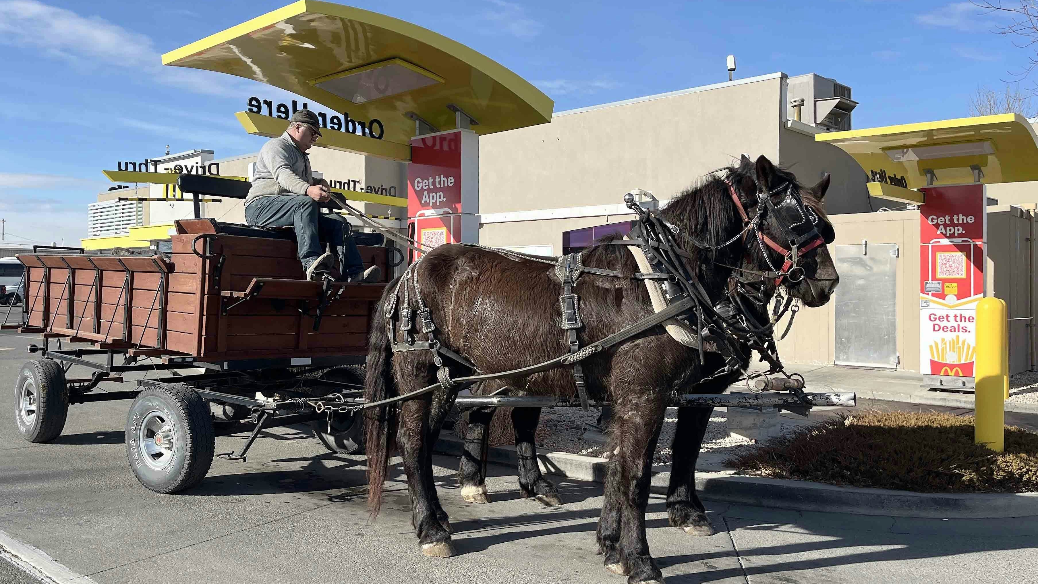
Like Rudolph the Red-Nosed Reindeer, Christmas 2025 in Wyoming will go down in history. Dec. 25 and the days preceding it were the warmest on record, by a significant margin, across the Cowboy State.
Meteorologists are still analyzing statewide Christmas temperatures, but the unusually warm December continued through the holidays. In some places with records going back more than 150 years, it was the warmest Christmas on record.
“We had seven high-temperature records broken in west-central Wyoming,” said meteorologist Adam Dziewaltowski with the National Weather Service (NWS) office in Riverton. “Temperatures have been 16 to over 30 degrees above normal for the whole month. It’s shocking."
Tropical-Like Records
On Dec. 24, Lander’s high was 65 degrees. The previous record was 55 degrees, making it the warmest Christmas Eve ever recorded there.
Dziewaltowski said the Lander records stand out, as temperatures have been recorded there since 1891. Similar temperatures were recorded on Dec. 25, although the true extremes are still being analyzed.
“Lander has had nine days in a row above 50 degrees and hasn't had a single high temperature below freezing for the entire month,” he said. “The lowest maximum temperature we have for December is 33 degrees, and nothing lower.”
Things were even warmer in Casper and Riverton, said Dziewaltowski.
“Casper hit 61 degrees on Christmas,” he said. “The previous record was 56 degrees in 1980.”
A high temperature of 55 was recorded at Central Wyoming Regional Airport in Riverton on Dec. 25. The previous record was 41, which was set in 2021 and matched in 2024, making it the warmest Christmas in Riverton’s documented history.
Dziewaltowski was surprised by the “shocking” disparity in temperatures throughout December. Temperatures weren’t only high, it was persistently warm.
“The average high for Lander is 33.3 degrees,” he said. “The average high for December right now is 50.9, with the next highest being 47.6 in 1933. That’s 17 degrees above the historical average.”
Meteorologist Matthew McLaughlin with the NWS office in Cheyenne said Dec. 25 was the warmest Christmas on record for all seven of the agency's long-term climate stations in Wyoming and Nebraska.
“It was a pretty warm one,” McLaughlin said. “We have records in Cheyenne that go as far back as 1875, and we’ve had four consecutive days of record-breaking highs.”
Cheyenne shattered its old record of 60 degrees set in 2005, with a high of 64 on Dec. 25. The old record for Dec. 24, 60 degrees in 1955, was broken on Wednesday with a high of 64.
Rawlins set its own record high of 48 in 2005, which was broken by a 53-degree high on Christmas. Its former record of 50 on Dec. 24, set in 1955, was broken by a 56-degree high Wednesday.
“It was a tropical-esque Christmas for most of Wyoming,” McLaughlin said.

Extreme Of The Extremes
Cowboy State Daily meteorologist Don Day didn’t have much to add to the analysis of Christmas’s record-breaking high temperatures. The numbers speak for themselves, he said.
“It's been crazy warm in Wyoming in December, without a doubt,” he said. “No one saw this coming.”
What’s kept Wyoming so warm throughout December are the high-pressure ridges in the jet steam, including a stubbornly persistent one hovering over the Bering Strait near Alaska, Day said.
He referred to them as “logjams” that have been funneling Arctic air elsewhere in North America.
“What's really extreme about this year is the extreme of the extremes,” he said. “You can plot the temperature anomalies all across North America. We're going to have some minus 30 this weekend right in Montana along the Canadian border, and another Arctic outbreak will hit the upper Midwest again.
"When you have extremes in Wyoming , the opposite is happening elsewhere.”
Day also referenced the extreme flooding reported in California and Oregon. It’s another result of the same stubborn logjams that have been consistently breaking temperature records in Wyoming.
“It’s excessively wet in California and the Pacific Northwest,” he said. “As of this morning, the snowpack in the Sierra Nevada went up to 170% of average because of all the snow they've been getting. It’s crazy.”
History’s Analogies
Day’s response to the record-breaking Christmas has been to comb through Wyoming’s historical records to see if there’s a comparable period in the past 30 years.
Day found one year that was “eerily similar” to December 2025, which might serve as an analogy for the next three months of winter.”
“December 2010 sticks out,” he said. “We had blocks in the Pacific and Greenland, and temperatures were about as warm as they are now. That’s the last time December was this warm on a statewide, regional basis.”
And what happened in January, February, and March 2011?
“Things started to get back to ‘average’ once the block went away in January, and February was severely cold,” he said. “There was tons of winter weather, but it wasn’t like a light switch. It was a process.”
Day saw a similar trend in the 2013-2014 winter season, but it wasn’t as strong an analogy as December 2010 and the first months of 2011. Granted, none of these are perfect analogies.
“It’s interesting that we’ve had similar situations in the past, but it's not a guarantee at all,” he said. “In those situations, the end result was a lot of winter after it was really warm in December.”
Statistical Anomaly
This Christmas was definitely one for Wyoming’s record books. What’s the takeaway from the unprecedentedly high temperatures on Christmas?
“I wouldn’t say it’s surprising, based on the pattern we’ve seen in December so far,” Dziewaltowski said. “What is surprising is how long it’s been this warm, and how we’ve consistently broken records by 10-15 degrees day after day.”
McLaughin said it’s too early to say that` this “statistical anomaly” of a Christmas season is anything but that. That verdict will be rendered by meteorologists working decades in the future.
“We’ve had warm, dry Christmas days across Wyoming,” he said. “We can’t really call it a trend, as we would have to see this pattern continue for the next 30 years. Then we can specifically and quantitatively call it a trend.”
Dziewaltowski and McLaughlin agreed that a change is likely on the horizon, but it’s too early to say how the rest of the winter will play out.
What most Wyoming meteorologists agree on is that December isn’t a reliable indicator of the winter yet to come.
“Has this or something similar to this happened before? Going back and looking at years prior, the answer is yes, but the anomalies in December are huge, without a doubt,” Day said.
Andrew Rossi can be reached at arossi@cowboystatedaily.com.


