And you thought last week's windstorm was intense.
The strongest wind gust recorded on Dec. 9 was 105 mph on the Chief Joseph Highway north of Cody.
The strongest wind recorded on Wednesday, as of 1 p.m., was 123 mph in Red Canyon near Lander. A 121-mph gust was recorded along the Salt River in Lincoln County that same morning.
"We had a sustained wind of 54 mph at Hunt Field Airport in Lander, with one brief gust of 92 mph," said meteorologist Lance VandenBoogart with the National Weather Service (NWS) office in Riverton. "That's pretty extreme for the Lander airport."
Once again, Wyoming's major highways were closed, in both directions, to all high-profile vehicles. Wyoming Highway 28 was closed to all vehicles due to "winter conditions."
"We have High Wind Warnings for basically the entire state," VandenBoogart said. "The few places that don't have a Winter Storm Warning instead, but that includes the threat of high winds."
Wyoming could actually consider itself lucky, by comparison. A wind gust of 142 mph was recorded at Coldwater Ridge, near Mount St. Helens in the southwest corner of Washington, and similarly-strong winds were recorded throughout the Pacific Northwest.
Unfortunately, these strong winds aren't the harbinger of snowstorms yet to come, and there could be more windstorms before the end of December.
"This is an even stronger system than last week's, and it's not done yet," VandenBoogart said
Blow, Blow, Blow
Windstorms like these are caused by the exchange of air masses over Wyoming. When warm Pacific air gets replaced by cold Arctic air, and vice versa, hurricane-force winds usually occur in the interim.
"There's warmer air near the equator and colder air near the poles, which means there's a powerful jet stream above our heads," VandenBoogart said. "That's causing a lot of high winds, and because of the intense temperature difference, those winds are being realized and making their way to the surface today."
This windstorm started strong. An average wind speed of 87 mph was recorded north of Red Canyon by 8 a.m. Wednesday.
VandenBoogart said the wind won't die down until the evening, but that doesn't mean they'll entirely ebb away. The rest of the week will be blustery, too.
"It's going to remain breezy tomorrow, and even on Friday," he said. "We'll have a little less wind over the weekend, but there'll be more moving air early next week."
The Wyoming Highway Patrol took the windstorm as an opportunity to remind semi-truck drivers that a driving on closed roads citation starts at $1,000 fines, while towing fees for blowovers can easily surpass $10,000. There were over 40 blowovers across Wyoming last week, with 21 reported on Tuesday alone.
Short Severe Snow
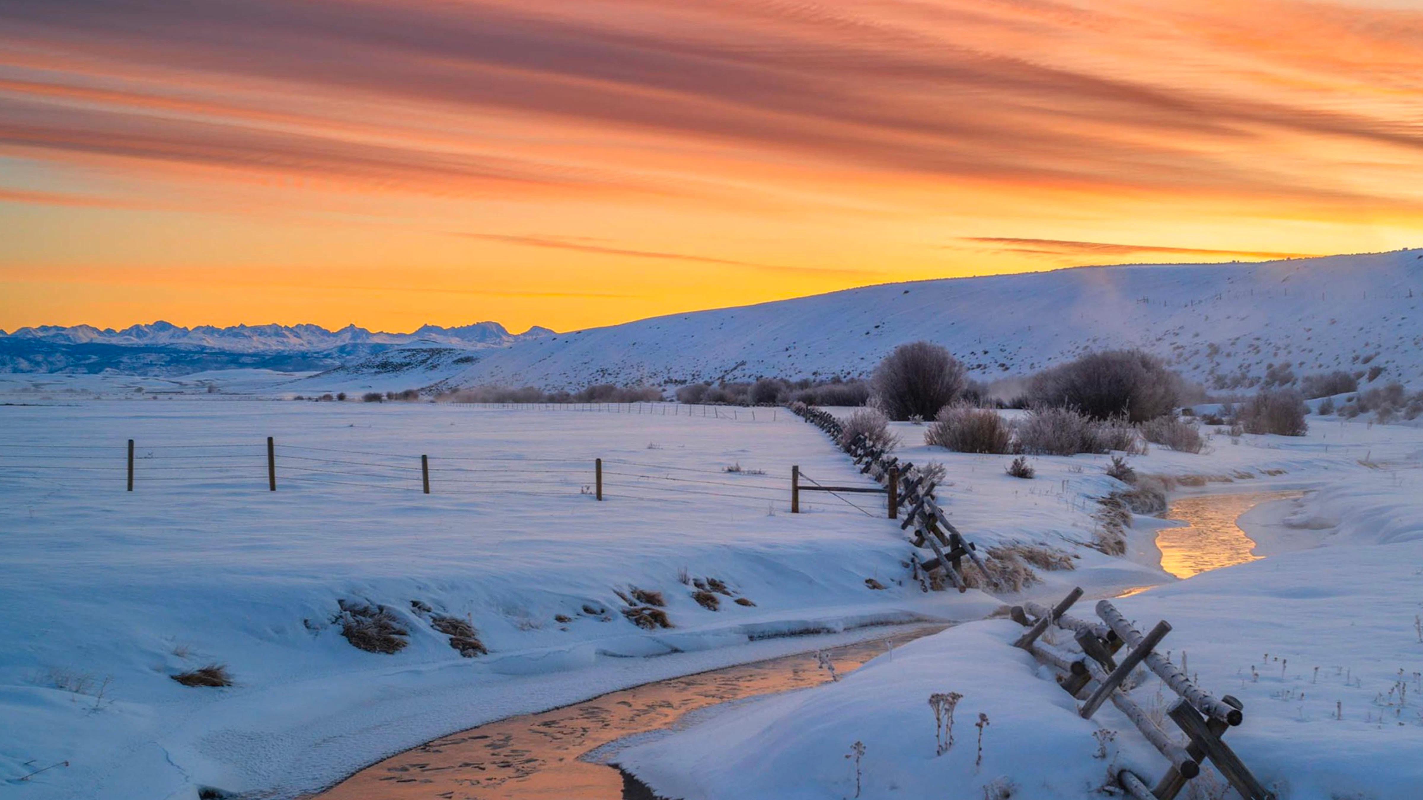
All the mountain ranges in western Wyoming were under Winter Storm Warnings on Wednesday, bringing much-needed snow to the high elevations. The NWS didn't have complete snowfall numbers as of Wednesday afternoon, but VandenBoogart said they were anticipating "a brief and intense shot of snow."
"We were forecasting snowfall rates of up to 2 inches per hour, which is a pretty significant rate," he said. "It's not a very prolonged system, and it'll have mostly moved through the area by later this evening, but every little bit helps."
Anyone planning to travel over the mountains should take heed. VandenBoogart warned that they could still encounter wind gusts over 90 mph during their drive.
"I wouldn't advise that anyone try going up and enjoying the mountain snow," he said. "There'll be whiteout conditions up there."
Tender And Fairly Mild
If hurricane-force winds herald the arrival of colder air, does that mean Wyoming will finally get a streak of winter weather? According to meteorologists, that's not likely in the short term.
"This jet stream has effectively spared Wyoming from the record-low temperatures being experienced elsewhere," said Cowboy State Daily meteorologist Don Day. "It's going to be a lot colder statewide on Thursday, but it'll go right back up again. There's not much potential for winter weather until this pattern breaks."
Even so, Thursday will still be warmer than average. VandenBoogart said daytime highs across Wyoming will be in the low 40s on Thursday, and that's notable.
"Our average high is around 30 degrees at this time of year," he said. "Even after this cold front comes through, we're going to be 10 degrees above normal."
Thursday will be one week until Christmas. Wyoming doesn't have a strong history of snow on Christmas, and VandenBoogart said the chances of a White Christmas aren't looking good.
"It doesn't look like we're going to get a big cooldown or widespread, low-elevation snow event pre-Christmas," he said. "The next seven days are going to stay fairly mild, even with the colder air moving in."
Andrew Rossi can be reached at arossi@cowboystatedaily.com.