Wyoming’s been blown over by winds as high as 105 mph on Tuesday. It’s a blustery pattern that’ll persist through the week and the ongoing winter season.
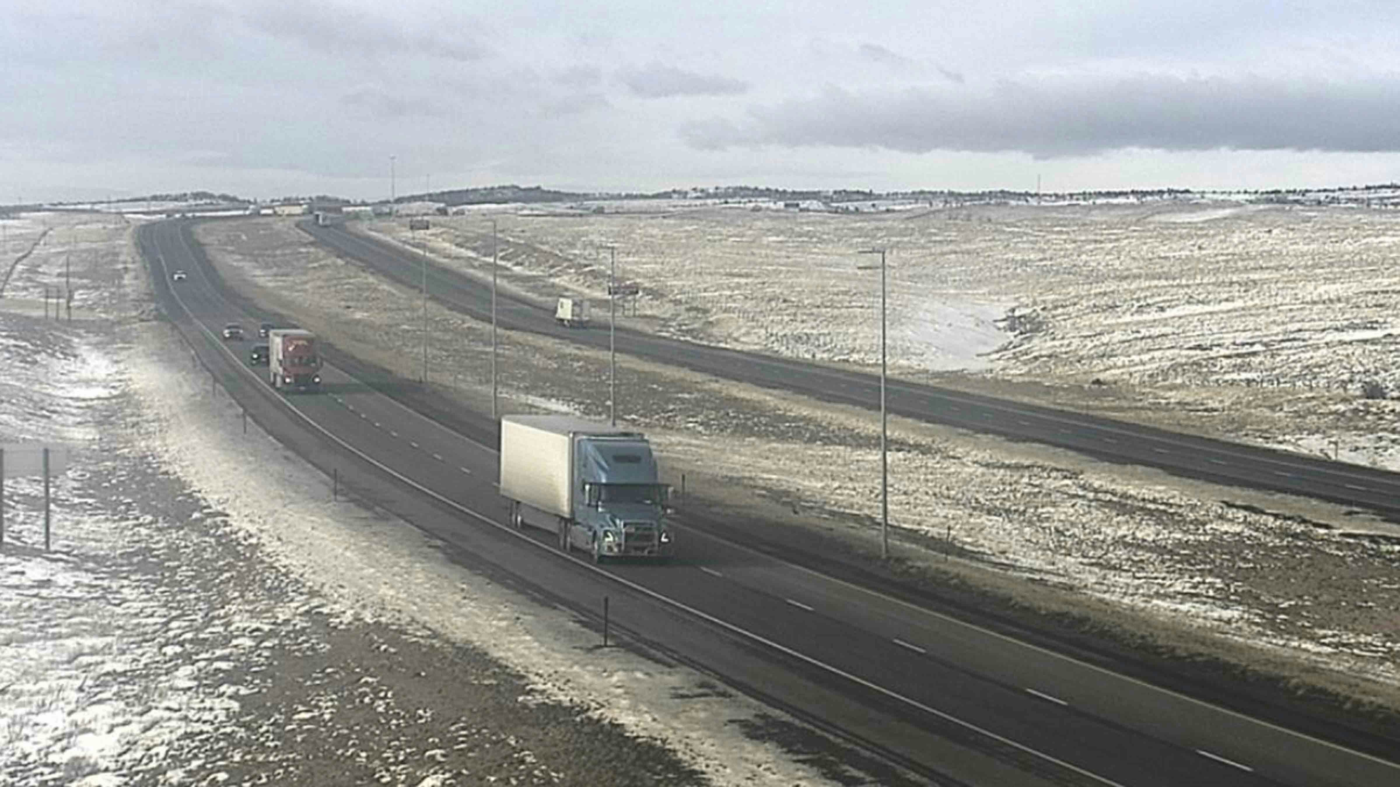
On Tuesday morning, the entire expanse of I-80, from Cheyenne to Evanston, was closed to all high-profile vehicles under 40,000 GVW (gross vehicle weight) due to gusting winds. The same closure applied to most of I-25 from Cheyenne to Sheridan, restricting traffic on the state’s most vital highways.
Meanwhile, wind gusts as high as 105 mph were recorded on the Chief Joseph Highway, north of Cody. Mount Coffin, one of the windiest spots in Wyoming, experienced wind gusts up to 86 mph.
The polar vortex that descended from the Arctic over the weekend and dumped 75 inches of snow in the Snowy Range, is giving way to warmer weather from the Pacific Ocean. When these weather patterns trade places, there’s a lot of wind in the interim.
“The W in Wyoming stands for windy,” said meteorologist Brett McDonald with the National Weather Service (NWS) office in Riverton. “We’re in a pattern that is going to impact a lot of the state, and with the general pattern we’re seeing this winter, we’re going to see a lot more wind.”
Jet Power
Tuesday’s windstorm was the result of a strong jet stream, 30,000 feet above the Rocky Mountain region. Wyoming isn’t the only state being impacted.
“Jet stream winds are just crazy right now,” said Cowboy State Daily meteorologist Don Day. “This isn't just a Wyoming event. We have High Wind Warnings that cover a good part of Montana, the western side of the Dakotas, and parts of Nebraska and Colorado. I've seen several wind gusts around 70 mph on I-25 this morning."
McDonald confirmed that most of western and central Wyoming have High Wind Warnings in effect through Thursday morning. Similar warnings are in effect through Thursday evening for Cheyenne and southeast Wyoming.
“It's a pretty continuous pattern that we have, and it’ll keep being a prolonged period of strong winds until that time,” he said.
Day said “the worst of the wind” will be on Tuesday, but that doesn’t mean Wyoming will be in the clear for the rest of the week. The crazy-strong jet stream is expected to persist throughout the week, and there are several High Wind watches and warnings in effect into Wednesday and Thursday and even longer.
“It’s still going to be very windy in many areas of the state, probably all the way up through Friday,” he said. “What will happen in these situations is you'll get lulls. There'll be a little bit of an easing of the wind, and then it'll pick up again. We are likely going to be faced with high winds with this current situation, off and on through Friday and even into the weekend.”
Tis The Season
December, January, and February are, historically, the driest months of the year for Wyoming. They can also be the windiest months because of the fluctuations in temperatures and prevailing weather patterns, and there’s more where that came from.
Day and McDonald agreed that the fluctuations between warm and cold air are to be expected during Wyoming's winters.
“It’s just the nature of our area,” McDonald said. “When you get into these particular patterns, it can impact a lot of the state, especially with our topography. It really ramps up the winds across Wyoming.”
The silver lining is that once the strong winds ebb away, another influx of cold Arctic air will be able to penetrate into Wyoming. That will increase the chances of wet, heavy snow that will build up the snowpack in the mountains and could even be strong enough to cover the plains with snow.
When Wyoming gets colder, the chances of strong winds will be reduced. Until then, Wyomingites will have to brace themselves for more days of strong winds.
“To stop the wind, you got to bring the colder air back and release the temperature gradient, so the winds aren't going to be as strong,” Day said. “For the rest of this week, and parts of next week, we're going to have to deal with the wind, more often than not. It's going to come and go, I'm afraid to say.”
50-50 Days
The strong jet stream winds are being enabled by the ongoing exchange between cold Arctic air and warm Pacific air. That’s when the winds of winter really start to blow.
“When you're in between the big temperature gradient, that's what makes the wind blow,” Day said. ““We've got a huge contrast in temperature between the Arctic air that's just north of us and a much milder air mass that's over the Pacific and West Coast, and we're right in between it.”
According to Day, it’s an either/or situation for windy Wyoming winters. Strong winds events like these usually occur when the weather warms up, not when it gets bone-chillingly cold.
“If it’s windy, it’s not going to be terribly cold,” he said. “It’s rare to have 50-degree days and no wind in winter. When it gets really cold, it doesn't get really windy. It's when we're in between cold snaps and warmups, that we have the worst winds.
Day calls these “50-50 days.”
“When it’s 50 degrees, you’ll have 50 mph winds,” he said. “If you don't like the wind, you better like the cold. That’s just what it is to live in Wyoming.”
Andrew Rossi can be reached at arossi@cowboystatedaily.com.