Somewhere out in the southeast corner of the Wyoming’s vast Red Desert is a spot that once was claimed by Texas. That spot plus a strip of land that dived south from Fremont County through Carbon County and included a bunch of Colorado.
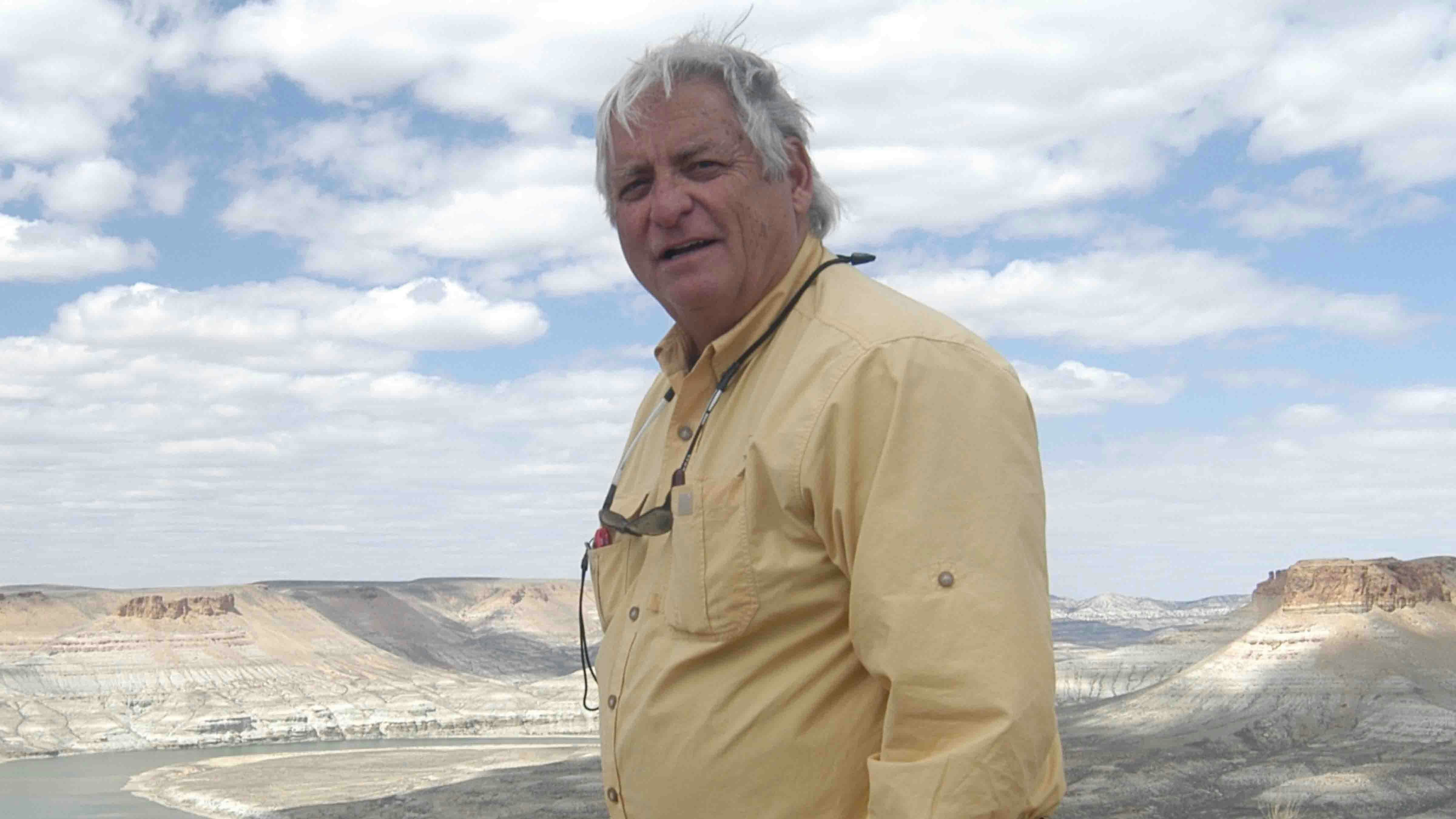
On a trip to the desert this summer, a group of us visited the Tri-Territorial Marker, which brings into focus the possibility of parts of Wyoming once controlled by a fourth independent country – Texas.
The Tri-Territorial marker, where the space now known as Wyoming is shown to have been parts of three vast landowners, Mexico, France, and Great Britain. It has always been noted on maps as the 42nd degree parallel and the continental divide.
And yet, it is highly possible that there is a small spot in Wyoming which once was bordered by four different territories, parts of which together became the future home of our great state.
This spot is somewhere in a corner of Sweetwater, Fremont, Natrona or Carbon County, according to a map created by Velma Linford in her amazing history of Wyoming in 1947 called Wyoming Frontier State.
This one amazing spot touched what were Texas in 1845, Mexico in 1848, the Louisiana Purchase in 1803, and Great Britain (Oregon) in 1846. This area was once controlled by four independent countries of France, Great Britain, Mexico, and Texas.
All of these territories ultimately became part of the United States. And then in 1890 (135 years ago this year) the U. S. Congress transformed a big rectangle territory that became the state of Wyoming.
First big owner of all these territories was Spain as a result of Columbus’s “discovery” of North America in 1492.
Not much happened for a long time except that whenever Indian tribes were exposed to white men, they were nearly wiped out by diseases for which they had no natural defenses.
Marquette And Joliet
Marquette and Joliet who were the first white men to discover the huge drainage of the Mississippi River and claimed the whole vast area for France. At this time, the southwest corner of future Wyoming was presumably controlled by Spain and the northwest corner by England. Present-day Washington, Oregon and Idaho were once considered to be part of Oregon, pretty much founded by the Brit Lt. Vancouver
In 1803, President Jefferson negotiated the Louisiana Purchase for $15 million from Napoleon who was in the midst of a terrible war of attrition with Great Britain. At that point, about two thirds of the future state of Wyoming became part of the USA.
Jefferson, in 1804, sent Lewis and Clark to find out what he had purchased and they skirted our area because they were following the Missouri River. One of the Corps of Discovery’s members, John Colter, was one of the first white men to venture into our future state – famously experiencing all the wild places in the future Yellowstone National Park.
Mexico rebelled against Spain in 1821 and finally secured its own land in 1824. They claimed land all the way to present-day Idaho and owned about 10 percent of present-day Wyoming.
The Spaniards had explored the Green River all the way up into Wyoming and reportedly claimed all that drainage.
A man named Moses Austin dreamed of an independent Texas country. That job was later finished by his son Stephen. By 1835, there were 35,000 Americans in Texas and it was ripe for prying itself away from Mexico.
Texas won independence in 1836, despite all those deaths at the Alamo, but its boundaries were subject to dispute. Its initial claim included a finger of land that reached all the way into the heart of Wyoming.
5440 Or Fight
The battle call of “fifty-four forty or fight” was what finally rallied Americans to force England give up Oregon in 1846.
That was a pivotal year because the USA also went to war with Mexico and ended up in 1848 with a vast swath of land from California to Colorado, which again included that 10 percent chunk of future Wyoming. After the U. S. won that war, it paid $15 million to Mexico as a way to prove itself a good neighbor and to prevent future wars.
By 1848, some 42 years before becoming a state, the land that today encompasses all of present-day Wyoming was firmly under the ownership of the United States. It took four decades to establish the final property lines.
Not sure if everyone agrees with Velma Linford’s map or her conclusions, but it might be interesting for some enterprising person to go back into the files and try to determine where this “four corners” area of Wyoming would be located.
Going by her map, as much I want to believe part of it might be in Fremont County, it surely could be right in the middle of Carbon County. There is already that Tri-Territory marker in Sweetwater County recognizing three of the territories but not mentioning the Texas claim.
So, I tip my hat to Ms. Linford, who later became state superintendent of schools.
Her book was used as a textbook for years in Wyoming schools. Like so many wonderful history books that have been published about Wyoming over the years, it has been hard for me to catch up with each one.
Bill Sniffin can be reached at: Bill@CowboyStateDaily.com