Two hikers who were trapped in a storm Sunday on Medicine Bow Peak in Albany County and needed to be extracted by Albany County Search and Rescue claim that the AllTrails GPS app misled them into a treacherous boulder field.
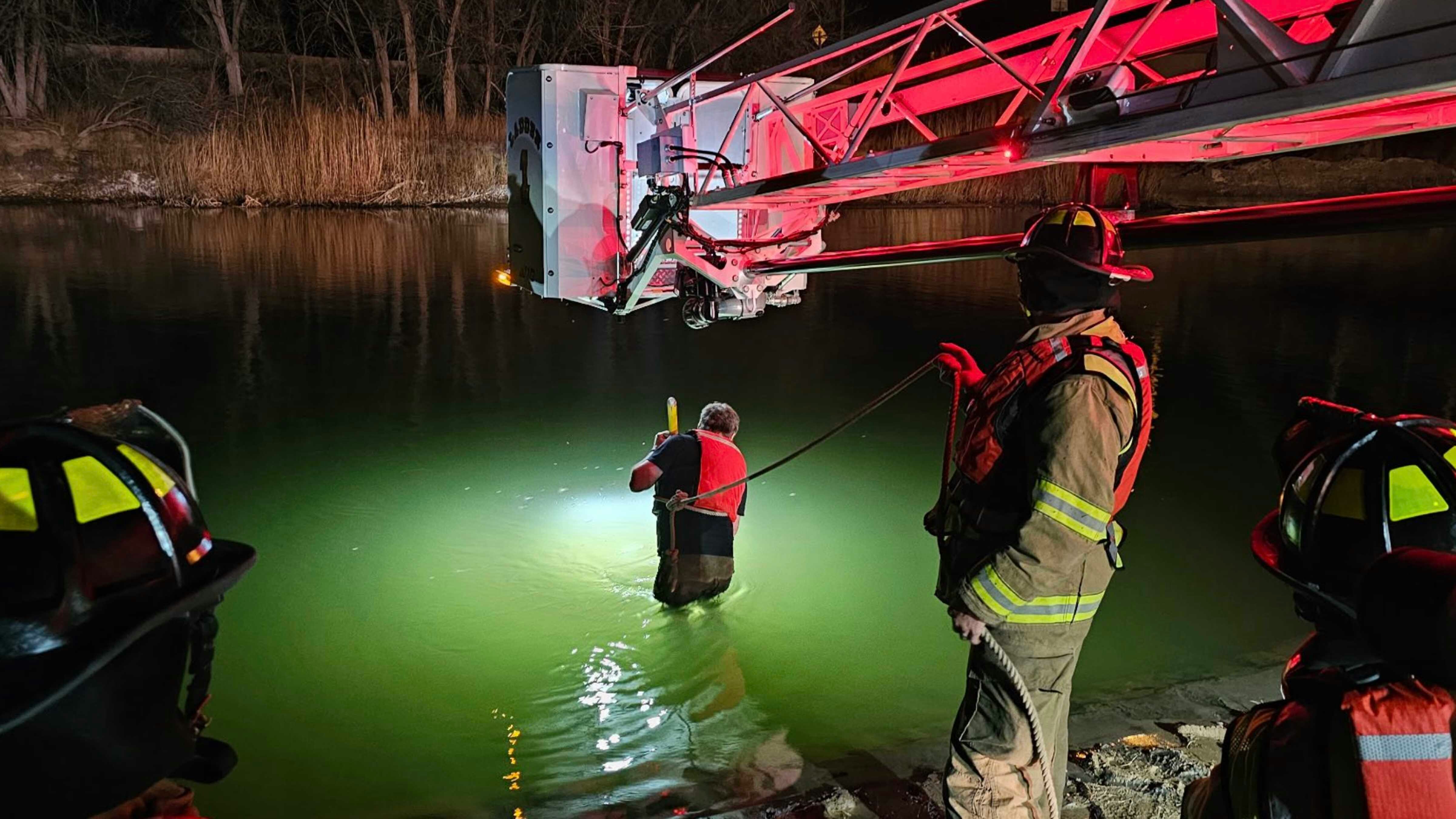
Rescuers found the pair and led them to safety without incident.
The hikers wisely “sheltered in place” as storm clouds rolled in, bringing rain, snow and lightning, Albany County Sheriff Aaron Appelhans told Cowboy State Daily on Monday.
Information on GPS mapping apps can sometimes be inaccurate because it’s “crowd sourced,” Central Wyoming Trails Alliance President and Director Austin Burgess told Cowboy State Daily.
He’s the area administrator for another hiking app, Trailforks. Having local administrators greatly mitigates the chances for errors, he said.
“My personal position is that every single one of these apps needs to have an area administrator, like Trailforks does,” he said.

Off On The Wrong Path
The hikers told rescuers that they were trying to follow a route listed on AllTrails, but ended up in the boulder field instead, according to an after-action report from Albany County Search and Rescue, which is overseen by the sheriff's office.
Appelhans said that the hikers might have confused one route listed as a hiking trail with another that was an off-road vehicle trail.
One of the biggest hazards of hiking in the high country this time of year is rapid changes in the weather.
“They (the hikers) weren’t dressed for the weather that got on top of them,” he said.
There was risk the hikers could develop hypothermia, as well as the risk of lightning, he said.
Earlier this month, lightning killed two elk hunters in the southern Colorado mountains.
“Our teams quickly located the pair, provided warming and rain protection, and escorted them safely back to the trailhead," the after-action report says. "Both were tired and cold, but otherwise unharmed."
The Centennial Valley Volunteer Fire Department helped with the rescue.
AllTrails Stands By Its App
AllTrails takes steps to verify the accuracy the maps on its app, Juliana Ead, the company’s director of communications, stated in an email to Cowboy State Daily on Monday.
The company has a team that works directly with public lands managers to ensure accuracy, she stated.
“Our team reviewed the trails in this area, and we’re confident our information is accurate,” she said. "From the image on the Facebook post, we believe the trail in reference is Lewis Lake, Medicine Bow Peak and South Gap Lake Loop.
"This route has a difficulty rating of hard and includes advisory information about challenging conditions including off-trail rock scrambles, screes, and boulder fields.”
She said the company is reaching out to Albany County’s search and rescue team “to see how we can partner together on trail safety and preparedness."
“We’re grateful to the Albany County, Wyoming Search and Rescue team for the work they do and are glad to hear these hikers made it out safely,” Ead added.
Information From Multiple Sources
Burgess said that through him and other area administrators, Trailforks uses a vetting process that isn’t perfect, but helps mitigate confusion.
When routes are submitted for listing, they get sent to administrators who can verify them as sanctioned or approved trails, he said.
Routes that can’t be verified might still be listed, but “it shows up as an unsanctioned route, sort of grayed out,” he said.
He added that to his knowledge that doesn’t happen with AllTrails.
“They require a user submission. As long as they can validate that people are using a trail, then they can put it on the app as an official trail,” he said.
While steps can be taken to mitigate problems, no app will be foolproof, Burgess said.
The Value Of Paper Maps
Moreover, things can go wrong in the backcountry. Phones or other devices with the apps on them can run out of power, or get lost or broken, he said.
As he sees it, hikers, hunters and others who venture into the backcountry should know how to use a paper map and a compass.
“I don’t go backpacking without an area analog (paper map),” he said.
“Orienting (with a paper map and compass) has become a lost art, for certain. Maybe we should start teaching some of those classes,” he added.
Mark Heinz can be reached at mark@cowboystatedaily.com.