Three Wyoming counties are teaming up to get a better handle on the hidden wildfire threat lurking beneath the surface of northeastern Wyoming.
Campbell, Johnson and Sheridan counties are applying for grant funding to map coal seam fires across the region – a project officials hope will help mitigate wildfire risks that have plagued the area for years.
Coal seam fires occur when underground coal deposits ignite and smolder, often for years. When the fires burn through their covering soil, they can spark wildfires in nearby vegetation, particularly during hot, windy days.
A 2024 Wyoming Region 1 Hazard Mitigation Plan identified coal seam fires as a threat and listed around 45 known coal seam fires. The estimated start date for some is as far back as 1859, showing coal seam fires can smolder for more than a century. Then with the arrival of each new fire season, there’s a chance the smoldering seam will ignite a new wildfire.
"Coal seams in Wyoming and Montana have proven to be problems in the past starting fires," said Stuart Burnham, fire marshal for Campbell County. "Our fear is that those wildfires from last year may have burned over some areas with exposed coal seams."
“And obviously when that happens, you run the risk of that coal underground catching fire,” added Burnham. “And as the coal catches fire underground, that kind of deteriorates that foundation for the soil on top. And as the soil drops down, it can expose the coal and if there's vegetation close enough, it doesn't take too much on a hot, windy day to catch the grass or other vegetation on fire.”
Mapping the Threat
A Coal Seam Fire Mapping Project stakeholder meeting is scheduled for Thursday, May 22, at 5:30 p.m. at the Campbell County Courthouse Commissioners Chambers. The meeting will be livestreamed online and on GPA Channel 190.
"Part of the grant process is to have stakeholder engagement," Burnham said. "We're inviting the public to come out and any of the elected officials to come out and just kind of get information on what the grant is aimed at."
Burnham explained that while Campbell County has maps showing approximately 200 known coal seams from years ago, the true scope of the problem remains unknown.
"We know that there's likely more out there, but it's hard to know what to do or how to take care of them if we don't know what the scope of the problem is," he said.
Hidden Danger
The danger of coal seam fires comes from their persistent nature and ability to ignite new wildfires under the right conditions.
"Due to the remote areas around Campbell County and Wyoming in general, the longer the response time, the larger the fire can get," Burnham said. "Campbell County has a lot of private land. And so it's a unique challenge between private landowners and local and state and federal officials on how to best mitigate the issue."
While Burnham could not provide an exact number of wildfires caused by coal seams each year, he noted that "multiple wildfires start due to coal seams each year" in the region.
Significant Impact
The potential impact of these fires is substantial. In 2021, Cowboy State Daily reported on a 5,300-acre fire in western Campbell County that ignited from a coal seam. At its peak, 120 firefighters from various federal and county agencies battled the flames that crossed over to burn in Johnson and Sheridan counties as well.
The proposed mapping project would focus on northern Campbell County, north of I-90, along with parts of Sheridan and Johnson counties. Officials say these areas have traditionally seen fires caused by coal seams.
The federal FEMA grant funding would come through the Wyoming Office of Homeland Security's Hazard Mitigation Grant Programs, which provides funds following a Presidential Major Disaster Declaration.
According to program information, "The key purpose of this grant program is to enact mitigation measures that reduce the risk of loss of life and property from future disasters."
The grants operate on a 75/25 percent cost share, with the local governments responsible for the 25 percent match.
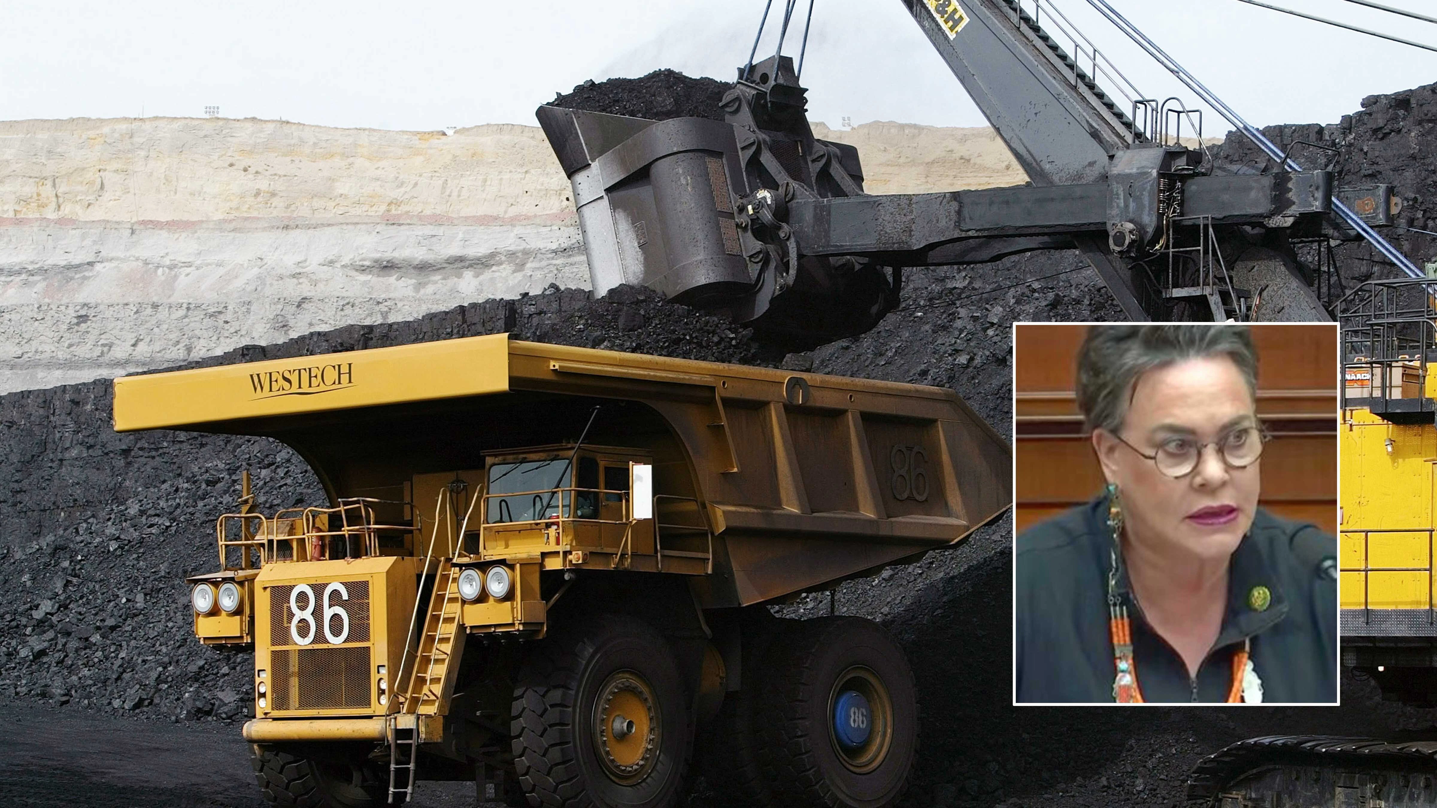
Kristin Young, deputy director of administration with the Campbell County Office of Commissioners, is working on the grant application between the three counties.
“We think the project is going to be a little under $1 million to aerial map the area. As part of the aerial mapping process, then they will go through a ground-truthing process,” explained Young, who said the $250,000 matching amount will be split proportionally by the three counties based on the amount of ground each wants to map.
Campbell County is looking at 1.5 million acres, while Sheridan County wants to map just under a million acres and Johnson County is concerned with about a half million acres.
Learning from Montana
The Wyoming counties may be able to learn from their northern neighbors. Montana has already undertaken similar efforts to map and mitigate coal seam fires, and a representative from Custer County, Montana, with coal seam fire expertise will attend Thursday’s meeting.
According to data from Montana's experience, coal seam fires have caused tremendous damage in eastern Montana. In the summer of 2021 alone, out of 261,000 acres burned, 201,000 acres were caused by burning coal seams. Over a 10-year period, almost 500,000 acres burned from coal seam fires in just four Montana counties, with 369,000 of those being private lands.
Montana has utilized aircraft equipped with special thermal cameras to identify burning coal seams with 86% accuracy, according to Custer County.
"Montana has a project that they performed a few years ago," Burnham noted. "They were able to map areas in Montana where they identified the coal seams. They put a fire barrier around it. Oftentimes that is maybe putting a barrier of dirt around it. And then the idea is that that would hopefully keep the vegetation and the heat away from the vegetation so it wouldn't start a fire."
Future Mitigation
If the mapping project succeeds, it could lead to various mitigation strategies.
"Long term, potentially looking at taking mitigation efforts to alleviate that, whether that is finding a way to separate the vegetation from the coal seams or putting a fire barrier around the coal seams," Burnham said.
Other potential solutions include using heavy equipment to dig out burning coal if accessible, though Burnham noted some coal seams are in difficult terrain.
"There may be the possibility of using a backhoe or heavy equipment to dig it out, but the difficulty is some of these are in difficult terrain," he said. "The other complication is potentially just the sheer number of them. And then there's the private land versus state land versus federal land, and how to best take care of the coal seams on each piece of land, depending on the ownership."
"This is something that we've been trying to research, trying to look at how to best handle for a number of years," Burnham added. "And this is an issue in Montana and Wyoming that unfortunately is somewhat common. And up until this point, we've simply been fighting the wildfires that have been caused."
David Madison can be reached at david@cowboystatedaily.com.