The United States Geological Survey (USGS) is conducting a first-of-its-kind survey of southern Wyoming. Starting in February, the agency will gain a bird's eye view of what lies deep under the surface.
When this survey's results are completed, they will be publicly accessible to any agency, business, or individual who could benefit from knowing what’s waiting to be unearthed between the Front Range and Medicine Bow Mountains.
“This survey will help us understand the foundational geology of this part of the state,” said Raine Lynds, manager of the Wyoming State Geological Survey’s energy and minerals resource group. “This data will be important for Wyoming and will be useful for a bunch of things.”
Near Surface Subsurface
Starting this month, the USGS will use helicopters to conduct an airborne electromagnetic (AEM) survey of areas of Albany, Carbon, Converse, Laramie and Platte counties in Wyoming. The same survey will occur in Jackson, Larimer and Routt counties in Colorado.
AEM surveys provide images of subsurface electrical resistivity, showing how electrical currents move through materials buried underground. Those images could identify anything from water, rare-earth minerals, and many other items of interest under the surface.
“This kind of geophysical survey hasn’t been done in Wyoming before,” Lynds said. “This will provide cross sections in the area, which we'll be able to use to make 3D maps to better understand the near-surface subsurface.”
The AEM survey will be able to detect materials up to 1,500 feet below Wyoming’s surface. It’s the first public electromagnetic geophysical survey in Wyoming’s history.
“It will provide high-quality geophysical data on this section of Wyoming,” Lynds said. “And all that information will be publicly available.”
What Lies Beneath
The potential applications of the data collected by the USGS’s AEM survey are vast. The survey will cover federal, state, and private land, providing valuable information on what is hidden from the surface.
Lynds said the Wyoming State Geological Survey (WSGS) is most excited about using the data to study the Cheyenne Belt, a geological zone stretching from northern Colorado to the Black Hills in South Dakota.
“The Cheyenne Belt marks the margin of the Wyoming province to the north, which is our very old rocks, which is juxtaposed against the Colorado province to the south,” she said. “Any time there is a suture zone like this, where we have two different types of continents in touch, there’s a lot going on.”
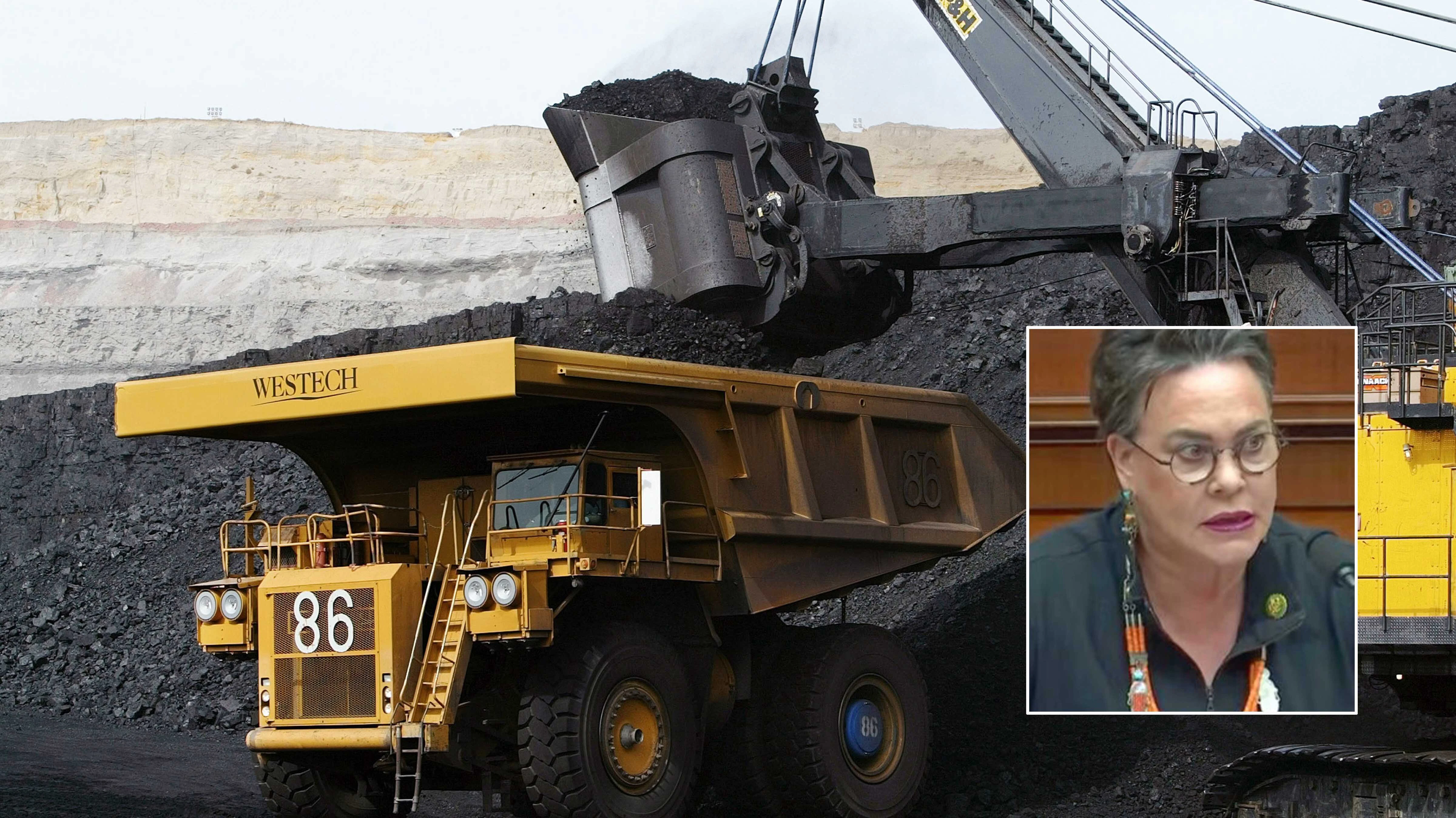
The AEM survey could lead to vast deposits of critical minerals, base metals, and precious metals buried throughout the Cheyenne Belt. The data will also provide valuable hydrological information on the region, which can strongly indicate metal and mineral deposits in the vicinity.
“There's been lots of water flow in areas like this, and we are trying to understand this area and its mineral potential,” Lynds said. “We're looking forward to gaining a better understanding of the Cheyenne Belt and what that looks like.”
Above But Will Be Low
The USGS anticipates that its AEM survey of the Cheyenne Belt will take roughly two years to complete. To accomplish this, helicopters will fly between 100 and 200 feet from the surface while carrying a sensor that resembles a large hula hoop.
The survey equipment poses no risks to the general public or wildlife but could cause some aviation confusion. The USGS cautioned that flights and landing areas “could shift with little to no warning” to minimize ferrying distances and avoid adverse flying conditions.
The Federal Aviation Administration has already approved the use of helicopters along 6,500-foot flight paths. Surveys will only be conducted during daylight hours and will not occur over densely populated areas.
The Albany County Sheriff’s Office said the USGS will be flying in the area for “approximately three months,” weather and flight permitting. Surveying should be finished by the end of summer 2025.
Treasure Trail
Lynds said the geophysical data collected by the AEM survey wouldn’t be a perfect guide to lucrative underground deposits. She described the survey as “the first round” of data that other agencies and companies can access and interpret to get heading for whatever they’re looking for.
“This isn't exploration quality data,” she said. “Any company that’s able to interpret the data will have a better idea of where they would like to go and explore more in-depth and collect more data to find what they’re looking for.”
The USGS says this survey will “modernize our understanding of the Nation’s fundamental geologic framework and knowledge of mineral resources.” They claim the final results will be a wealth of knowledge on critical mineral resource potential, water resources, groundwater pathways near legacy mining areas, parameters for infrastructure, and land use planning.
The WSGS is also excited that the data collected from the survey will be publicly accessible. Once the USGS publishes the results of the AEM survey, Wyomingites can obtain, analyze and utilize that information for whatever purpose they pursue.
“We see making data on Wyoming’s geology publicly available as part of our mission,” Lynds said. “We want to ensure these data are out there and a resource for everyone, and these surveys will be valuable to mineral exploration, environmental consulting, and hydrogeologic companies and the people of Wyoming. For us, that’s a big deal.”
Andrew Rossi can be reached at arossi@cowboystatedaily.com.