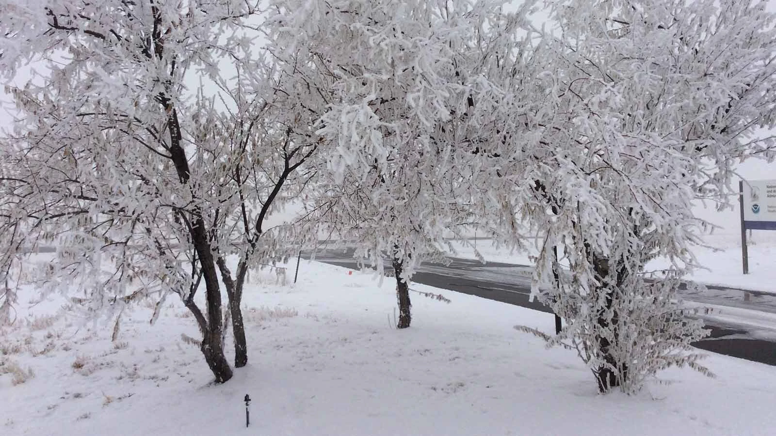
The calm before a subzero storm is about over for much of Wyoming, with the next several days expected to hammer the Cowboy State with a surge of subzero temperatures, snow squalls and dangerously low wind chills.
Cowboy State Daily meteorologist Don Day says the cold snap will bring three distinct phases of the first significant winter weather of the 2024-2025 season. The biggest takeaway is nobody is avoiding this one.
“There's nobody that's going to escape it,” he said. “I think folks along the western mountain chains will get the worst of it, but it’ll also be felt on the plains. No one gets out of this one.”
The National Weather Service forecasts say Wyoming can expect to see low temperatures ranging anywhere from minus 4 in some areas to as cold as minus 17, or perhaps colder.
Phase One — All The Nastiness
The leading edge of the Arctic front will reach northern Wyoming around sunrise Friday morning, Casper by noon and the Interstate 80 corridor by sunset. The Arctic front will herald its arrival with falling temperatures, gusty winds and a band of 1 to 3 inches of snow.
Day said this could be the most dangerous phase of the subzero surge. Thanks to a warm spell Wednesday and Thursday, the arrival of the Arctic front Friday will create travel hazards across Wyoming.
“Since it’s a little warmer today, the pavement has warmed up enough that the first snow that falls tomorrow will freeze rapidly,” he said Thursday. “Then we'll have a little bit of light, fluffy snow on top of that, and the wind will whip that snow up. You'll have black ice, reduced visibility, and snow squalls.”
Snow squalls are short, intense, wind-driven snowstorms that usually start and stop within an hour. They’re characterized as “a key wintertime hazard” by the National Weather Service.
Day said that “all of the nastiness” will be consolidated at the front of the Arctic front as it quickly moves across Wyoming. Travel will be most impacted during this phase.
“No one’s going to get a ton of snow, but a burst of snow, bursts of wind, and a big drop in temperature is a recipe for terrible travel,” he said. “From Friday to early Saturday, travel will be impacted statewide.”
Phase Two – Just Like ‘Ice Road Truckers’
Once the front of the Arctic wave passes over Wyoming, the deep Arctic air following it will settle in on Saturday and persist into next week. That’s when Wyomingites will feel the coldest temperatures of the winter season (so far).
“Highs on the plains will be in the single digits and teens and getting colder throughout the day,” he said. “The coldest temperatures that people will experience will be from Saturday night through Tuesday morning, and the coldest periods will be Sunday night, Monday morning, Monday night, and Tuesday morning. That’s where the temperatures will bottom out.”
Day said the Arctic air will be at its deepest between Sunday and Tuesday morning. During this phase, a vertical column of polar air will linger over Wyoming, causing daytime and overnight temperatures to plummet.
The National Weather Service is no longer issuing Wind Chill Watches and Warnings, but Wyomingites should consider themselves warned now. Day said wind chills could easily hit minus 30 between Saturday and Tuesday and could be colder in some places.
Meanwhile, the fluffy snow that fell on Saturday will continue to be blown about, decreasing visibility for drivers. Day said pockets of light snow could also “pop up” during this phase of the subzero surge, but they won’t be heavy.
“It's going to look and feel like Ice Road Truckers,” he said.
Phase Three – A Classic Chinook
The vertical column of Arctic air will start to retreat on Tuesday morning. Temperatures will still be near or below zero that morning but could jump significantly by the afternoon.
Day called that “a classic Chinook.” Unfortunately, the rapid rise in temperature will generate a lot of wind.
“When Arctic air retreats out of the Rockies and heads into the plains, the pressure change kicks the wind up,” he said. “It’s like a vacuum, always on the back end of an Arctic surge. That tends to be a problem with wind chill, and it tends to be a problem with travelers.”
Tuesday will be dominated by strong winds and blowing snow, which means more subzero windchills and reduced visibility. Temperatures will moderate throughout the day, but that doesn’t mean it will feel much warmer.
“Temperatures may not warm up much relative to normal, even by the end of next week,” Day said. “In fact, I think the end of next week and next weekend looks damn cold. It won’t be as cold as this weekend, but it will be cold.”
Pure Arctic
Wyoming’s winter weather is dominated by moisture from the Pacific Ocean and surges of polar air from the Arctic. Day said this weekend’s weather will be purely Arctic, which means extreme cold and very little moisture.
“The Arctic is not a very wet place,” he said. “You’re not going to get a lot of moisture out of the Arctic, which is why snowfall amounts are going to be low with this surge.”
Heavy snow is created when the Arctic air mixes with pockets of moisture carried over from the Pacific Ocean. Wyoming will need both of these systems to build up its snowpack.
“If you get too much Arctic, you get severe cold but not a lot of snow,” Day said. “If you get too much Pacific, it tends to be mild and windy. But if you've got a little Arctic and a little Pacific, that’s when you get these periods of heavy snow.”
Not Going Back
The subzero surge enveloping Wyoming between Friday and Tuesday won’t bring the heavy snow many hope for. The silver lining is that these winter weather patterns will dominate the rest of the season.
The unseasonably warm and dry weather at the end of 2024 was caused by a high-pressure system that settled in and stayed over Wyoming for the latter half of the year. Day said the high-pressure system has been forced out and isn’t returning.
“We’re not going back to the opposite, two weeks of high pressure, after this Arctic wave,” he said. “That's not in the cards anymore. The weather will stay busy. There will be more of these funnel systems bringing cold temperatures and higher chances for snow, and they’ll be funneling through the western U.S.”
Future surges will strike a better Arctic/Pacific balance, manifesting as more of the winter weather many are looking for in the weeks and months to come.
“The future Arctic waves won’t be as intense in terms of temperature, but you add more snow into the mix,” Day said. “We’re looking at a lot of potential for a lot of winter weather, so stay tuned for details as we get closer.”
Until then, Wyomingites will have to brace themselves for the subzero temperatures, dangerously low wind chills, and snow squalls that will impact the entire state for the next week.
“The next system that could threaten us could get here as early as next weekend,” Day said. “We just have to get through this weekend first.”
Andrew Rossi can be reached at arossi@cowboystatedaily.com.


