It sounds like something from a Star Trek movie. Scanning the earth’s crust up to 3,300 feet below ground from the air, looking for traces of things like vanadium, niobium and tantalum.
But it’s not science fiction at all, and it’s happening now in the Cowboy State.
Wyoming State Geologic Survey has teamed up with the U.S. Geologic Survey to find new sources of minerals critical to the nation’s economic and national security, but don’t have a domestic source, making them vulnerable to disruption of supply.
They’re using aeromagnetic surveys, a geophysical prospecting method that looks at the strength of the magnetic field from the earth’s subsurface to identify likely locations of valuable metals and minerals.
“Rocks have different properties, and these surveys can measure that,” Wyoming State Geologic Survey geologist Chris Doorn told Cowboy State Daily. “Rock density, magnetic strength, porosity, electrical conductivity and things like that. These geophysical surveys measure these properties.”
The magnetic data can be measured as far as 3,300 feet below the surface of the earth from about 330 feet high in the air.
Radiometrics, meanwhile, can look for natural radiation from elements like potassium, thorium and uranium, but only from the top few inches of ground surface.
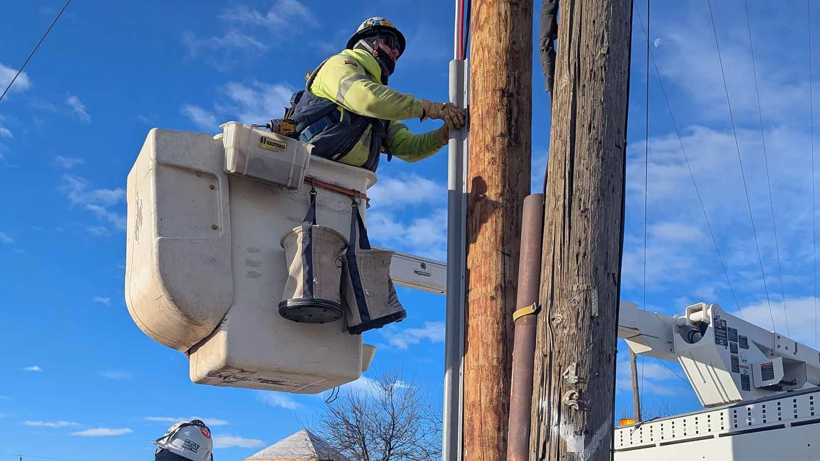
Helicopters are used to fly mountainous terrain for the surveys, and fixed-wing aircraft are used for flat land.
The Rare Earth Metals
Much has been written about rare earth elements and their many uses in the technological gadgets of today, everything from cell phones and computers to electric car batteries, LED lights and even nuclear missiles.
Like rare earth minerals, rare earth metals are not always all that rare. But, at the time of their discovery, such elements were largely unknown in any great quantity, so they were called “rare.”
They’re actually quite abundant in the earth’s crust, but in small concentrations at any given location, mixed in with other, more abundant materials. That makes their extraction and purification exceptionally challenging.
But some of the rare earth metals are truly rare. Tantalum, for example, is present at the rate of one atom for every 181 billion atoms of other elements.
Still, the blue-gray, hypoallergenic metal is less expensive than gold, even though it is highly rare and very useful. It’s corrosion resistant, so it finds uses in things like jet engines, nuclear reactors and aerospace technology.
It’s also ideal for medical implants because it is non-reactive, and it’s much more durable than soft metals like gold or silver.
Niobium is another rare earth metal that’s a common component in stainless steel. It improves the strength of steel for applications like jet engines, rockets, oil and gas pipelines and beams and girders for skyscrapers and oil rigs.
It’s also a superconductor, and is frequently used for particle accelerator magnets, MRI scanners and nuclear magnetic resonance equipment. It can also be added to corrective glasses, to make lenses that are more potent but extremely thin.
Vanadium is a silvery metal that is corrosion resistant and often used as a steel additive.
Vanadium-steel alloys are extra tough and shock resistant. They’re used to manufacture things like armor plating, axles, tools, piston rods and crankshafts. It also finds some use as pigments for ceramics and glass and can be used to produce superconducting magnets.
These are just a few of the 17 metals called rare earth metals. They all have unique properties that make them valuable in a wide variety of applications.

First Of Its Kind Survey In Wyoming
While the technology isn’t new, this is the first time a survey like this has been done in Wyoming.
“The resolution is new,” Doorn said, as is the way the data is being collected by flying in straight lines and zig zagging back and forth, 200 meters apart from each other.
The collected data gets put through computer analysis that produces very high-resolution data.
“This is the first time to have this high of resolution for data that will be available to the general public,” Doorn said. “It will be free and available from the USGS website.”
Funding for the surveys has come from both USGS and from Wyoming.
“We have data so far from the South Pass and Seminoe mountains,” Doorn said. “And we completed a survey covering Medicine Bow Mountains as well. We’re still working through that data, and we are using some of that data to guide (geochemistry grounds) sampling projects.”
The geochemistry sampling is a ground project separate from the aeromagnetic surveys. But the aerial surveys are helping pinpoint the sampling should take place. The ground samples can then help determine where there’s a high enough concentration of critical minerals to justify further exploration.
“There’s a wide variety of rock types in the Medicine Bow,” Doorn said. “A lot of them are metamorphic and igneous. Some elements known occur in the Medicine Bow in terms of critical minerals include the platinum group elements in a feature called Lake Owen.”
There’s vanadium in the complex as well.
“There’s also potential rare earth elements in the Medicine Bow as well as tantalum and niobium, and a whole host of other potential critical minerals there,” he said.
Industry Is Already Eyeing This Data For The Next Mining Rush
Industry is already interested in Wyoming’s aeromagnetic and radiometric surveys, and some of them are partnering up to widen the scope of the surveys.
“We have gotten interest in the area of southeast Wyoming,” Wyoming State Geological Survey’s Erin Campbell told Cowboy State Daily. “We have one company, whose name will remain confidential, who is partnering with us to increase the area of the survey so we can fly more detailed and more closely spaced lines over their area of interest, and they’ll keep that data confidential for a year while they expand their claim.”
Wyoming State Geological Survey has also heard from companies exploring in central Wyoming who have found data that’s so far been released incredibly helpful.
“We have emails from them explaining how the data has helped them refine their claims,” Campbell said. “And one thing we did for the central Wyoming survey is we canvassed industry to see where they’d like the data flown.”
That helped direct the surveys to the South Pass area over Granite Mountain to the Seminoe Mountains.
“This program has one to two years of funding left in it at this increased rate,” Campbell said. “The program had a baseline funding that was not very large, but the Bipartisan Infrastructure and Investment law increased it by $510 million. That expires in 2026.”
Renée Jean can be reached at renee@cowboystatedaily.com.