There's plenty of summer left to savor in Wyoming. However, if you know where to look, the signs of summer's end are revealing themselves in the weather.
It may not feel like it during 90- and 100-degree afternoons, but the late August weather patterns show that summer 2024 is on the decline. The scorchingly hot days are followed by afternoon and evening rain and thunderstorms, which are brief but intense until the Wyoming cools off after sunset.
However, the weather on the way for the Cowboy State this weekend should be a reliable indicator that summer will soon be transitioning into fall. Most of Wyoming will be affected by cooler temperatures and more moisture, and the multi-day sprees of hot temperatures will be less frequent. That will be welcome for those fighting a spate of wildfires across northern and central Wyoming.
"In late August and early September, you start getting cold fronts in Wyoming," said Cowboy State Dail meteorologist Don Day. "It doesn't mean summer's over, but we can see the end from here."
Cooler Incoming
The National Weather Service Office in Riverton is watching a low-pressure system moving in from the Northern Pacific. Meteorologist Celia Hensley referred to it as "the first fall-like weather system models" of the season.
"This system will just skirt the northern part of Wyoming," she said. "It will cross over several mountain ranges between California and Wyoming that'll break it up a bit, and the strong high pressure that we have been under most of the summer will also help to weaken that system as it comes into the Intermountain West."
Timing is difficult this far out, but Hensley expects the system to reach northwest Wyoming by Saturday. Most of the moisture carried by the system will fall on Montana and the Dakotas, but Yellowstone National Park and northwest Wyoming have a chance of getting some precipitation as it moves through.
The low-pressure system will bring a dramatic drop in temperature.
Hensley said the first fall-like system of the season will certainly make it feel like fall.
"It will bring much cooler temperatures, given how warm we've been this summer," she said. "I would not be surprised to see highs in the 50s across the West and in the 60s east of the Continental Divide. Higher elevations, above 9,000 feet, could see some temperatures in the 40s or even upper 30s."
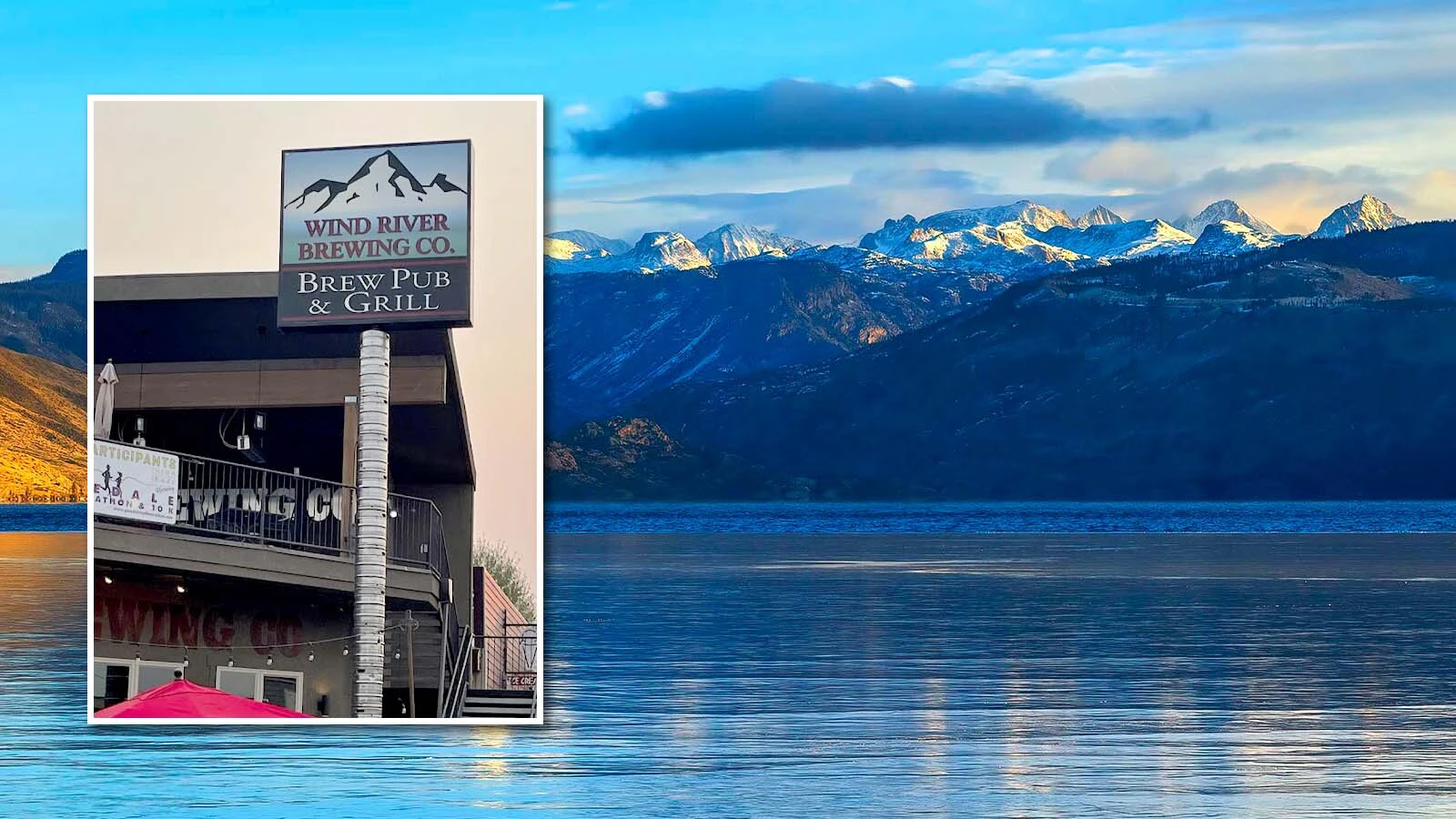
That could be the strongest sign of the imminent end of summer. Day speculated that it could get cold enough for snow to fall in the mountains.
"We're far enough out still, and keeping an eye on this system," he said. “But it could be cold enough to snow in the highest reaches of Yellowstone this weekend."
Cooler And Shorter
With the hotter weeks of the year behind us, Day said it's perfectly normal to feel the summer-fall transition in late August to early September. Summer isn't over, but it's getting weaker.
"If you look at the historical averages, Wyoming isn't as hot at this time of year," said Day. "When it does get hot, it doesn't go on for days. You can have some hot days in September, but we might have seen the last multi-day heat streaks (of the season) as these cold fronts get stronger and more active."
Other signs of the seasonal changes are evident. With Wyoming on the other side of the summer solstice, the days in late August are getting noticeably shorter.
"Late last week and over the weekend, temperatures in the high latitudes didn't even get above freezing," Day said. "It's starting to get colder up there. They're losing many minutes a day, and that's starting to add up."
It's Still Summer
Seeing signs of the end of summer in Wyoming's weather doesn't mean summer is over — yet.
Daytime highs should still be in the 70s and 80s across most of Wyoming during the last week of August. Soon, stronger low-pressure systems will move across the Cowboy State, bringing sustained cooler temperatures with them.
"This kind of system is fairly common for early fall," Hensley said. "It's nothing we haven't seen before and this time of year, but these systems tend to become stronger and more intense as we move into a fall-winter jet stream pattern."
Hensley recalled a Northern Pacific low-pressure system that was strong enough to cause snowstorms across Wyoming on Labor Day 2020. Thankfully, this weekend's system won't be strong or close enough to dress Wyoming white before Labor Day.
"We had a pretty intense storm that year, but this is not going to be like that," she said. "The first systems of the season are influenced by the summer pattern we're currently in and tend to not be as intense as they will get later on."
Andrew Rossi can be reached at arossi@cowboystatedaily.com.


