Boswell Road, a popular route in southeast Wyoming’s Snowy Range Mountains, seemingly belongs to everybody, and yet nobody.
And with masses expected to head to the mountains soon for summer fun, parts of the road have been shut down. That includes a section running through property owned by former Wyoming Gov. Matt Mead.
People have long thought of it as either a Forest Service Road or an Albany County Road – but in legal terms, it isn’t either.
There’s a locked gate blocking the road on the west side, just past the road’s intersection with Highway 230. And at the east end, off Highway 10, Mead’s property is marked with signs reading “private road, no trespassing.”
The Albany County Sheriff’s office also recently released an announcement, reminding the public that the section going through Mead’s property is closed.
That’s likely to cause confusion and aggravation as summer visitors start heading for the mountains, Albany County Commissioner Terri Jones told Cowboy State Daily.
“This won’t be resolved by Memorial Day. I think there’s a possibility it could be resolved by the Fourth of July,” she said.
Mead also told Cowboy State Daily that he’s not sure when or how the quandary over the road will be resolved.
“I’ve not heard of any solutions yet. We’re still trying to figure things out ourselves,” he said.
For now at least, those who have sections of it crossing their private property can legally close it.
And to complicate things even further, the State of Wyoming and the Bureau of Land Management also control parcels along or near the road. Thus, the route is a morass of multi-agency government control, with some private property tossed into the mix.
Who has jurisdiction over the road has never been entirely clear. For most of the road’s history, that wasn’t a problem. The public used the road, and the landowners didn’t seem to mind.
Until recently, that is, when everything changed.
Forest Service No Longer Maintains It
Boswell Road is built like typical Forest Service dirt and gravel roads. It runs for roughly 11 miles between Highway 230 and Highway 10 at the southern end of the Snowy Range Mountains in Albany County.
The Forest Service was primarily responsible for maintaining it up until early last fall, because stretches of the road run through the Medicine Bow-Routt National Forest.
The agency kept it in good enough shape that “you could drive a passenger car on it,” Medicine Bow-Routt National Forest spokesman Aaron Voos told Cowboy State Daily.
Since the Forest Service stopped maintaining the road, its condition has deteriorated, Mead said, noting that it gets especially rough just past his property.

A locked gate blocks access to the west end of the Boswell Road, off Highway 230 in southern Albany County. (Mark Heinz, Cowboy State Daily) 
Former Wyoming Gov. Matt Mead owns the historic Boswell Ranch just off Highway 10 in southern Albany County. (Mark Heinz, Cowboy State Daily)
Landowners Finally Got Fed Up
The crux of the matter is that the road runs essentially “right through the front yards” of landowners on either end, Jones said.
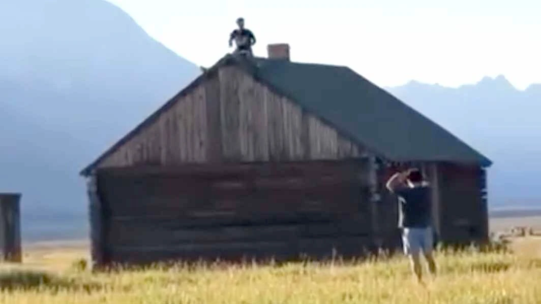
On the east end, the road almost immediately passes right by some of Mead’s buildings on the historic Boswell Ranch, including an historic barn and a metal shop.
“We put up the ‘private property’ signs because we’re worried about liability,” Mead said.
Drivers sometimes come piling off the highway at high speed, and he’s worried about somebody crashing into one of the buildings.
Over the years, there have been other problems, Mead added.
His metal shop has been vandalized, and people have tried to take shortcuts through the ranch’s meadows, sometimes even running over fences.
“They’ll get stuck in the meadows” and then bend or break fenceposts trying to pull their vehicles out with winches, Mead said.
Jones said she wants the road open for the public, but also understands the frustration of Mead and other property owners.
For about as long as people in southeast Wyoming have had cars, they’ve driven the road, Jones said. They either used it as a shortcut between the two highways, or to access camping, hunting and other outdoor recreation on the public land along the route.
And for most of recent history, the landowners didn’t mind. Because traffic was usually sparse, and mostly local.
“It used to be just a few people with jeeps pulling small trailers, things like that, Jones said.
But traffic began to steadily increase, particularly from Colorado. And things exploded a few years ago.
“Along comes Covid, and everybody was making the great escape. And everything on the national forest just blew up,” she said. “And nowadays, there are a lot of people with a huge camper trailer, and another trailer behind that with four, six, or eight ATVs on it.”
So Boswell Road, which had been a sleepy route into the forest, became a rip-roaring recreational thoroughfare, she said.
Who Owns The Road?
The convoluted present situation with Boswell Road is rooted in its past.
The route dates back to the 1870s, and is just north of the Wyoming/Colorado state line, Voos said.
“It is approximately 10.75 miles long, and runs east/west from the Boswell Ranch, south of Jelm, Wyoming, to Mountain Home, Wyoming. Two sections cross into Colorado. before coming back into Wyoming, 2.5 miles of the road crosses four parcels of private land,” he stated in an email.
That means it’s older than the Medicine Bow National Forest, which was established on May 22, 1902.
Since the 1870s, the route was considered a public road. In recent decades, the Forest Service and Albany County shared maintenance of it.
There was an attempt to clarify ownership of the road in the 1980s, Voos stated. The Forest Service completed an environmental assessment and decision of notice for right-of-way in 1984, and had completed all necessary agency surveys by 1986.
In 1990, the Albany County Commission passed and signed a resolution proclaiming it a county road.
However, that decision was never formalized. So Boswell Road’s status as a county road was never legally finalized.
And in September of 2023, the commission passed another resolution, this time declaring that the county won’t pursue the matter any further.
The resolution states: “That taking the action necessary to establish Boswell Road as a county road pursuant to W.S. § 24-1-101 is not in the best interests of the citizens of Albany County.”
And if things weren’t complicated enough already, a Forest Service road – running from the Arapaho-Roosevelt National Forest to the south – also intersects Boswell Road, Voos said.
That road is popular with recreationalists coming up from the south, but the intersection with Boswell Road is on private property, and could also be affected by closures.
What Happens Next?
Jones said she opposed the commission’s last resolution, while commissioner Sue Ibarra and commission chairman Pete Gosar supported it.
Jones said that in her opinion, that resolution cut “we, the people” out of the process.
Gosar told Cowboy State Daily that as far as he’s concerned, the matter should be in the Forest Service’s hands.
“The county has no easements on the road, and never did,” he said. “I really, as a commissioner, can’t tell the Forest Service how to run their land or how to move the road.”
Voos said re-routing the sections of the road that run so close to some people’s homes has been floated as a way out of the quandary. But given the multiple jurisdictions – Forest Service, state, BLM and private – his agency can’t unilaterally make that decision.
Mead said, he and his family tried striking a deal with the Nature Conservancy to re-route the section of road running through his property, “but they declined our request.”
Jones said she’d like to see the commission reconsider finalizing its designation as a county road, and then “declaring it a private road, with a public right-of-way.”
That could clear the way for the road to be rerouted where necessary without all the multi-jurisdictional complications, she said.
Resident Doing His Own Plowing
Micheal Vasey lives on the west end Boswell Road and told Cowboy State Daily that to his knowledge, he’s the only permanent resident there.
Most of the other properties along the road are seasonally-occupied cabins, he said.
The closures haven’t cut off access to his house. However, with the Forest Service no longer maintaining the road, its condition could become a problem for him.
For the time being, he’s been able to get by –using his small skid-steer loader to plow snow off the road.
“We’ve been doing our own maintenance on this section of road for about three years now, because nobody else will do it,” he said.
Mark Heinz can be reached at mark@cowboystatedaily.com.