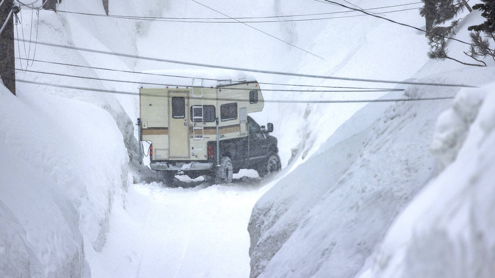
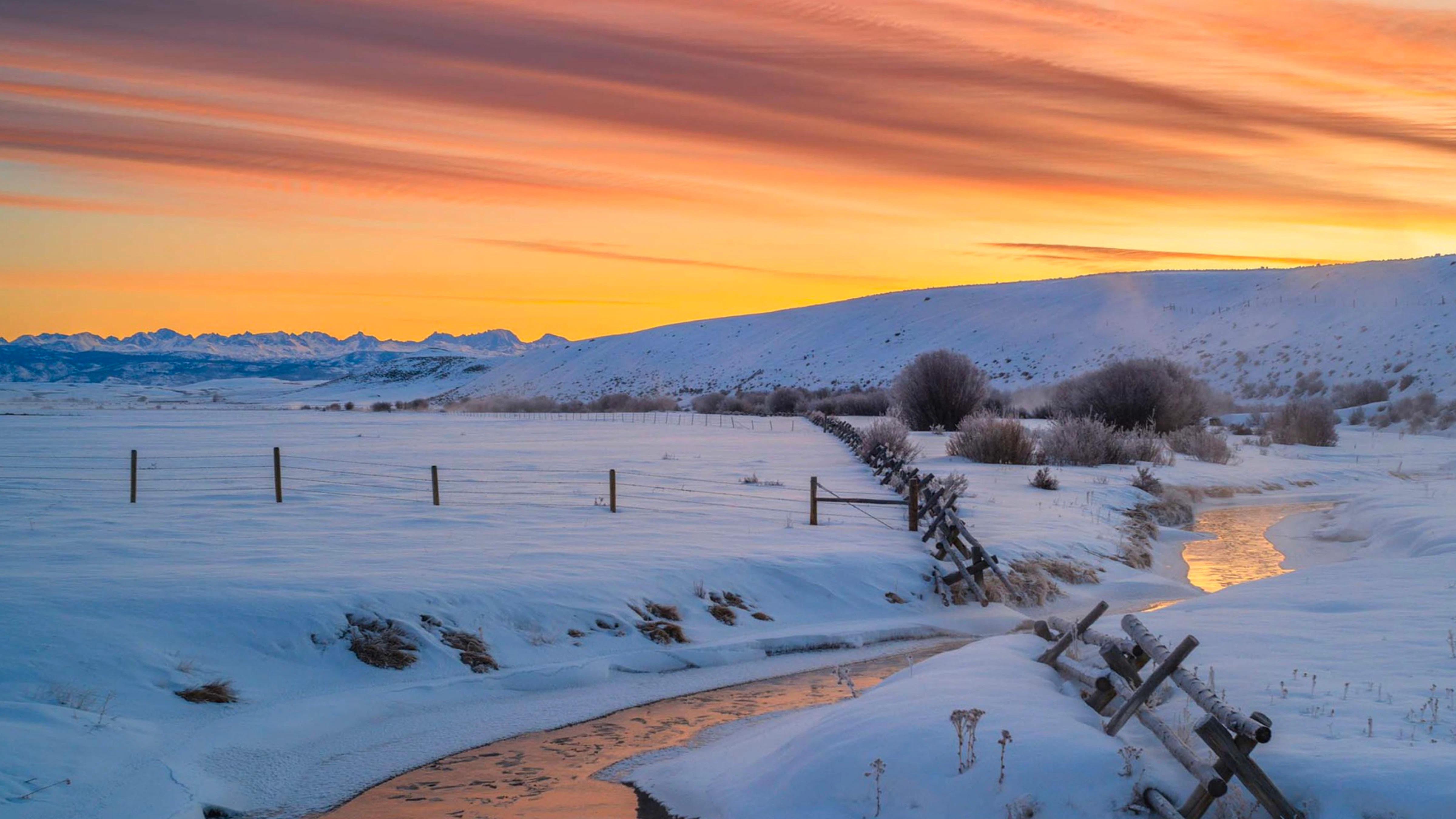
A historic snowstorm that slammed the mountains of California over the weekend is being measured in double-digit feet, not inches, and Jackson, Wyoming, is already seeing some of its leftovers.
Mammoth Mountain resort in central California received about 4 feet of snow that’s much-needed in the drought-stricken state. At Sugar Bowl Ski Resort, more than 7 feet of snow fell. That single storm, driven by strong Pacific Ocean weather patterns, increased the Sierra Nevada Mountains snowpack by 30% in a single weekend.
While the mountains of California were literally buried over the weekend, what was left of that prolific snowfall also made its way to Wyoming, or at least the western part of the state.
Most of Wyoming’s precipitation comes from the Pacific Ocean, but California's mountainous terrain tends to take most of the moisture. But this weekend’s storm was so strong that after burying California, it had enough left to dump on western Wyoming, too.
“Since Friday, Jackson Hole has gotten 70 inches of snow,” said Cowboy State Daily meteorologist Don Day. “That’s just short of 6 feet as of (Monday) morning.”
That’s great news for western Wyoming. But by the time the storm reached the parched plains of eastern Wyoming, there wasn’t much to go around.
This is just the beginning of March. Day said there’s a lot more to come, and every region of Wyoming will get a share of it.
“As it starts to get warmer this time of year, the storms get bigger,” he said. “A rancher friend reminded me of this last week, and that’s really true.”
Absorbent Mountains
There’s an established and well-observed trend when it comes to Wyoming weather. If a storm moves from the Pacific through the mountains of the West Coast with enough strength to reach Wyoming, western Wyoming gets most of the benefits.
“What ends up happening is the Sierra Nevadas and coastal mountain ranges take a big chunk of the moisture,” Day said, “but enough is left to get those big snow totals like the 70 inches at the Jackson Hole area.”
Looking at the numbers, nearly every snowpack in western Wyoming is at or above its 30-year median. Basins in southwest Wyoming sit between 112% and 117% as of Monday.
On Feb. 28, the stop sign on Togwotee Pass was around five feet away from being completely buried in snow. On Monday, the snow was only a few inches away from the bottom of the octagon sign, leaving around two feet to go.
Conversely, the snowpacks in northeastern Wyoming are all below 70%. Northwestern Wyoming and the Greater Yellowstone Region are doing better, but most basins are still below 90%.
A storm powerful enough to make it through western Wyoming will drop whatever moisture’s left on the rest of the state. This weekend’s monstrous storm is an excellent example of how those patterns impact the Cowboy State differently.
Day anticipates the current weather patterns will continue dumping snow in the western mountains. Anyone outside Jackson, Star Valley, and Evanston probably won’t notice anything happening.
However, unlike the previous storms of the current winter season, March storms behave differently and are more beneficial for the entire state. The “fast and furious” storms, like the polar vortex of mid-January, are giving way to larger storms with more staying power.

Marching Through Moisture
When it comes to a “monthly outlook,” Day believes much-needed moisture is on the way for the entirety of Wyoming. In the short term, the current pattern will continue favoring the mountains for the next two to three weeks.
“There’s more mountain snow coming from California or Washington, Oregon, Idaho, and the coast of British Columbia,” he said.
Eastern Wyoming might be kept waiting for now. In the long term, Day is “optimistic” that there will be a change in the wind in mid-March and stretching into April.
By mid-March, the giant storms moving from the Pacific Ocean should be strong enough to retain enough moisture and energy once they go up and over the mountains of western Wyoming. Day said that means more moisture for eastern Wyoming.
It Only Takes A Few
Over the next week, western Wyoming can expect several more inches of snow. Cheyenne and Laramie could get a moderate snow event by Friday, but the rest of the state should be chilly but clear.
Anyone nervous about the ongoing dryness in eastern Wyoming can take solace in what’s been happening in California. Day says it only takes a few storms to make a noticeable difference.
“The snowiest months, in terms of inches of snow, are usually March and April,” he said. “The southern and western drainages are seeing their snowpack growing. The Bighorn Mountains and the Black Hills are still looking at low snowpack, but a couple of spring storms can help fix that, too.”
Looks can be deceiving in March. The amount of daylight each day is slowly increasing, meaning snow falling on the plains won’t stick around as it would earlier in the year.
“The storms can produce a lot of snow, but it doesn't tend to last very long,” he said. “You’ll get a big March storm, and it can melt away in two or three days. That's just the time of year we're at.”
A storm like the one that buried California at the beginning of March isn’t in the forecast for most of Wyoming. But Day stresses his optimism that Wyoming’s spring will be sufficiently saturated.
“For the folks on the plains that are itching for it for a snow event, it's coming,” he said. “Not in the next five or six days, but probably towards the middle to the end of the month and into early April.”
Andrew Rossi can be reached at arossi@cowboystatedaily.com.


