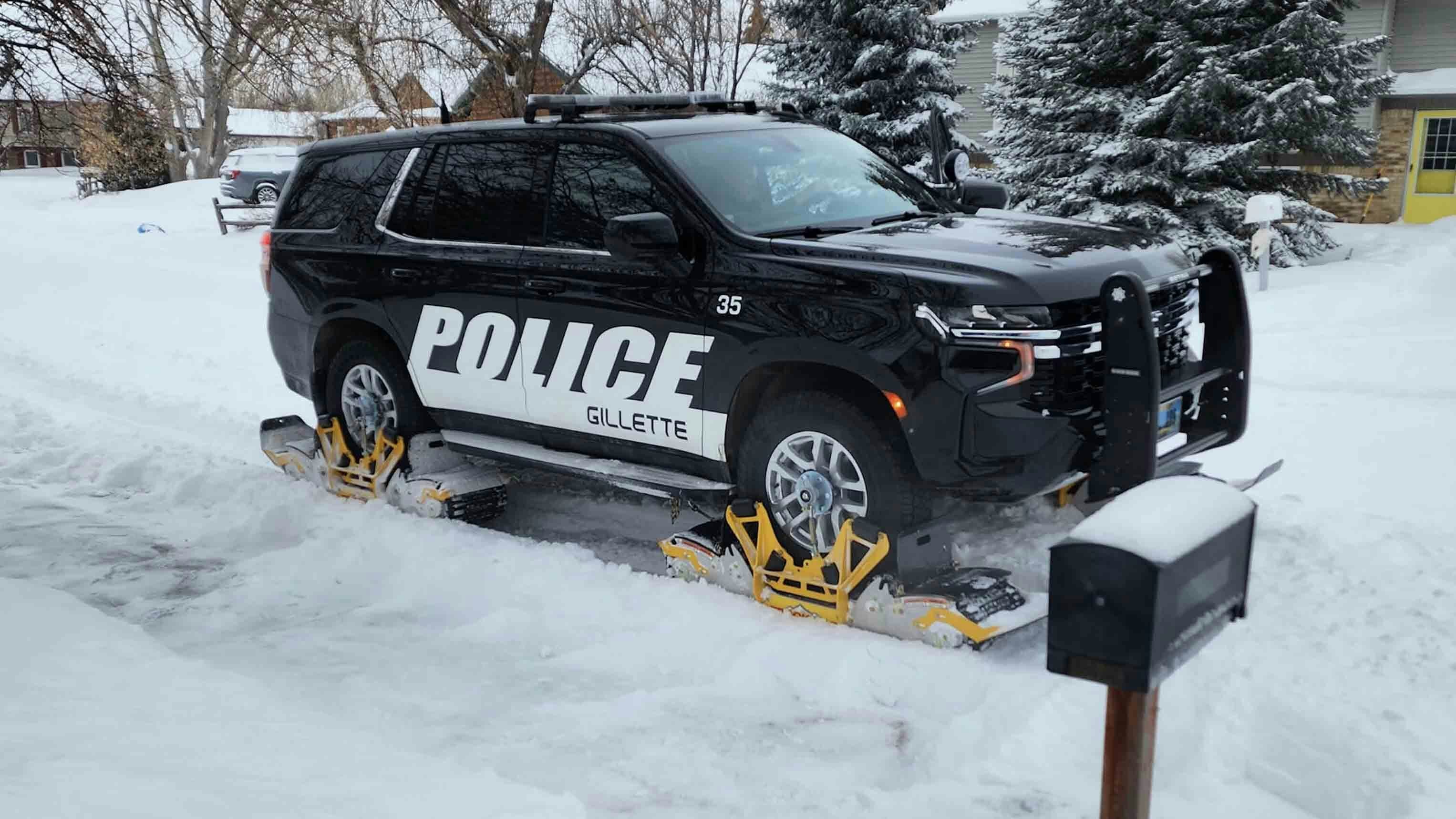
Another week of winter weather is in Wyoming’s forecast, but this pattern has a northern bias. Regions of the Cowboy State that have gone without much snow this season should get plenty.
The National Weather Service office in Riverton has issued a Hazardous Weather Outlook for western and central Wyoming, and a Winter Storm Watch is already in effect for the western mountains from Wednesday night to Friday morning.
There could be more than a foot of heavy snow in the western mountains, with a chance for an inch or more in the lower elevations, the NWS reports.
Cowboy State Daily meteorologist Don Day said this is a clear switch from previous winter weather patterns that have moved through Wyoming this season. Previous storms have had a southern Wyoming focus, but this week’s weather should have the greatest impact in the north.
“It's going to be wintry in a part of the state that has really missed a lot of a lot of the weather that's been more directed towards the southern part of the state,” he said.
Wyoming’s Winter (So Far)
The overall trend of the 2023-2024 winter season has been warm and wet. However, while warm temperatures have been felt everywhere, the wet weather has been oriented southward.
Looking at the state’s snowpack levels reveals the pattern. Snow water equivalents (SWE) in south and southcentral Wyoming are between 75% and 97% of their 30-year median amounts, and some basins in southwest Wyoming are over 100%. Meanwhile, SWEs in north and northeast Wyoming are between 55% and 85%.
Most of the heavy snowstorms have smothered southern Wyoming with snow, while northern Wyoming has stayed warm and dry. That’s a result of the ongoing El Niño, which has finally settled into its predicted patterns after its season started erratically.
The weather arriving this week is discernibly different. Day anticipates it will finally feel like winter in northern Wyoming, with heavy snow and colder temperatures.
“I wouldn't call this earth-shattering winter weather,” he said, “but I think the highlight is that it's going to be winter in some parts of the state that haven't had a lot of winter, especially the north and the northeast.”
Day said the Interstate 90 corridor from Rapid City, South Dakota, through Sundance to Gillette will get a good amount of snow and cold, as will other northern Wyoming communities like Buffalo, Sheridan and Cody. There could be several periods of snow over the next three days, with heavy snow in the Black Hills, the Bighorns and the Absarokas.
As for snow accumulation, the NWS Riverton is already calling for a foot or more in the mountains. Day expects between 1 and 4 inches in the lower elevations.
“It's not going to be big for the lower elevations,” he said,” but this is going to be a really good snow for the northern and western mountains to give the snowpack a boost.”
When?
Based on the incoming pattern’s trajectory, Day expects the greatest impact of this week’s winter weather to arrive Wednesday night and persist through Friday. For anyone traveling, that means blowing snow, reduced visibility and slick surfaces on highways.
Temperatures will get colder, but thanks to the freshly started solar spring, the days of subzero windchills are nearly gone. Daytime highs in Cody, Buffalo and Gillette will be in the high 20s and low 30s, while overnight temperatures should stay away from the single digits, even with windchills.
In Yellowstone, Old Faithful could get as much as 13 inches of snow by Friday morning. Jackson won’t be far behind, with up to 8 inches during the same period.
After that, a warmup will melt the newly fallen snow in the lower elevations, with daytime highs in the 40s. However, Day said the snow will keep falling and sticking where it’s needed most.
“The mountains are going to be in a pattern this weekend and early next week,” he said. “While it may not be doing what's down low, it will continue up high. And that's true over most of Wyoming's major mountain ranges.
“It's going to stay as an active pattern, but it'll be more focused on the mountains once we get into the weekend and early next week.”
Andrew Rossi can be reached at arossi@cowboystatedaily.com.


