The longest highway in America contains a 20-mile section of roadway in Wyoming that was — at the time — America’s most expensive section of road.
The section cost $1 million to construct, according to old newspaper accounts, and nearly bankrupted the company that was building it. That seems nearly nothing by today’s standards, but more than a century ago, a $1 million for a government construction project was huge.
It also cost more than one man his life, thanks to premature dynamite explosions, rockslides, falls, drownings and other problems that plagued the efforts, which began in the summer of 1922.
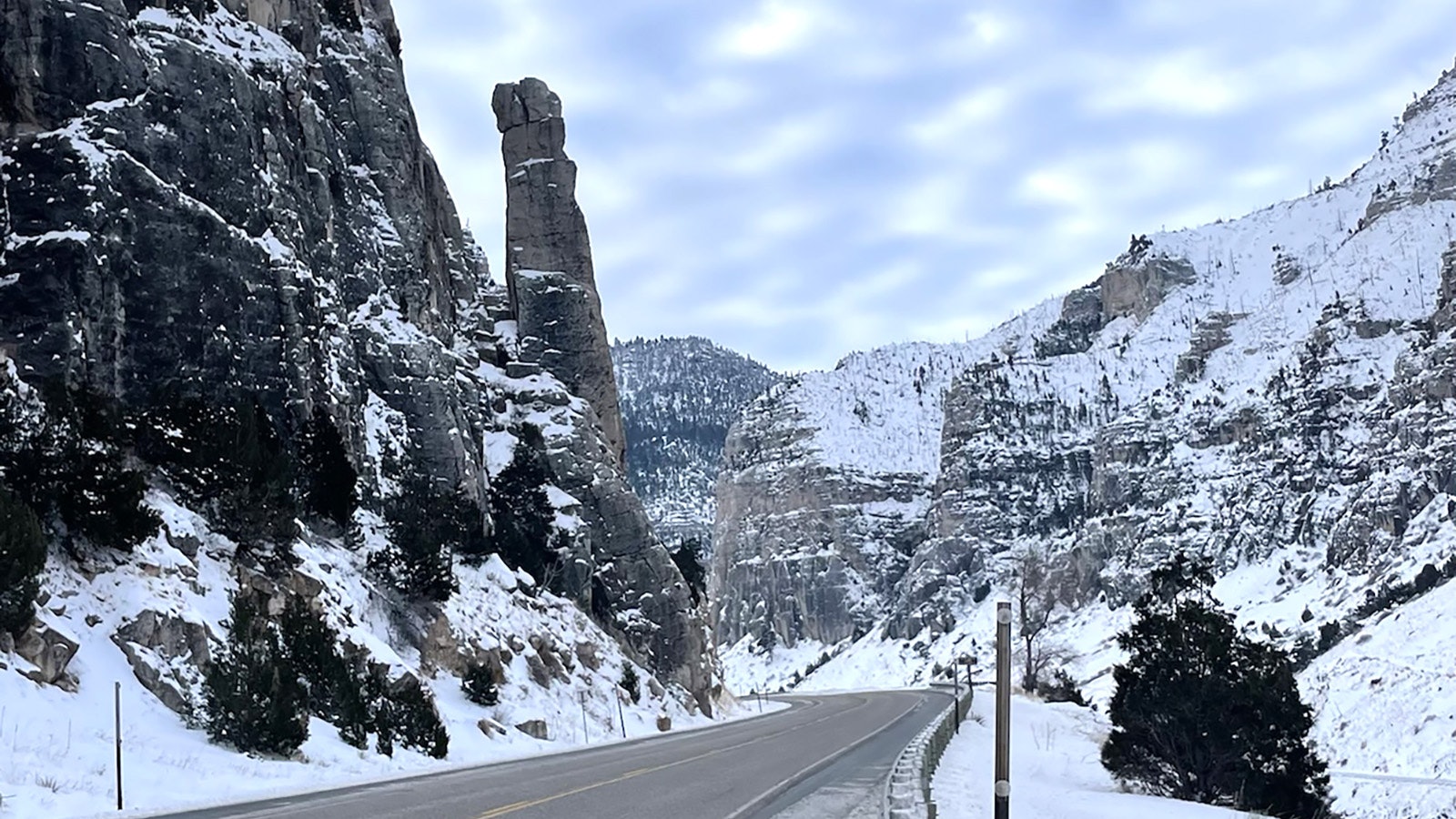
The dearly bought stretch of highway is part of what is now known as the Wind River Canyon Scenic Byway. The troublesome section of highway that’s also a 2 billion-year geologic journey through time will turn 100 this summer.
Thermopolis Tourism Director Jackie Dorothy is working on plans to celebrate the anniversary with a Sunday bus tour, as well as stickers to commemorate the occasion, and a complete history of the ambitious project.
That will include oral histories Dorothy is collecting from descendants of those who worked on the project in the Thermopolis area.
“I love hearing people’s personal stories and family traditions,” Dorothy said. “People talk about honking their horns or about their grandparents working on it.”
Among the stories are residents who recall the tales of enduring stagecoach travels — including robberies — suddenly being replaced with easy-peasy drives in a Model T.
“That just shows how fast the technology was moving there,” Dorothy said.
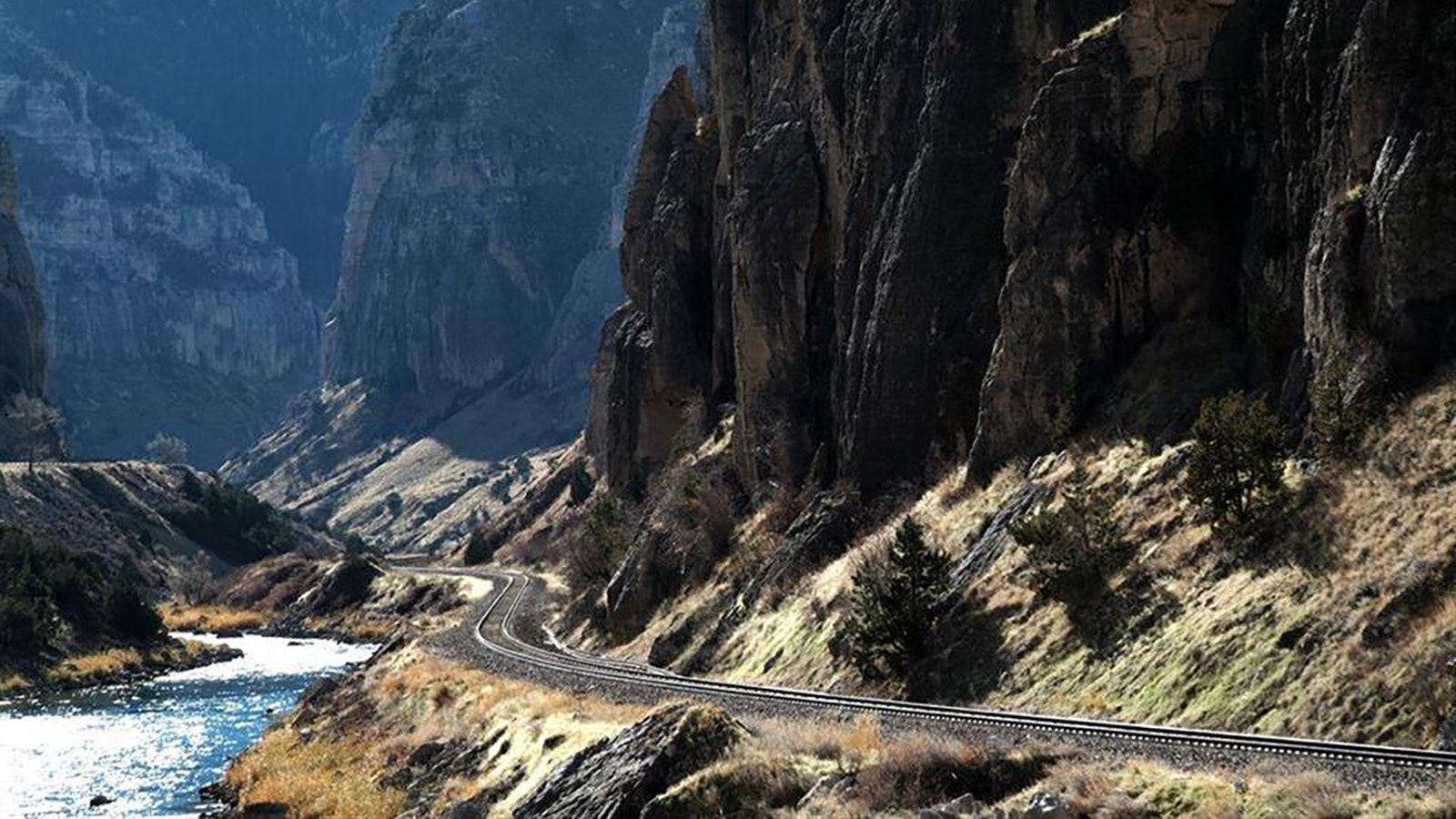
On one side of the Wind River is its 100-year-old scenic byway, left, and the other is the railroad. (Travel Wyoming) 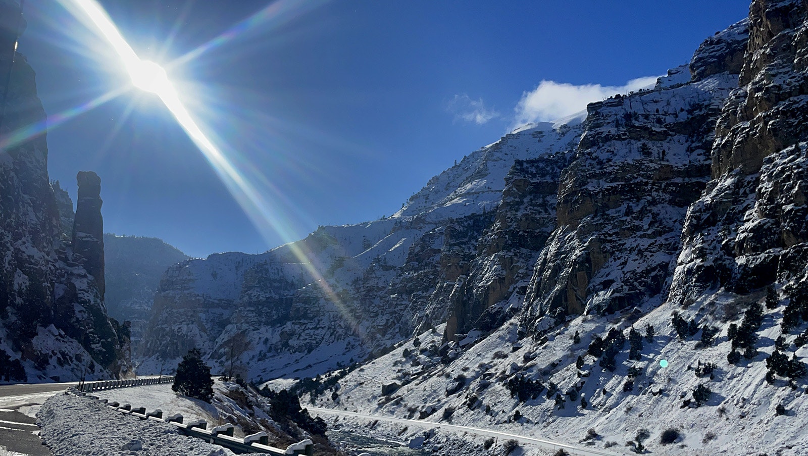
Wind River Canyon Scenic Byway at a landmark known as Chimney Rock. (Courtesy Jackie Dorothy) 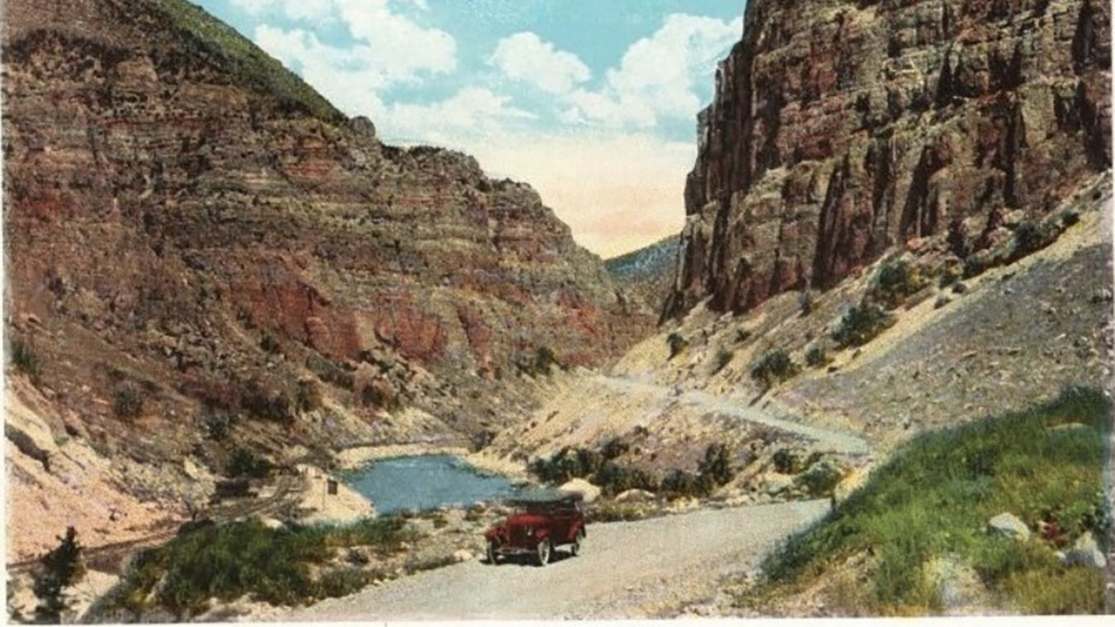
This vintage post card shows the road that became the Wind River Scenic Byway. 
The 20-mile section of U.S. Highway 20, aka the Wind River Scenic Byway, turns 100 this year. (Windriver.org) 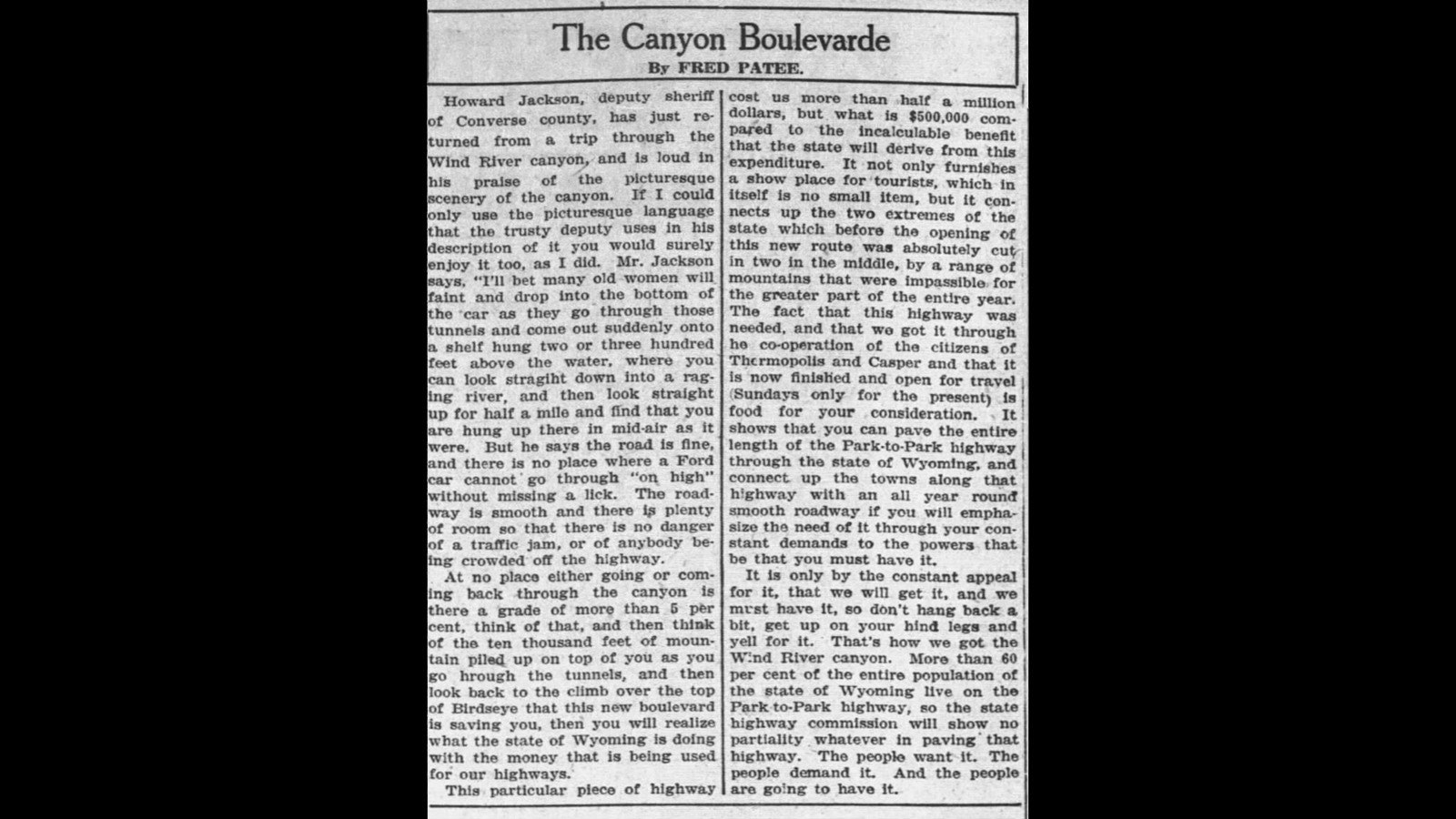
Wind River Canyon is the subject of this 1924 article in the Casper Star-Tribune. 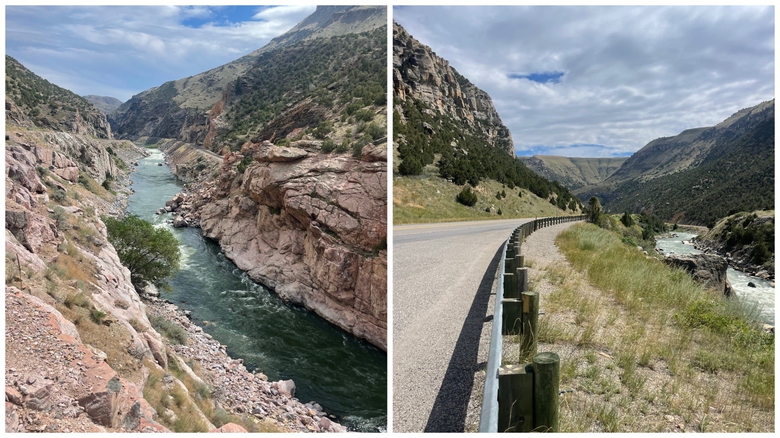
Wind River Canyon in Wyoming.
Cut Off From Society
At the turn of the century, much of the Big Horn Basin, which includes Thermopolis, Cody, Powell, Lovell, Greybull and Worland, became something of a world unto itself during winter.
There were no good roads into or out of the area, due to the mountainous terrain.
Chicago, Burlington, and Quincy Railroad, Burlington Northern’s predecessor, had built a railroad through the Wind River Canyon on the west side, creating limited access to some areas, but the only other options were a stagecoach route that went up over Birdseye Pass, impassable half of the year, and another route that passed through Lost Cabin. That wasn’t much better and took a lot longer.
The Wyoming Highway Commission and the Wyoming Highway Department were established in 1917, just two years after automobiles were allowed in Yellowstone Park. They recognized connecting the transportation dots for the Big Horn Basin as one of the highway department’s most pressing problems.
Still, it took them five or so years to gain the political will — as well as the necessary funding — to do anything about it.
The Good Road Clubs
Adding steam to the effort was the opening of Yellowstone Park to automobiles in 1915. Wealthy automobile owners from around the country advocated for better routes to one of their favorite haunts.
One group succeeded in getting what it called the Yellowstone Trail — routes for automobiles were called trails at that time rather than roads — completed along the upper tier of states from Boston to Washington, with a stop at Yellowstone along the way.
That route entirely skipped Wyoming, but there were plenty of wealthy automobile owners south of Wyoming agitating for a better route to Yellowstone as well.
In fact, Good Road Booster Clubs started popping up all along what they took to calling the Yellowstone Highway in Colorado and Wyoming.
Every major city along the route had a Good Road Booster Club. Some of those clubs eventually became chambers of commerce, such as the one in Douglas.
To draw attention to their idea, they placed painted yellow stones all along the route and were no doubt instrumental in helping build political will for what would prove to be a very expensive undertaking.
A Small Army
In the summer of 1922, 450 men — enough for a small town — converged on Wind River Canyon with five steam shovels and dozens of teams of horses to begin their work.
Coyote holes were leveraged to make some of the heaviest road cuts, blasting away with dynamite.
Even with dynamite, though, the work was very slow-going. They were, after all, trying to cut through solid granite. The mountain wasn’t going to yield her territory easily.
In the narrowest portion of the canyon, where there was barely room for the river itself, the workers were forced to blast three tunnels into the rock in all.
It took all summer to get through two tunnels, leaving the third for another year. Flooding in 1923 washed out railroad bridges, inundated tents, and wiped out some of the new road’s progress, further delaying things.
By January 1924, however, the road was complete enough that about 100 people in 21 passenger cars could navigate the new road.
At the head of the procession was Arthur K. Lee, who’d sponsored a bill for the road in the Wyoming Legislature. Fred Holdredge, who had sponsored three bills, was also along for the parade as well.
Other dignitaries included State Highway Superintendent Leroy E. Laird, several state engineers, the state treasurer at the time, and many others.
A.H. Chirstsensen of Utah Construction served an elk dinner to 75 guests at the no longer existing community of Boysen, where an informal dedication was held.
The town was located near the original Boysen Dam. The latter had to be torn down after flooding in the 1920s. Remnants of Boysen can still be seen from the Lower Wind River Campground.
The project at that point had another six months to go, but engineers decided to open the road on Sunday afternoons so eager sightseers could enjoy the beautiful canyon drive.
In July, there were rodeos, ball games and boxing matches to celebrate the highway’s completion.
The festivities included a parade through the canyon, and, at the end of the parade, a bottle of mineral springs water was broken over a boulder, according to one newspaper account.
Rave reviews were printed in newspaper after newspaper, touting both the ease of the new route, as well as its stunning geology.
Cost Overruns
While initial estimates suggested the 20-mile section of highway through Wind Canyon would cost $400,000, the final figure was more like $700,000, according to highway department literature.
Other sources from the time, however, suggest that Utah Construction had all but lost its shirt over the project. The company unsuccessfully sued for $1 million, contending that many specifications had been changed by state engineers during the project, dramatically pushing up the project’s overall cost.
The company was not successful in recouping any of those costs, but the suit does suggest the final costs were more than the $700,000 listed by the state at the time.
Today, one doesn’t have to wonder what the canyon route looked like then.
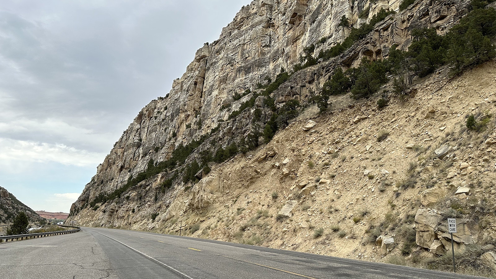
The highway might be a little wider today, and it’s paved instead of oiled gravel, but the view is just as spectacular as it was then.
The Wind River Scenic Byway, which is 34 miles in all, has many pullouts where travelers can stop to take in the spectacular view. The route is still a favorite for people headed to Yellowstone National Park.
The canyon walls show both manmade and natural cuts, exposing a geological record of time on towering canyon walls that rise 2,500 foot in height.
The 20-minute drive is a sight to behold. The geological layers that are so evident on the canyon walls are themselves a journey through time, taking travelers back 2 billion years.
The northern end of the Wind River Canyon, opening up to the Bighorn Basin. A trip through the Wind River Canyon is a chronologically accurate trip through several layers of rock spanning 2.5 billion years. (Andrew Rossi, Cowboy State Daily) 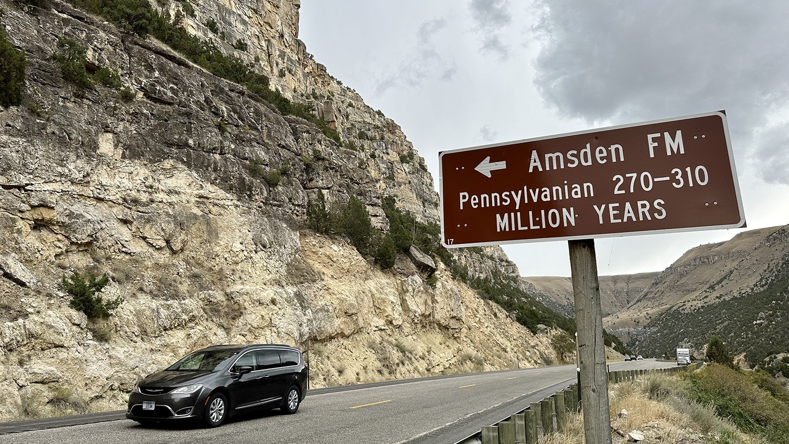
A road sign points out the Amsden Formation near the northern end of the Wind River Canyon. The five most significant rock layers in the canyon are marked by signs telling the name and age of the rock. (Andrew Rossi, Cowboy State Daily) 
A view of the Wind River Canyon from one of the pullouts on U.S. Highway 20. (Andrew Rossi, Cowboy State Daily) 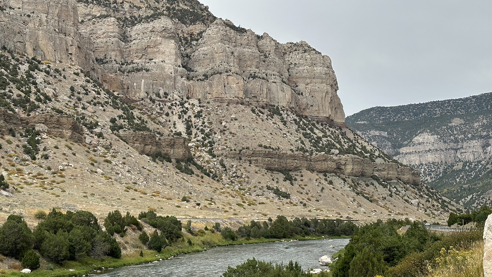
A view inside the Wind River Canyon. At least five different rock formations are visible in this image, and at least 12 rock formations are exposed along the 17 miles of canyon walls. (Andrew Rossi, Cowboy State Daily) 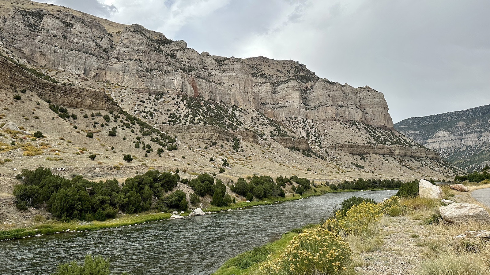
A view inside the Wind River Canyon. At least five different rock formations are visible in this image, and at least 12 rock formations are exposed along the 17 miles of canyon walls. (Andrew Rossi, Cowboy State Daily) 
Drivers stop to take in the Great Unconformity on the southern end of the Wind River Canyon. (Andrew Rossi, Cowboy State Daily) 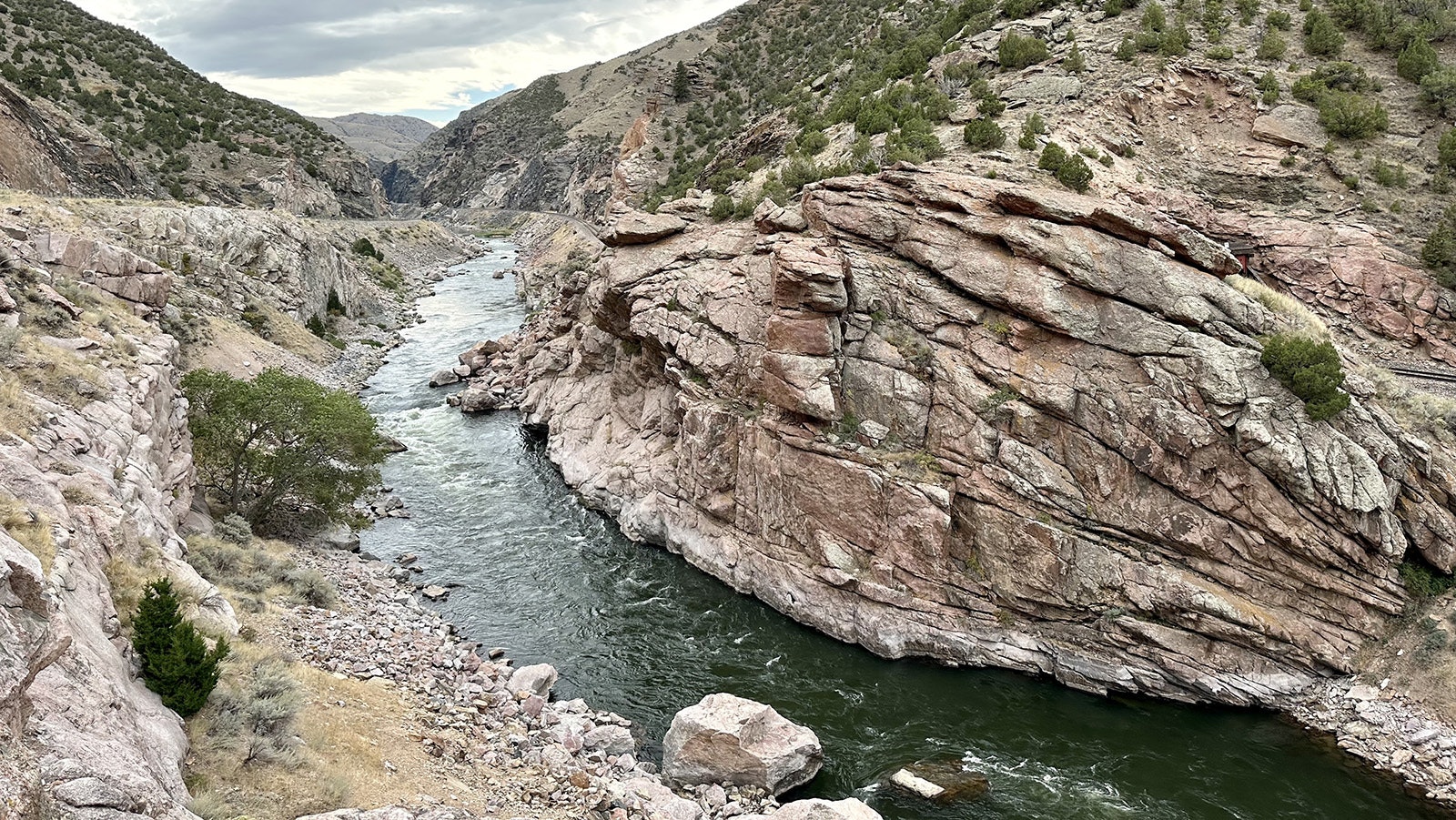
The Great Unconformity at the southern end of the Wind River Canyon. The gap between the black and pink Precambrian granite at the waterline and the juniper-covered Flathead Sandstone above it is 2 billion years of Earth's history that's vanished. (Andrew Rossi, Cowboy State Daily)
Renée Jean can be reached at renee@cowboystatedaily.com.


