For the first time this season, snow accumulation is in Wyoming’s forecast. And this time, it’s sticking.
The National Weather Service Office in Riverton is calling for the highest points of the Cowboy State to get snow later this week, and for some of that snow to stick around.
“We have a Pacific system coming through Wyoming, bringing some cooler temperatures and wet weather. With those temperatures, the snow levels look to drop to 10,000 feet, or as low as 9,000 feet. Any places above that could see some snow,” said NWS Riverton meteorologist Taylor Wittmann.
Snow should start falling at the highest points of the state Thursday. By Friday and Saturday, it could be cool enough for areas at 9,000 feet elevation to see some snow, and possibly the accumulation of a few inches.
Standard For September
Wittman said it’s not uncommon for higher elevations to see snow levels drop at this point in the year, especially as cooler, wetter weather systems start to move in. This week’s system and the snow it will bring is standard for late September in Wyoming.
"It's been warm,” he said. “This is the first system coming through. Unless you're backpacking or hunting or doing something in the mountains, there probably won't be too much of an impact elsewhere.”
Cowboy State Meteorologist Don Day said certain areas of the state are more likely to get a good dusting of snow by Saturday, which is “pretty much on schedule” for Wyoming’s weather.
“Snow is looking likely, especially in the western and northern mountains by Friday and Saturday, especially around Yellowstone National Park, the Grand Tetons and the Wind River and Big Horn Ranges,” Day said. “There could be a little snow in the southern mountains as well.”
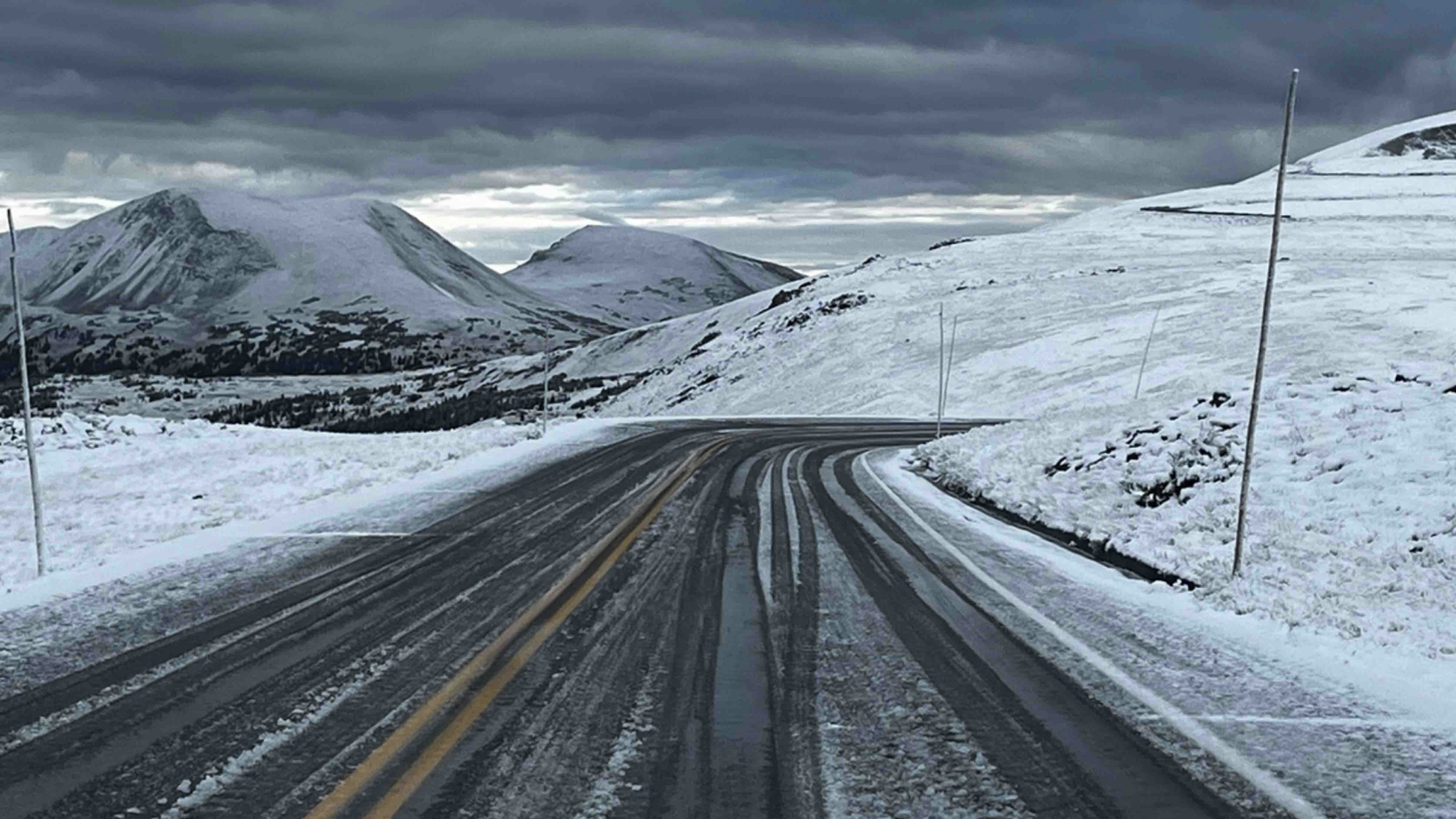
This week’s snow shouldn’t affect most Wyoming residents since it will stay confined to the highest elevations. The greatest impact will be on anyone traveling over one of the state’s mountain passes.
“Some snow will stick, probably around 3 to 7 inches at elevations 9,000 feet and above,” Day said. “It might be slick over mountain passes in the north and west on Friday night and Saturday. Otherwise, there shouldn’t be any other road impact people need to be aware of.”
Drivers traveling over the Teton, Powder River and Togwotee passes and the Beartooth Highway might want to have their antifreeze ready and take the turns a bit slower if the roads get damp. But chains aren’t required yet.
Otherwise, everyone living below 9,000 feet elevation can still savor the final days of Summer 2023.
Colder Colorado
Anyone who feels it's too soon for snow should be happy they’re not in Colorado. Wyoming’s southern neighbor got their first snow of the season a week ago.
Pikes Peak, Longs Peak, Loveland Pass and Rocky Mountain National Park all experienced snowfall during a Sept. 11 storm. The first snow of the season never accumulates, and most of it melted without causing much fuss.
However, the first snow in Colorado was later than expected this year. For the last two years, the first snow at the same elevations was reported in mid-August. No accumulation is expected until mid-October, which is historically when Denver sees its first snow.
Andrew Rossi can be reached at arossi@cowboystatedaily.com.


