Long before the West was “settled,” highways connected towns and before we became entangled in a digital existence, people traveled on trails.
Many of these perpetually changing historic trails — these dirt and gravel-packed paths that lead us through dense forest, past alpine lakes and through rugged mountain passes — are thousands of years old.
To our ancestors, trails were important for commerce and survival. For today’s users, recreation is focus No. 1.
Many of the trails in northwest Wyoming lead into and through wilderness areas. For that reason, among others, encounters on these thoroughfares is an important management challenge.
In Wyoming, the least-populated state in the nation with huge stretches of nothing underneath its network of historic trails, trail use is important for recreation and historic preservation.
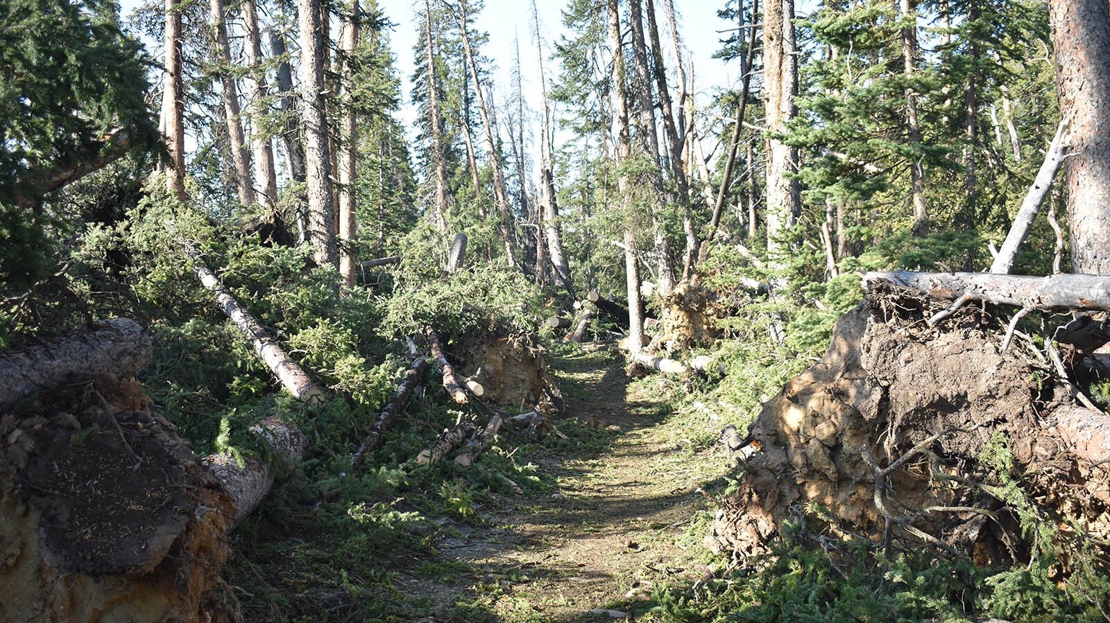
A wind storm Sept. 7, 2020, blew down thousands of trees along the Elkhart Trail. (Photo Courtesy USDA Forest Service) 
A wind storm Sept. 7, 2020, blew down thousands of trees along the Elkhart Trail. (Photo Courtesy USDA Forest Service)
Trail Science
The U.S. Forest Service recently released some preliminary trail use data from the Wind River Mountains inside the Bridger Wilderness to Cowboy State Daily.
A pair of experts interpreting the data say it’s more important to look at trends than sheer numbers of trail users. The number of clicks counted by a trail monitoring device can be used to help gauge impact on the land, but it’s only one of many tools used to make management decisions.
Hidden in the brush near several trailheads are devices that count the foot and hoof traffic that passes by.
According to the USFS data, hundreds of day hikers, backpackers, through-hikers, outfitters, campers and fishermen use the most popular trails every summer day. The numbers collected from the Bridger Wilderness trailheads have remained fairly consistent from 2017 to 2022.
This USFS data shows the following trail count clicks for the month of August 2022:
· Big Sandy Trailhead: 8,740
· Elkhart Trailhead: 8,949
· New Fork Trailhead: 1,693
· Scab Creek Trailhead: 1,577
Evan Guzik, spokesman for the Bridger-Teton National Forest, said over the six years of data collected (2017-2022), the numbers are relatively stable.
“Obviously, the number of counters we have out is not a representation of the number of trails we have,” Guzik said. “So, it’s not an accurate representation of who’s in the wilderness. They could come in on a trailhead with a counter and leave from a trailhead without a counter.”
What’s Trending
Trail counters are a good tool, but it’s far better to examine long-term trends to get a comprehensive picture, he added.
As an example, a “massive wind event” clocking wind speeds of 60 mph on Sept.7, 2020, blew down thousands of trees in the Bridger Wilderness Area. Downed trees blocked the Big Sandy and many other trails, which were closed for several weeks.
Trail counter data shows an uptick during this period on some trials, especially Big Sandy. Guzik said the data reflects more hikers going out and back on that trail after the blowdown rather than the through trips it’s known for.
“Lots of little things like that are all just part of a larger picture,” Guzik said.
Like A College Frat Party
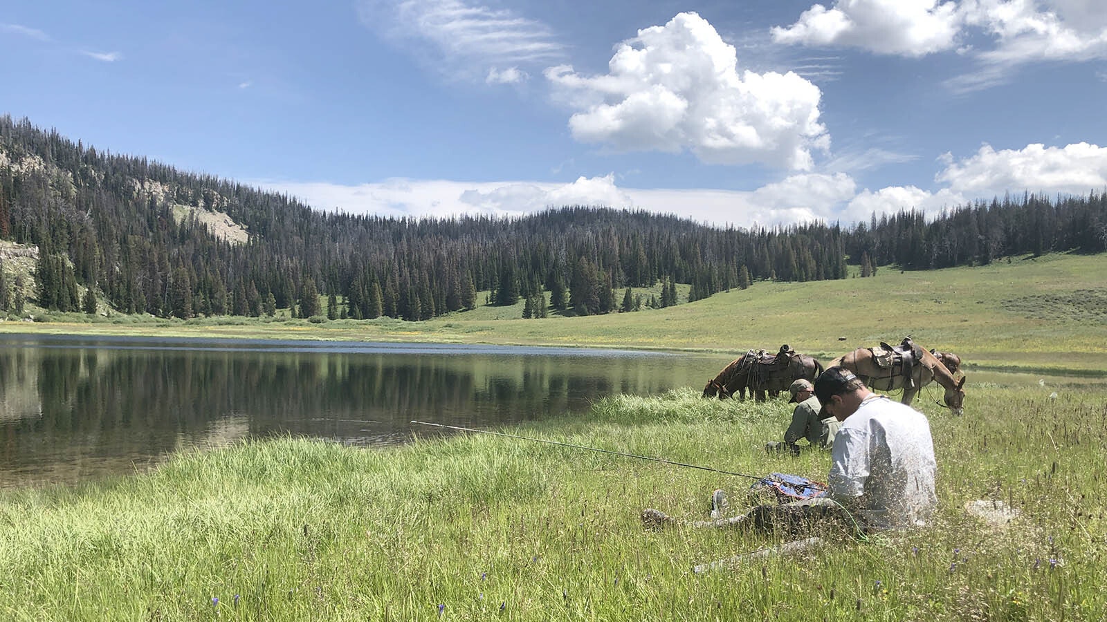
On some weekends, areas in the Wind Rivers, like Seneca Lake and Island Lake, can look like a college frat party.
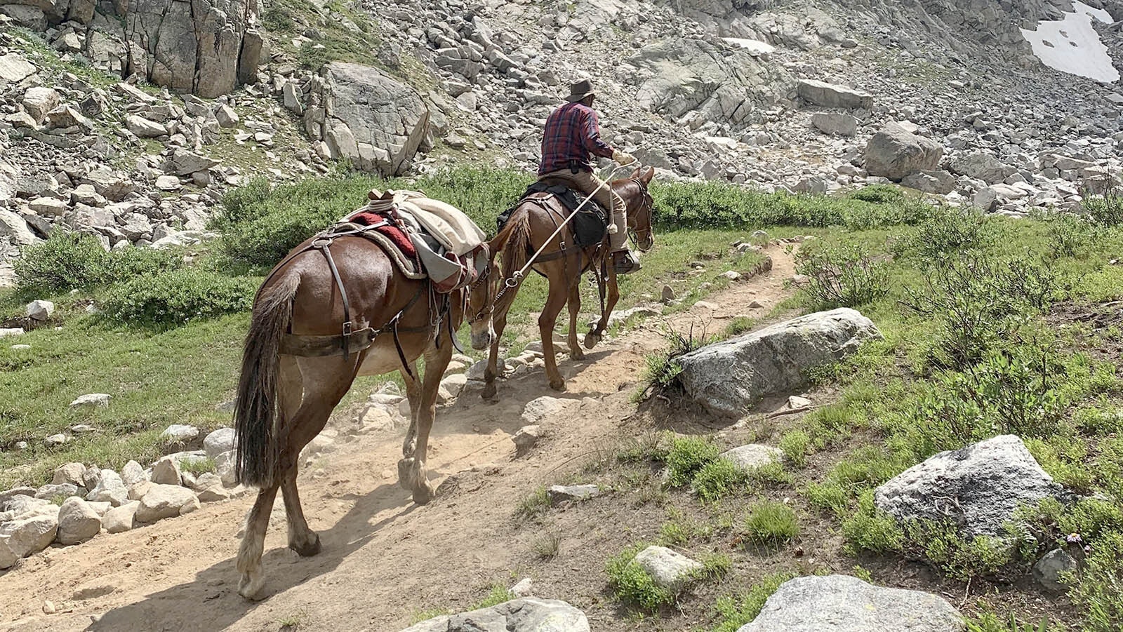
Young people are jumping off cliffs, swimming and sunbathing. Others set up dozens of tents and soak tired, hot feet in cold water. Pack strings of horses and mules carry tourists and gear to camp sites. Those animals are then hobbled and turned out to graze.
The Wild Wilderness
The Wilderness Act was passed in 1964 and the Bridger Wilderness Area was one of the first four recognized. Others include the Boundary Waters Canoe Area in Minnesota, the Bob Marshall Wilderness in Montana and the Ansel Adams Wilderness in California.
Today there are 750 wilderness areas nationwide encompassing nearly 112 million acres.
It’s important to note that the rules are vastly different inside a wilderness area as opposed to a national forest. Power tools, wheeled vehicles and almost anything powered by an engine are not allowed.
Guzik said every tree inside the wilderness boundary that was cleared as a result of the 2020 blowdown was cut by hand with an axe or crosscut saw.
The fear that wilderness areas are being “loved to death” is top of mind for wilderness managers.
Hard data that can be correlated is always more valuable than anecdotes, said Jay Sammer, wilderness and recreation program manager, Bridger Teton National Forest, Pinedale District.
Enforcement Is Key
A monitoring effort on wilderness use as it relates to the quality of solitude and human impacts will begin this year inside the Bridger Wilderness and continue into perpetuity in five-year stretches, Sammer said.
Patrol presence and managing for existing regulations regarding camping setbacks from water sources and trails, fire regulations, size limits on groups, stock permits for horse and mule trips, organized group permits and others already on the books are important but only as useful if enforced.
“Take something as simple as littering,” Sammer said. “Even though it’s illegal, if you don’t enforce it, it does nothing. So, we look to have good patrol presence to provide educational and interpretive information and law enforcement action if and when necessary.”
A couple of other important notes for visitors prior to entering wilderness areas are to seek out the existing special orders listed on the USFS regional websites, look for signage and social media information, and spend time upfront preparing for a trip.
“It’s important for folks to know that we are not trying to make their lives more difficult with regulations,” Sammer said. “There are good reasons for camping setbacks from water or group sizes. Resource protection and maintaining solitude in wilderness areas is very important to us.”
According to USFS, the Bridger Wilderness extends 80 miles along the Continental Divide. It is home to seven out of 10 of the world’s largest glaciers and over 600 miles of trails. The highest point in Wyoming, Gannett Peak (13,809 feet), rests on a shared boundary with the Fitzpatrick Wilderness.
The Wind River Range was carved by glaciers out of pristine granite. Sammer says that’s one of the many aspects that makes these mountains unique and well-known known the world over.
Contact John Thompson at John@CowboyStateDaily.com