Wyoming will experience the coldest temperatures of the season this week with sub-zero lows being commonplace around the state, according to meteorologist Don Day.
Day said Monday that severe cold temperatures with severe wind chills dropping temperatures to 30 to 40 degrees below zero will occur in most areas of the state beginning on Monday night.
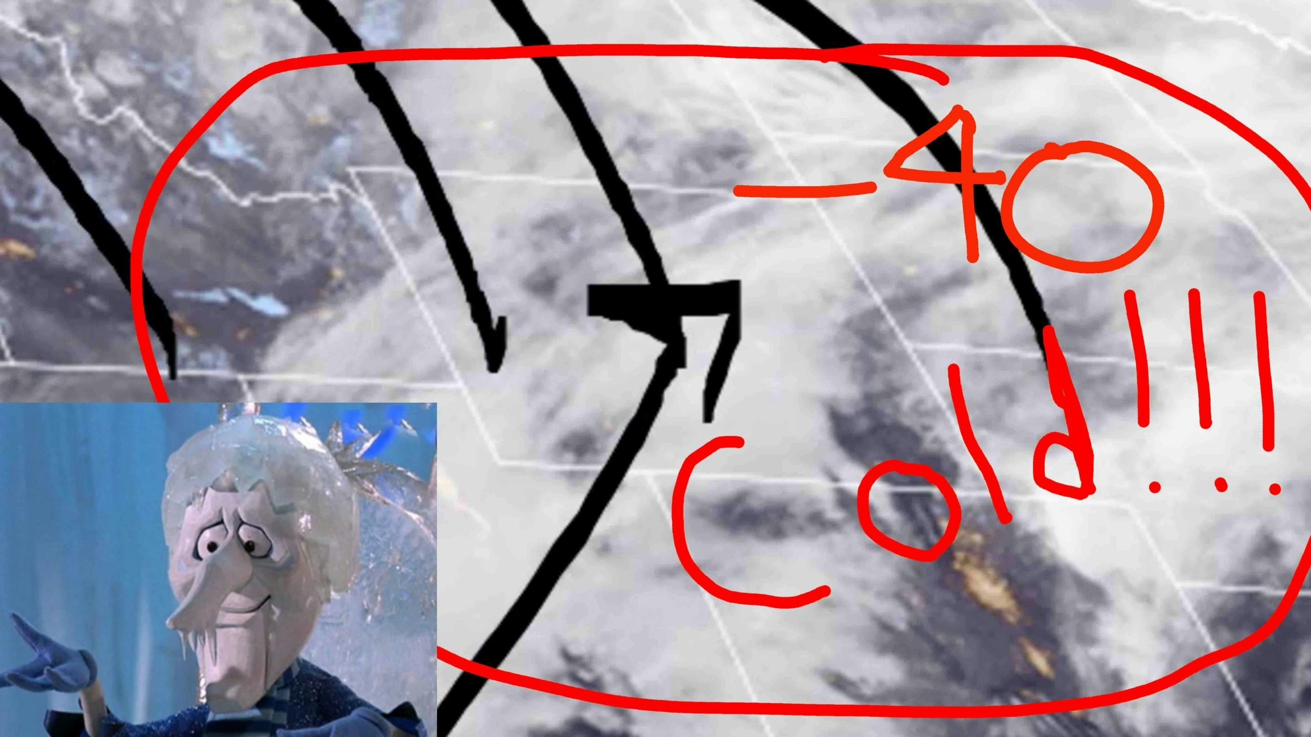
“Be ready for the big chill,” Day said. “It’s here. It’s not turning back. We’re going to have to deal with it through Friday.”
Day, in his morning forecast, produced a map showing the likely wind chills this week. Greybull and Basin may get the worst of it with a forecasted 42 degrees below zero possible.
The map also showed that every corner of the state will be affected by the wintry blast .
As for snow, Day cautioned that long portions of Interstate 80 from Sweetwater County to Albany County could be affected by snow and by high winds.
Southern central Wyoming appears to be the target of the most severe weather.
While Rock Springs and Laramie each had winter weather advisories posted, parts of Carbon County, including Rawlins, were under a winter storm warning, with snowfall of 6 to 12 inches forecast for Monday and Tuesday morning, along with wind gusts as high as 40 mph.
In northern Wyoming, Sheridan was under a winter storm warning until 6 a.m. Tuesday as forecasts called for up to 3 inches of snow with high winds leading to drifting snow and wind chills as low as 20 degrees below zero.
East-central Wyoming was under a wind chill warning through Thursday morning, with forecasts calling for wind chills as low as 40 degrees below zero.
The towns of Douglas and Lusk could receive 6 inches of snow in addition to the cold temperatures.
Wyoming’s two largest cities will be affected as well, Day’s forecast showed, with expected to receive more snow than Cheyenne.
The heaviest line of snow in central Wyoming was expected to occur along and south of a line from Jeffrey City to 20 miles north of Casper. Wind gusts in this area could top 45 mph.
In Cheyenne, meanwhile, a wind chill advisory was posted through Thursday morning with temperatures expected to drop to 9 degrees below zero and wind chills expected to plunge to 30 below.
Day said the weekend will warm up, but he expected another wintry blast heading into next week.
“We have what could be a large Western storm right around the fifth of March or the next weekend after this one,” he said.


