As Don Day said in his Monday morning forecast, “the winter storm is on schedule.”
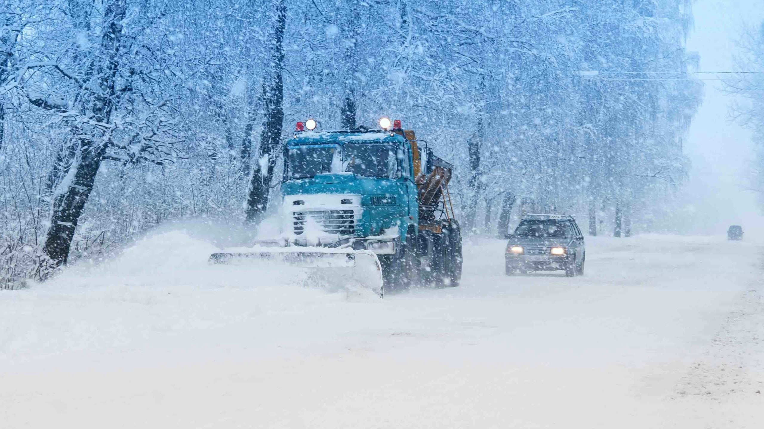
Much of the state is expected to see snow Tuesday, and Day said that travel along Interstate 25 will likely be impacted due to the wintry weather.
“You do not want to be caught unprepared for this storm,” Day said.
The areas in southeastern Wyoming, such as Cheyenne and Laramie, that are not hit with snow on Tuesday and Wednesday will likely see stronger winds and rain.
Much of the mountainous areas in Wyoming, Colorado and western South Dakota will be severely impacted due to the snow. A winter storm warning is in effect for the Casper, Shirley Basin and Garrett areas, according to the National Weather Service in Cheyenne.
The southwestern portion of the state, including Rock Springs, Kemmerer and Evanston, will see anywhere from one to three inches of snow on Tuesday. Jackson and Afton are predicted to see about one to two inches of snow, according to the National Weather Service in Riverton.
Although the forecast for the eastern slope of the Rocky Mountains calls for almost a foot of snow, not all of that will pile up, according to Celia Hensley with the National Weather Service in Riverton.
“It is going to snow through pretty consistently for the next 12 to 24 hours, maybe longer,” Hensley said. “But because the surface temperatures are warm, since it’s been in the 50s 60s over the last couple of weeks, that’s not what you’re going to see on the ground. What you’re going to see on the ground is whatever sticks – which will start to stick probably this evening, once the sun goes down.”
Hensley points out that road conditions from Cody south to Lander will most likely be wet rather than snow-covered, due to higher surface temperatures – but what people need to most watch out for is heavy, snow-laden tree limbs.
“Overnight tonight, when the snow does start to stick, it’s going to start to stick to the trees as well,” she said. “You’re going to have gusty winds potentially come in, and that could lead to some tree damage and localized power outages for the Cody area down towards Thermopolis. Any snow that sticks to the trees is going to be heavy and wet and could bring some limbs down, potentially some full trees down.”
Hensley clarifies that the majority of the snowfall will be west of the Continental Divide – so places like Jackson and Star Valley won’t see much in the way of precipitation.
“In Jackson, we’re only looking at an inch or two falling,” she said. “And, again, it’s not likely going to stick to the roads, or maybe you’ll get an inch of slush on grassy surfaces overnight.”
Over in northeast Wyoming, the National Weather Service has issued a winter storm warning for Campbell County, including Wright and Gillette, effective Monday evening that will remain in effect through Wednesday afternoon with snow accumulations of up to 3 to 12 inches and wind gusts up to 40 mph.
There’s a slight that rain and snow will begin around noon Monday with a high near 52 degrees, though the real snow is predicted to begin tonight and continue throughout the day Tuesday with temperatures dipping into the mid-30s. Snow is expected to fall throughout the day Tuesday into Wednesday where there’s a 50% chance of light snow, mostly before noon with temps in the low 30s and wind gusts up to 26 mph.
Heavier snow is predicted for the Sheridan area with snowfall accumulations between 11 and 15 inches, beginning with rain Monday evening turning into snow by early morning Tuesday as temperatures plunge to the mid-30s. Around 4 inches of snow is expected by morning with another 7 inches possible throughout Tuesday and another 3 inches possible after 10 p.m. The snow is expected to dissipate Wednesday morning as temperatures lift to low 40s and the chance of precipitation falls to 60% with winds between 14 to 16 mph.
Sundance will likely see mostly rain with only slight snow accumulation with rain turning to snow late Tuesday night, early Wednesday morning with up to 1 to 3 inches possible by noon with wind gusts up to 26 mph and a low of 22 degrees.
Hulett, meanwhile, will miss most of the snow with new snow accumulations predicted to be less than an inch between Tuesday night and Wednesday morning and instead will likely see rain with highs near 45 degrees with rain and light to no snow expected over the three-day period in Newcastle and Weston County.


