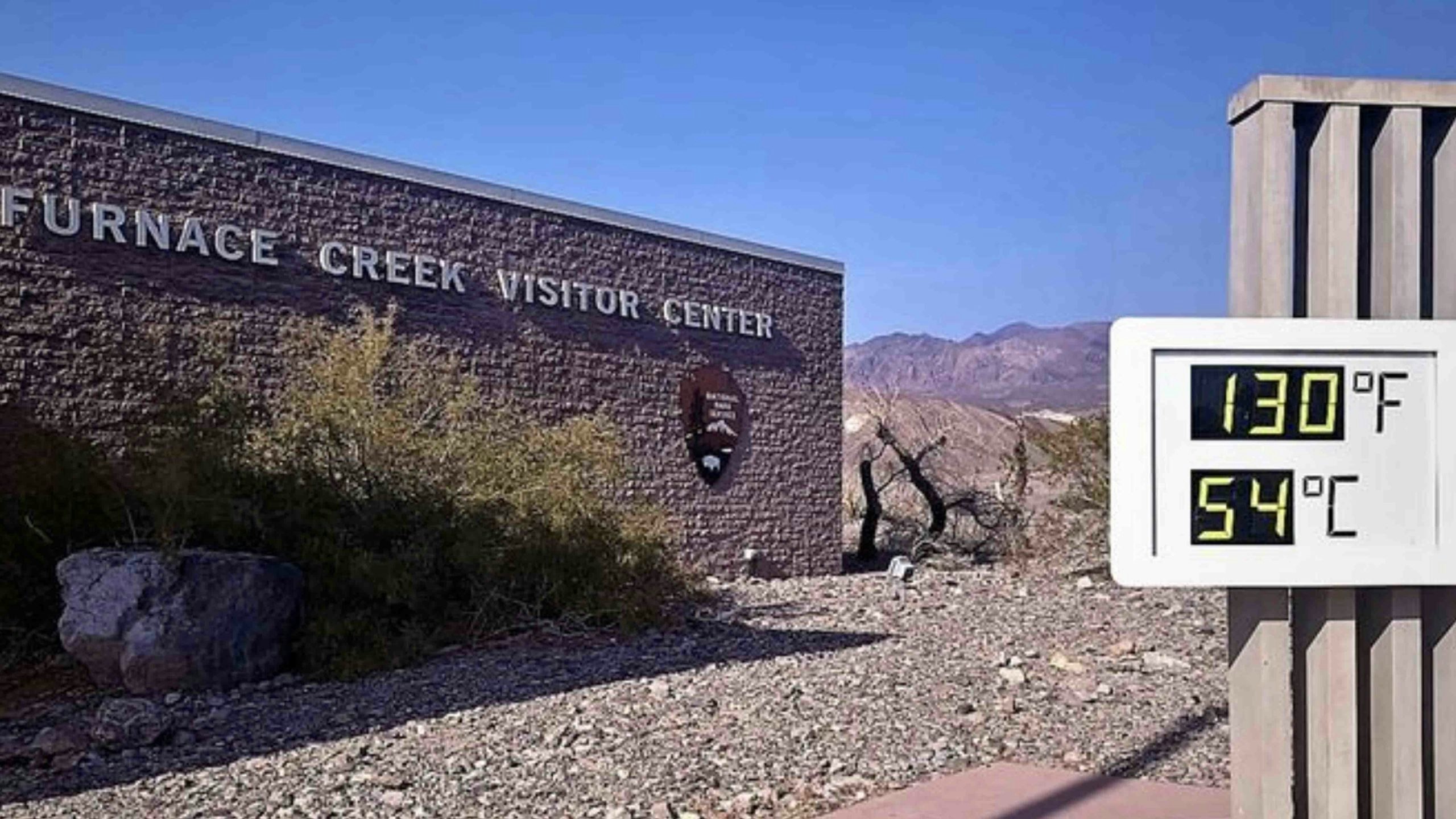
Record high temperatures in the northwest and southwest United States have caused a number of deaths and are threatening to overwhelm the power grid in some states like California.
But extreme temperatures like those that have been reported in other parts of the country are unlikely to occur in Wyoming, according to meteorologist Don Day.
“I think, for the next three weeks — this would take us through the end of July — I certainly see some hot days coming,” Day said, “but whether or not we hit a long string of record heat? I don’t see it.”
Last month saw the hottest Junes on record for eight states, including Arizona, California, Nevada and Utah and the heat currently baking those states could challenge previous record high temperatures — although meteorologists say this heat wave isn’t expected to be as extreme as the one that caused more than 100 deaths in the Pacific Northwest the last week of June.
Day explained that a tropical storm over the Pacific Ocean created a high pressure system over the Pacific Northwest — and that system was in just the right position to draw dry, hot air from over the deserts in California and Nevada.
“It was basically the perfect setup, which brought the record heat,” he said.
“Heat domes” are zones of strong high pressure, beneath which the air is compressed and heats up. In a drought-stricken region, however, a heat wave is even more extreme. With very little moisture in soils, heat energy that would normally cause evaporation, helping to cool the air, instead increases the heat in the air and the ground.
“This establishment of this hot pattern (in the southwest) is being exacerbated because those areas are in severe drought,” Day said. “So, you know, it always gets hot there this time of year, but the drought situation that they’re in, it makes this period of hot weather more impactful for sure.”
But Day clarified that the heat wave that residents in the southwest are experiencing right now is completely normal for this time of year.
“You do not expect 70- to 80-degree temperatures in the desert southwest and the central valleys of California,” he said. “This is a hot time of year, and it’s also a very dry time of year. The high pressure ridge that’s building — yes, it’s going to bring triple digit heat, but in terms of the deviation from normals, it won’t be anything like what happened in the Pacific Northwest. It’s just a summer wave of heat in the desert southwest, where temperatures are gonna be about 10 or 15 degrees above average.”
But Day said that the overall weather patterns that are forming over the intermountain west aren’t unusual.
“If you were to look at climatology, the hottest weeks of the year on average in most of Wyoming is going to be the middle of July to the middle of August,” Day said. “Those four weeks are typically the hottest days of the year. So you’re going to get heat regardless — just like saying you’re going to get really cold in January or February.”
But Day said that the weather patterns that bring afternoon showers and thunderstorms to Wyoming should continue.
“We’re going to start to get some of the subtropical moisture coming in, where you get more afternoon clouds, you get more afternoon showers with thunderstorms,” Day said, explaining that those showers and thunderstorms break up the heat of the day. “That’s not to say we won’t get some record highs, but nothing that is going to be off the charts.”

