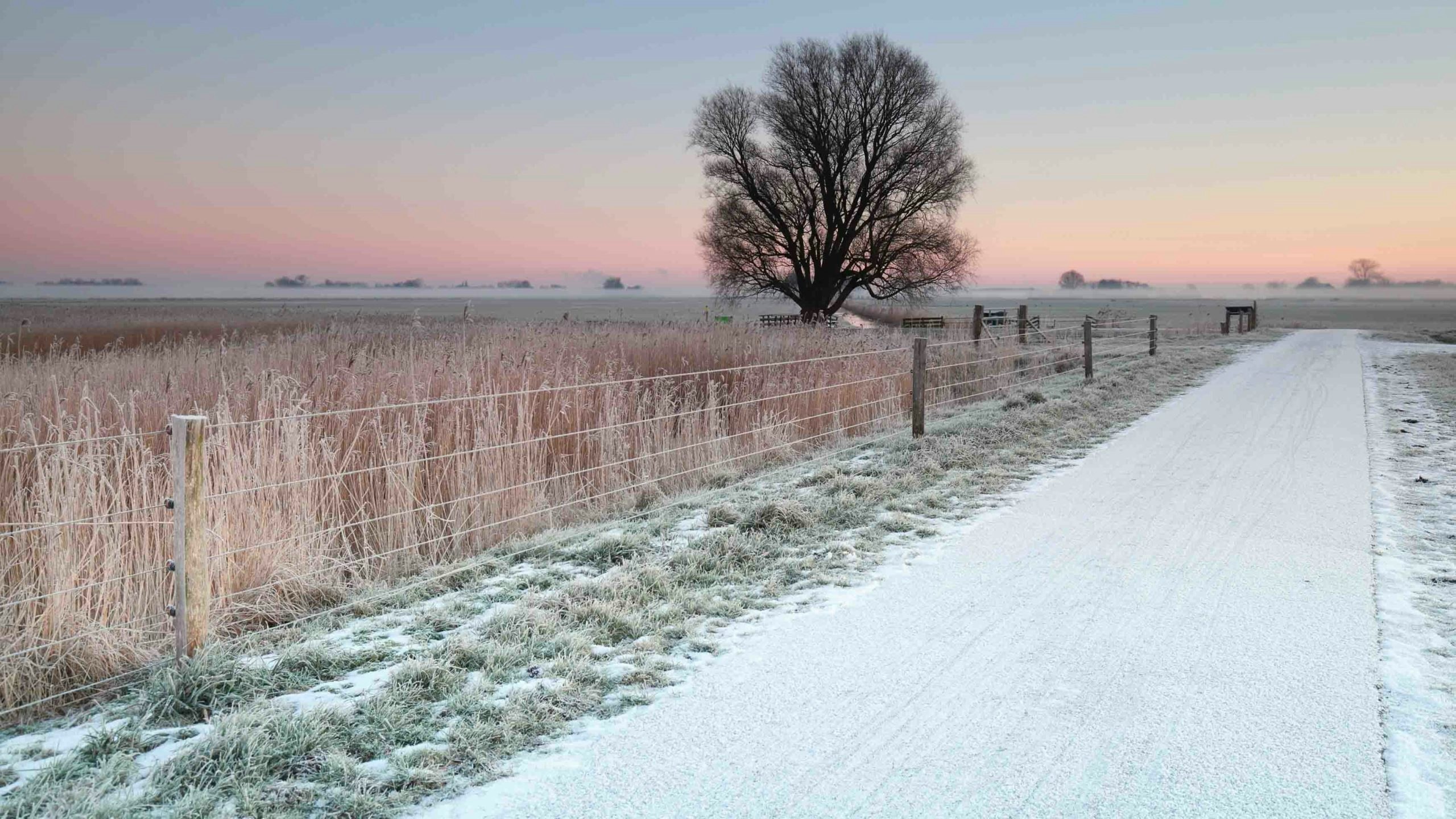
Wyomingites should be ready to stay cold this week, as state weatherman Don Day explained during his Tuesday morning forecast.
“Get used to the weather you have because you have another 48 hours of it,” he said.
This cold, snowy weather will be caused by Pacific and Arctic air masses over the region pushing against each other.
According to the National Weather Service in Riverton, the weather system led to temperatures as low as 15 below zero in Greybull, 12 degrees below zero in Buffalo and 11 below zero in Worland overnight Monday and will continue to keep temperatures frigid across the Big Horn Basin and Johnson County on Tuesday.
In western Wyoming, highs will be in the mid-30s.
Snow showers were expected to spread into western Wyoming on Tuesday, while breezy conditions were predicted across the southern part of the state.
The NWS in Cheyenne issued a wind chill advisory from Douglas to Alliance, Nebraska, for wind chill temperatures as low as 30 degrees below zero.
However, there a high wind warning was also in effect until Tuesday evening for the north Snowy Range Foothills, including Arlington and Elk Mountain, due to west winds with gusts of up to 70 miles per hour.
In addition, a winter weather advisory was in effect until 5 a.m. Wednesday for the Snowy and Sierra Madre ranges, where up to six to 12 inches of new snow and wind gusts of up to 50 mph were expected.
Low temperatures in southeastern Wyoming will drop to around 10 degrees in the Cheyenne area and around 25 degrees in Laramie, the Weather Service said.
Day added that later this week, there will be a push of arctic air to the south and southwest.
“Between late Thursday through Sunday into Monday, we see a lot of areas getting snow,” Day said. “The exact amount of snow, well … we still have some questions.”

