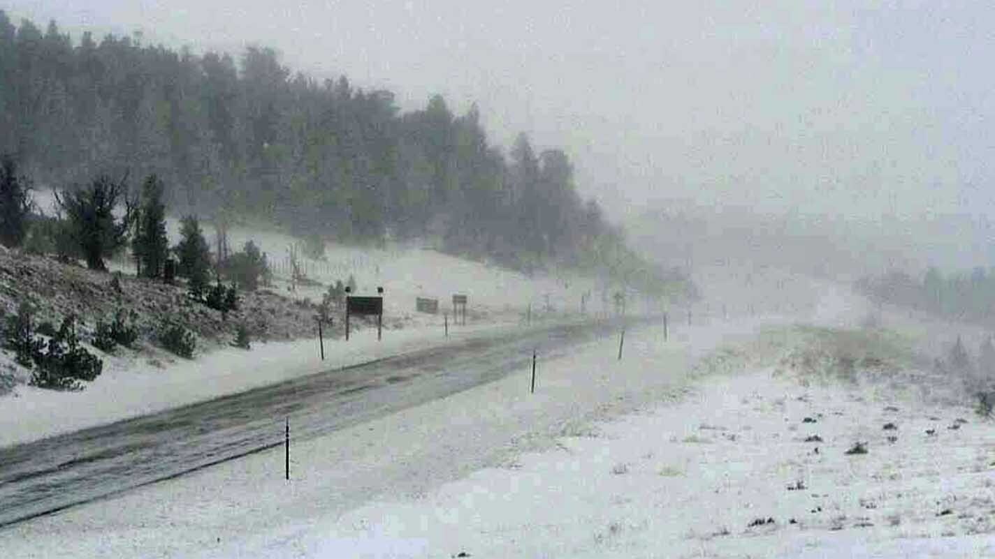
Wyoming had it all yesterday. Record low temperatures, significant snowfall, and winds high enough to be categorized as hurricane strength.
If you just moved here: Welcome!
Yes, we had low temperatures. Record-setting in many areas.
Record lows — so far — were recorded in Buffalo, Lander, Riverton, Rock Springs, and Yellowstone.
Record cold high temperatures (which is confusing) were also set in many towns including Big Piney, Buffalo, Casper, Cody, Jackson, Lander, Riverton, Rock Springs, Worland, and Yellowstone.
To put this in perspective, Big Piney, which is frequently called the “icebox of the nation” normally has a high temperature of 71 degrees on September 8. The town’s previous record cold high was 55. Yesterday, it only hit 51 — which was pretty warm in comparison to the rest of Wyoming.
Casper’s normal high for September 8 is 79. It struggled to get over freezing yesterday and recorded 33 degrees as its high temperature.
As for snow totals, Fremont and Natrona counties both had locations which received 17 inches while one location in Park county had 12 inches of snow, and a Johnson county spot received 11 inches of snow.
The complete snow accumulation chart is available here.
And it wouldn’t be Wyoming without hurricane-force winds.
The Rock Springs airport recorded a high wind gusts of over 80 mph many times, including a gust of 86 mph at the airport and southeast of the area.
Other notable locations with significant wind include: Farson (68 mph), Green River (67 mph), and Wamsutter (60 mph).